
Opening hours:Open today
Place:
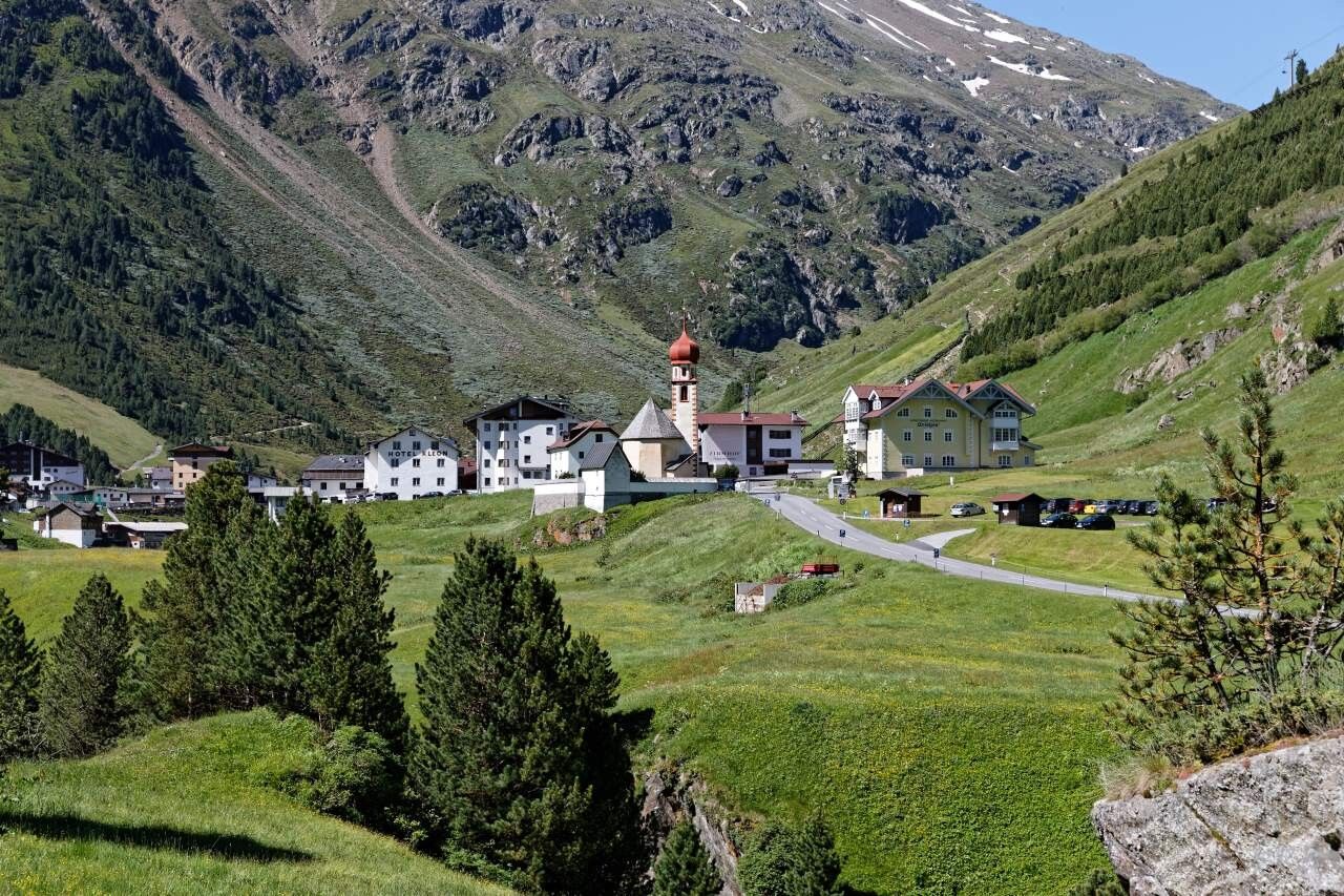
Vent
:
Alpine pasture / hut / mountain restaurant
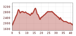
Vent-Wilder Mann-Breslauer Hütte-Vernagthütte- Guslarspitze-Hochjoch Hospiz-Schöne Aussicht-Vent
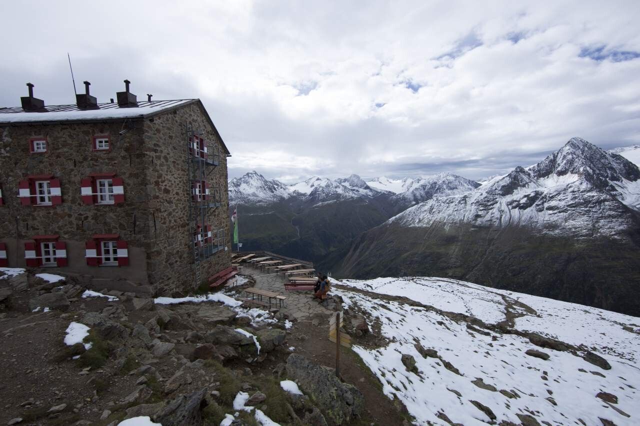
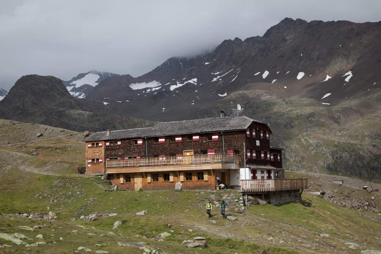
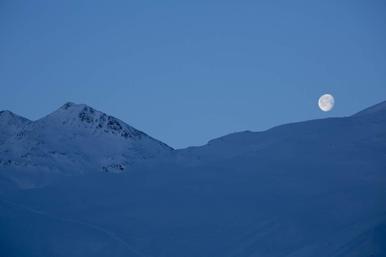
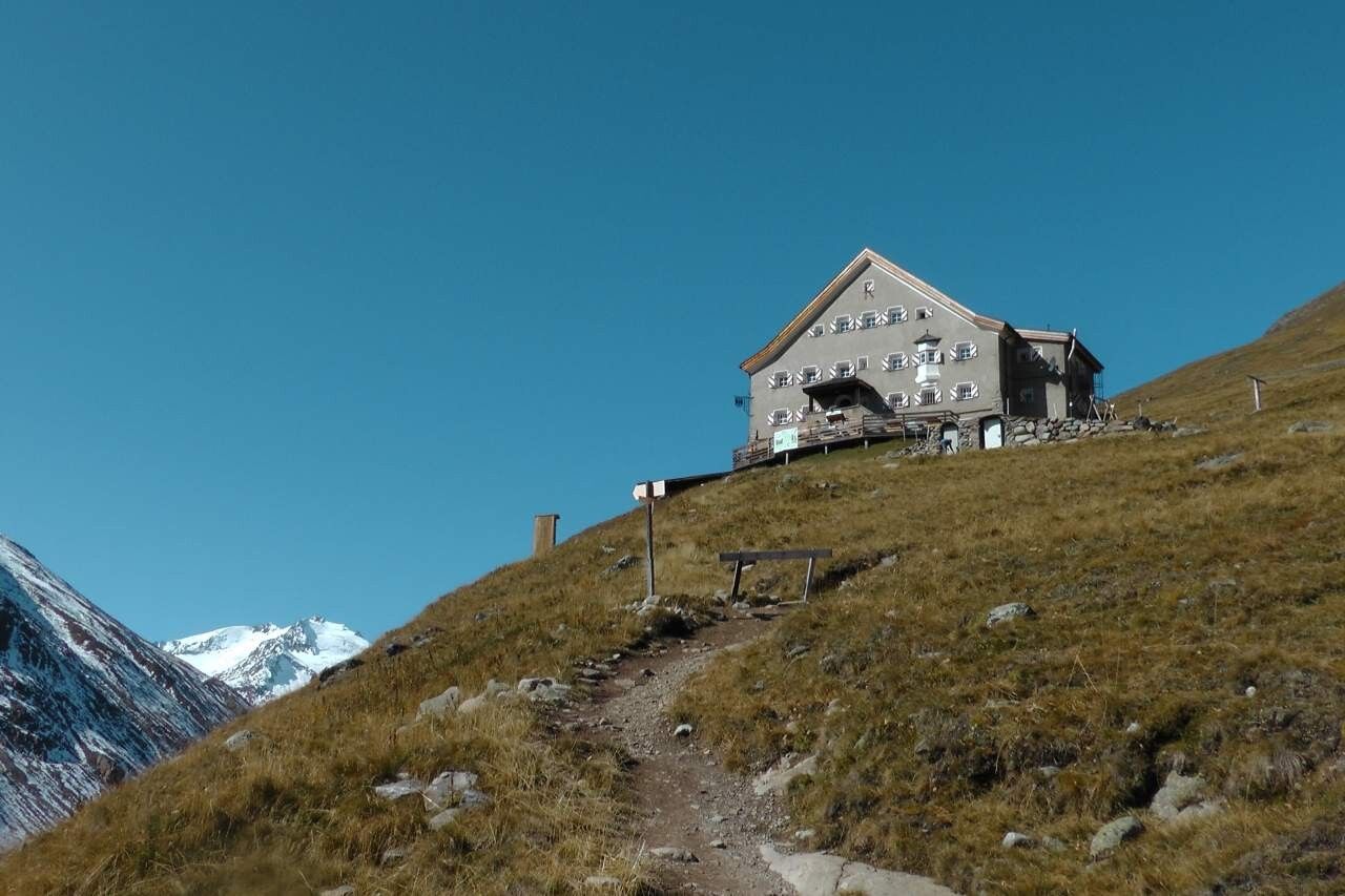
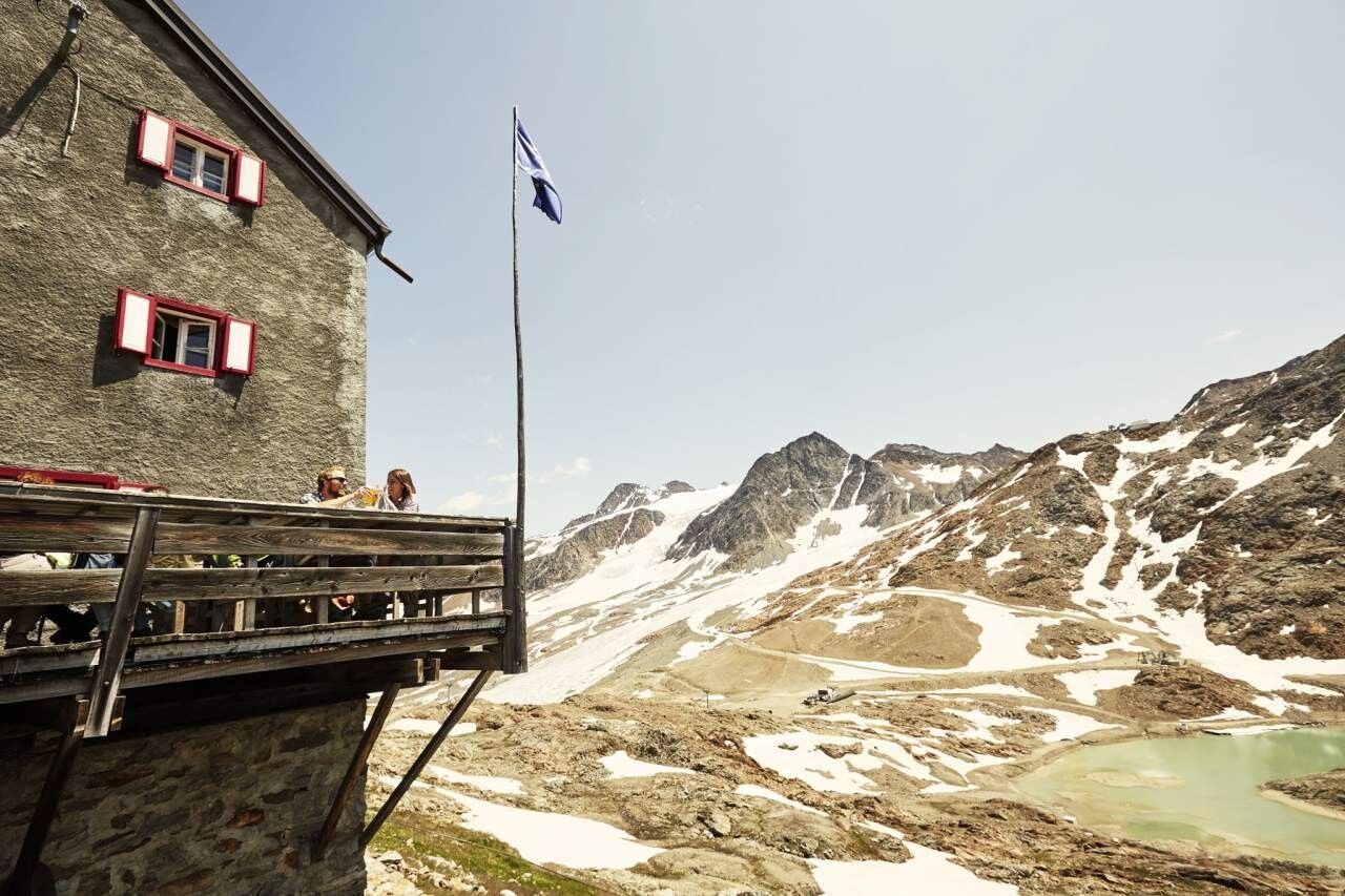
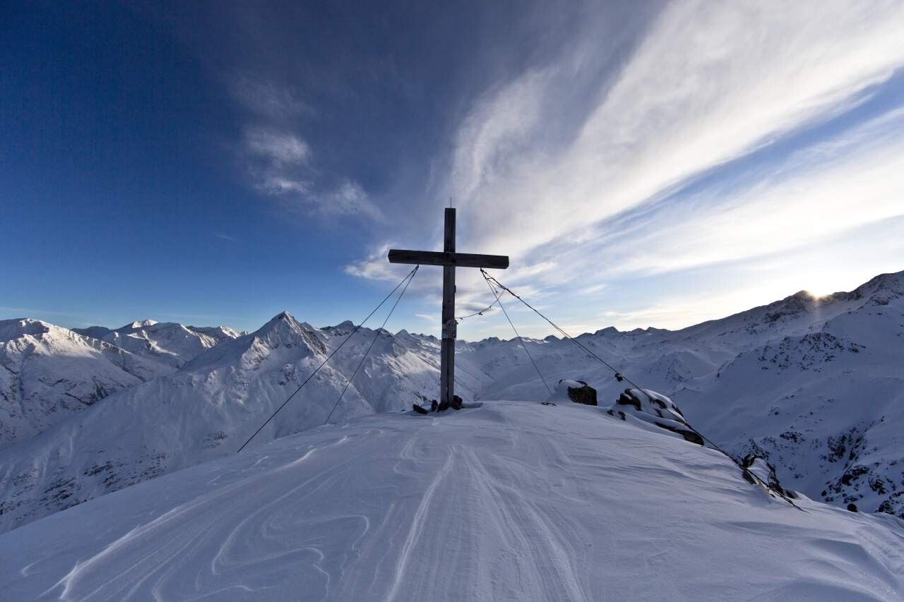
Take the double chair lift from Vent to the Stablein top station. After about 30 walking minutes towards Breslauer Hütte you turn right. Walking another 30 minutes, above the top station of the T-bar lift, you turn right again and follow the signposts. Conquer the peak on a very steep and rock-strewn trail. Picture-book panoramic views of Wildspitze peak, Rofenkar glacier, Vent's mountains and the Ortler massif await you here. Descend across the summit towards a small ridge, then down to the Rofenkarferner glacier snout and the glacier lake on a secured footpath. A narrow trail takes you down to Breslauer Hütte on the right. Continue on Seufertweg trail without much change in elevation. From scenic Vernagtbachtal up to Vernagthütte. Here you stay overnight. From Vernagthütte a slightly descending and then steeply rising switchback path leads to the mountain ridge and the peak of Mittlere Guslarspitze. Hike down to Hochjoch Hospiz on rubble fields and moderately steep slopes. Stay overnight. From Hochjoch Hospiz a precipitous path takes you down to the iron bridge over Hintereisbach brook. A couple of moderately ascending switchbacks lead above Hochjochferner glacier to Schöne Aussicht refuge hut. Return to Vent on the same route.
Enjoy a both comfortable and relaxing train ride to the train station in Ötztal Bahnhof. You get off the train in ÖTZTAL Bahnhof where you change to a public bus or local taxi. The current bus schedule can be found at: http://fahrplan.vvt.at
The following parking facilities are available in Vent:
In front of the village and at the valley station from the chair lift (payable)


