Arrival by public transport
Linienbus
4104
Bus stop Tux-Hintertuxer Gletscherbahn
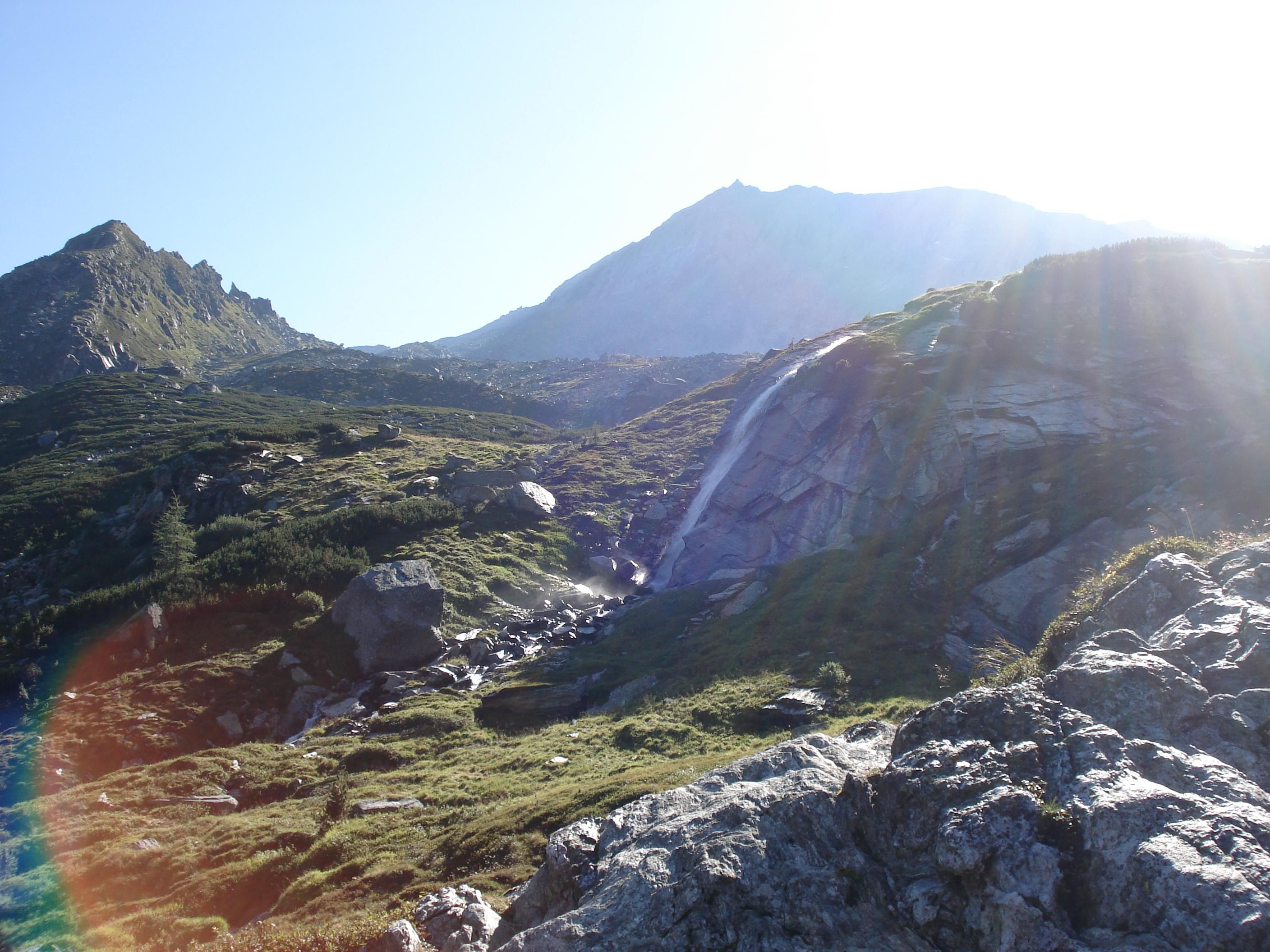
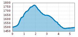
Varied tour with glacier views and waterfall panorama.
Sports shoes with good thread sole – BETTER: light hiking shoes
Clotihing suitable for the weather
Sunscreen
Drinks and food
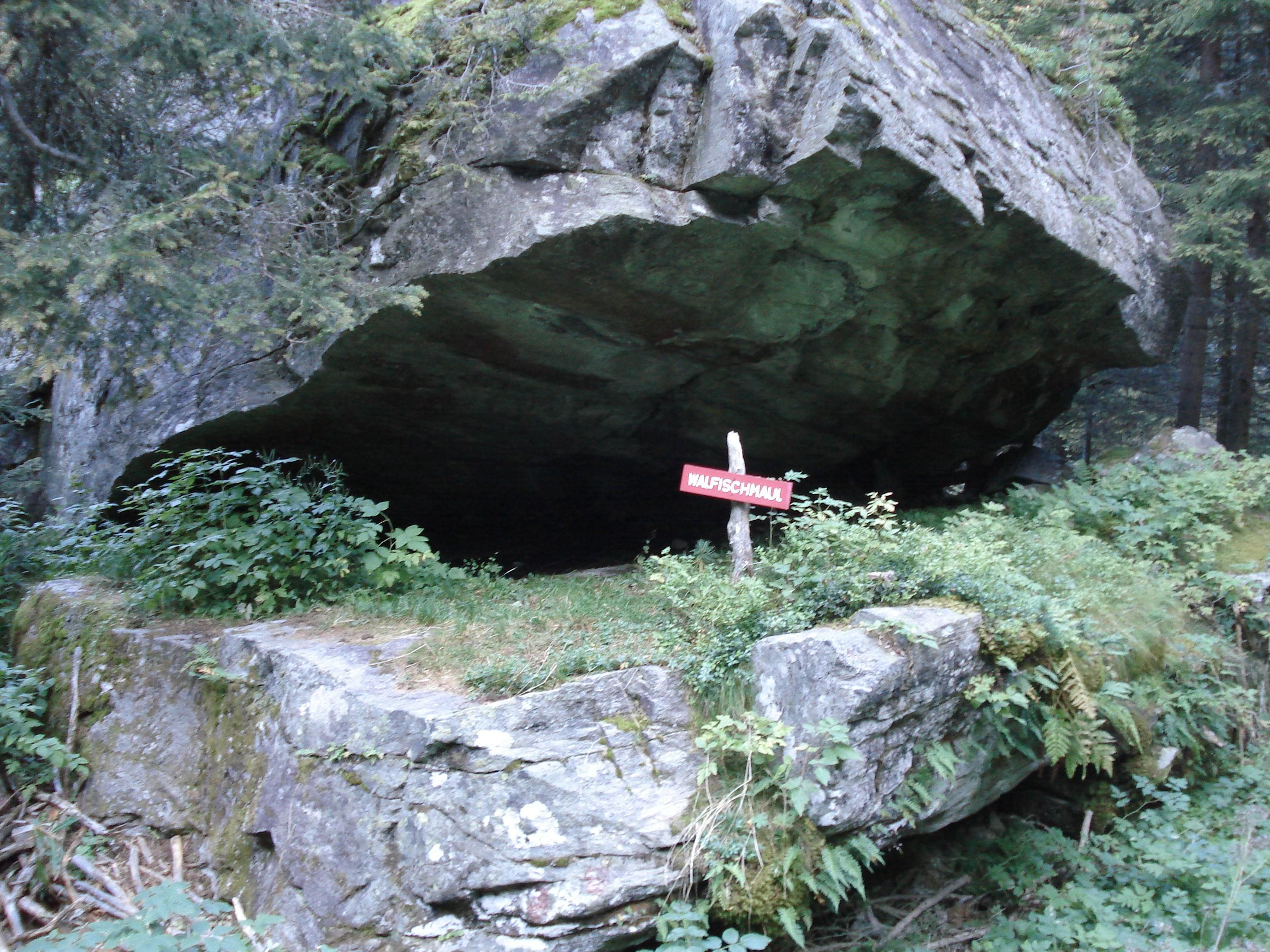
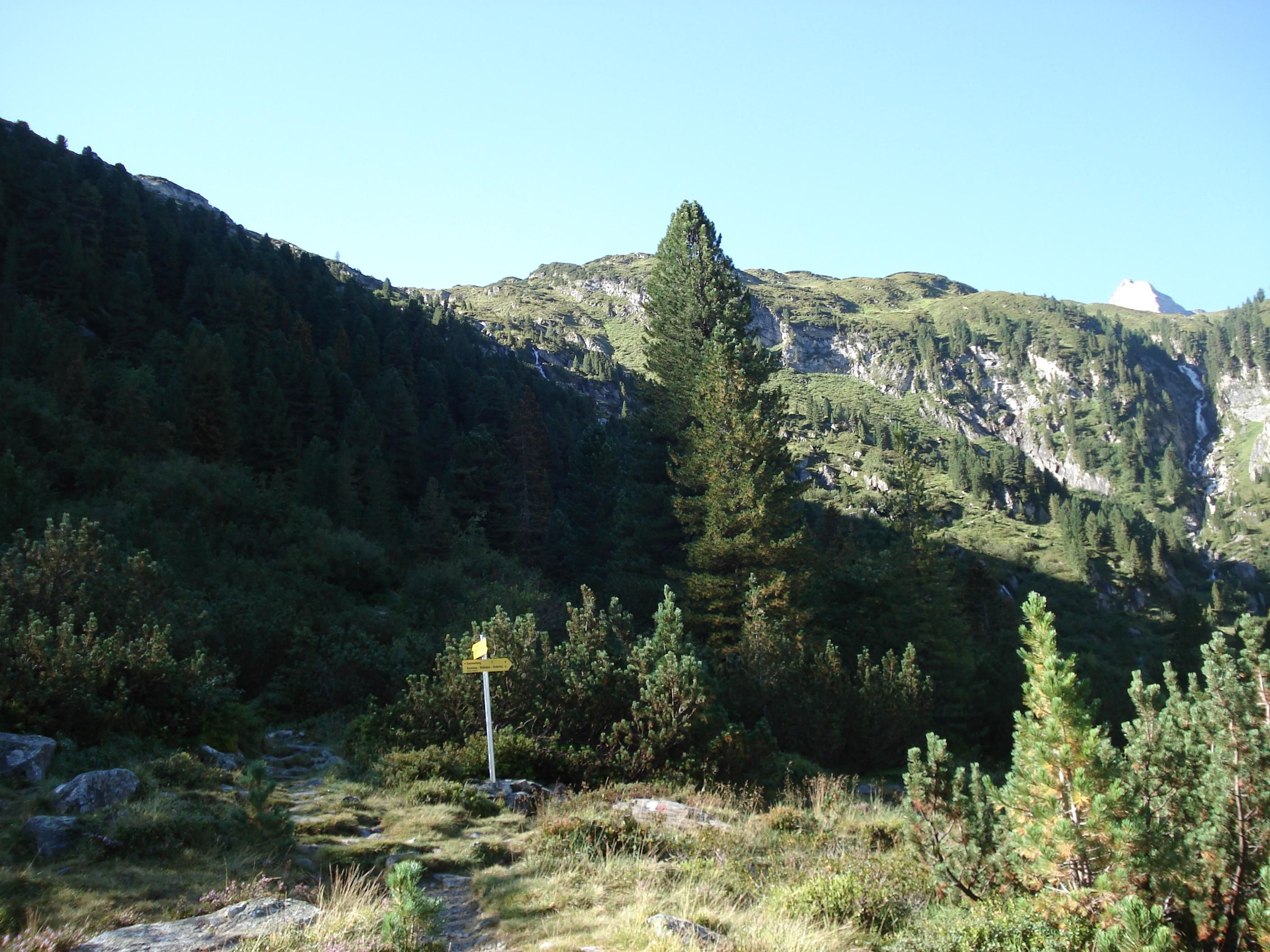
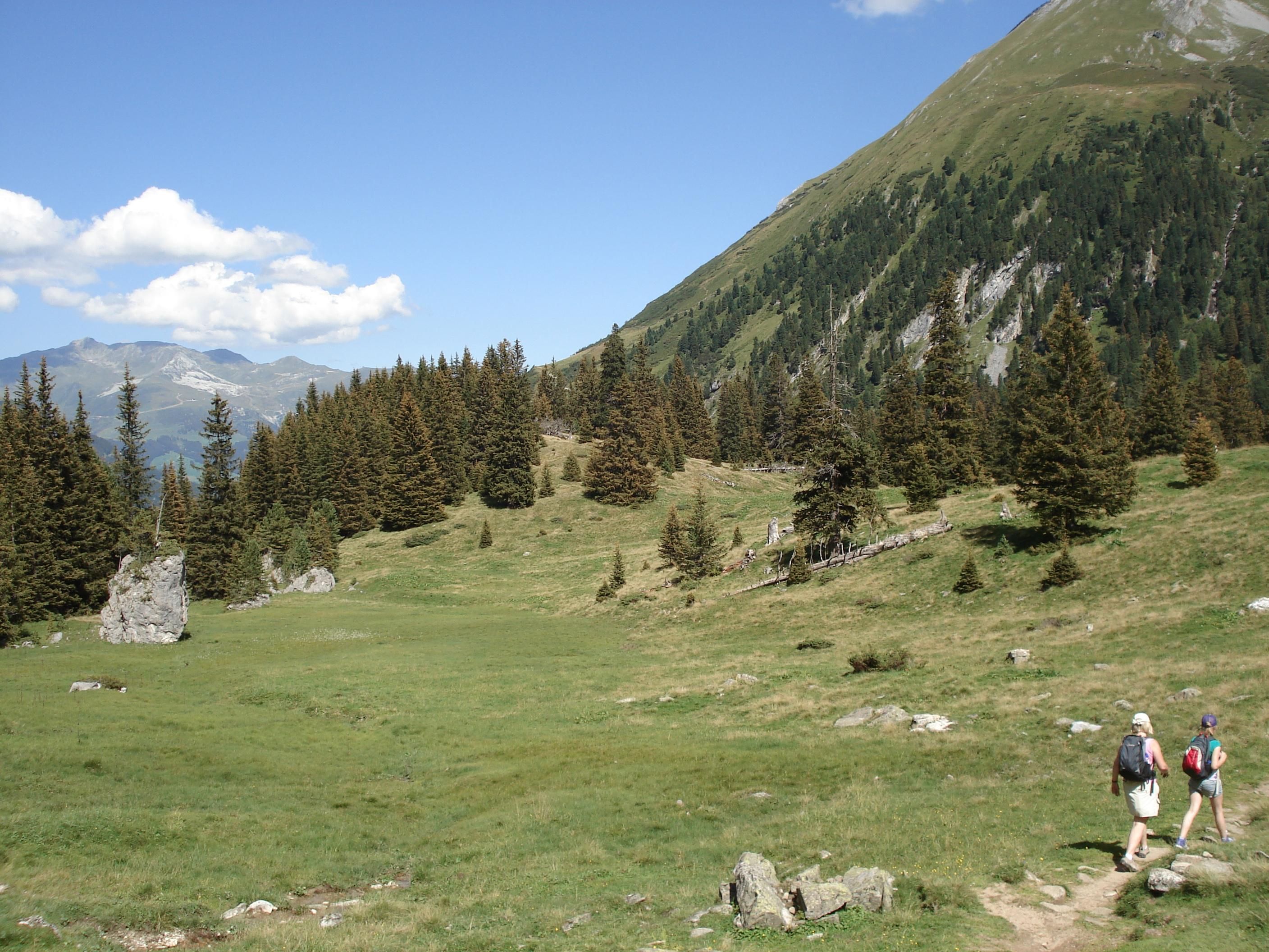
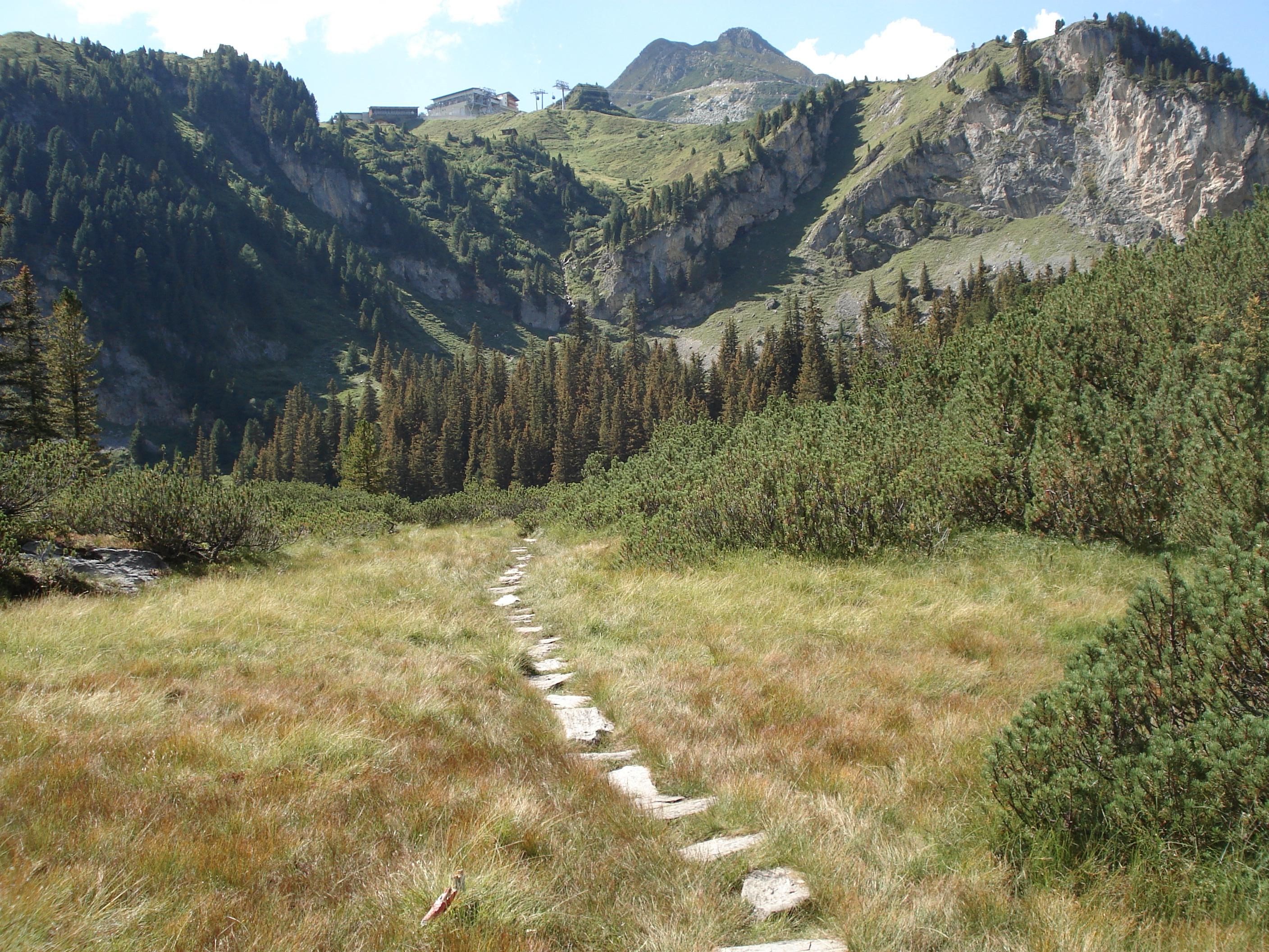
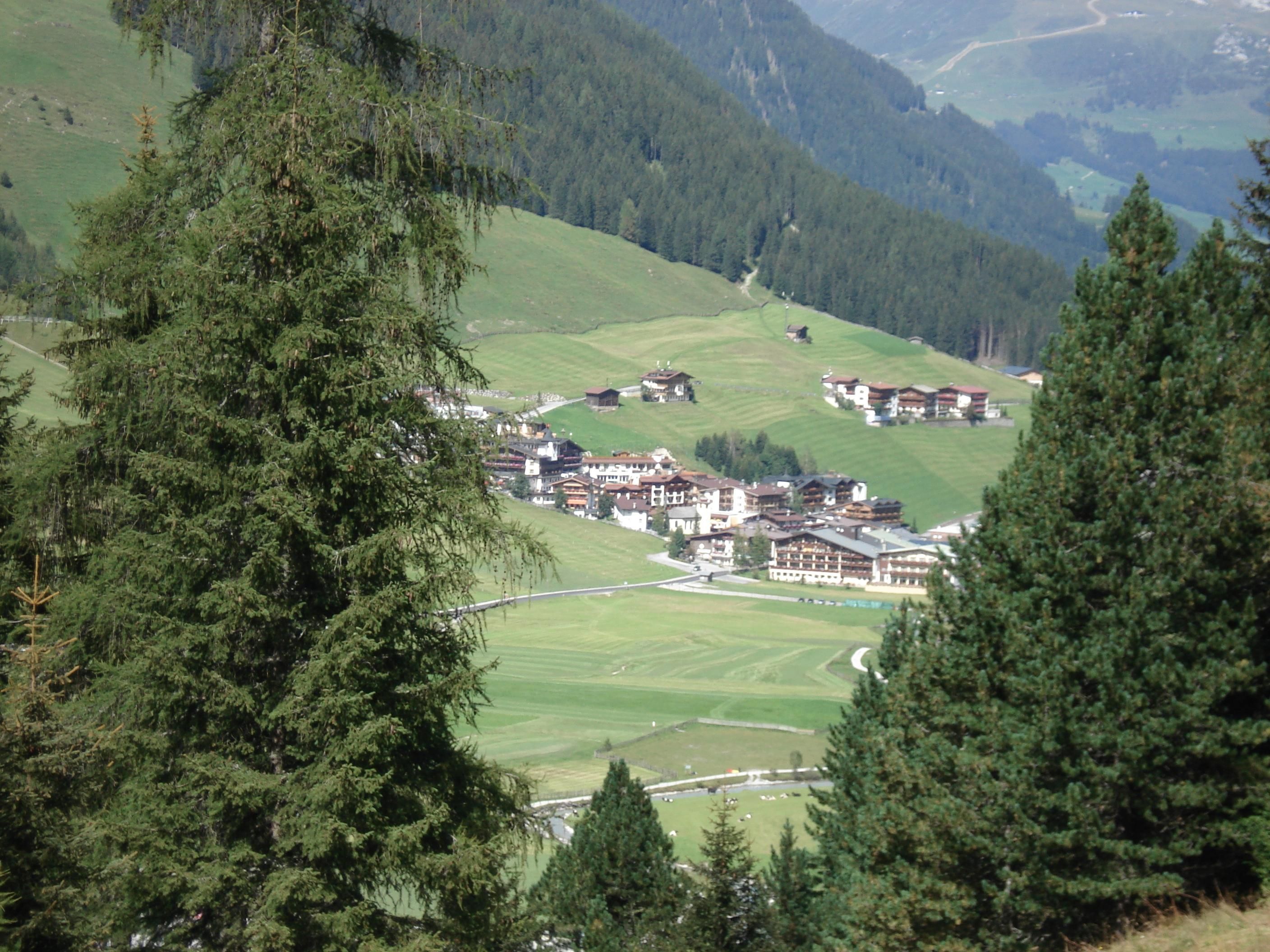
From the bottom station of the glacier cable car in Hintertux, make your way to the left through the fence and then on to the right via the broad path 16 until reaching the bridge. Cross the stream and turn right following the winding path up and then along the stone wall at the edge of the gorge until you reach the beautiful valley basin Waldeben. From here you can take the route descending to the left for about 20 m and then on through the dwarf-pine fields until reaching the Spannagelweg (path AV 526). Turn left again (path 14, Sepplsteig) and via the Walfischmaul (boulder) down to Hintertux to Thermal-Badhotel Kirchler (house no. 765) and on the path 10 (Badweg) back to the bottom station of the glacier cable car.
Linienbus
4104
Bus stop Tux-Hintertuxer Gletscherbahn
Day parking lot Hintertuxer Gletscherbahn


")
.jpg")

.jpg")


.jpg")
.jpg")

")


")
.jpg")
.jpg")

.jpg")


