Mountain hikes Waterfall in the Breuergraben

Scheffau am Wilden Kaiser / Kitzbüheler Alpen
Difficulty ratings: easy
Route length: 3.0 km
Duration: 1:00 h

Short hike to the waterfall in the Breuergraben along the Schwarzache.

Tour information

  • Requirement: easy
  • Length: 3.0 km
  • Duration: 1:00 h
  • Elevation uphill:150 hm
  • Elevation downhill:150 hm
Highest point836 m

Starting point

Brandstadlbahn valley station, Scheffau (681 m)

Finishing point

Brandstadlbahn valley station, Scheffau (681 m)
  • Fitness level 1 / 6
  • Technique 1 / 6

Features

  • Suitable for families

Best time of year

  • January
  • February
  • March
  • April
  • May
  • June
  • July
  • August
  • September
  • October
  • November
  • December

Trail condition

The composition of the trail varies between asphalt and hiking path.

Equipment

Rucksack, sturdy hiking shoes, weather-appropriate hiking gear, sun protection, waterproofs, snack and drink, mobile phone, plastic bag for waste, route description, ID, cash
Source: TVB Wilder Kaiser

Description

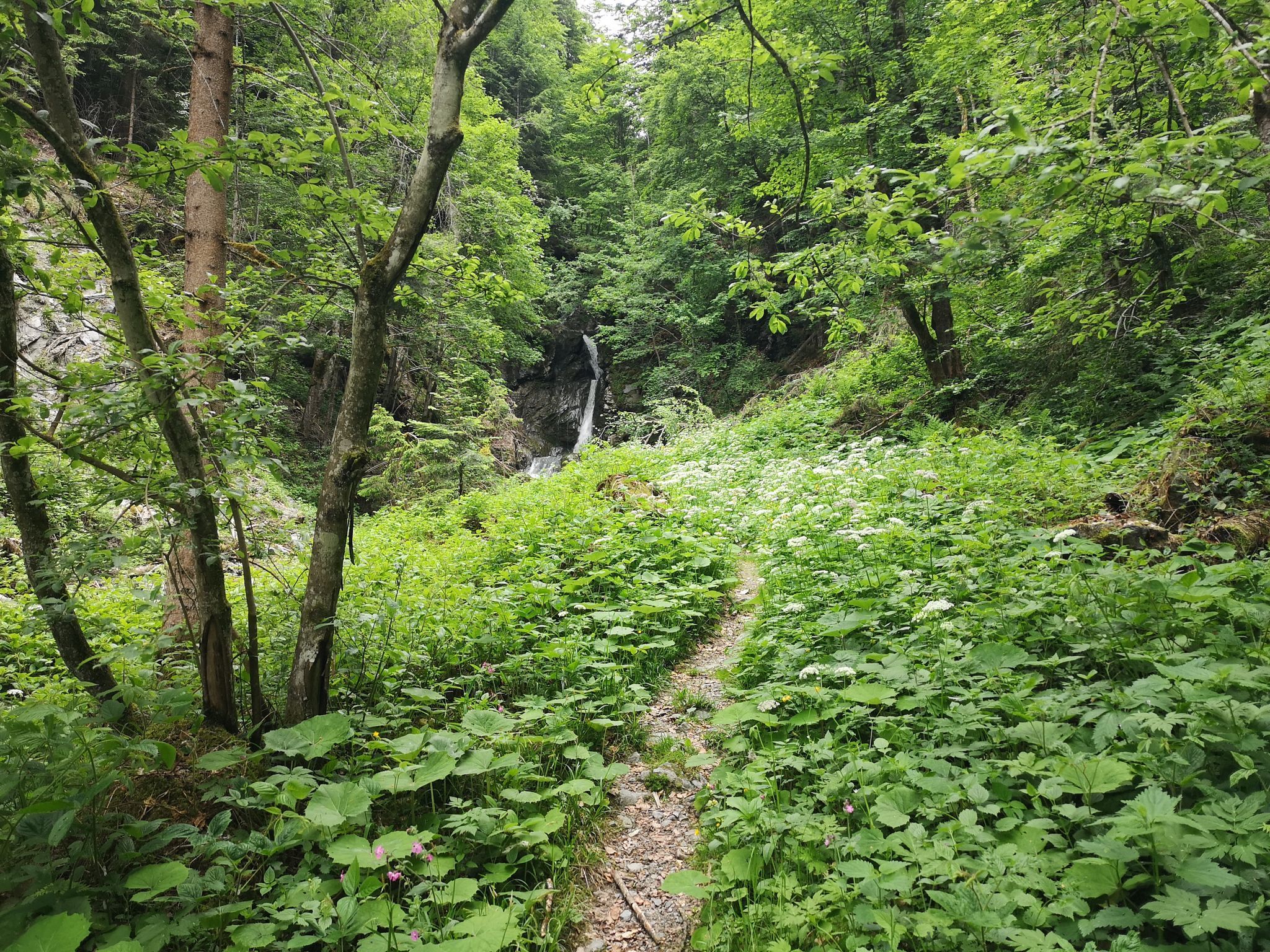
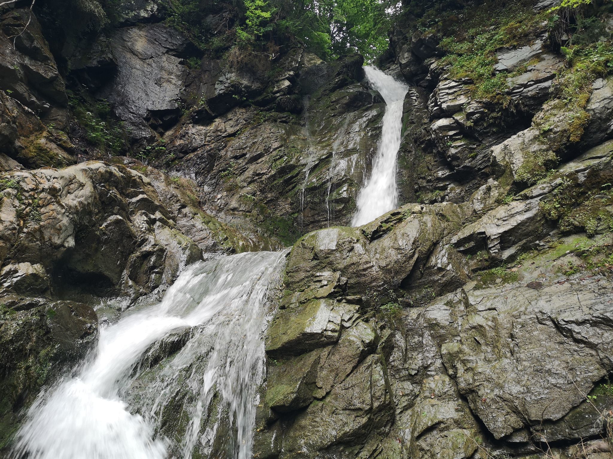
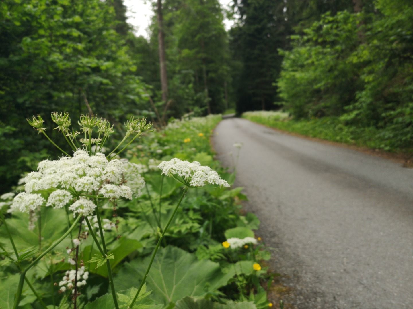
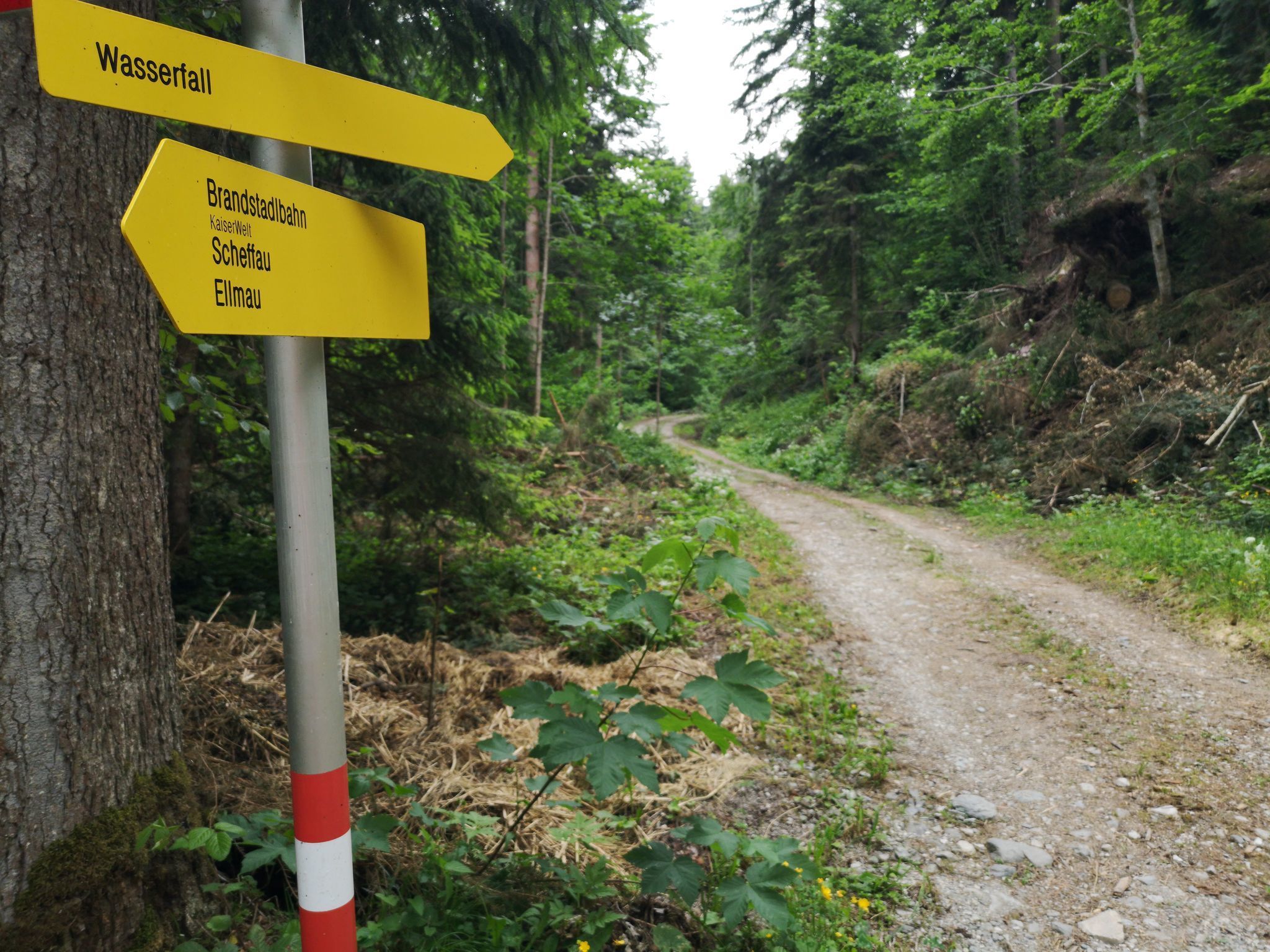
The starting point for this short hike is the Park & Ride car park next to the Brandstadlbahn cable car in Scheffau. First cross the gravel car park and then turn right onto the paved path. Now follow the signs to the waterfall (path no. 30) up into the forest. At the last junction, keep right and turn into a forest path, which narrows to a small footpath eventually. You can hear the rushing of the waterfall from there already and by jumping from stone to stone you almost get under the falling water.
You return to the starting point via the same route.

Nearby huts and mountain restaurants

Getting here

  • Parking

    Car park Park & Ride, Scheffau (682 m) – pay & display

More tours in the surrounding area

  • Hintere Goinger Halt summit tour

    Difficulty:difficult
    Length:9.3 kmDuration:6:30 hElevation uphill:1,090 m
  • Panoramic circuit Brandstadl–Hartkaiser

    Difficulty:easy
    Length:6.0 kmDuration:1:50 hElevation uphill:170 m
  • Hochalm hike

    Difficulty:medium
    Length:19.6 kmDuration:7:00 hElevation uphill:1,140 m
  • Winter walking Biedringer Platte

    Opening hours:open
    Length:12.7 kmDuration:5:30 hElevation uphill:470 m
Newsletter

The mountain is calling? So does our newsletter!

In our monthly newsletter we reveal the best holiday tips for Tyrol.