
Place:Wildermieming
:Alpine pasture / hut / mountain restaurant:vegetarian
Wetterkreuz summit cross
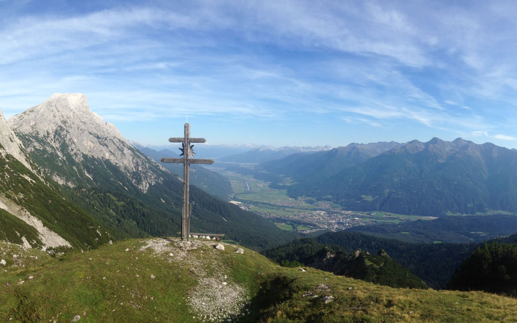
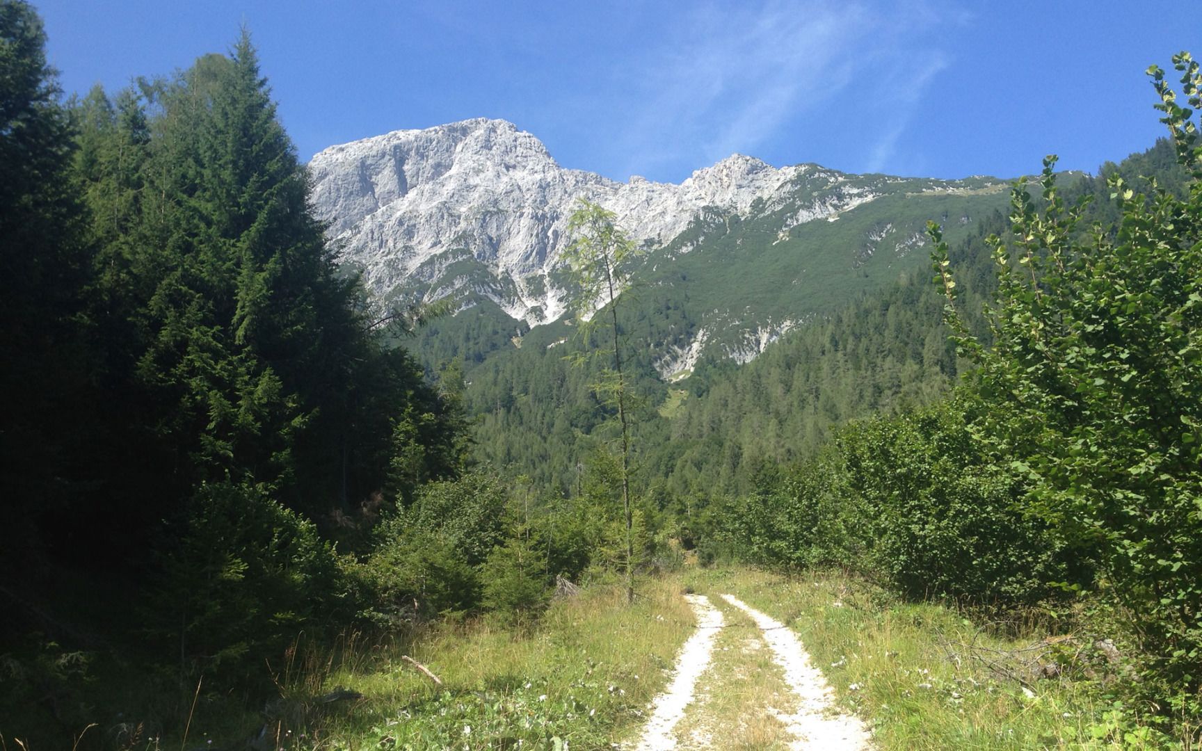
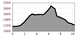
This hike starts at the car park and follows the forest road past the barrier to the Straßberghaus mountain hut. Just before the hut, you'll come to a fork in the road where you should turn right to follow the Hintereggensteig trail. The path leads steeply uphill until you come to another crossroads. From there, turn left and hike along the undulating trail until you reach the point where you can collect a stamp. From there, turn right to join the Dengg’n-Edi-Gratlsteig trail and follow it as it climbs quite steeply uphill through mountain pines. You'll come to a short section of the trail that is secured with cables and shortly afterwards, you'll reach a fork in the path. Continue straight on to the summit cross.
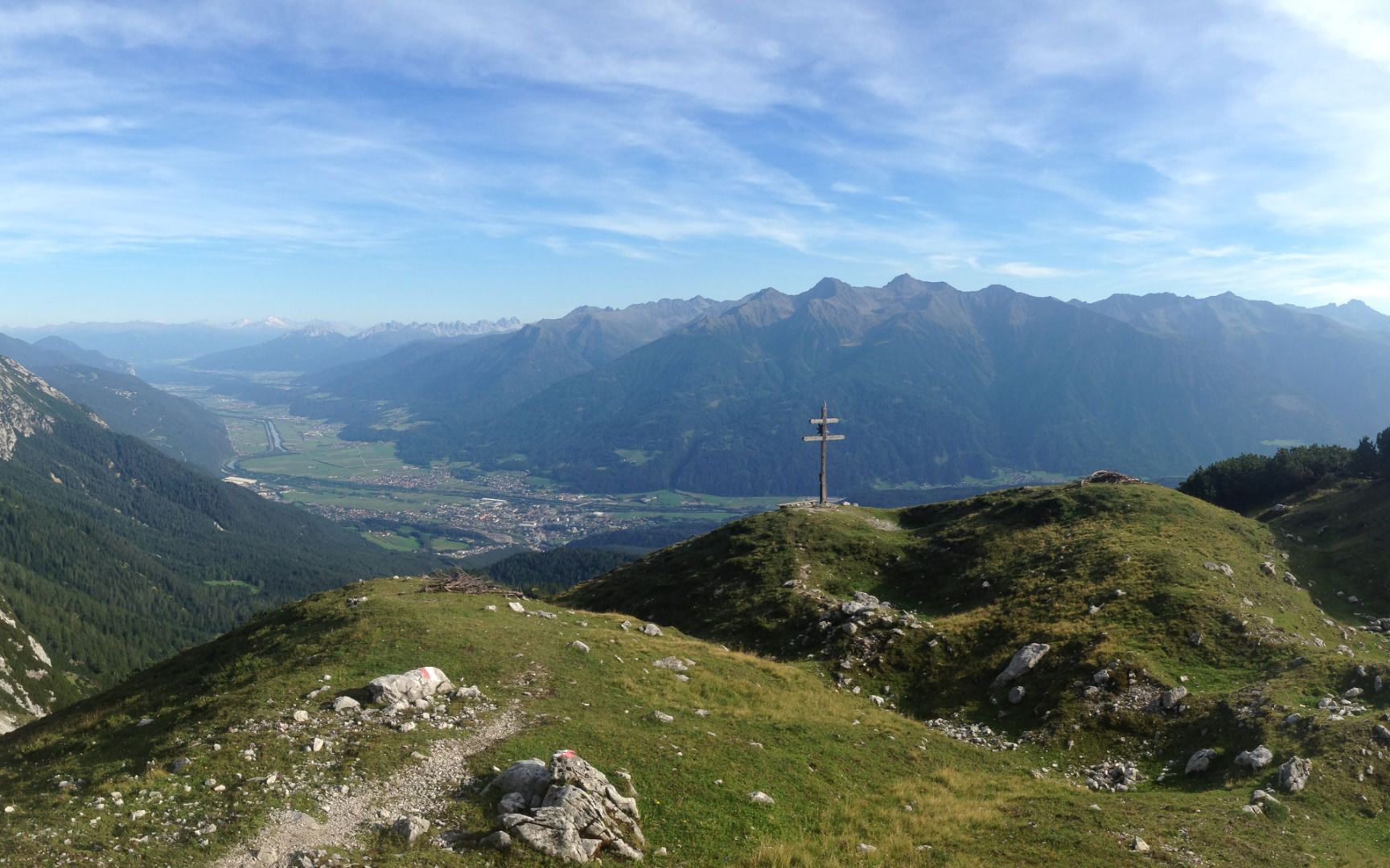
The hike back follows the same trail down from the Wetterkreuz cross until you come to the first junction. From there, follow signs to the Neue Alplhütte mountain hut and follow the trail as it winds its way down the mountain to the alpine pastures around the Neue Alplhütte mountain hut. Finally, take the forest road back to the Straßberghaus mountain hut and continue on to the car park.


.jpg")


.jpg")


.jpg")
.jpg")


")

.jpg")
