
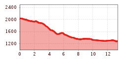
Difficulty:medium
Length:3.7 kmDuration:0:20 h
Hoch-Tirol-Trail Stage 3
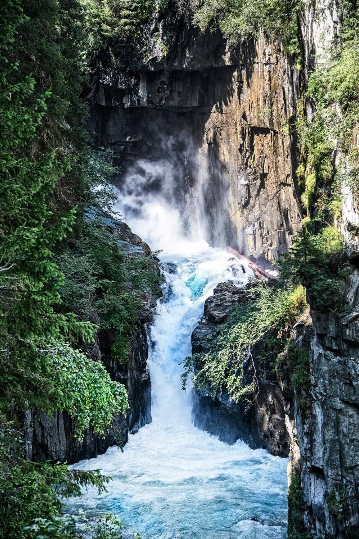
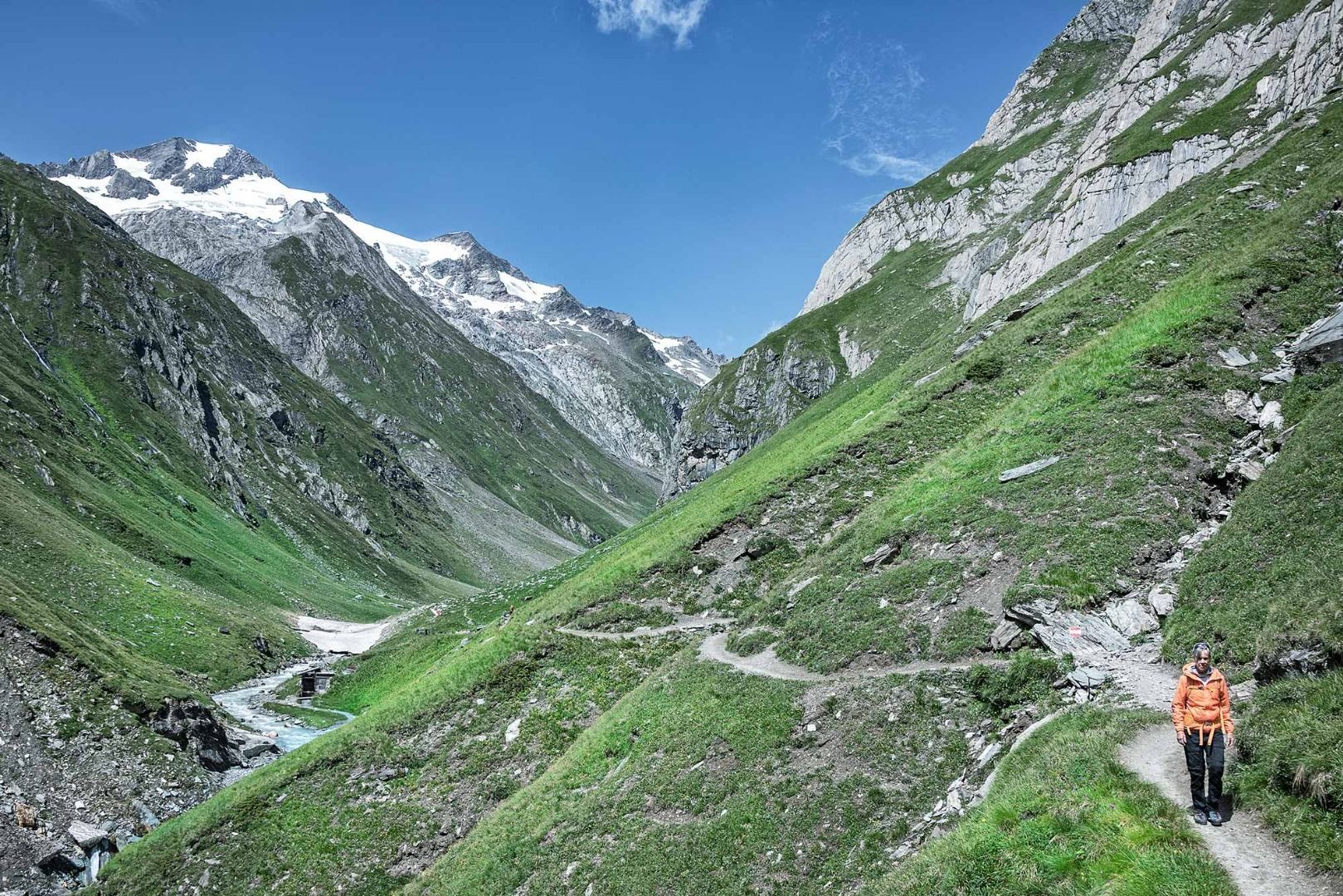
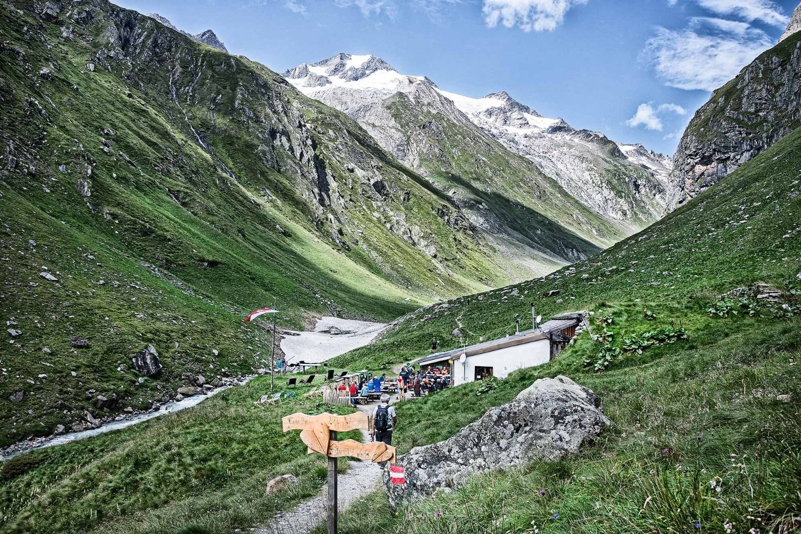
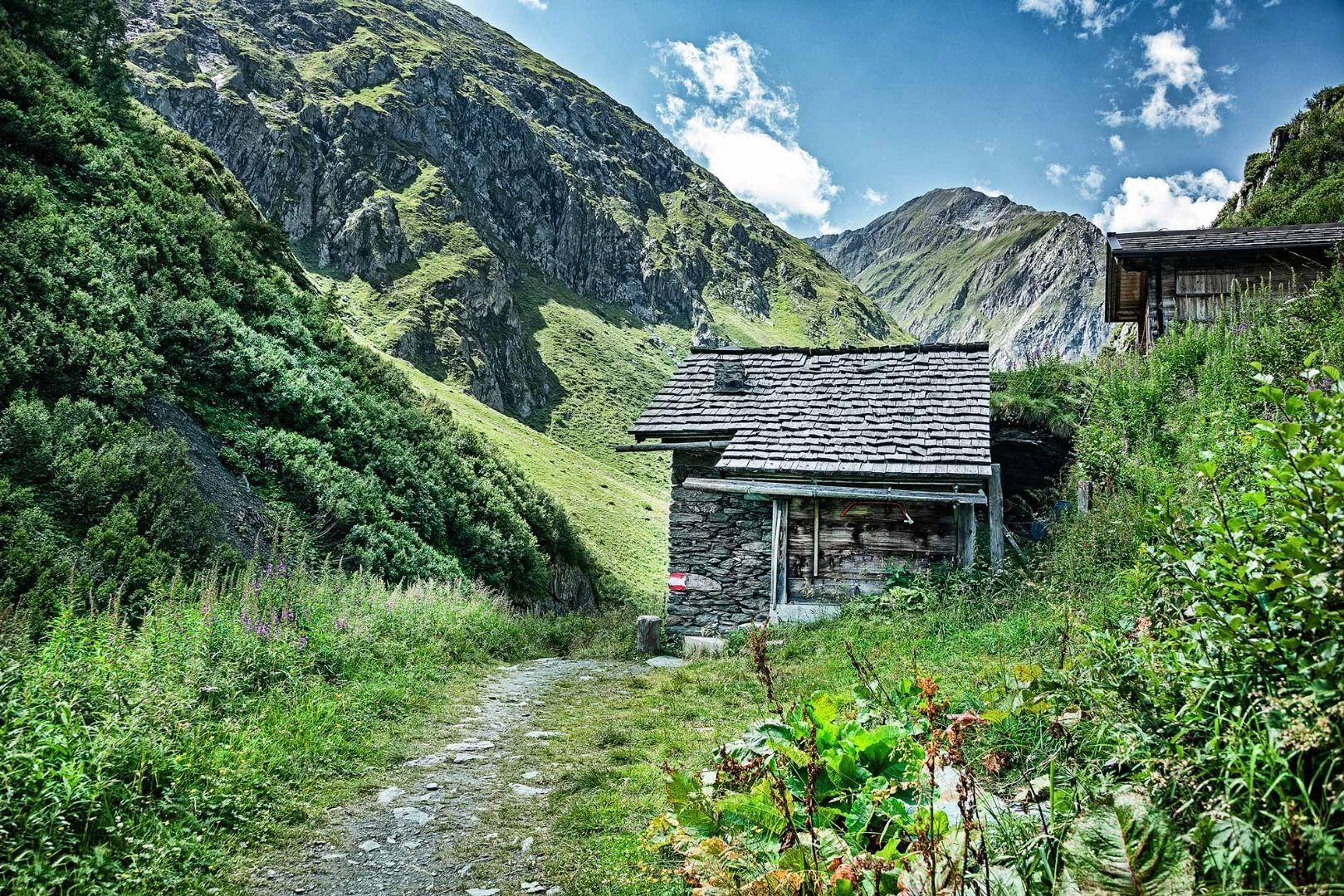
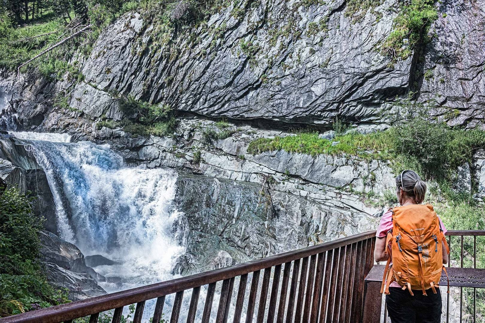
From the Clarahütte, ascend the Isel Trail across the Umbaltal valley (follow the signposts) and, once at the fork, continue walking straight ahead. Walk past the Ochsnerhütte and then descend to the Isel. Cross the bridge and climb to the next fork on a partially steep main road. At the fork, take a left (signpost to Umbalfälle) to then coast by the Isel on a picturesque, ascending path leading you by some waterfalls. Just before the Isslitzeralm, you will come across another fork (signpost Waldweg Prägraten). An opposing climb follows before descending towards Ströden. Just before the hamlet, the signposted path takes a right – cross the Isel and stick to the path, which will cross the Gloschlucht and its impressive waterfalls. Take a right at the fork next to the Isel. After a brief climb, cross the mountain meadows and walk through the forest to the next fork. From there take a left, cross the Isel and walk to Hinterbichl. From there you follow the path directly along the glacier river Isel to Prägraten am Großvenediger.


")


www.bergpixel.de")


