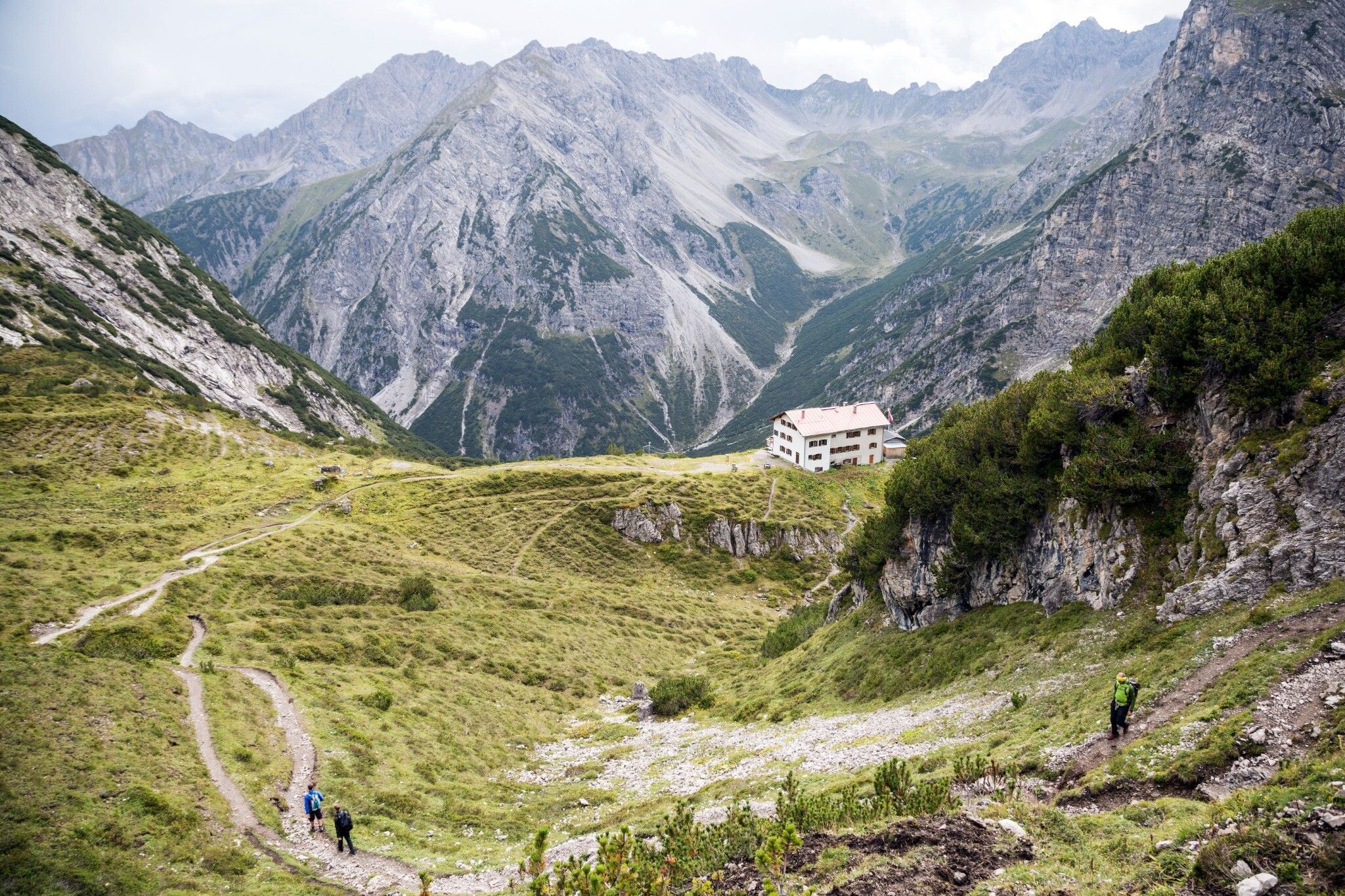
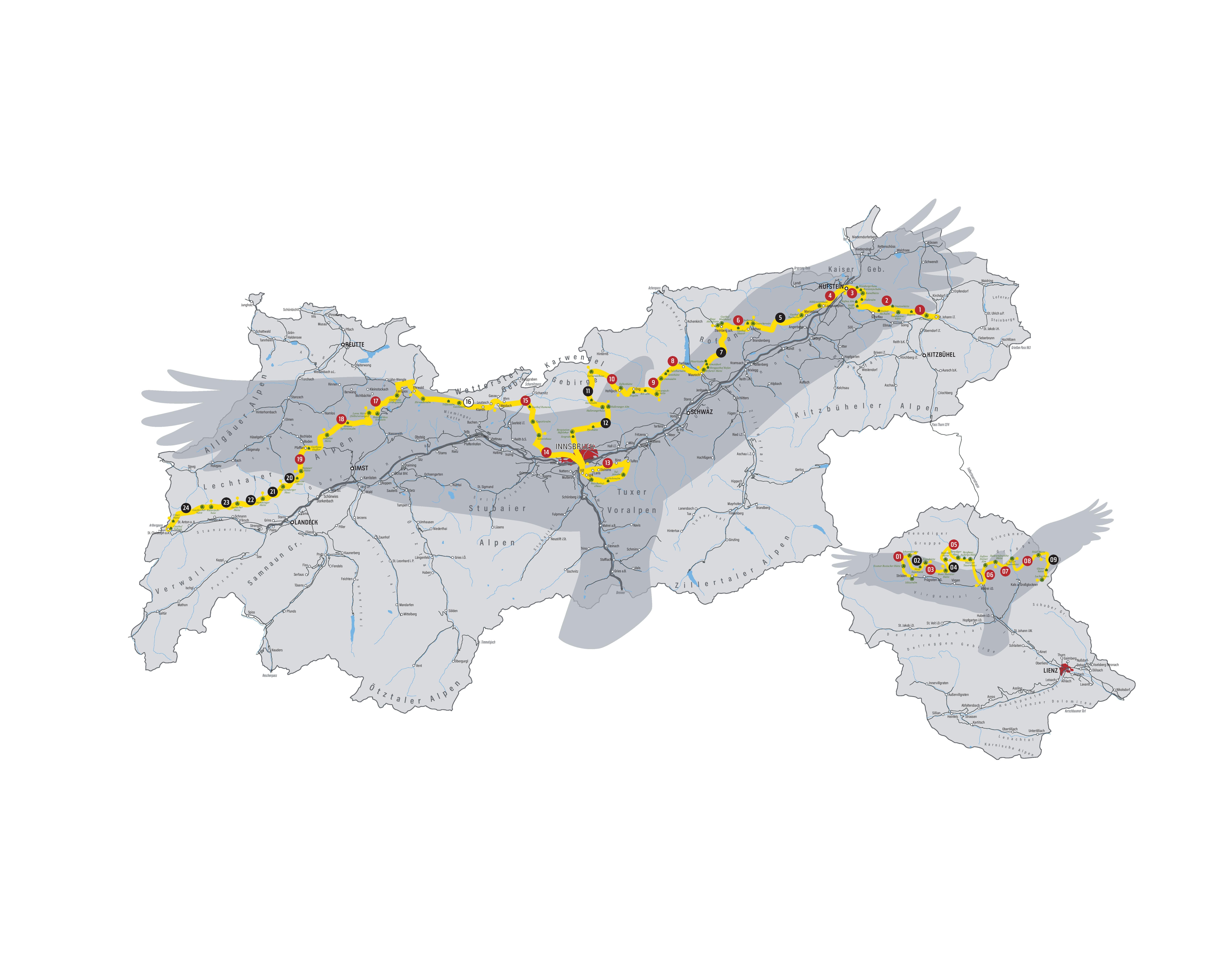
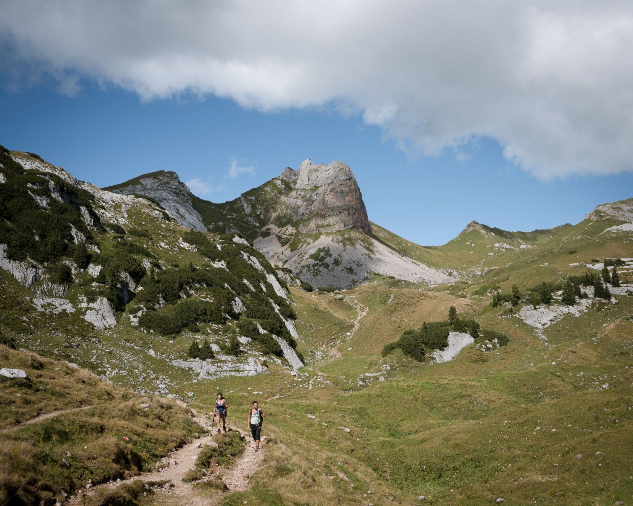
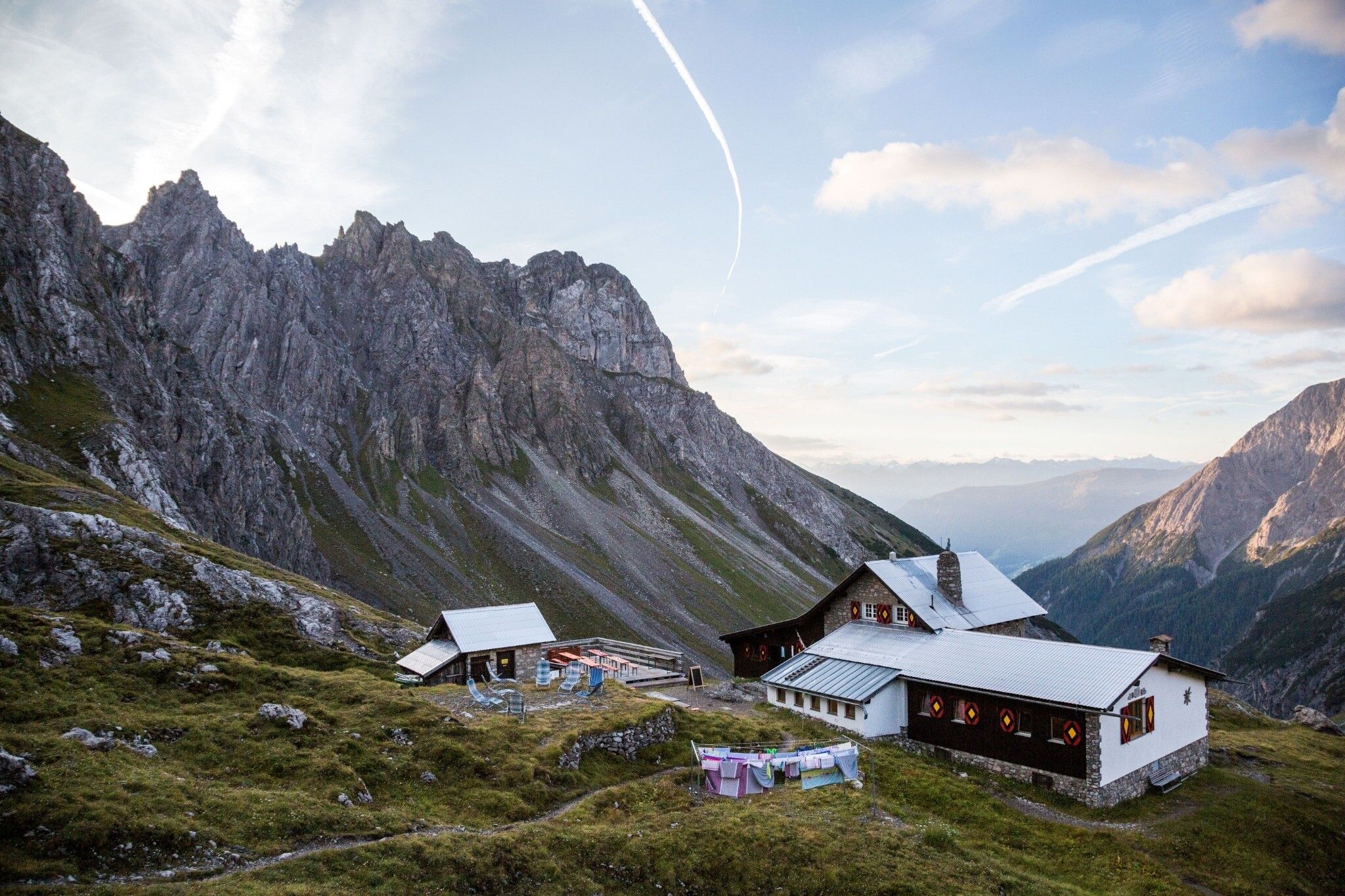
Eagle Walk Stage 01: St. Johann in Tirol - Gaudeamushütte Eagle Walk Stage 02: Gaudeamushütte - Kaindlhütte Eagle Walk Stage 03: Kaindlhütte - Kufstein Eagle Walk Stage 04: Kufstein - Gasthof Buchacker Eagle Walk Stage 05: Gasthof Buchacker - Pinegg Eagle Walk Stage 06: Pinegg - Steinberg am Rofan Eagle Walk Stage 07: Jausenstation Waldhäusl - Erfurter Hütte Eagle Walk Stage 08: Erfurter Hütte - Lamsenjochhütte Eagle Walk Stage 09: Lamsenjoch Hut - Falken Hut Eagle Walk Stage 10: Falken Hut - Karwendelhaus Lodge Eagle Walk Stage 11: Karwendelhaus Lodge - Hallerangerhaus Lodge Eagle Walk Stage 12: Hallerangerhaus - Innsbruck Eagle Walk Stage 13: Innsbruck - Zirbenweg Trail - Innsbruck Eagle Walk Stage 14: Innsbruck - Solsteinhaus Lodge Eagle Walk Stage 15: Solsteinhaus Lodge - Leutasch/Ahrn Eagle Walk Stage 16: Leutasch/Ahrn - Ehrwald Eagle Walk Stage 17: Ehrwald - Lorea Hütte Eagle Walk Stage 18: Lorea Hütte - Anhalter Hütte Eagle Walk Stage 19: Anhalter Hütte - Hanauer Hütte Eagle Walk Stage 20: Hanauer Hütte - Württemberger Haus Eagle Walk Stage 21: Württemberger Haus - Memminger Hütte Eagle Walk Stage 22: Memminger Hütte - Ansbacher Hütte Eagle Walk Stage 23: Ansbacher Hütte - Kaiserjochhaus Eagle Walk Stage 24: Kaiserjochhaus - St. Christoph am Arlberg Eagle Walk Stage O1: Ströden - Johannis Hütte Eagle Walk Stage O2: Johannishütte - Eisseehütte Eagle Walk Stage O3: Eisseehütte - Bonn-Matreier-Hütte Eagle Walk Stage O4: Bonn-Matreier Hütte - Badener Hütte Eagle Walk Stage O5: Badener Hütte - Matreier Tauernhaus Eagle Walk Stage O6: Matrei in Osttirol - Sudetendeutsche Hütte Eagle Walk Stage O7: Sudetendeutsche Hütte - Kalser Tauernhaus Eagle Walk Stage O8: Kalser Tauernhaus - Stüdlhütte Eagle Walk Stage O9: Stüdlhütte - Lucknerhaus


.jpg")


.jpg")


.jpg")

