
Opening hours:Today closed
Place:Alpbach
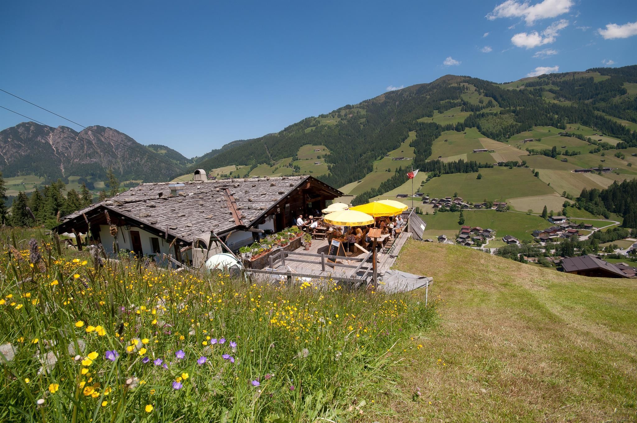
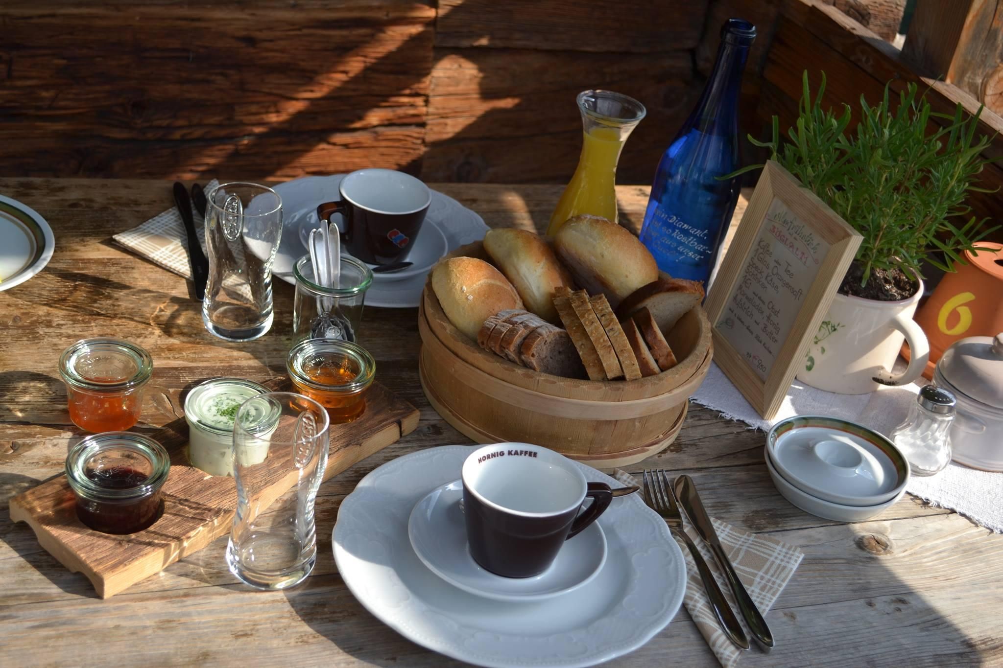
:Alpine pasture / hut / mountain restaurant
Circular hike with great dining experience and the most beautiful view of Inneralpbach
trekking shoes
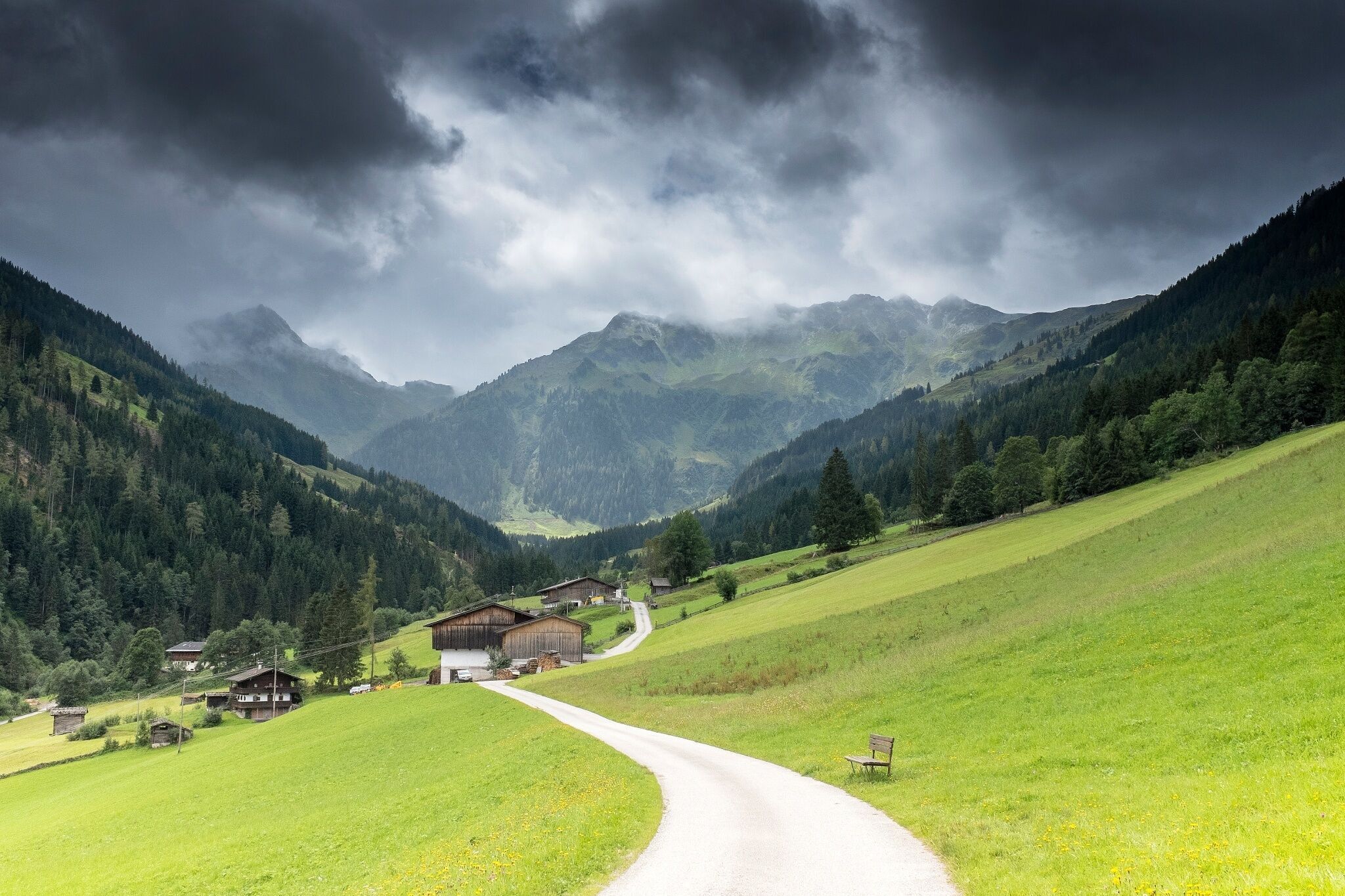
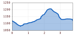
From the parking lot at the former Gasthof Leitner in Inneralpbach (Greiter Graben) walk a short distance downstream to the junction "Zettahof" / Böglalm. Follow the gently ascending path to the end of the asphalt road and continue on the gravel road to the Böglalm.
Return route: From the Böglalm gently ascending upstream approx. 300 m to the next hairpin, straight ahead, then turn left and in the forest quite steep downhill to the "Zettawiese", Zettahof - at the farm continue upstream towards "Greiterhöfe". Behind the farms, after the barrier, go left downhill to the intersection and from here downstream to the starting point.
Note: The outbound path to the Böglalm is stroller-friendly, return on the same route. If you start the route from the Inneralpbach bus stop, pay attention to the signage (right) towards "Zettahöfe"/"Böglalm".
www.vvt.at line 620/stop: Inneralpbach
former Gasthof Leitner/Inneralpbach; paid parking lot (cash and card payment possible!).


")


