
Opening hours:Open today
Place:Vomperbach
:Restaurant
Lost in the Cosmos—A Galactic Space Adventure: An alien has landed on the Planetary Discovery Trail in Terfens. Karwendolin and Karla Wendel need your help to save him.

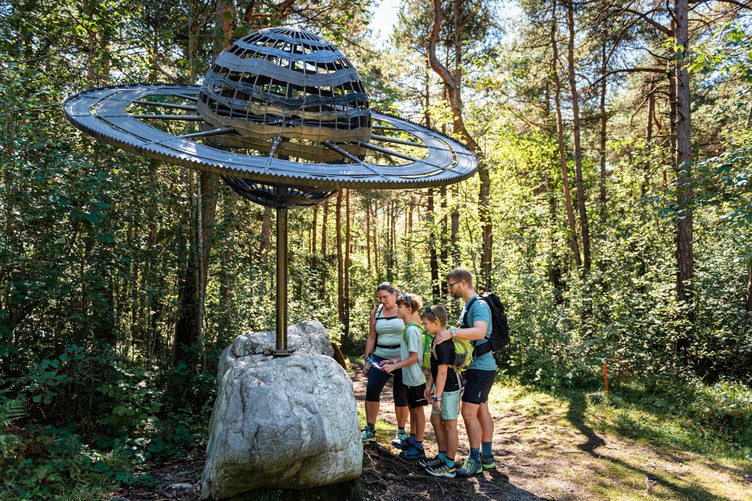
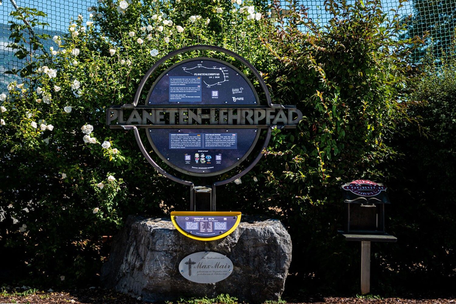
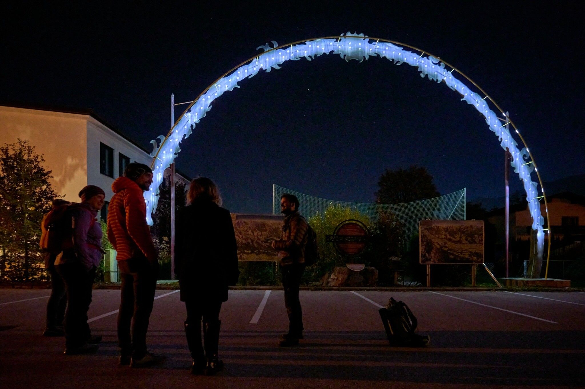
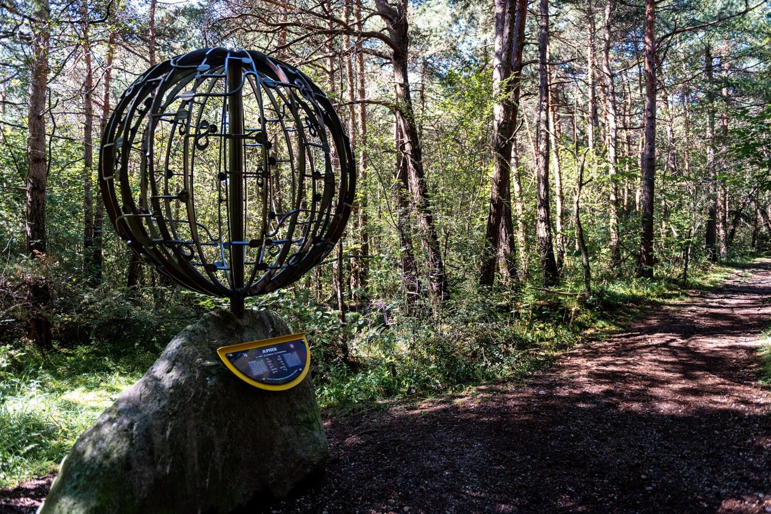
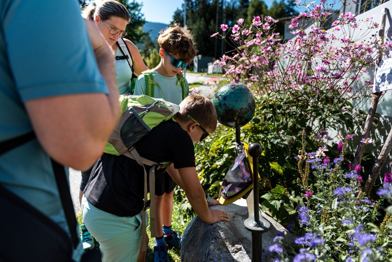
This time, things are getting really wild: A real alien has landed on Earth, right in the middle of the Planetary Discovery Trail in Terfens. Only by teaming up with Karwendolin and Karla Wendel can he be saved. Along the way, you’ll encounter tricky puzzles, funny dialogues, and a mission that spans Earth and space.
Along the way, you’ll learn a lot about our solar system: the planets and their distances from the Sun are depicted to scale, and information boards explain the details.
At a Glance
Start: Terfens-Vomperbach Elementary School (large sun)
Bus Stop: Vomperbach (Terfens) Bypass/Train Station
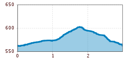
Length: 3 km
Walking Time: approx. 1 hour without audio, approx. 2 hours with the digital adventure
Age: for children ages 8 to 12
Trails: Forest road, wide nature trail, paved road; easily manageable with an all-terrain stroller
Special feature: True-to-scale planets and distances from the Sun
Good to know
Planet map: For the adventure, you’ll need the planet map, available at the Tourismusverband in Schwaz or from the Terfens municipal office.
What to bring: Smartphone, pen or marker, headphones
In any weather: The trees in the forest provide shelter from the rain. Depending on snow conditions, the trail is accessible year-round; in winter, please watch out for snow accumulation on the branches.
Nearby: Weißlahn swimming lake in Terfens
Take the train to Pill-Vomperbach station, then walk for 10 minutes along Stublerwald forest, over the motorway bridge to the starting point.
Plan your route easily using the VVT Smartride app or VVT route planner.
Public transport: Train to Pill/Vomperbach station, 10 min walk to the starting point
Car: A12 Inntal motorway, exit at Vomp – continue to Vomperbach
Short-term parking zones (3 hours) are available at the fire station, the elementary school, and Christuskirche church.


