Mountain hikes Gratlspitze from Alpbach

Alpbach / Kitzbüheler Alpen
Difficulty ratings: medium
Route length: 8.3 km
Duration: 4:30 h

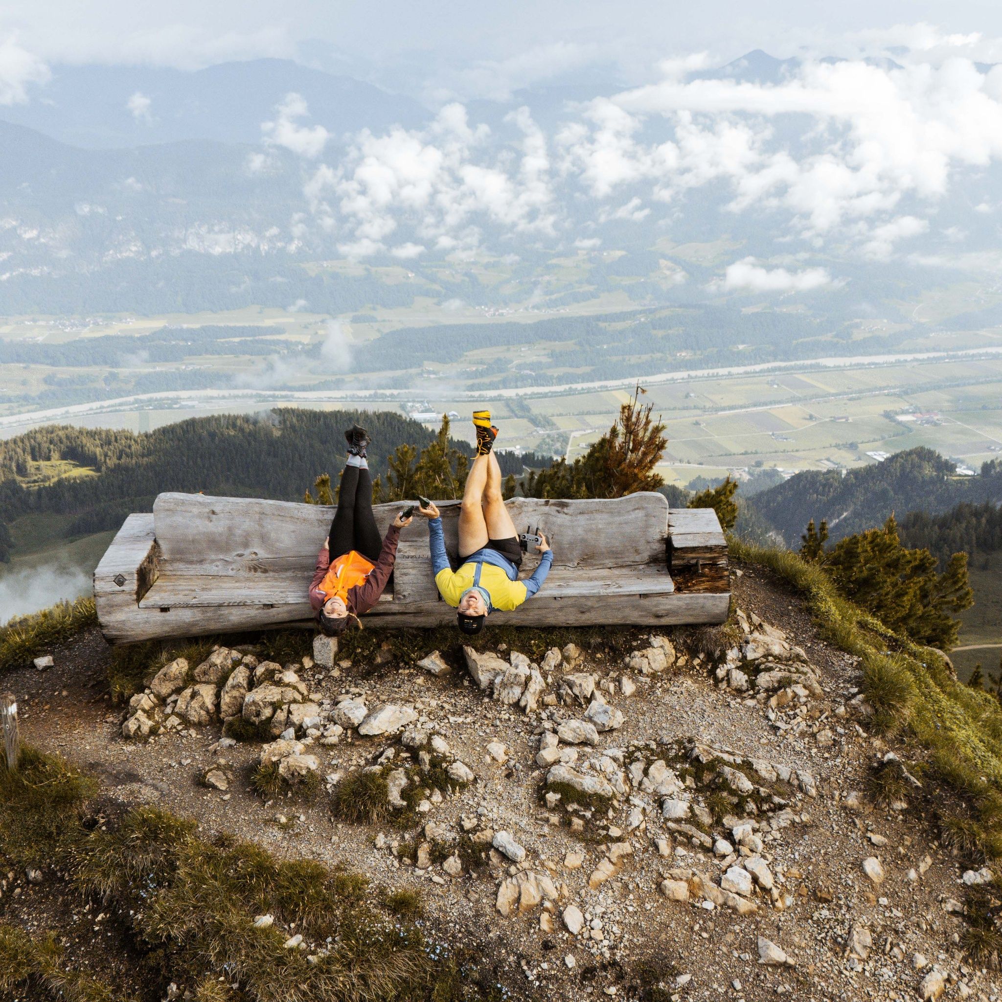
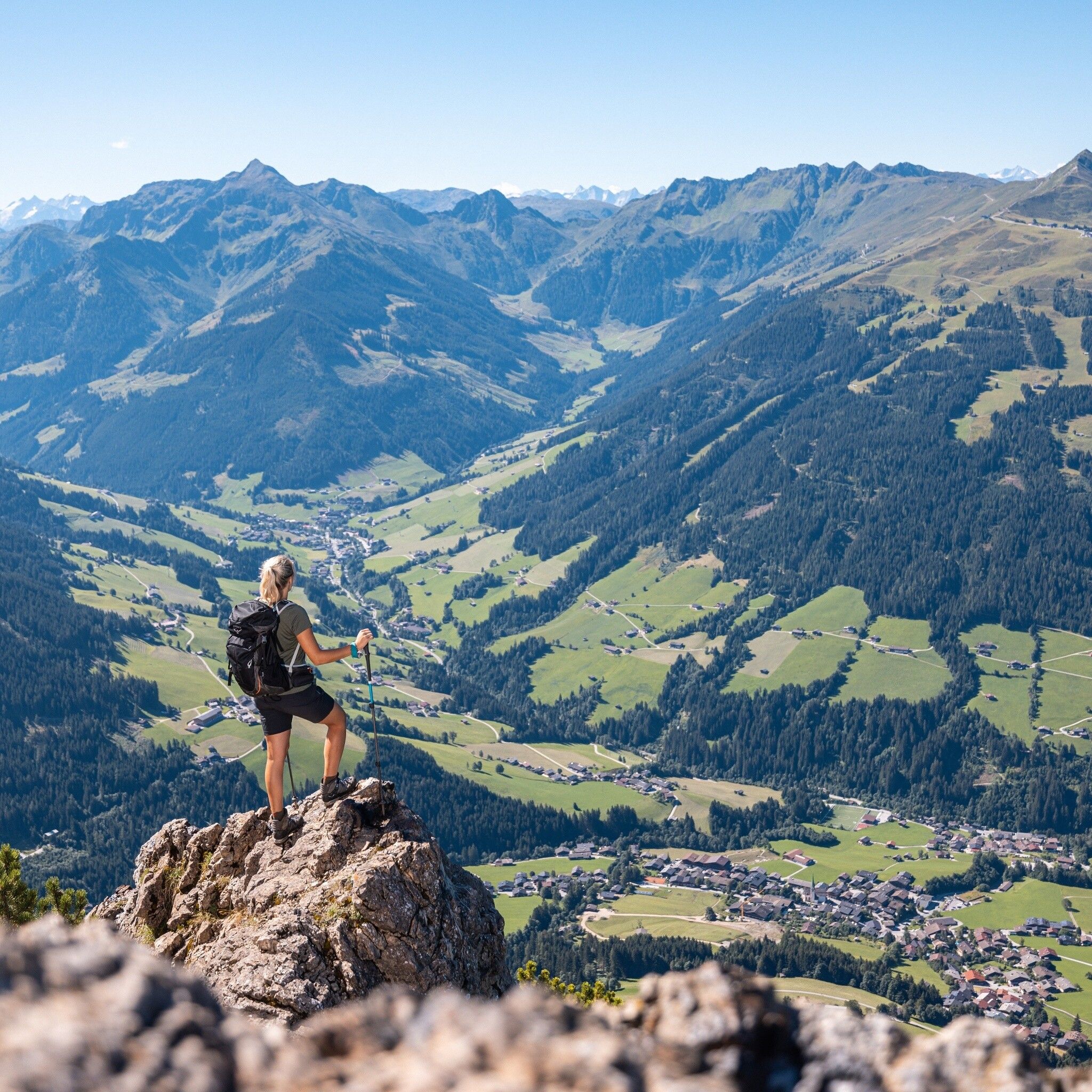
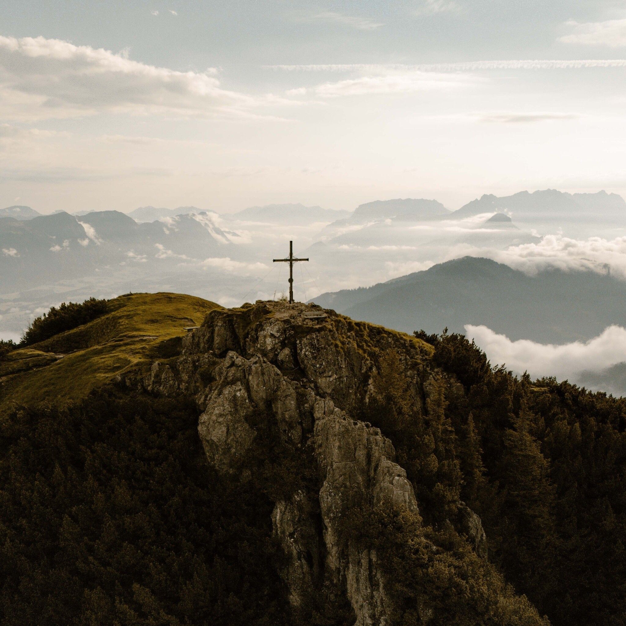
Varied hike to the magnificent viewpoint mountain "Gratlspitz" 1,893 m

Tour information

  • Requirement: medium
  • Length: 8.3 km
  • Duration: 4:30 h
  • Elevation uphill:748 hm
  • Elevation downhill:748 hm
Highest point1,893 m

Starting point

Alpbach parking Oberthalerhof

Finishing point

Alpbach parking Oberthalerhof
  • Fitness level 3 / 6

Best time of year

  • January
  • February
  • March
  • April
  • May
  • June
  • July
  • August
  • September
  • October
  • November
  • December

Equipment

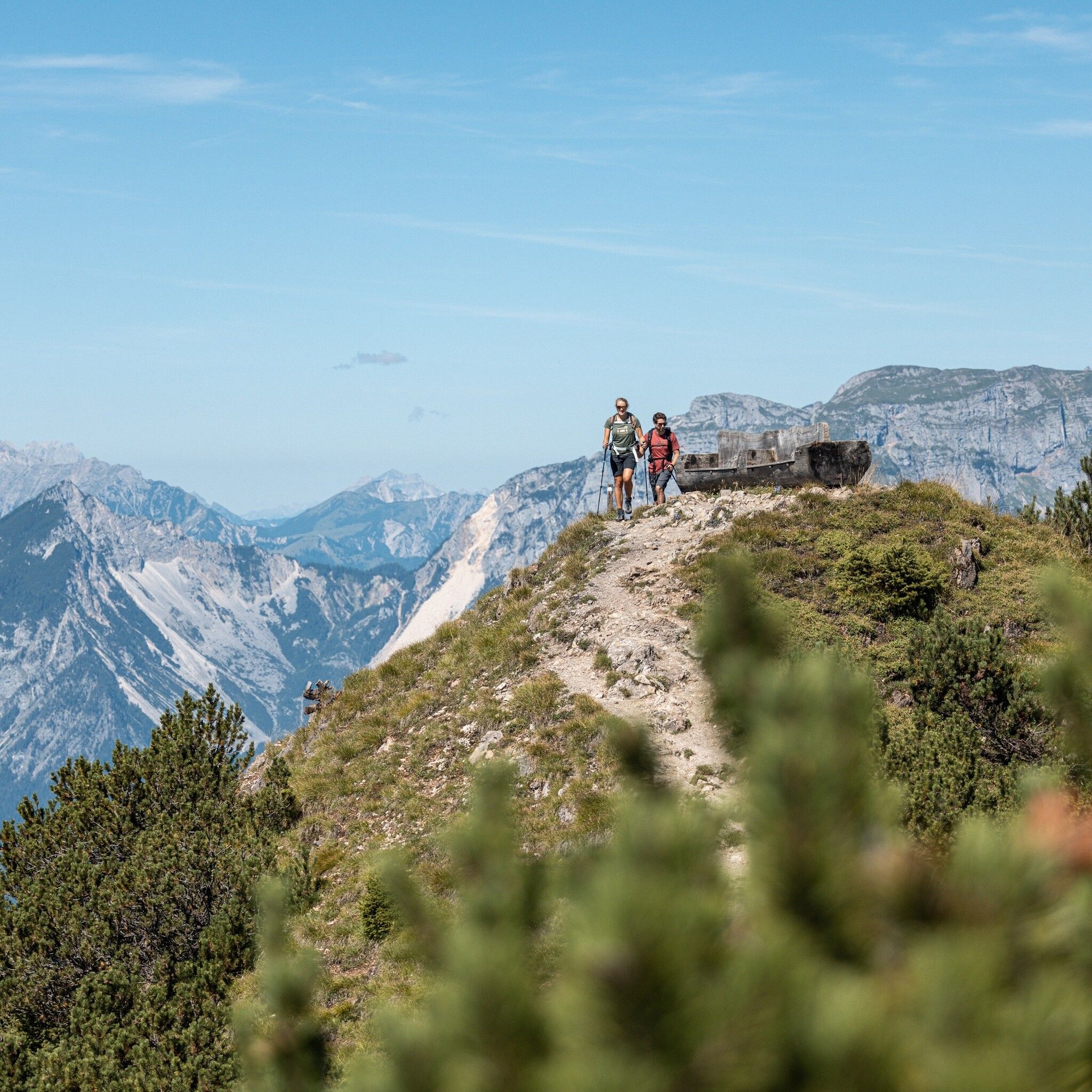
Surefootedness required when descending from Gratlspitze to Hösljoch!

Sturdy shoes and weatherproof clothing

Source: Alpbachtal

Description

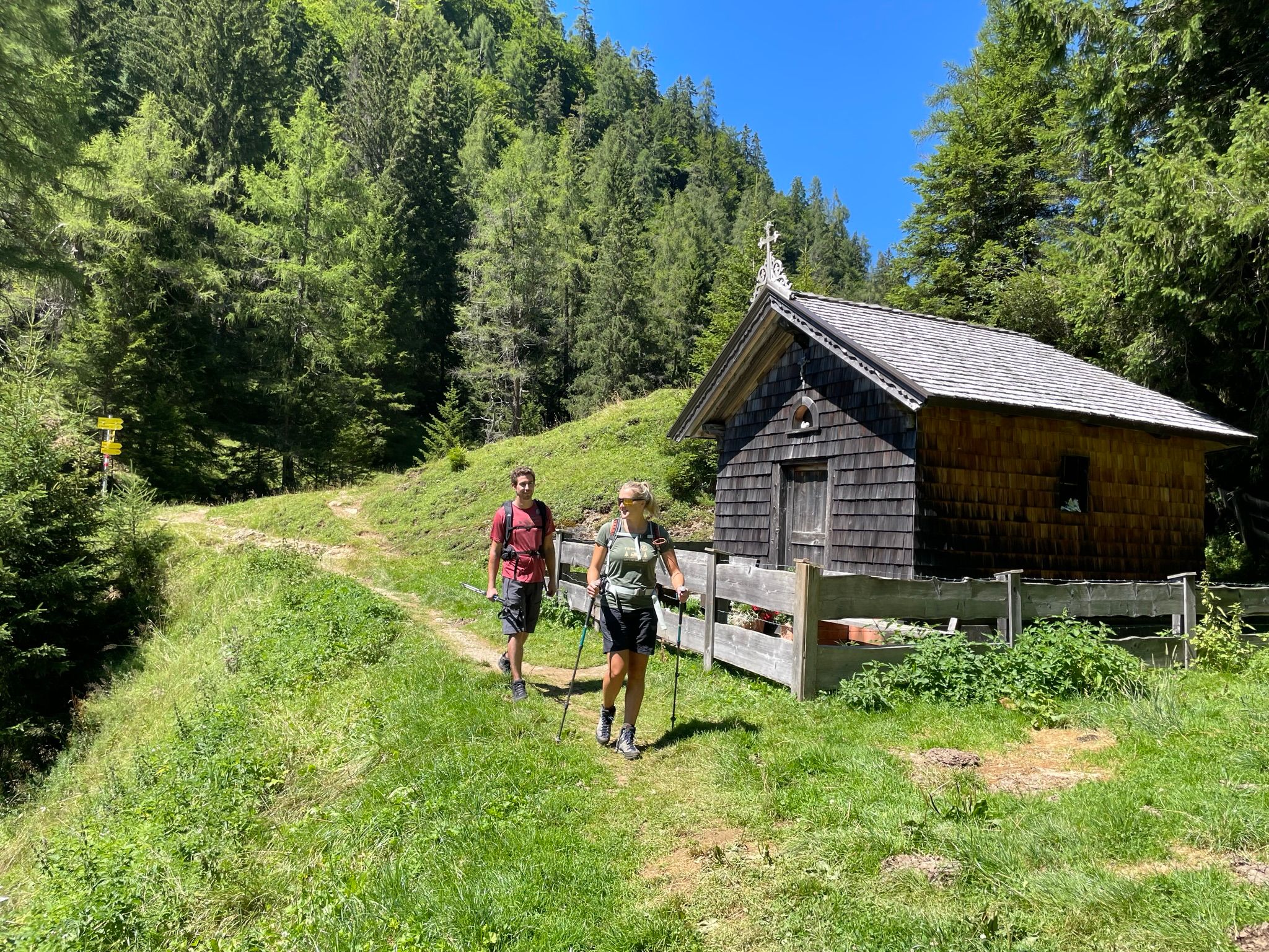
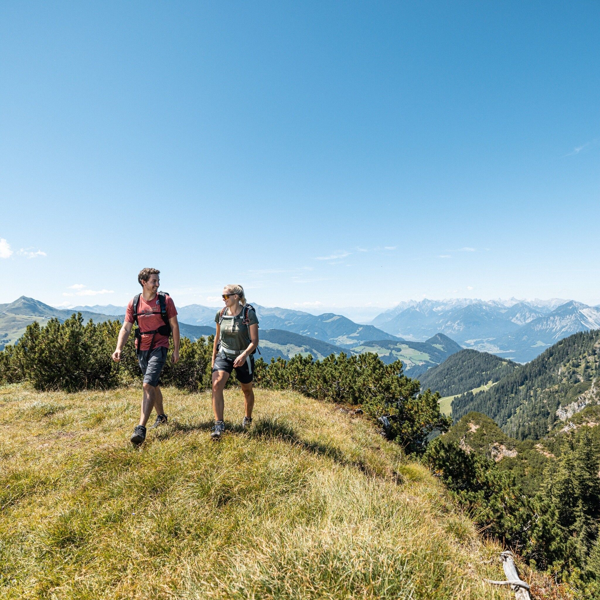
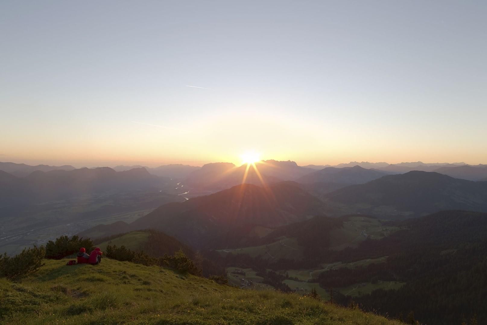
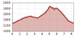
From the parking lot above the Oberthaler snack bar, first along the forestry road and then upwards over alpine meadows to Höslkapelle and Hösllacke (30 min). Pass right by the pond and follow the sign "Kupfersteig/Kaiserbründl" towards "Holzalm." The trail gently ascends through the forest passing an ore quarry* to the mountain inn Holzalm (50 min). Above the inn keep left and briskly ascend to Gratlspitze (1 h 15 min). Enjoy the magnificent panoramic view from the summit! For the descent follow the sign "Hösljoch", i.e. below the summit choose the path south/east and partly over ridges going up and down repeatedly (caution: surefootedness required) until "Halsbergalm", past it to the already known Hösllacke (1 h 30 min), from here return along the known path to the car (30 min).

*Information about Kupfersteig/Kaiserbründl: Copper ores have been mined and processed in the vicinity since ancient times. Finds prove the first settlement 6,300 years ago, and copper extraction from these deposits about 3,500 years ago. Scattered finds near Kaiserbründl around Gratlspitze point to this prehistoric ore mining in this area. A property directory from 1416 names the Thierberg (old name of Gratlspitz) as a copper ore supplier at the end of the Middle Ages. Numerous tunnels and shafts were created to extract the sought ores. Since prehistoric times, the silver contained in the ore here was also of interest to make coins. The adit visible on this plateau below Kaiserbründl is the entrance of the upper main tunnel, from which extraction took place using a mine cart. Lower-lying tunnels, recognizable by their large spoil heaps, are the lower main tunnel and the Peter tunnel. Mining operations ceased around the mid-19th century. The large stone visible here next to Kaiserbründl is a so-called sorting stone, where ore was crushed and separated from worthless rock.


Nearby huts and mountain restaurants

Getting here

  • Arrival by public transport

    not possible

  • Parking

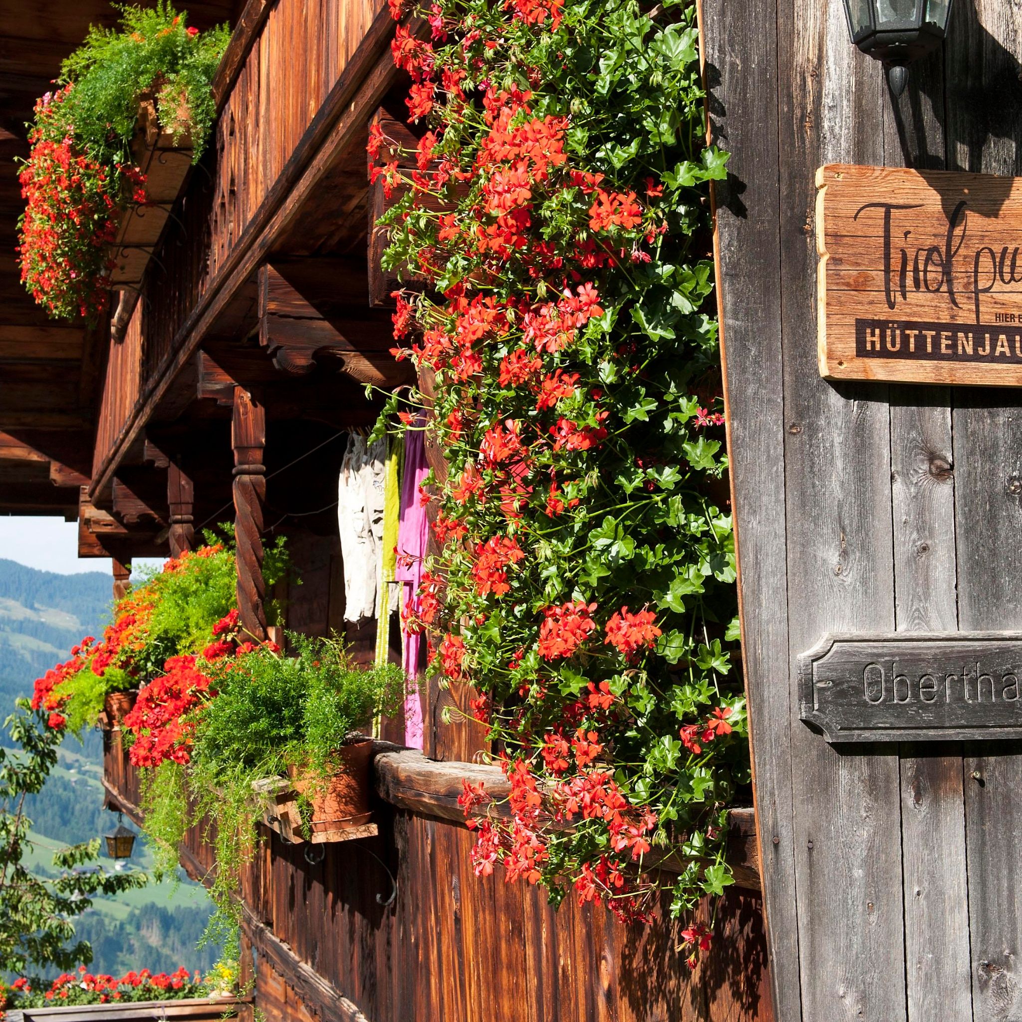
    Parking above Oberthaler snack station

More tours in the surrounding area

  • 3-day Family Tour Alpbachtal

    Difficulty: easy
    Length: 18.3 km Duration: 7:00 h Elevation uphill: 998 m
  • Voldöpper Spitze Loop Hike

    Difficulty: medium
    Length: 12.9 km Duration: 5:00 h Elevation uphill: 988 m
  • Farmkehralm 1.521 m

    Difficulty: medium
    Length: 9.3 km Duration: 3:30 h Elevation uphill: 506 m
  • Wiedersberger Horn Panorama Path

    Difficulty: easy
    Length: 4.1 km Duration: 1:30 h Elevation uphill: 195 m
  • Barrier-free path Lake Reintal

    Difficulty: easy
    Length: 6.5 km Duration: 1:45 h Elevation uphill: 15 m
  • Day 1: 4 days - 4 summits tour

    Difficulty: medium
    Length: 9.8 km Duration: 5:00 h Elevation uphill: 984 m
  • 3-peak-tour Kienberg-Plessenberg-Heuberg

    Difficulty: medium
    Length: 8.6 km Duration: 4:30 h Elevation uphill: 779 m
  • Discovering the Tiefenbach Gorge Hike

    Opening hours: closed
    Difficulty: medium
    Length: 5.7 km Duration: 3:30 h Elevation uphill: 669 m
  • Loop tour Juppi Zauberwald

    Difficulty: easy
    Length: 2.5 km Duration: 1:00 h Elevation uphill: 93 m
  • Kundler Klamm

    Opening hours: closed
    Difficulty: easy
    Length: 6.4 km Duration: 2:00 h Elevation uphill: 116 m
  • Kaiser Gorge - loop trail

    Opening hours: closed
    Difficulty: easy
    Length: 4.2 km Duration: 1:00 h Elevation uphill: 198 m
  • Day 3: 4 days - 4 summits tour

    Difficulty: medium
    Length: 19.3 km Duration: 8:00 h Elevation uphill: 1,371 m
  • 4 days - 4 summits tour

    Difficulty: medium
    Length: 54.4 km Duration: 23:00 h Elevation uphill: 3,408 m
Newsletter

The mountain is calling? So does our newsletter!

In our monthly newsletter we reveal the best holiday tips for Tyrol.