
Place:
Sölden
:
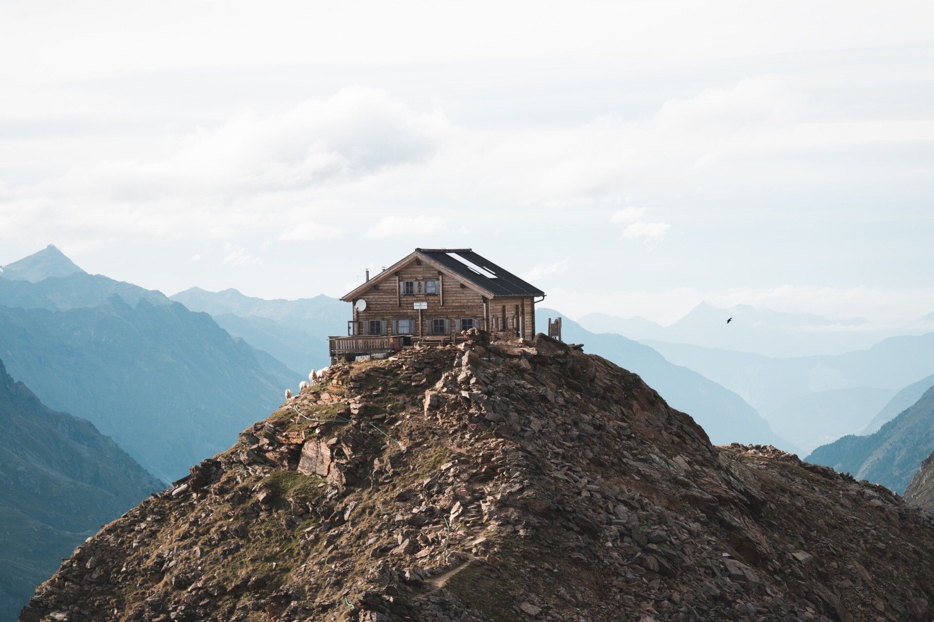
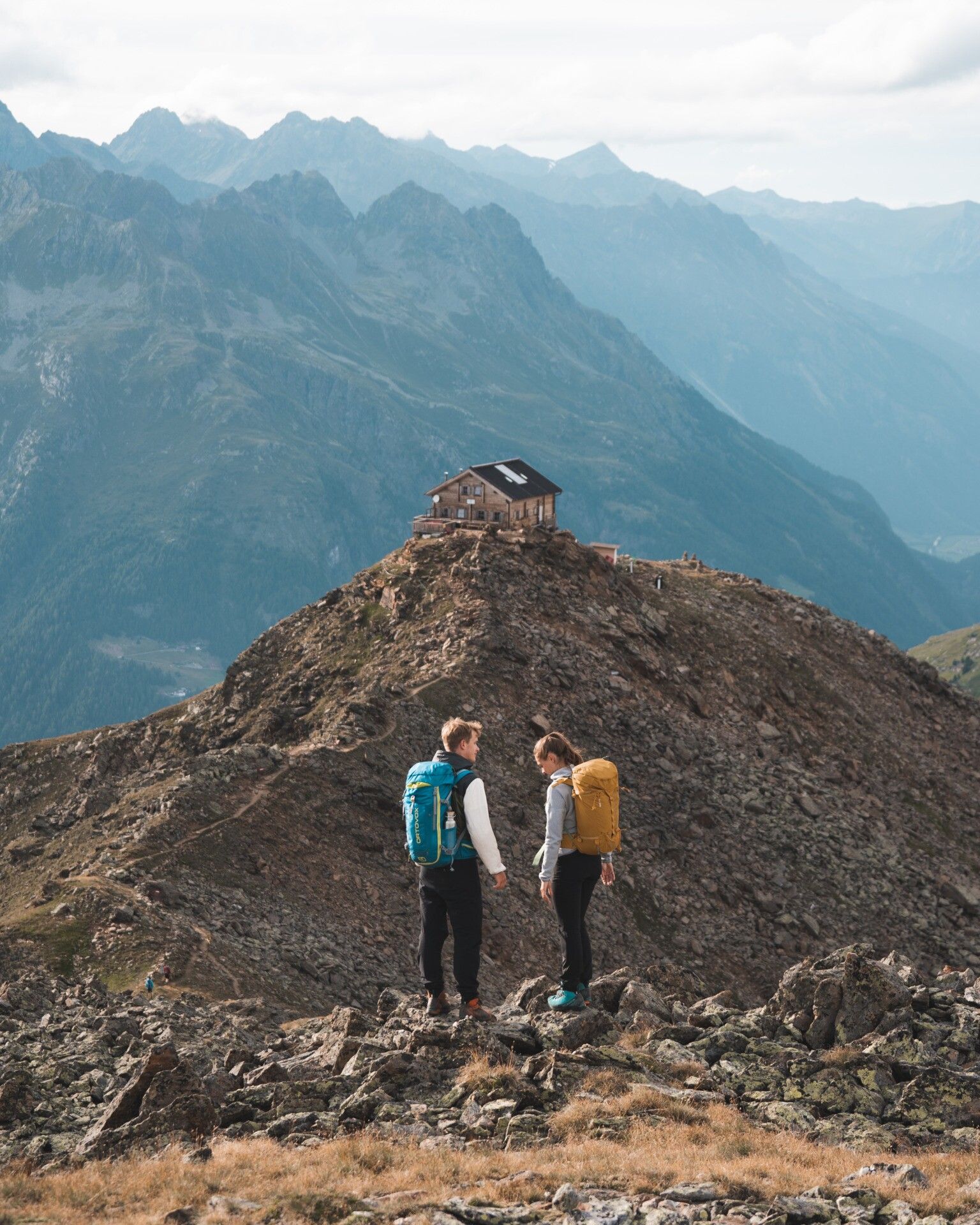
Alpine pasture / hut / mountain restaurant
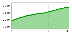
Bike Tour: Sölden - Brunnenbergalm Hike Tour: Brunnenbergalm - Brunnenkogelhaus Total duration: 6h
The corresponding signs are kept in yellow base colour and have a red circle as an indication of difficulty.
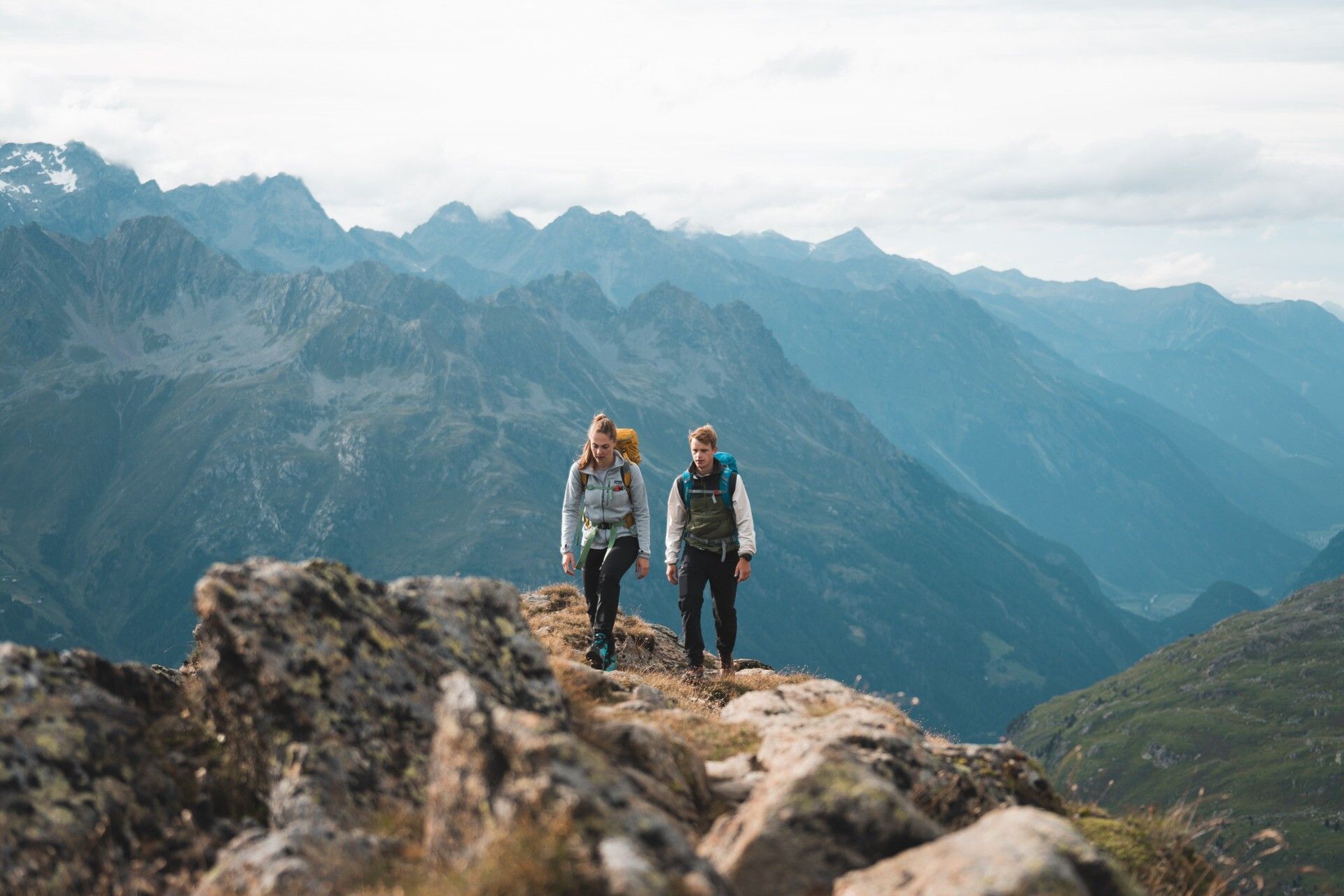
Appropriate equipment such as breathable outdoor clothing suitable for the weather, ankle-high hiking boots, wind, rain and sun protection, hat, possibly gloves, is recommended for all hikes and tours.Start Gaislachkogel gondola -> with the bike in the direction of Platte until Moosalm, further over a wide forest path to the Brunnenbergalm. From the Alm you follow the steep hiking path -> above the forest line you walk along the serpentines to the Brunnenkogelhaus
Enjoy a both comfortable and relaxing train ride to the train station in Ötztal Bahnhof. You get off the train in ÖTZTAL Bahnhof where you change to a public bus or local taxi. The current bus schedule can be found at: http://fahrplan.vvt.at
Parking place at the Gaislachkogel gondola or in Moos


