
Mountain hikes Hochfilzen - Römersattel - Vorderkaser

Hochfilzen / Lofer Stone Mountains
Difficulty ratings: medium
Route length: 12.8 km
Duration: 4:00 h

Hochfilzen - Römersattel - Vorderkaser

Tour information

  • Requirement: medium
  • Length: 12.8 km
  • Duration: 4:00 h
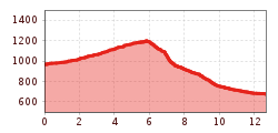
  • Elevation uphill:250 hm
  • Elevation downhill:540 hm
Highest point1,202 m

Starting point

Village center Hochfilzen

Finishing point

Vorderkaser / St. Martin bei Lofer
  • Fitness level 2 / 6
  • Technique 2 / 6

Best time of year

  • January
  • February
  • March
  • April
  • May
  • June
  • July
  • August
  • September
  • October
  • November
  • December

Trail condition

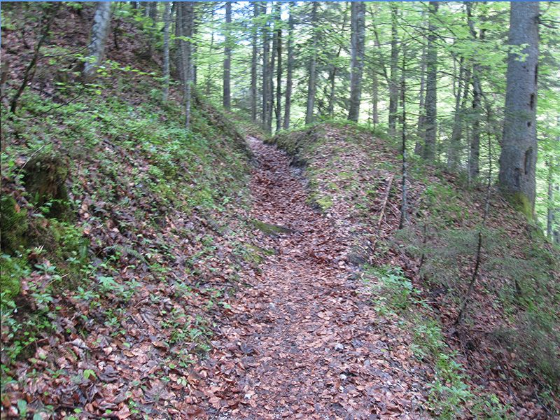
Asphalt, gravel, meadow

Equipment

Breathable outdoor clothing, sturdy shoes, food (snack, drinks), sun protection (sunglasses, sun cream & cap), rain protection, cash; guest card if bus is used (bus ticket from Vorderkaster to Hochfilzen not included in your guest card).
Source: Kitzbüheler Alpen Management GmbH

Description

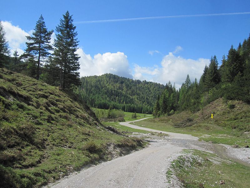
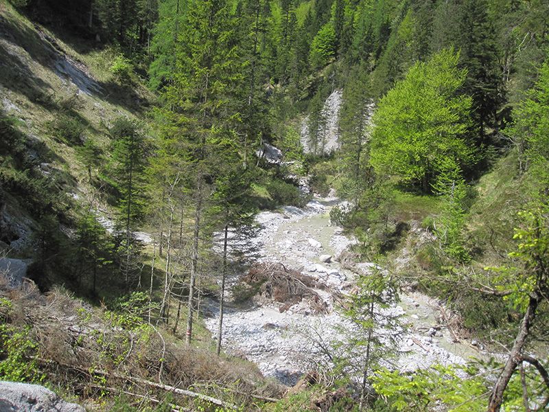
This walk leads you via the Römersattel on the old pilgrim trail into the Pinzgau. Start in the center of Hochfilzen, walk in direction of the Troop Practice Range (TÜPL) and pass the Biathlon-stadium in direction of the Römersattel (1202m) to the Vorderkaserklamm.

This path leads through military zone. Please refer to the signs next to the path.

Information phone: 

Mon–Fri: +43 664 6226422 | Weekend information phone: +43 664 6226421


Back you can take the public bus from St. Martin via Saalfelden to Hochfilzen

Getting here

  • Arrival by public transport

    By bus: Bus connection from Ellmau / Kitzbühel / St. Johann i.T. / Lofer and within the PillerseeTal region. Bus stop Hochfilzen Gemeindeamt. Walking time to the Kulturhaus 5 min. Bus free of charge with guest card.
    By train: free train connection from Wörgl to Hochfilzen (regional trains) with guest card. Train station Hochfilzen. Walking time from station to Kulturhaus 10 min.

  • Parking

    Hochfilzen Raiffeisenkasse car park or Kulturhaus.

Weather

Today

clear sky
23°C/8°C
0%0l5 km/h

Wed

light rain showers
23°C/10°C
90%27l5 km/h

Thu

light rain
16°C/9°C
80%5.3l5 km/h
Go to weather forecast

More tours in the surrounding area

  • The Wiegalm

    Difficulty:medium
    Length:10.5 kmDuration:4:45 hElevation uphill:680 m
  • Eifersbacher Wasserfall

    Difficulty:medium
    Length:5.9 kmDuration:2:30 hElevation uphill:241 m
  • Koasa Trail Stage 3

    Difficulty:medium
    Length:19.9 kmDuration:7:10 hElevation uphill:730 m
  • Koasa Trail Stage 5

    Difficulty:medium
    Length:14.0 kmDuration:6:45 hElevation uphill:935 m
  • Kaiserkrone - stage 5

    Difficulty:medium
    Length:10.8 kmDuration:5:15 hElevation uphill:840 m
  • Kaiserkrone - stage 4

    Difficulty:medium
    Length:16.1 kmDuration:6:30 hElevation uphill:640 m
  • Koasa Trail Stage 1

    Difficulty:medium
    Length:16.9 kmDuration:6:45 hElevation uphill:937 m
  • Koasa Trail Stage 4

    Difficulty:medium
    Length:20.6 kmDuration:7:35 hElevation uphill:923 m
  • Koasa Trail Stage 2

    Difficulty:medium
    Length:11.8 kmDuration:7:15 hElevation uphill:1,078 m
  • Alpine Outdoor Gallery

    Difficulty:easy
    Length:6.7 kmDuration:2:00 hElevation uphill:117 m
  • Brechhorn

    Difficulty:medium
    Length:11.8 kmDuration:5:00 hElevation uphill:600 m
  • KAT WALK FAMILY

    Difficulty:medium
    Length:52.5 kmElevation uphill:3,390 m
  • 2nd stage KAT Walk Alpine

    Difficulty:medium
    Length:18.0 kmDuration:8:00 hElevation uphill:1,140 m
  • KAT WALK COMPACT

    Difficulty:medium
    Length:83.0 kmDuration:36:45 hElevation uphill:5,462 m
Newsletter

The mountain is calling? So does our newsletter!

In our monthly newsletter we reveal the best holiday tips for Tyrol.
