
Place:
Sölden
:
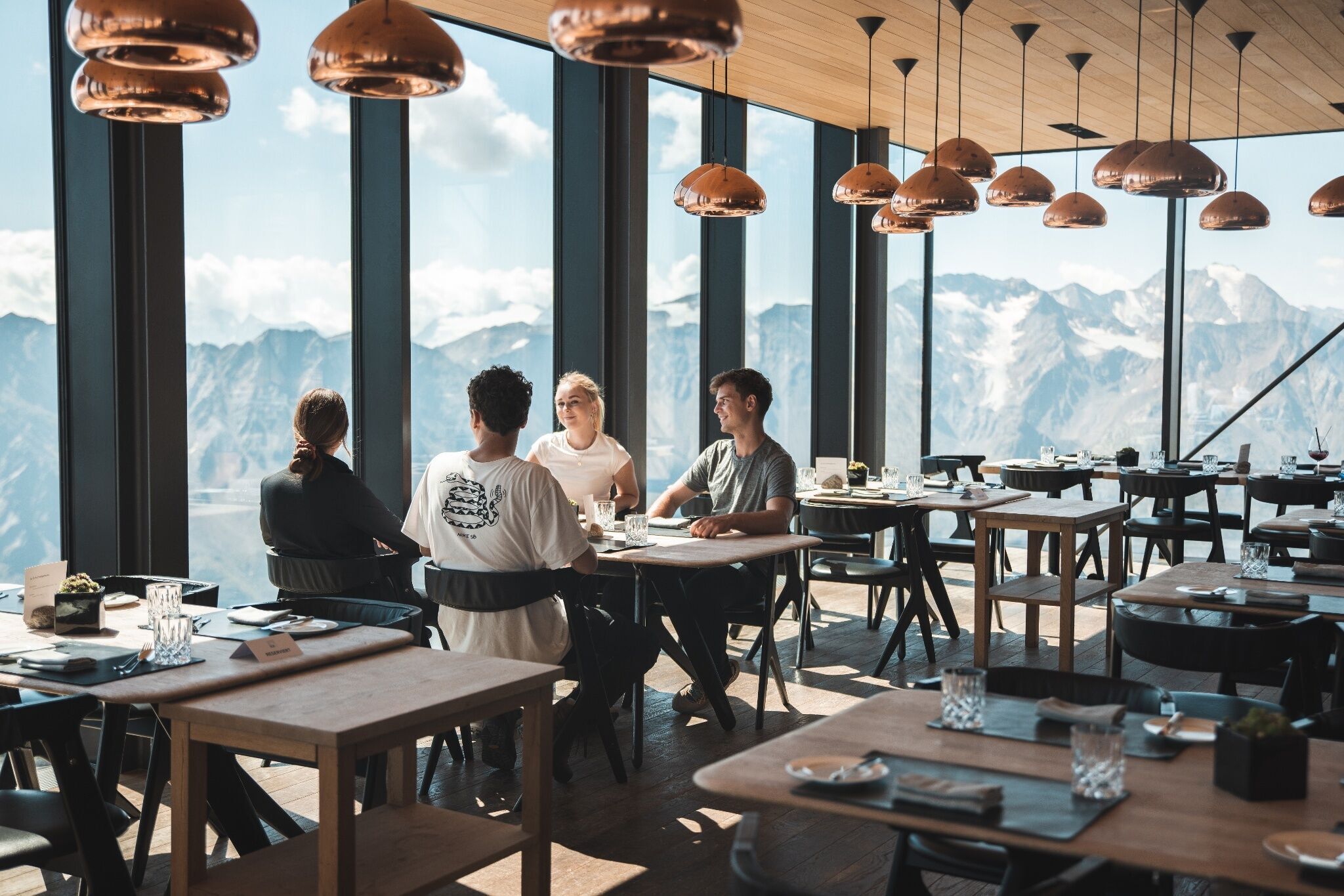
Restaurant
Uphill ride with the Gaislachkogl mountain gondola to the middle station Hike: Gaislachkogl middle station - Gaislachkogl top station
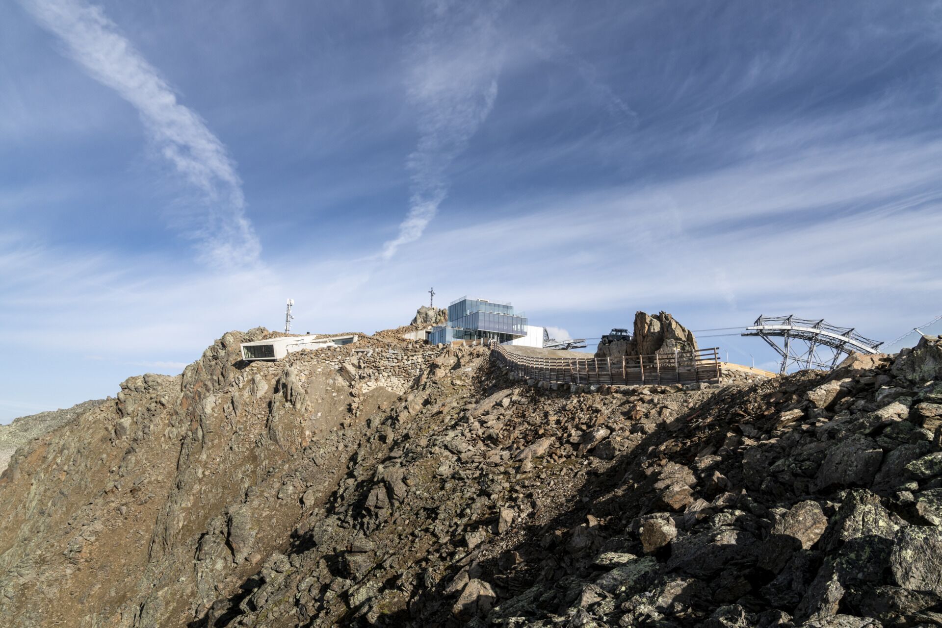
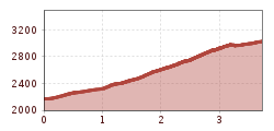
Ascent with Gaislachkogl mountain gondola to midway station (2,174 m) - ascent to Gaislachkogl summit (3,058 m) - downhill ride with Gaislachkogl mountain gondola
Travel safe and comfortable with the train to the Ötztal Bahnhof train station. Last stop and exit point is the train station Ötztal Bahnhof. Afterwards you can travel smoothly and quick with the public transport or our local taxi companies through the valley to your desired destination. Please find the current bus timetable here: http://fahrplan.vvt.at
The following parking facilities are available in Sölden:
- Gaislachkoglbahn + underground garage
All parking is free during the day.
Parking for several days (eg hike tour):
- Postplatz, Parkticket available at the information Sölden
- Parkgarage Gaislachkoglbahn, Parkticket either online or directly at the cash desk of the Gaislachkoglbahn


