Arrival by public transport
Line 210, 220, 273, Bus stop Prutz Innbrücke
Short hike to Ladis
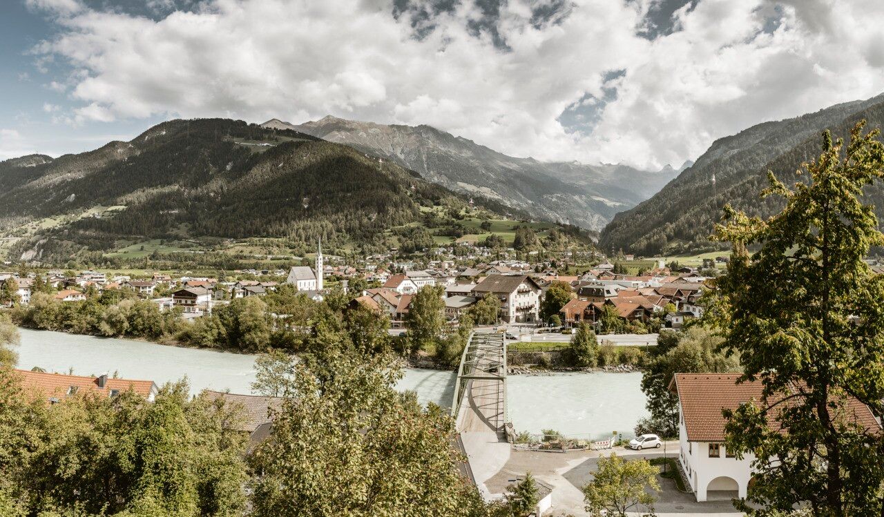
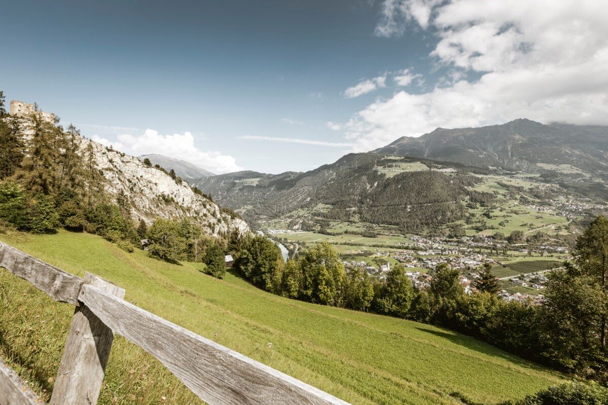
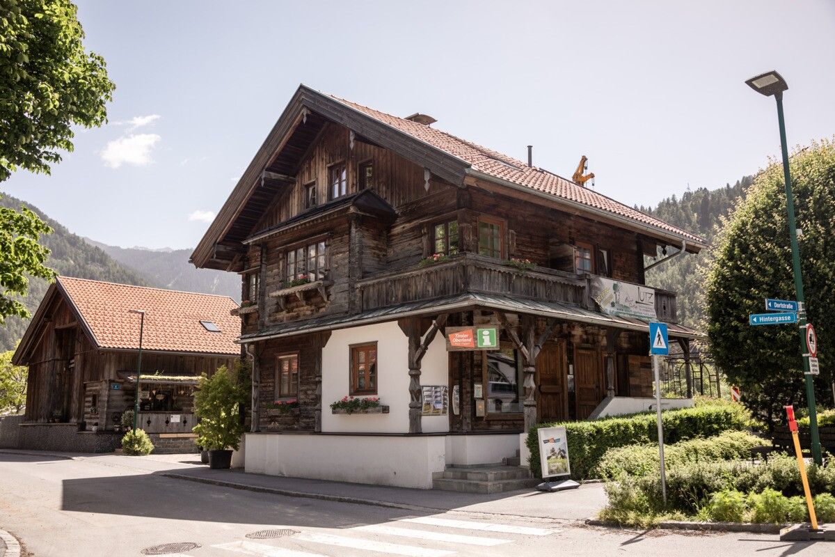
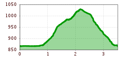
This pleasant circular hike starts at the tourist information office in Prutz. From the roundabout, cross the bridge and follow the signposted path that climbs steeply to the left between the houses. Above the pizzeria “Felsenburg,” turn right onto a forest road and continue along the hiking trail, which runs to the left of the meadows until it reaches the Waalweg trail.From there, turn right and continue along the path above the meadows until you reach the turnoff to the Asterhöfe. The route then leads back to Entbruck. Along the way, there is also the option to hike up to Ladis via the Panzerhöfe.
Line 210, 220, 273, Bus stop Prutz Innbrücke
.jpg")
.jpg")
.jpg")

.jpg")
.jpg")
.jpg")
.jpg")
.jpg")
.jpg")

.jpg")
.jpg")

.jpg")
")
