
Opening hours:Open today
Place:
Sölden
:
Alpine pasture / hut / mountain restaurant
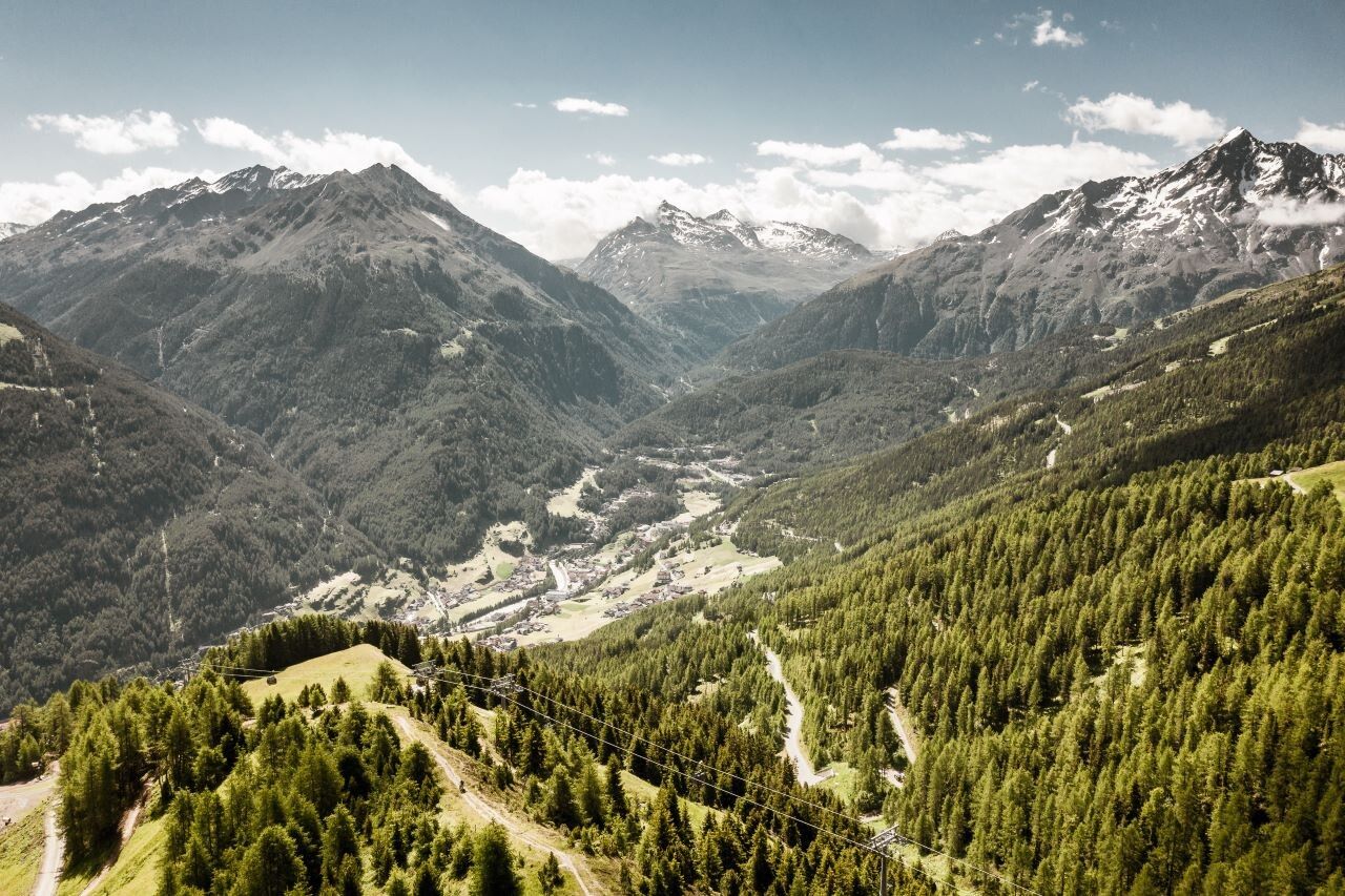
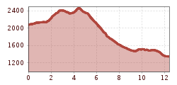
HOCHSÖLDEN --> PEERLERSEE --> GRANSTEIN --> SÖLDEN
Suitable for sure-footed and experienced hikers. Good physical condition, mountain experience & mountain equipment (see notice equipment) necessary.
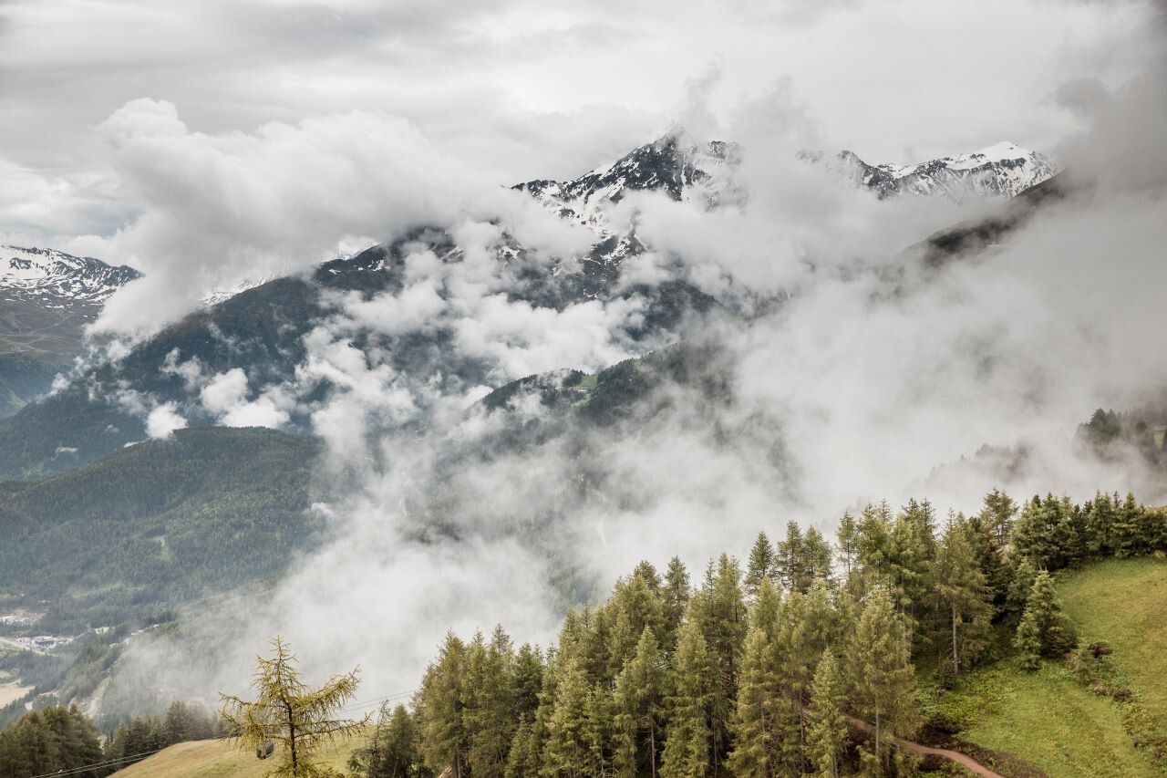
Please pay attention to the current weather report.
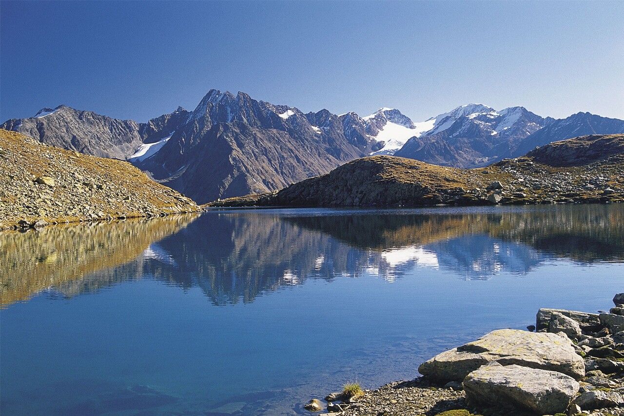
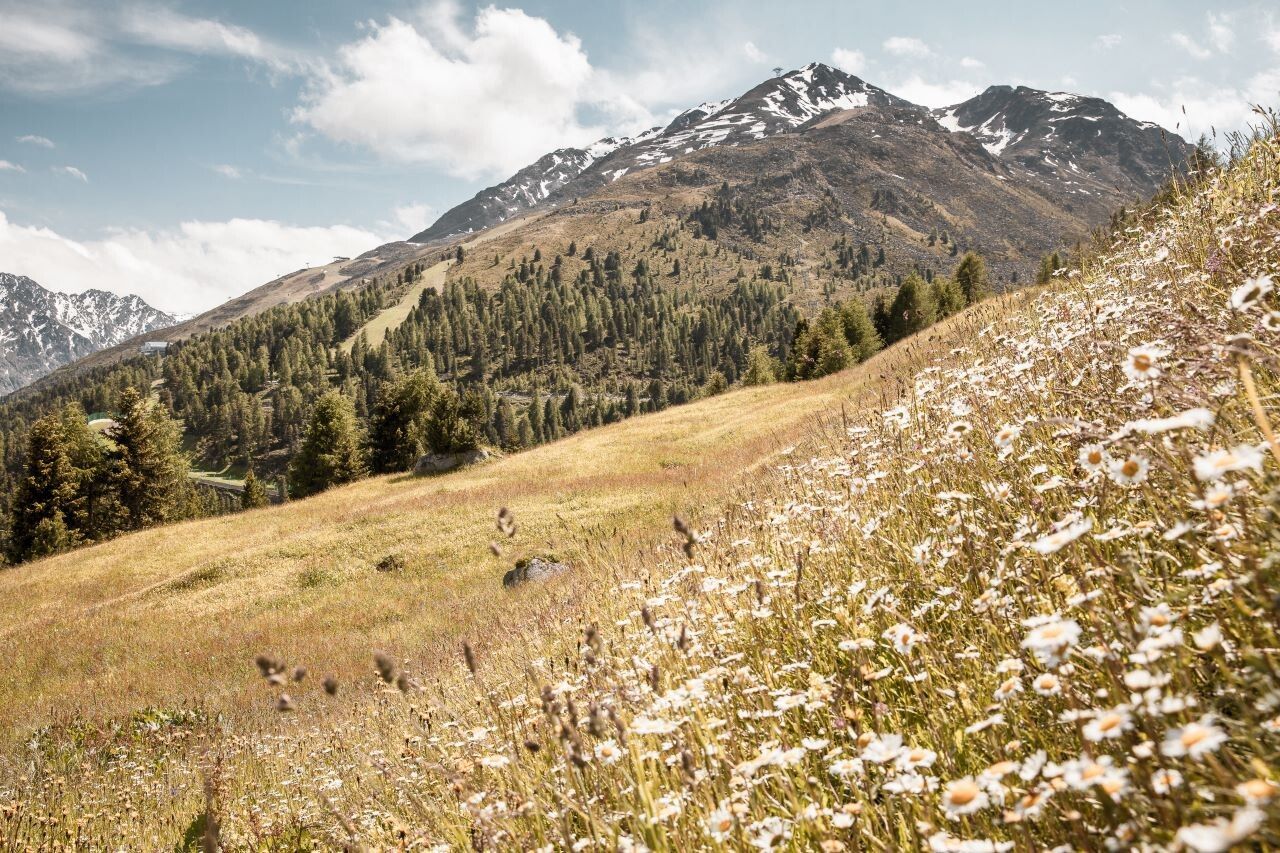
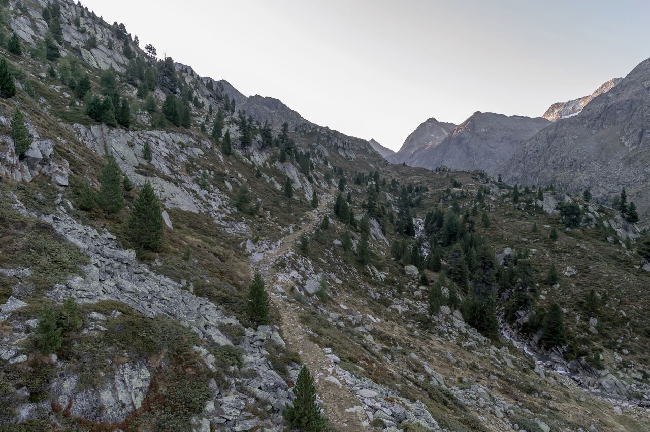
It is recommended to wear hiking equipment such as breathable and weather-adapted outdoor clothing, ankle-high mountain boots, wind, rain and sun protection, cap and possibly gloves. It is also important to have enough food, as well as a first-aid package, a cell phone and a hiking map.From Hochsölden, the demanding Dr. Bachmann Trail leads over steep, alpine terrain to the idyllic Peerlersee. Along the ascent, you’ll be rewarded with breathtaking panoramic views of Sölden and the striking Nederkogl peak in the background.
The hike is accompanied by the distinctive whistling of marmots, which are commonly found in this high-alpine environment. The untouched nature and tranquil surroundings make this trail a truly memorable experience – a place that's easy to fall in love with.
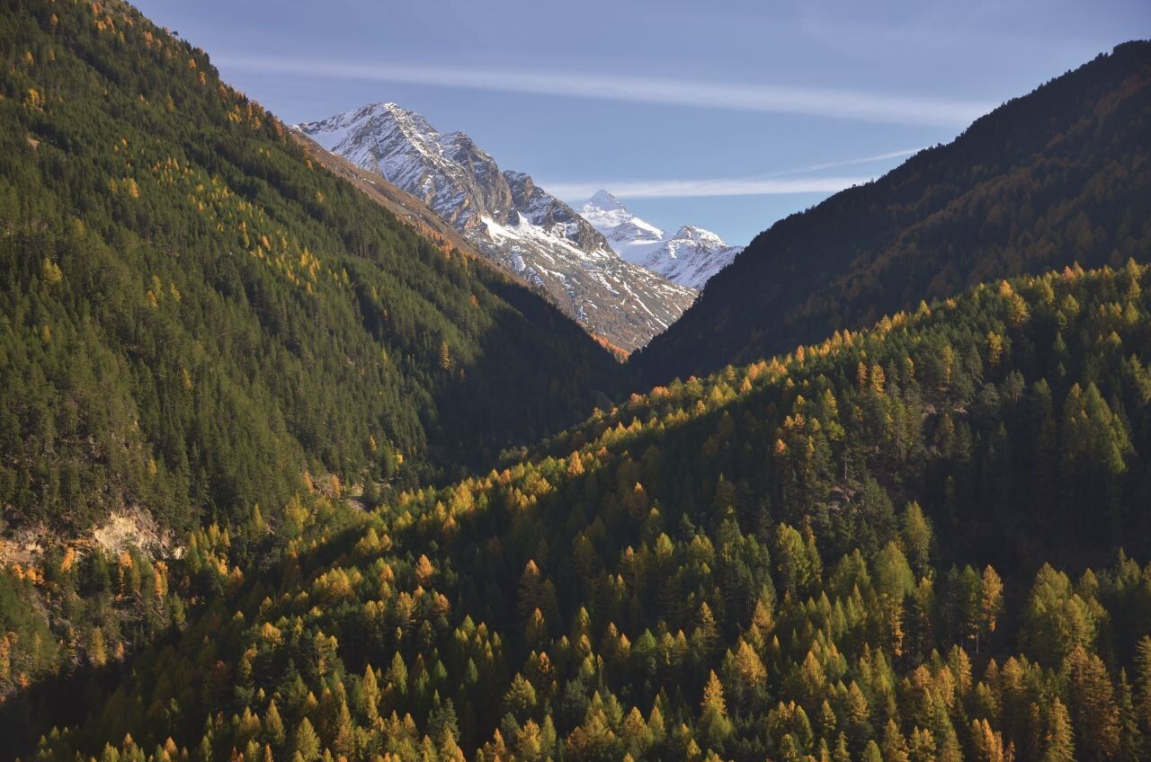
The descent leads across gentle alpine meadows to the small hamlet of Granstein, before continuing down into the valley and back to Sölden.
Travel safe and comfortable with the train to the Ötztal Bahnhof train station. Last stop and exit point is the train station Ötztal Bahnhof. Afterwards you can travel smoothly and quick with the public transport or our local taxi companies through the valley to your desired destination. Please find the current bus timetable here: http://fahrplan.vvt.at
The following parking facilities are available in Sölden:
All parking is free during the day.
Parking for several days (eg hike tour):


