
Opening hours:Open today
Place:Scheffau am Wilden Kaiser
:Alpine pasture / hut / mountain restaurant
Family roundtrip through the Rebachklamm to the Seilabodenkreuz, via the Kaiseralm and the Jägerwirt back to the center of Scheffau.
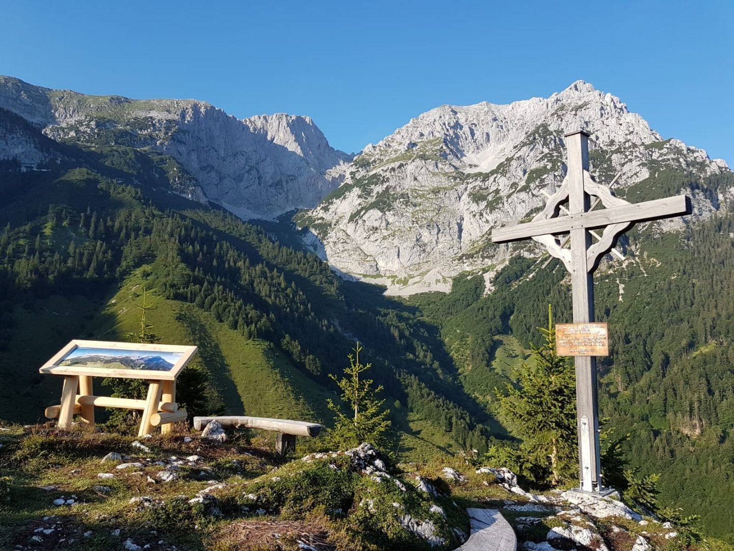
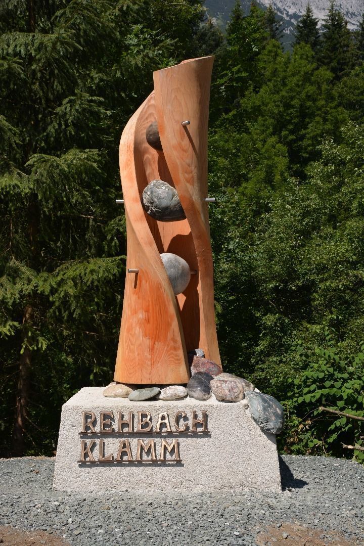
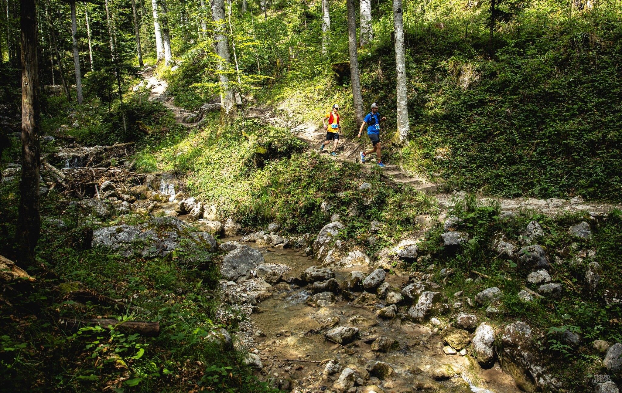
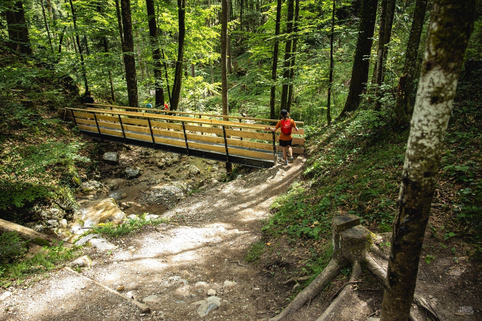
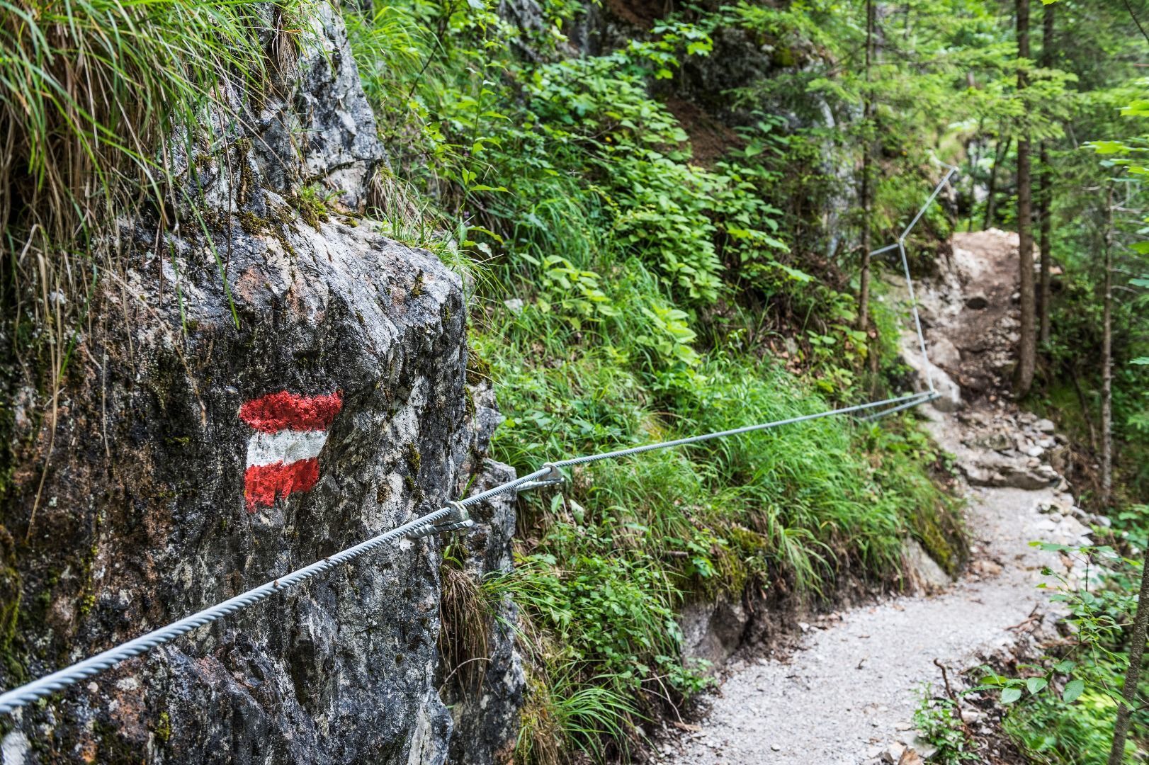
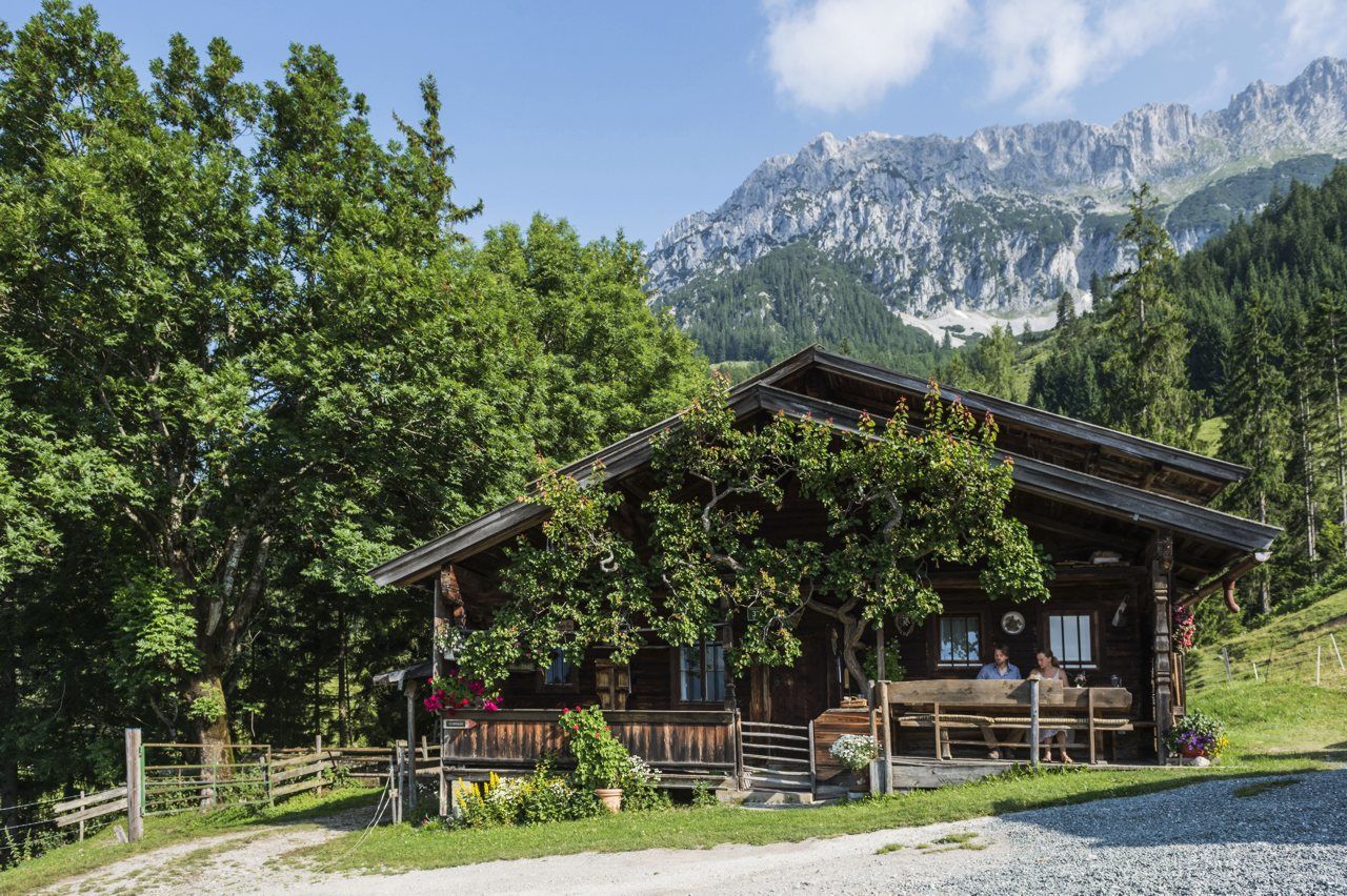
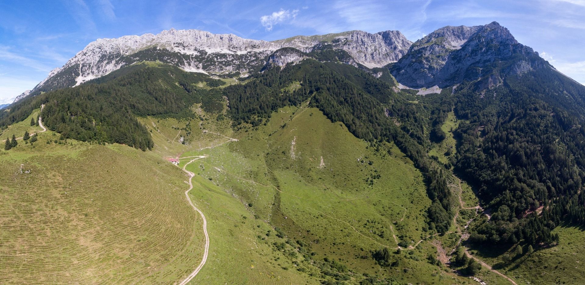
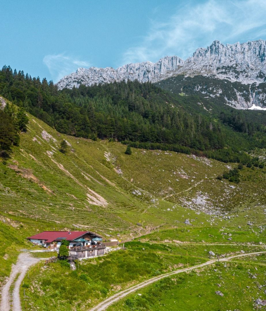
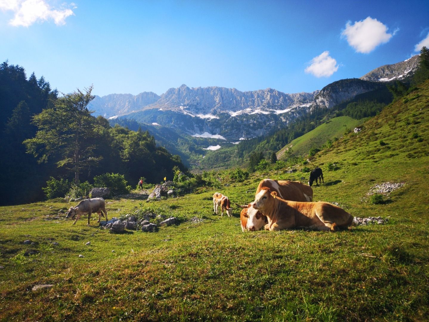
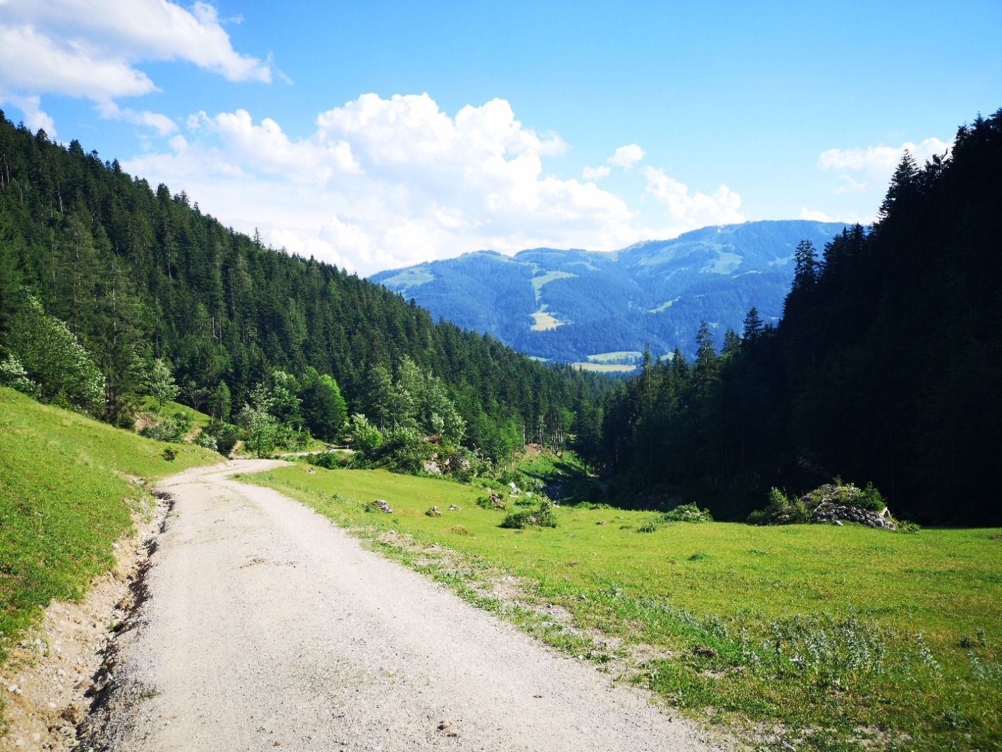
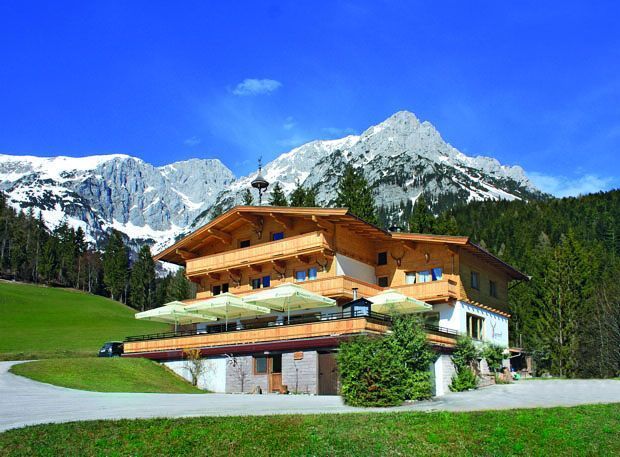
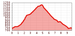
The start of this hike is the center of Scheffau. Follow the signs to Rehbachklamm and the trail no. 42 to the end of the wild and romantic gorge. Below the Hinterschießlingalm (1.020 m), turn left and follow path no. 42 along the edge of the forest until you come to the forest path leading to the Kaiseralm (1.146 m) (trail no. 826). After a few hundred meters you will reach the intersection with Kaiserniederalm. After the pasture, turn right and reach the Sailabodenkreuz (1.200 m) with a panoramic view of the Wilder Kaiser. Now it goes downhill to the Kaiseralm (refreshments available) and continues on the Wegscheid Niederalm in the direction of Jägerwirt (trail no. 814). Just before the Jägerwirt turn left and follow the hiking trail no. 814 along the Treffauer creek back to the village center Scheffau.
Alternative: From Rehbachklamm, hike to Hinterschießlingalm and continue via forest road no. 41 to Seilabodenkreuz or Kaiseralm. Please note: From Hinterschießlingalm, the trail becomes somewhat steeper and more exposed to the sun – less advisable in very hot weather.
KaiserJet/Postbus stop “Scheffau Dorf”.
More information at: www.wilderkaiser.info/mobil
Public car park, Scheffau (740 m), north of the Community Hall - free


.jpg")


.jpg")


.jpg")
.jpg")


")

.jpg")
