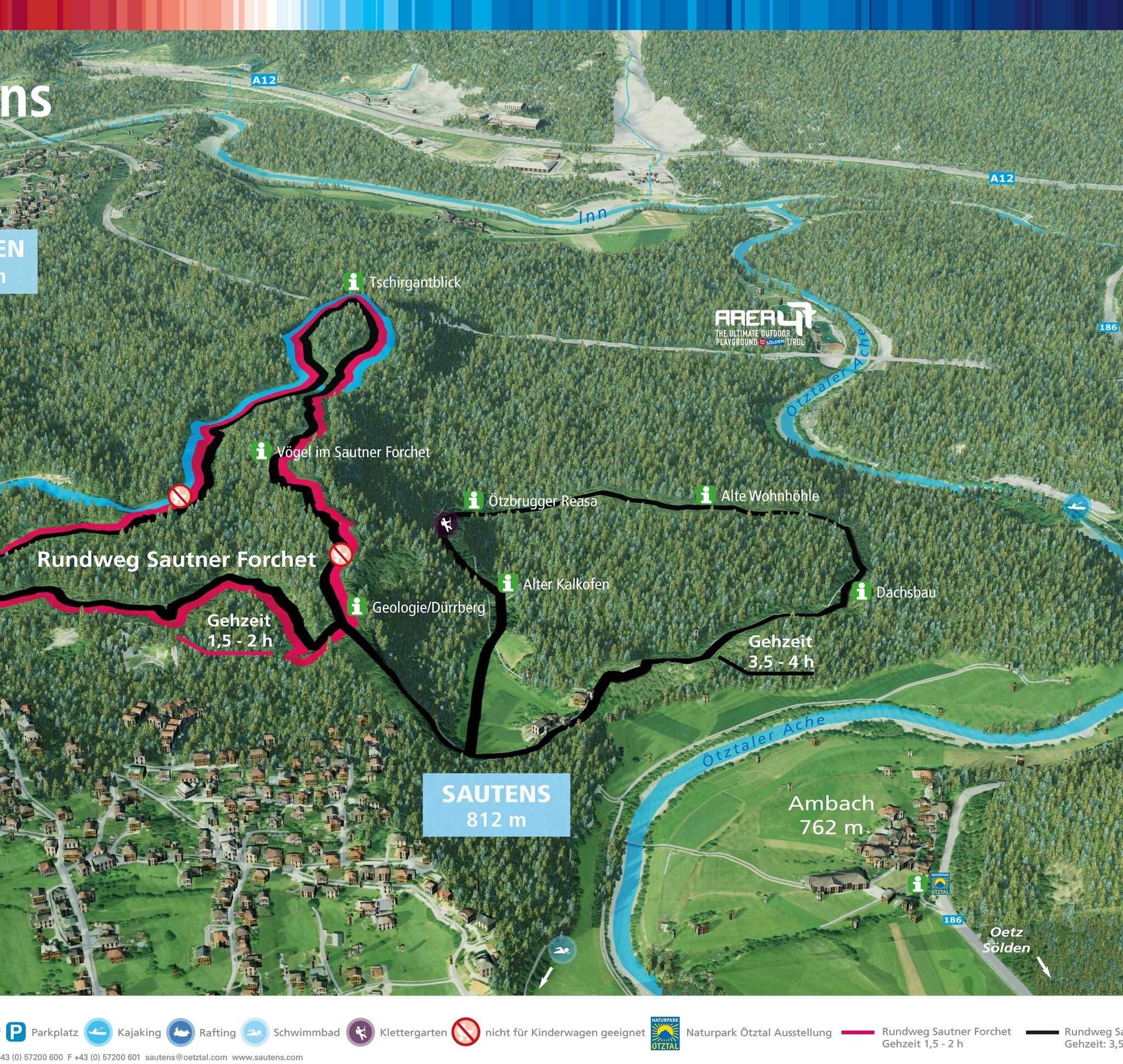
Mountain hikes Sautner Forchet - red route

Sautens /
Difficulty ratings: easy
Route length: 3.5 km
Duration: 1:30 h

SAUTENS -> Kreuzkapelle Sports Field -> Sautner Forchet -> SAUTENS

Tour information

  • Requirement: easy
  • Length: 3.5 km
  • Duration: 1:30 h
  • Elevation uphill:124 hm
  • Elevation downhill:124 hm
Highest point863 m

Starting point

Kreuzkapelle Sautens

Finishing point

Kreuzkapelle Sautens
  • Fitness level 1 / 6

Best time of year

  • January
  • February
  • March
  • April
  • May
  • June
  • July
  • August
  • September
  • October
  • November
  • December

Equipment

Easy hiking trail; suitable for beginners and walkers. Please check the current weather report at: www.oetztal.com/en/summer.html Appropriate equipment such as breathable and weather-appropriate outdoor clothing, ankle-high hiking shoes, wind, rain and sun protection, hat, possibly gloves, is required for all hikes and routes. Carrying a first-aid kit, a mobile phone and possibly a hiking map, as well as sufficient provisions on hikes without refreshment options, is necessary.
Source: Ötztal

Description

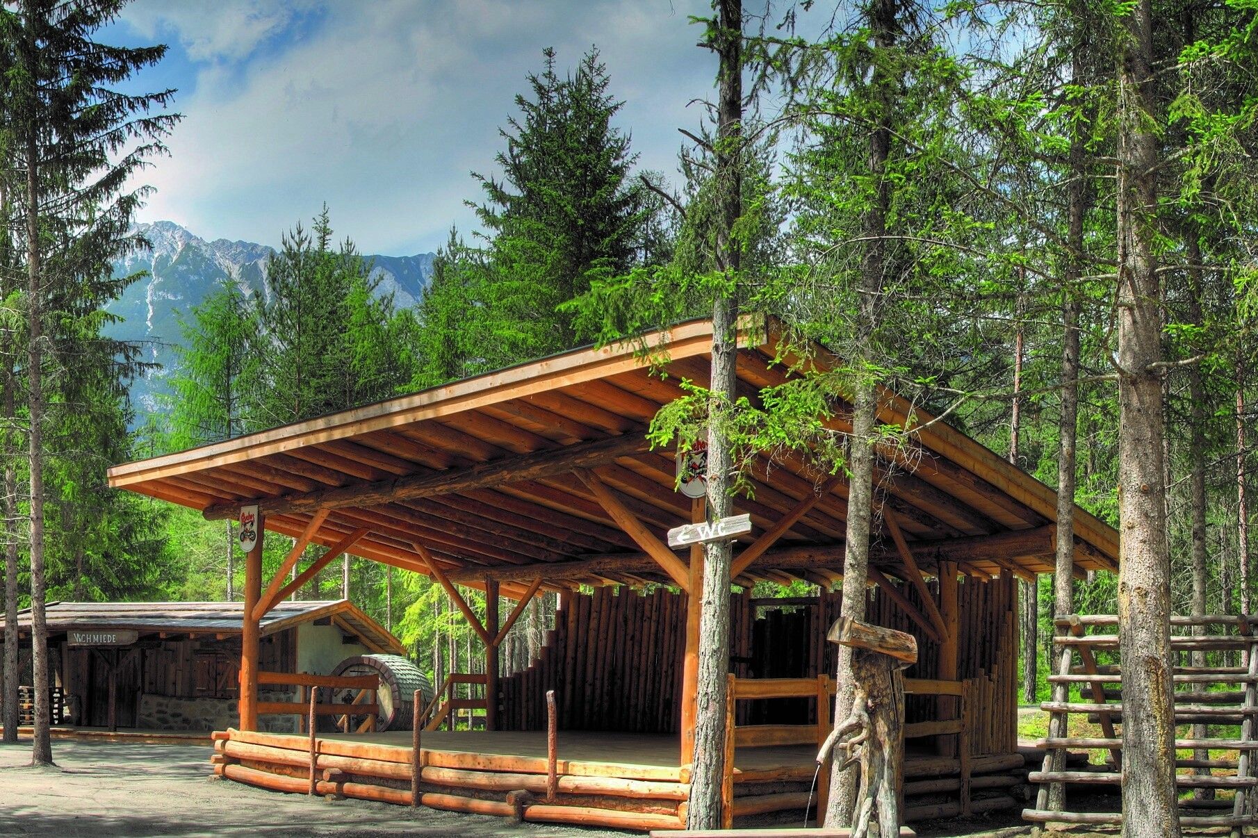
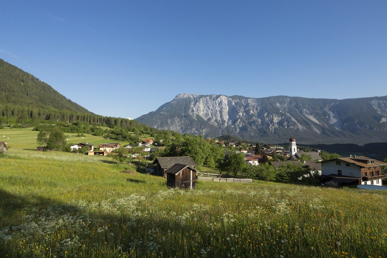
Over 3,000 years ago, mighty parts of the Tschirgant collapsed into the valley and buried the exit of the Ötztal. Today, the area is a small, originally preserved natural oasis in the otherwise densely populated Tyrolean Inn Valley. The mostly forested area offers quiet places to linger, rich biodiversity, and is surrounded by legends and myths. Two circular hiking paths lead through this mystical landscape across the Sautner Forchet, passing exciting cultural points (lime kiln, dwelling cave, ...) and several educational boards about the animal kingdom and geology.

depicted here, the red route:

The start is at the Kreuzkapelle Sautens. After about 100 m following the road, the red route turns right into the forest. Beautiful hiking trail to the Tschirgantblick viewpoint. Then continue to the board about birds and geology. Especially in spring and autumn, it is a very nice hike. This round is also available for children as a geocaching route with a treasure map.

Walking time 1 1/2 to 2 hours


Getting here

  • Arrival by public transport

    Travel comfortably and safely by train to the Ötztal train station. The final stop or exit point is ÖTZTAL station. Then you can travel comfortably and quickly by public transport or local taxi companies through the entire valley to your desired destination! The current bus timetable is available at: http://fahrplan.vvt.at

  • Parking

    The following parking options are available in Sautens:

    • directly in front of the town hall - free
    • immediately after the large bridge (turnoff from B186) to the right on the large gravel parking lot - free
    • at the sports field/Kreuzkapelle/adventure facility Kalkofen - free
    • in front of the elementary school/kindergarten, 3-Kirchblickweg – free

More tours in the surrounding area

Newsletter

The mountain is calling? So does our newsletter!

In our monthly newsletter we reveal the best holiday tips for Tyrol.