
Opening hours:Today closed
Place:Alpbach
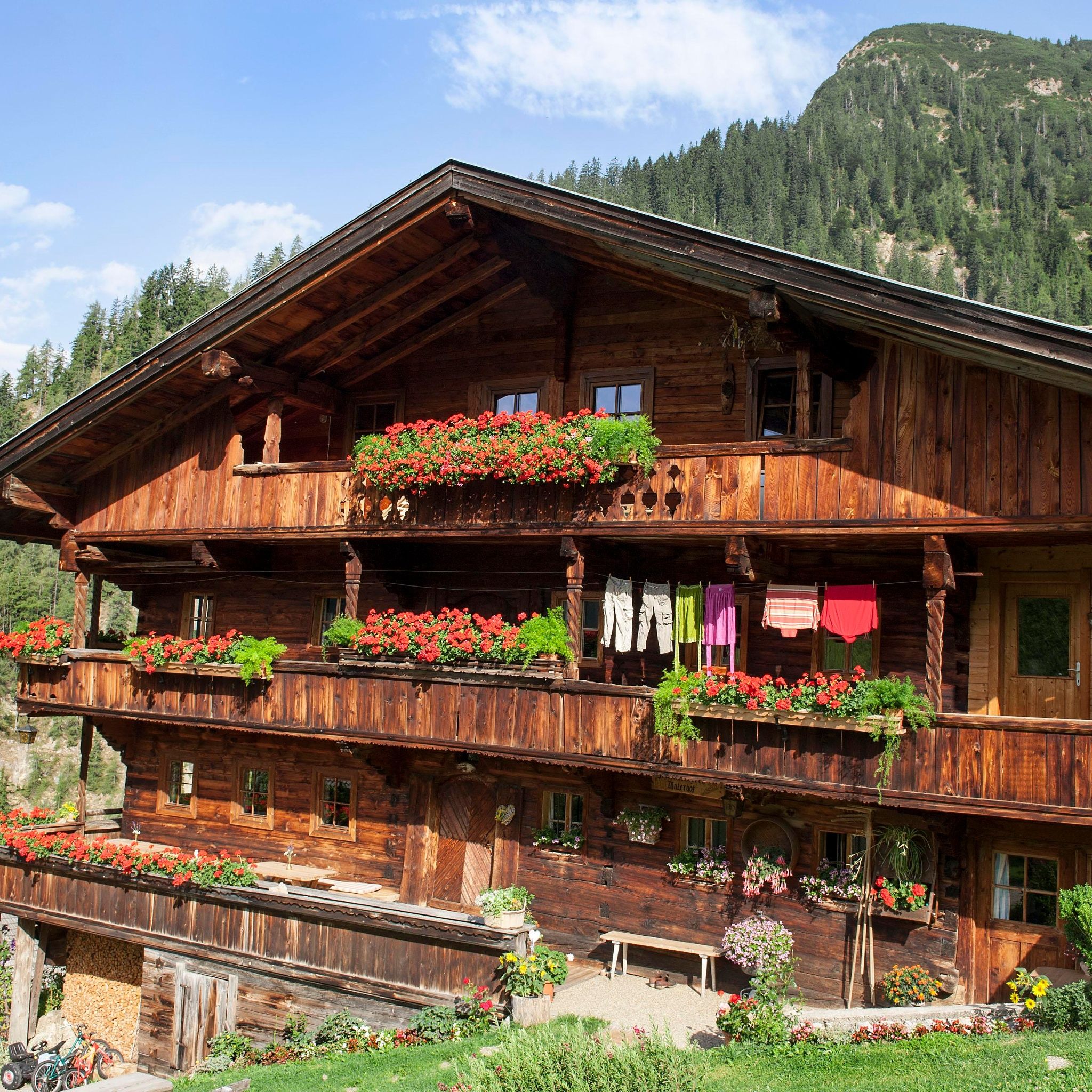
:Alpine pasture / hut / mountain restaurant
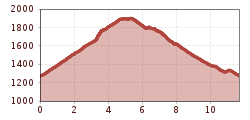
Varied circular route via Zottaalm, Schatzberg, Hahnkopf and a stop at Riedalm. A moderately difficult route with magnificent views, diverse nature and a culinary break.

Sturdy shoes and weather-appropriate hiking clothing
Fancy a varied mountain route with guaranteed panorama?
This circular hike combines traditional alpine pastures, wide views, and true Tyrolean enjoyment moments.
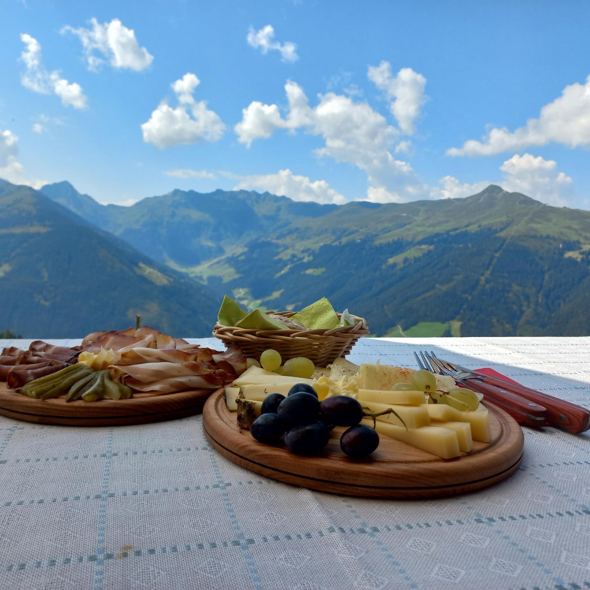
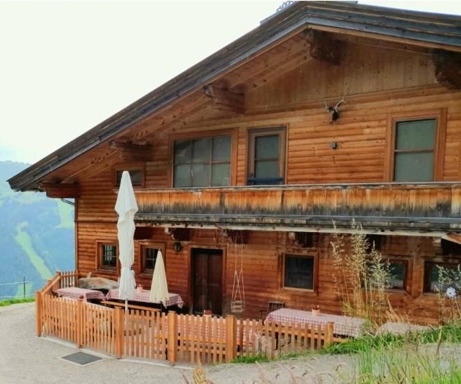
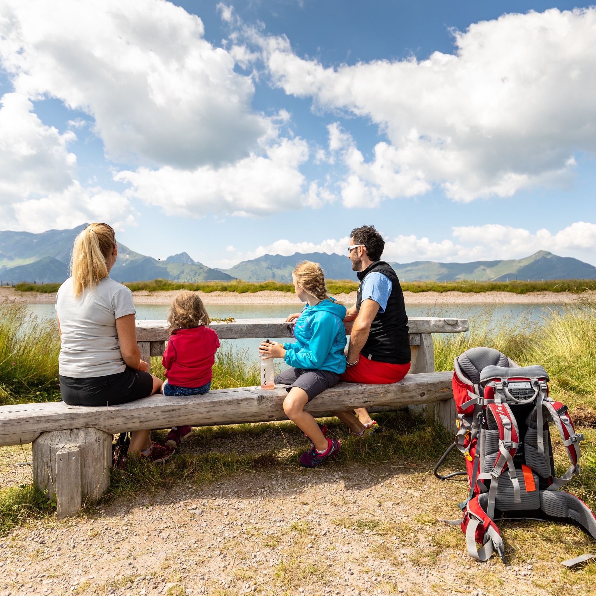
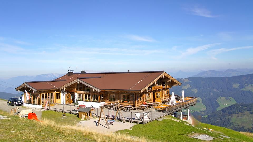
Starting from Alpbach above the Oberthaler snack station, the route leads to the unmanaged alpine pastures "Zottaalm" and on to "Thaleralm" – two charming places to rest. Over scenic slopes you climb up to the Schatzberg summit: The view over the Kitzbühel Alps is simply magnificent! Next, continue to Hahnkopf, past the sparkling reservoir pond. A bit further down awaits the "Riedalm" snack station with regional delicacies and a sun terrace – perfect for a strengthening break. Via the unmanaged Pechalm and a flowery meadow path you return to Alpbach. The route is of moderate difficulty and rewards you with pure nature, peaceful alpine moments, and real mountain feeling.
Several dining options along the route:
no public transport available.
Above the Oberthaler snack station


")


