Mountain hikes Schmalzkopf

Pfunds / Ötztal Alps
Difficulty ratings: medium
Route length: 13.3 km
Duration: 8:40 h

A scenic hike to the summit of Schmalzkopf, passing the Lukaskreuz and a fresh mountain spring along the way.

Tour information

  • Requirement: medium
  • Length: 13.3 km
  • Duration: 8:40 h
  • Elevation uphill:1,319 hm
  • Elevation downhill:1,314 hm
Highest point2,717 m

Starting point

Parkplatz Wildmoos | Pfunds

Finishing point

Parkplatz Wildmoos | Pfunds
  • Fitness level 5 / 6
  • Technique 5 / 6

Best time of year

  • January
  • February
  • March
  • April
  • May
  • June
  • July
  • August
  • September
  • October
  • November
  • December

Trail condition

Trail

Equipment

We recommend equipment suitable for the tour and weather conditions, including sturdy shoes, weatherproof clothing, food, and appropriate maps.
Source: TVB Tiroler Oberland

Description

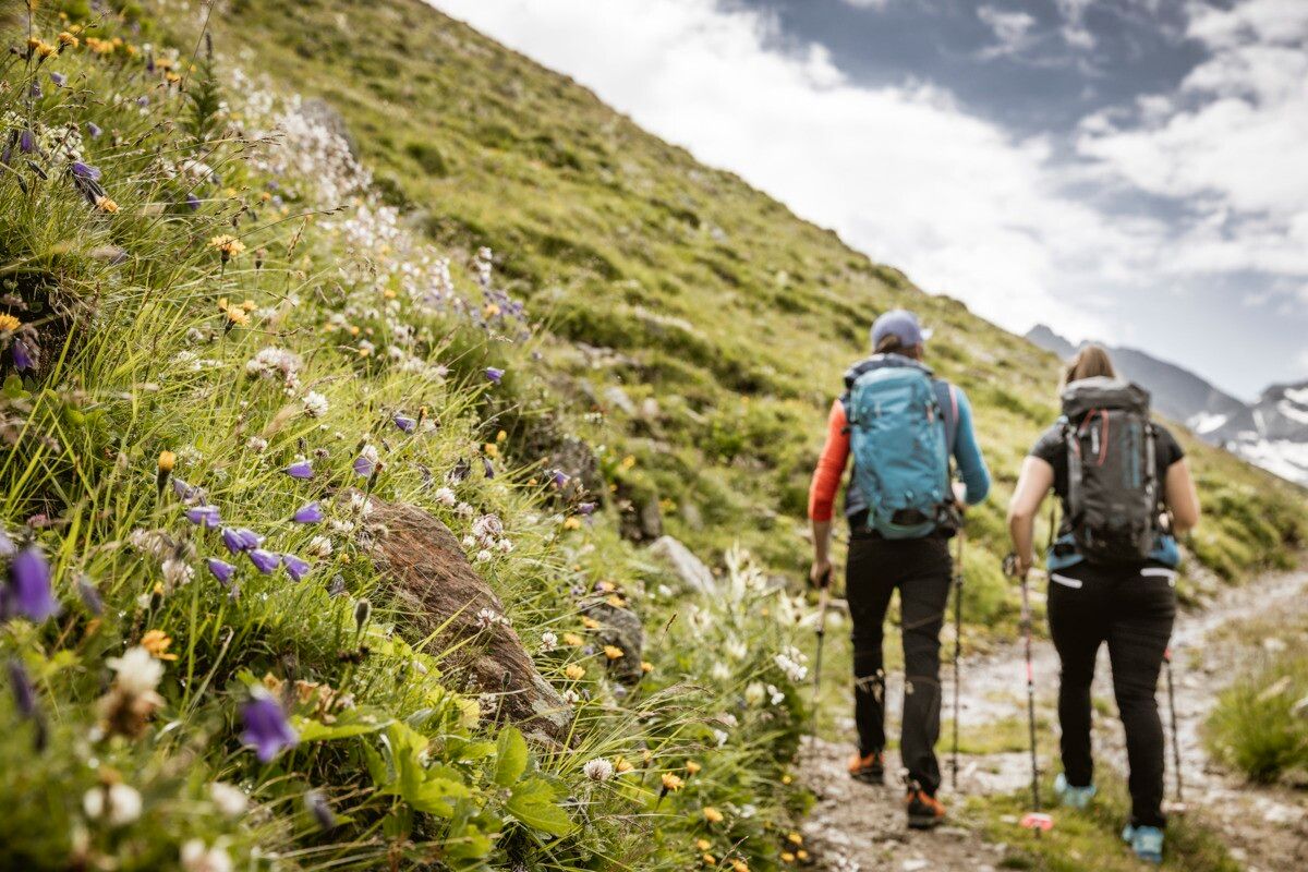
The hike starts in the Radurschl Valley. From here, the trail turns right into the forest and follows trail marker No. 26. Shortly afterwards, the path branches off to the right and passes the drinking water spring of Pfunds. Continue following the marked trail to the Lukaskreuz and then further along route No. 26 up to the Schmalzkopf. The return follows the same route back to the starting point.

Getting here

  • Arrival by public transport

    Tip: there is a hiking shuttle to the Radurschl every Tuesday.

  • Parking

    Parking area: Wildmoos, paid parking

More tours in the surrounding area

Newsletter

The mountain is calling? So does our newsletter!

In our monthly newsletter we reveal the best holiday tips for Tyrol.