
Opening hours:Today closed
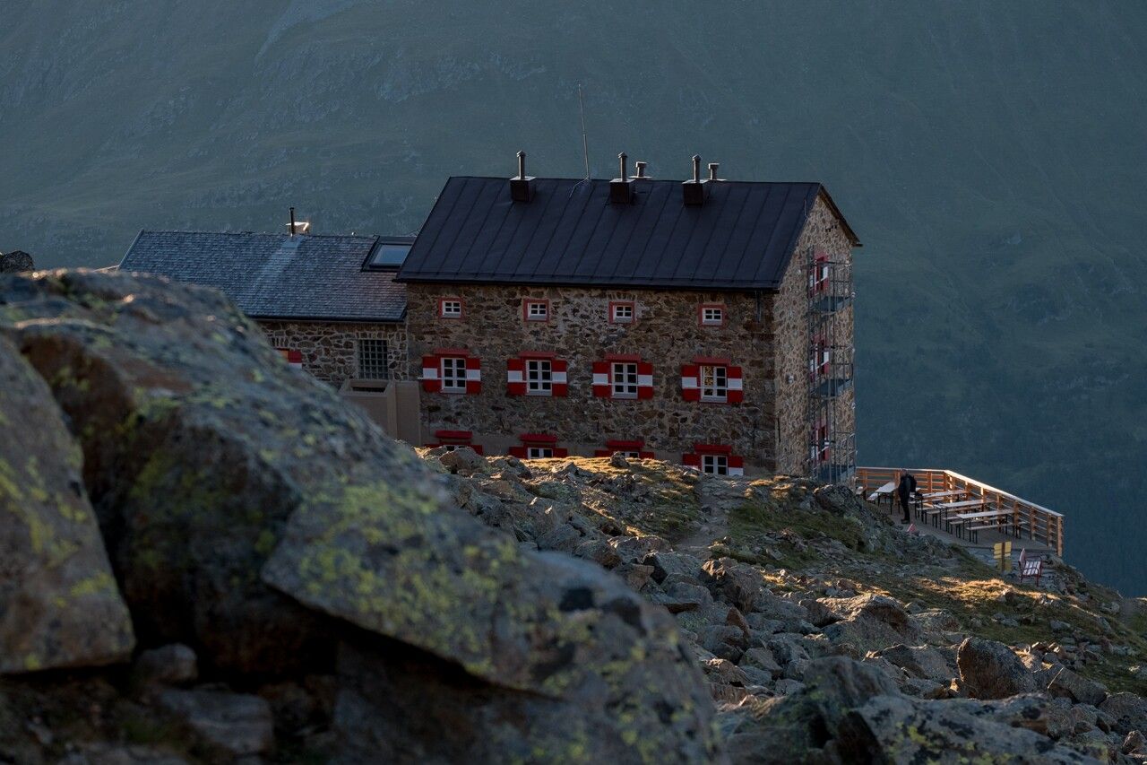
Place:Vent
:Alpine pasture / hut / mountain restaurant
Sölden - Breslauer Hütte
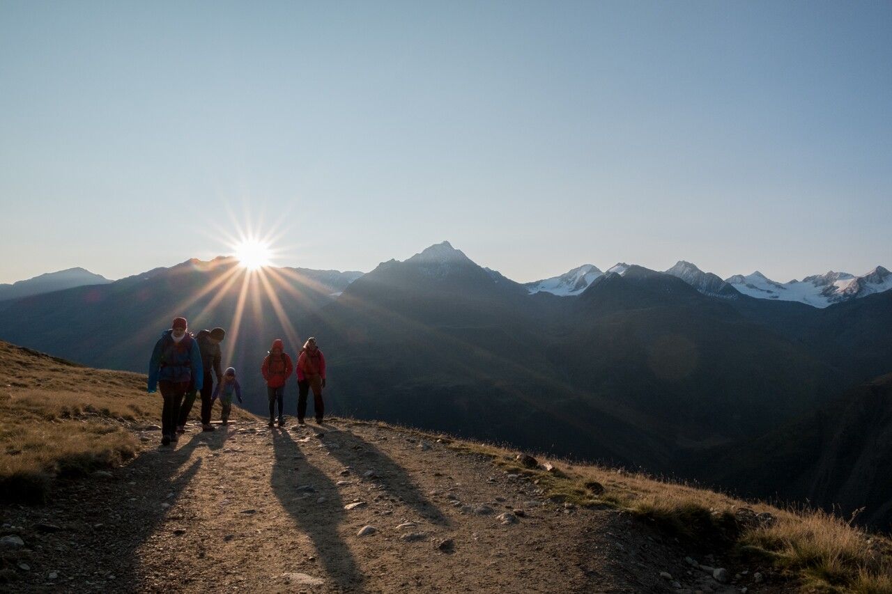
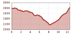
Sölden (1.68 m) - Restaurant Tiefenbach (bus ride) (2.789 m) - Breslauer Hut (2.844 m)
Bus ride from Sölden to Tiefenbach glacier - the trail travels above the Venter Tal valley and climbs moderately up to Stableinalm hut and (partly steep) on to Breslauer hut.
Enjoy a both comfortable and relaxing train ride to the train station in Ötztal Bahnhof. You get off the train in ÖTZTAL Bahnhof where you change to a public bus or local taxi. The current bus schedule can be found at: http://fahrplan.vvt.at
The following parking facilities are available in Sölden:
All parking is free during the day.
Parking for several days (eg hike tour):


