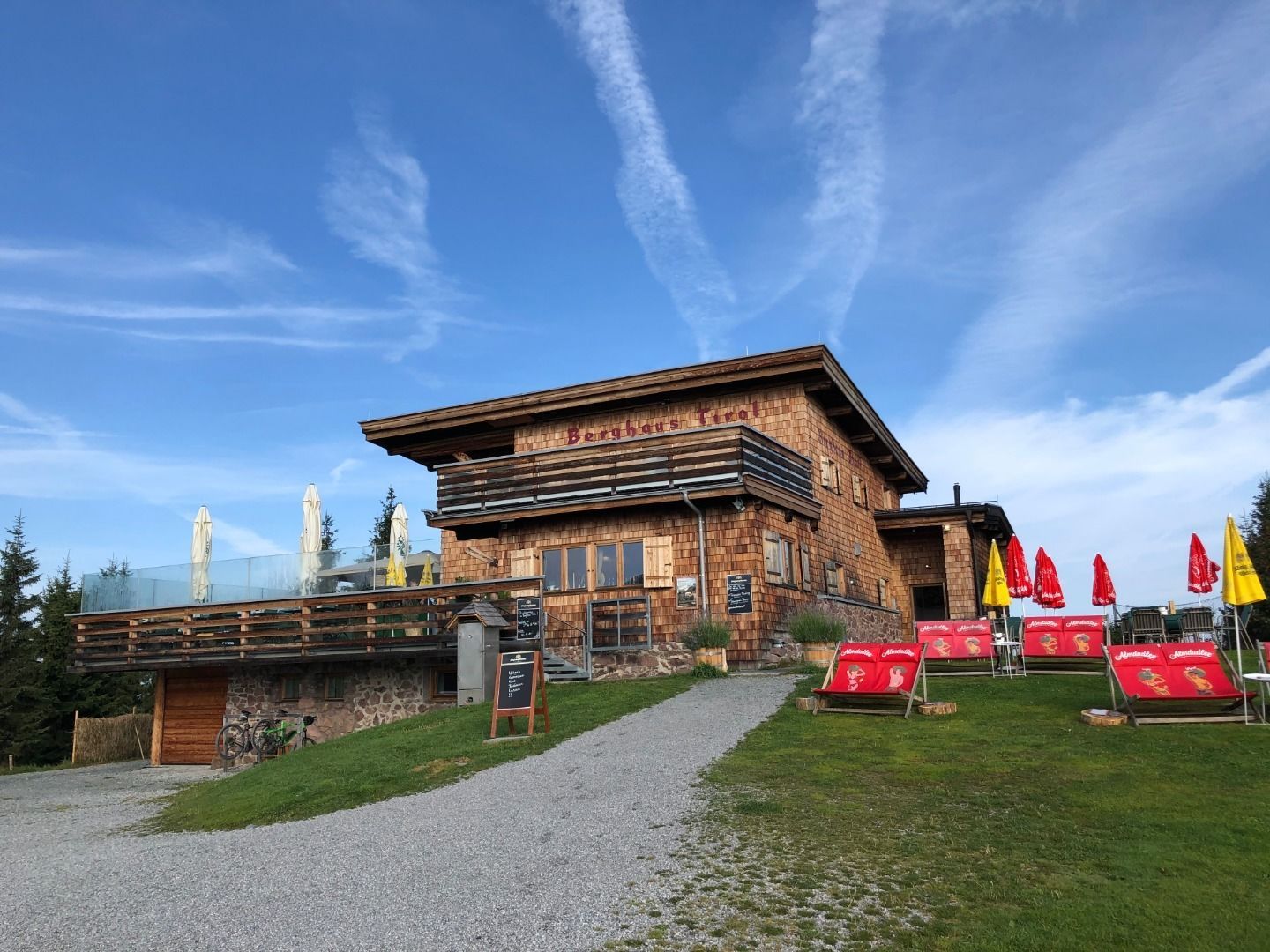
Berghaus Tirol Sommer © Berghaus Tirol Berghaus TyrolOpening hours:Today closedPlace:Kitzbühel:Tavern, Alpine pasture / hut / mountain restaurantsee restaurant detailssee restaurant details: Berghaus Tyrol
Hocheckhütte Sommer © Kitzbühel Tourismus HocheckhütteOpening hours:Today closedPlace:Kitzbühel:Tavern, Alpine pasture / hut / mountain restaurantsee restaurant detailssee restaurant details: Hocheckhütte
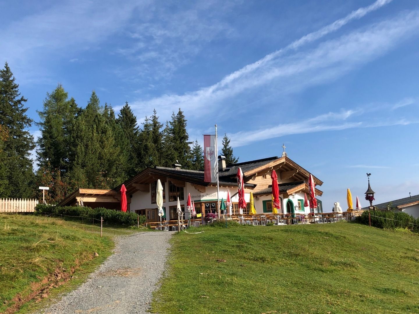
Hahnenkammstüberl Sommer © Hahnenkammstüberl HahnenkammstüberlOpening hours:Today closedPlace:Kitzbühel:Tavern, Alpine pasture / hut / mountain restaurantsee restaurant detailssee restaurant details: Hahnenkammstüberl
Sommeransicht © Kitzbühel Tourismus Hochkitzbühel by TomschyOpening hours:Today closedPlace:Kitzbühel:Tavern, Alpine pasture / hut / mountain restaurant, Bar / Pubsee restaurant detailssee restaurant details: Hochkitzbühel by Tomschy
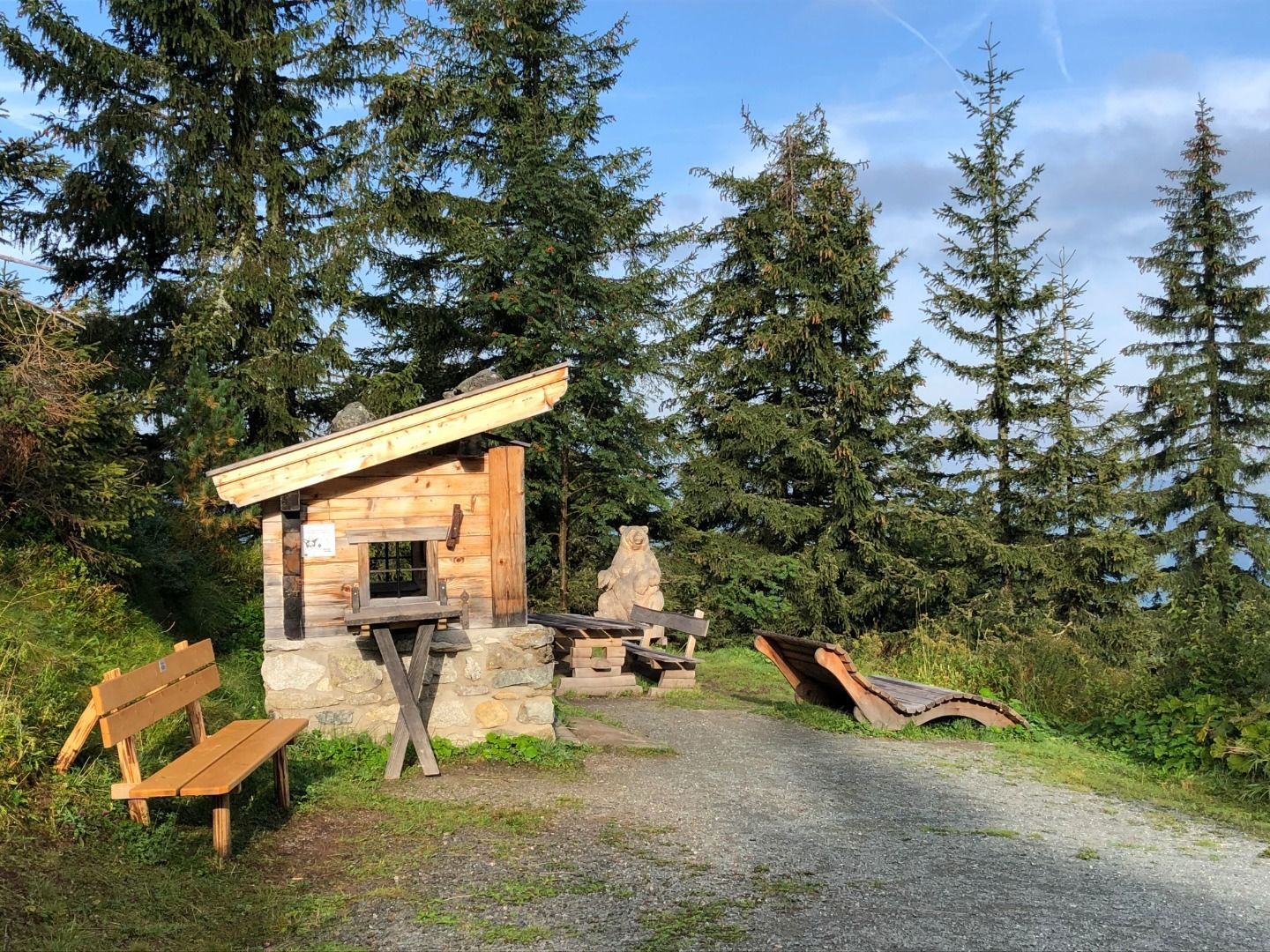
GenießerRundWeg am Ahorn © Christian Lorenz Circular & themed hike: "GenießerRundWeg" at Mount AhornDifficulty:easyLength:2.0 kmDuration:0:45 hElevation uphill:70 mSee trailSee trail: Circular & themed hike: "GenießerRundWeg" at Mount Ahorn
©-TVB-Tiroler-Oberland-Kaunertal-Daniel-Zangerl-Aifneralm-2016-(19).jpg © Daniel Zangerl Rolli-Wanderung Aifner AlmDifficulty:mediumLength:6.0 kmDuration:2:30 hElevation uphill:460 mSee trailSee trail: Rolli-Wanderung Aifner Alm
Wandern am Penken © Christian Lorenz Themed hike: Mayrhofen "PanoramaRundWeg" at Mount PenkenDifficulty:easyLength:4.4 kmDuration:1:45 hElevation uphill:195 mSee trailSee trail: Themed hike: Mayrhofen "PanoramaRundWeg" at Mount Penken
Benni-Raich-Brücke_0518_001.jpg © TVB Pitztal/Chris Walch Arzl - Benni-Raich-Bridge - WaldDifficulty:easyLength:1.8 kmDuration:0:40 hElevation uphill:120 mSee trailSee trail: Arzl - Benni-Raich-Bridge - Wald
Muttereralm - Saile (Nockspitze)Difficulty:difficultLength:7.5 kmDuration:4:00 hElevation uphill:789 mSee trailSee trail: Muttereralm - Saile (Nockspitze)
Breitegg tourDifficulty:mediumLength:11.0 kmDuration:5:00 hElevation uphill:680 mSee trailSee trail: Breitegg tour
Kaiserlift Tour tip 1: Berghaus Aschenbrenner und Duxer AlmDifficulty:easyLength:4.9 kmElevation uphill:35 mSee trailSee trail: Kaiserlift Tour tip 1: Berghaus Aschenbrenner und Duxer Alm
©-TVB-Tiroler-Oberland-Kaunertal-Daniel-Zangerl-Falkaunsalm-2016-(6).jpg © Daniel Zangerl Rolli-Wanderung FalkaunsalmDifficulty:mediumLength:4.5 kmDuration:1:45 hElevation uphill:392 mSee trailSee trail: Rolli-Wanderung Falkaunsalm
©-TVB-Tiroler-Oberland-Kaunertal-Daniel-Zangerl-2016-Nassereinalm-(5).jpg © Daniel Zangerl Rolli-Wanderung NassereinalmDifficulty:mediumLength:5.5 kmDuration:1:45 hElevation uphill:269 mSee trailSee trail: Rolli-Wanderung Nassereinalm
©-TVB-Tiroler-Oberland-Kaunertal-Daniel-Zangerl-Piller-Moor-Familie-2014-(28).jpg © Daniel Zangerl Rolli-Wanderung Piller MoorDifficulty:easyLength:2.0 kmSee trailSee trail: Rolli-Wanderung Piller Moor
Arzler Alm 1 © TVB Pitztal/Chris Walch Arzler Alm – TiefentalalmDifficulty:mediumLength:11.3 kmDuration:5:00 hElevation uphill:1,000 mSee trailSee trail: Arzler Alm – Tiefentalalm
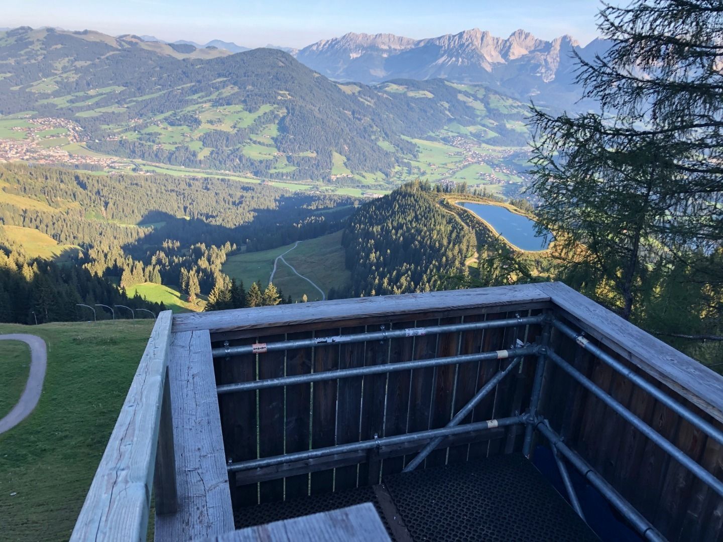
Going_Ausblick vom Baumgartenköpfl_Wilder Kaiser © TVB Wilder Kaiser/Thomas Hennerbichler Tauernblick panorama circular hiking routeDifficulty:mediumLength:13.6 kmDuration:6:00 hElevation uphill:980 mSee trailSee trail: Tauernblick panorama circular hiking route
Pfad zur Dürrenberg Alm © Rene Paulweber Koflerjoch summit hikeDifficulty:difficultLength:9.3 kmDuration:4:45 hElevation uphill:933 mSee trailSee trail: Koflerjoch summit hike
Ehenbichler Alm © Robert Eder, Naturparkregion Reutte Winter walk to the Ehenbichler Alm hutDifficulty:difficultLength:6.5 kmDuration:4:00 hElevation uphill:640 mGo to winter hikeGo to winter hike: Winter walk to the Ehenbichler Alm hut
Winterwandern in der Naturparkregion Reutte © Peter Neusser Hike to the Ehrenberg castle ruinsDifficulty:mediumLength:5.1 kmDuration:1:45 hElevation uphill:237 mGo to winter hikeGo to winter hike: Hike to the Ehrenberg castle ruins
Frauenseestube aerial view © Robert Eder Winter Hike to Lake Frauensee from LechaschauDifficulty:easyLength:7.2 kmDuration:2:30 hElevation uphill:122 mGo to winter hikeGo to winter hike: Winter Hike to Lake Frauensee from Lechaschau
Wandern Bettlersteig Kaistertal Naturerlebnis Kaisergebirge © Thomas Laukat Kaiserlift Tourentipp 5: From Brentenjoch into the Kaiser ValleyDifficulty:difficultLength:17.6 kmElevation uphill:425 mSee trailSee trail: Kaiserlift Tourentipp 5: From Brentenjoch into the Kaiser Valley
Vilser Alm im Winter © Robert Eder Winter walk to the Vilser Alm hutDifficulty:mediumLength:6.6 kmDuration:2:30 hElevation uphill:348 mGo to winter hikeGo to winter hike: Winter walk to the Vilser Alm hut
©-TVB-Tiroler-Oberland-Kaunertal-Daniel-Zangerl-2016-Gepatschhaus-(3).jpg © Daniel Zangerl Rolli-Wanderung GepatschhausLength:8.5 kmDuration:1:45 hElevation uphill:156 mSee trailSee trail: Rolli-Wanderung Gepatschhaus
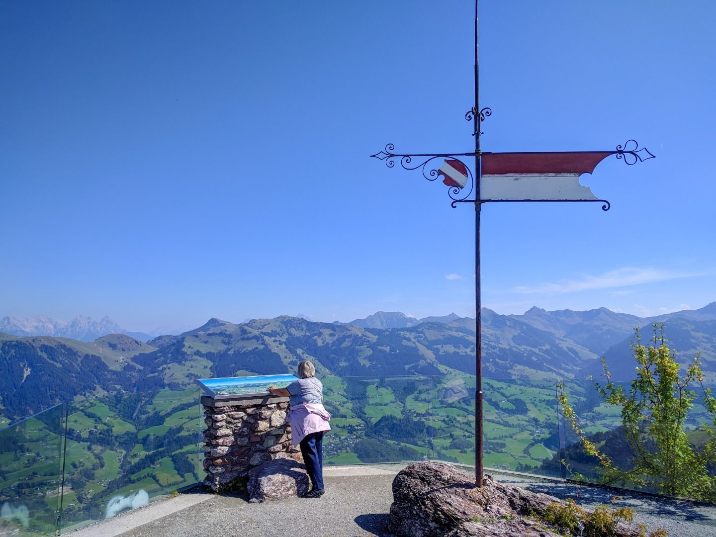
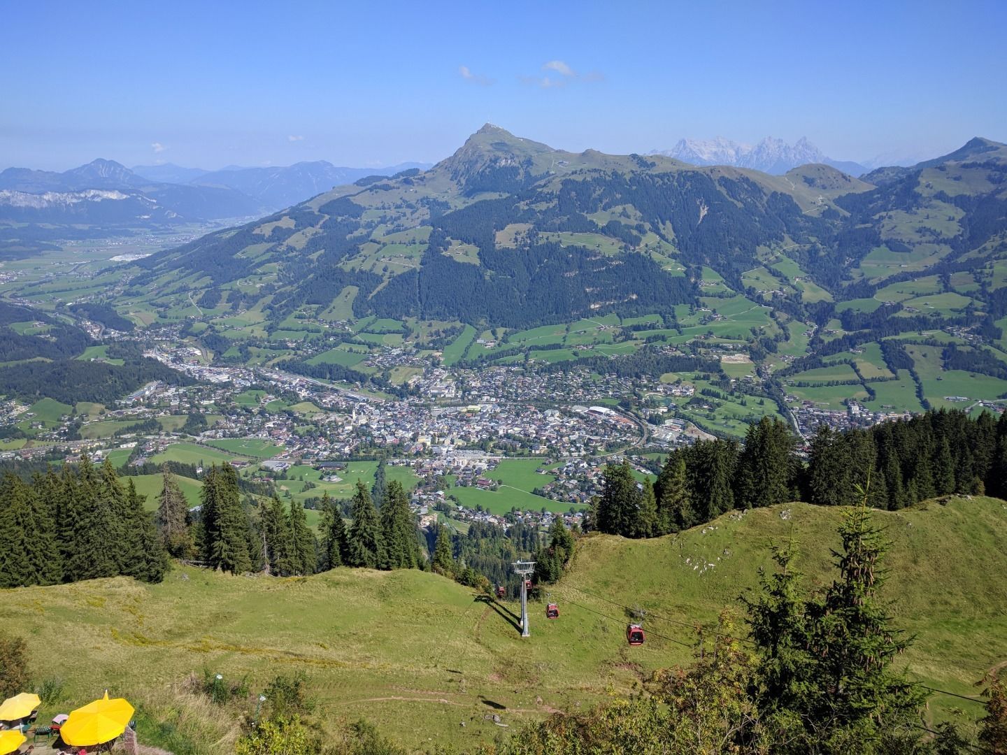
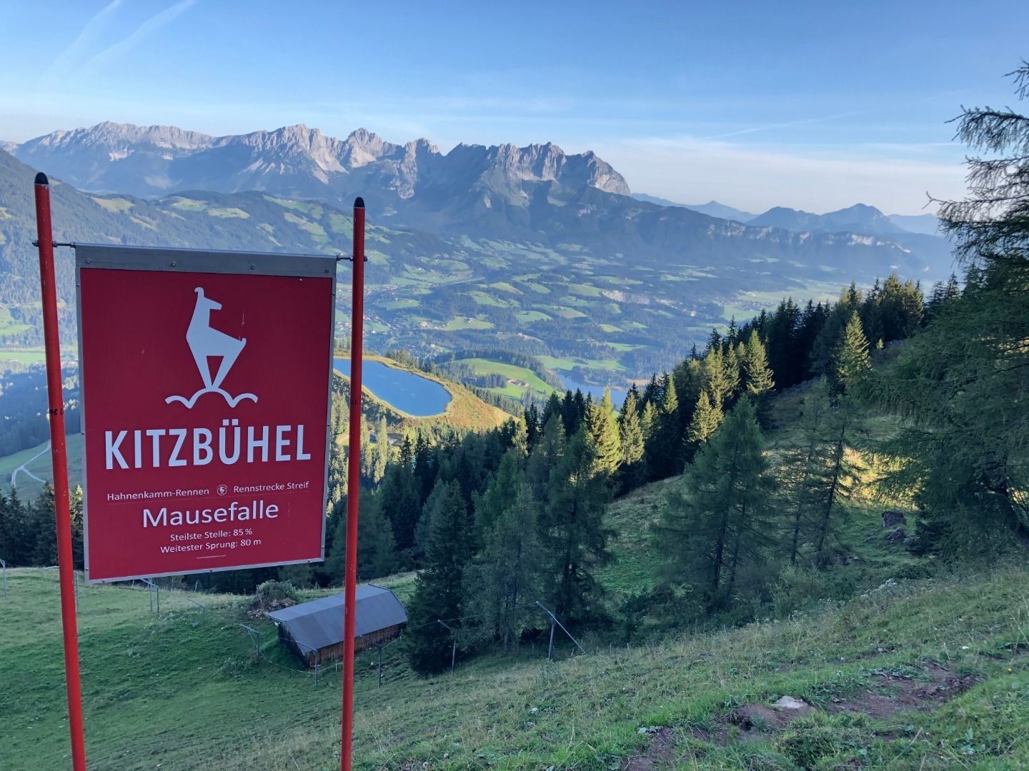
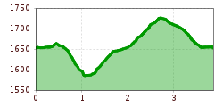
Horn-Gipfel-Höhenweg auf der Kitzbüheler Seite © Mirja Geh Kitzbüheler Horn via Horn-Gipfel-HöhenwegOpening hours:closedDifficulty:mediumLength:5.0 kmDuration:3:00 hElevation uphill:455 mSee trailSee trail: Kitzbüheler Horn via Horn-Gipfel-Höhenweg
Putzen-Alm © TVB St. Anton am Arlberg Patrick Bätz St. Anton - PutzenalpeDifficulty:mediumLength:10.8 kmDuration:4:00 hElevation uphill:605 mSee trailSee trail: St. Anton - Putzenalpe
Evening winter hike Kleinmutzkopf, NaudersDifficulty:easyLength:6.0 kmDuration:2:00 hElevation uphill:70 mGo to winter hikeGo to winter hike: Evening winter hike Kleinmutzkopf, Nauders
Rundwanderung um den PlanseeDifficulty:mediumLength:14.6 kmDuration:3:30 hElevation uphill:85 mSee trailSee trail: Rundwanderung um den Plansee
KarwendeltourDifficulty:mediumLength:42.1 kmDuration:14:00 hElevation uphill:1,924 mSee trailSee trail: Karwendeltour
Besinnungsweg © Lechtal Tourismus Hölltal - Trail of the Senses - Bschlaber HöhenwegDifficulty:mediumLength:7.4 kmDuration:2:45 hElevation uphill:315 mSee trailSee trail: Hölltal - Trail of the Senses - Bschlaber Höhenweg
Give feedback for a chance to win a special holiday experience!Click here for the surveyClick here for the survey


.jpg")


.jpg")
.jpg")
")
.jpg")
.jpg")
.jpg")


.jpg")


.jpg")


