
Arrival by public transport
By bus to the bus stop Hohenkendl
Trail No.: 72
Forest Road, Hiking Trail
Breathable outdoor clothing, sturdy shoes, snacks and drinks, sun protection (sunglasses, sunscreen, and a hat), rain gear, cash; guest card if using the bus.
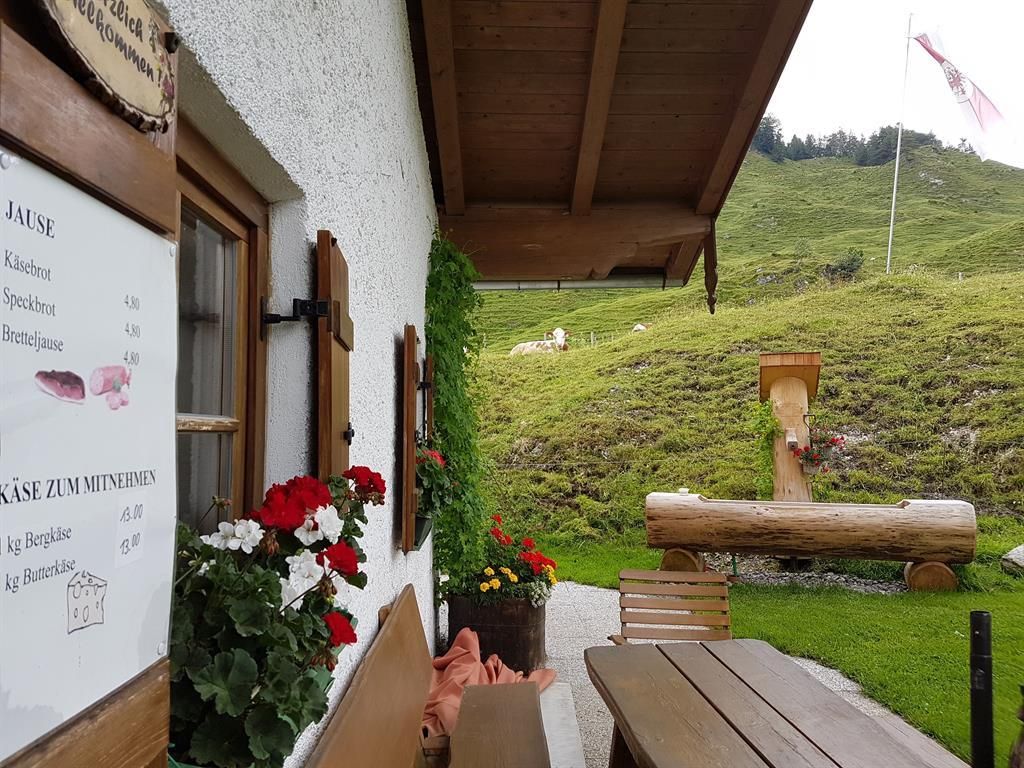
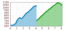
From the Dankl parking lot in Kohlental, turn left over the bridge. Hike to the Putzenhof trail fork, keep left here, and continue across the Putzenalm pastureland to the Stubenalm with its alpine cheese dairy. Return to the trail fork, turn right here, then shortly afterward turn left onto the hiking trail until just before the Untere Schnappenalm (partially staffed). Continue past the Obere Schnappenalm and the Schnappenkreuz, descending slightly to the Schnappenstein. The descent follows the same route.
Alternative Route 2: Start at the Gasthof Altmühl in Griesenau and hike along the forest road to the Stubenalm.
By bus to the bus stop Hohenkendl
Parking Lot Dankl (on the right side of the street)


