
Opening hours:Open today
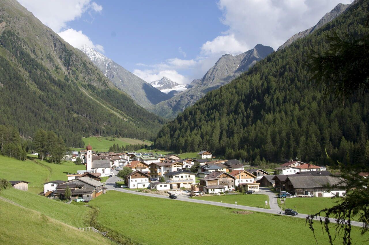
Place:Längenfeld
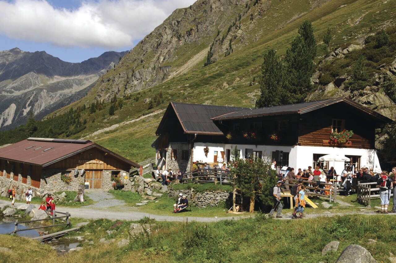
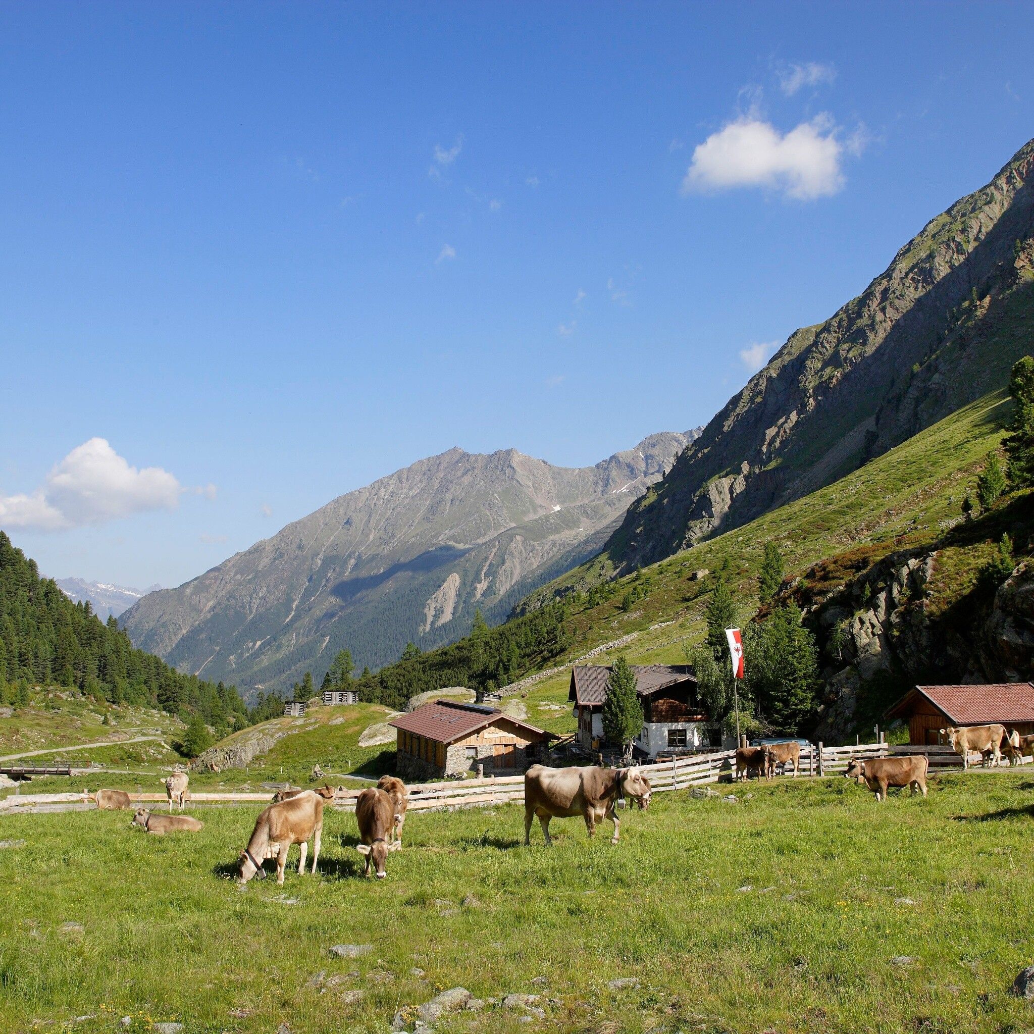
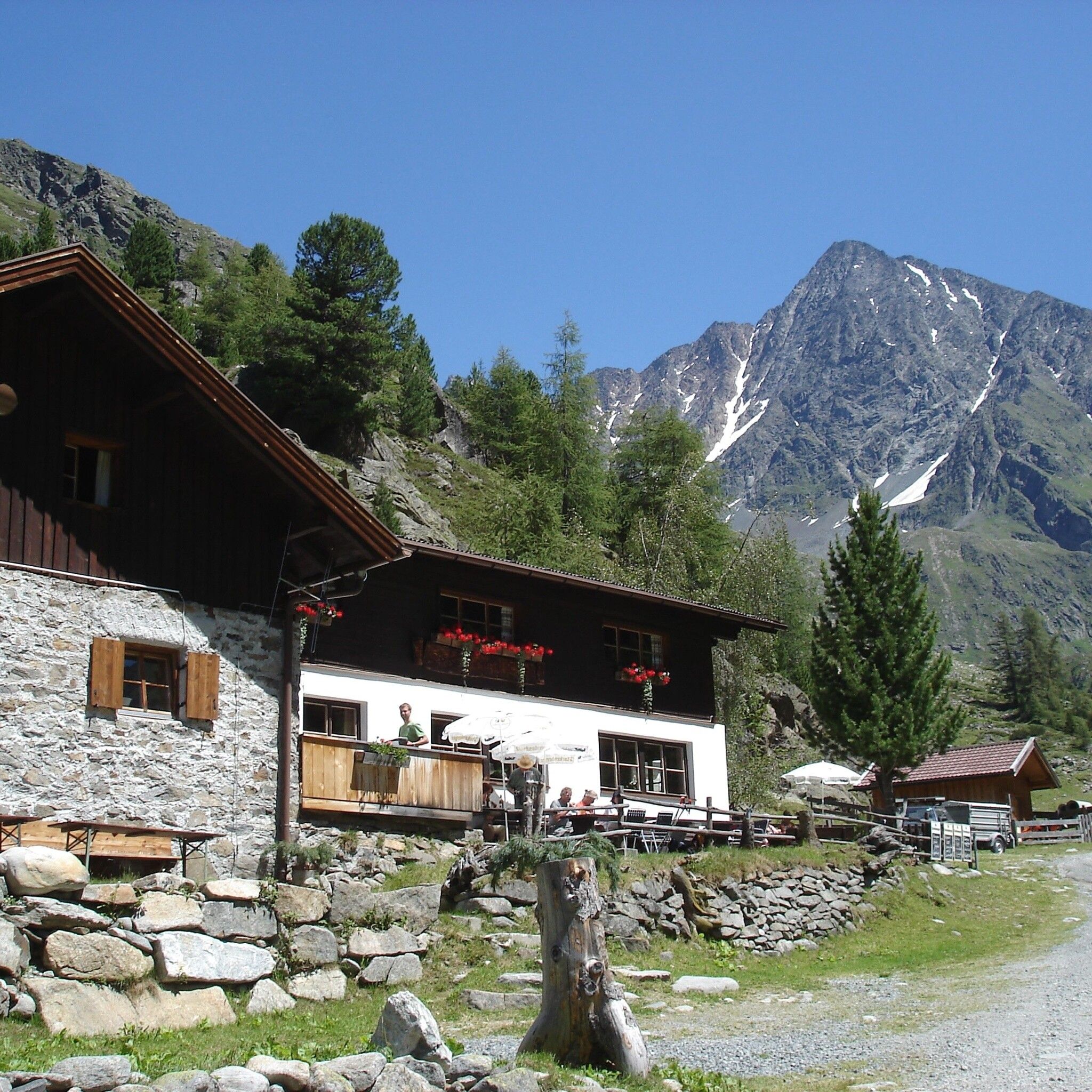
:Alpine pasture / hut / mountain restaurant
GRIES PARKING LOT -> towards Sulztalalm -> SULZTALALM The Sulztalalm is closed in summer 2025 due to renovation work
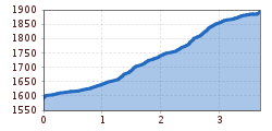
Easy hiking path; suitable for beginners and walkers. Please note the current weather report.
The starting point is the parking lot at the outskirts of Gries. From here, follow a gently ascending forest path towards Sulztalalm. Passing meadows and the Vögelasbrücke, you will soon reach the junction where you follow the forest path to the Sulztalalm. Continue hiking along the forest path with a gentle incline up to the Sulztalalm.
Travel by train comfortably and safely. The final stop or exit point is the ÖTZTAL train station. Afterwards, you can conveniently and quickly continue with public transport or local taxi companies through the entire valley to your desired destination. The current bus timetable is available at: fahrplan.vvt.at
The following parking options are available in Gries:
Parking lot at the end of the village – paid


")


