
Opening hours:Open today
Place:Vent
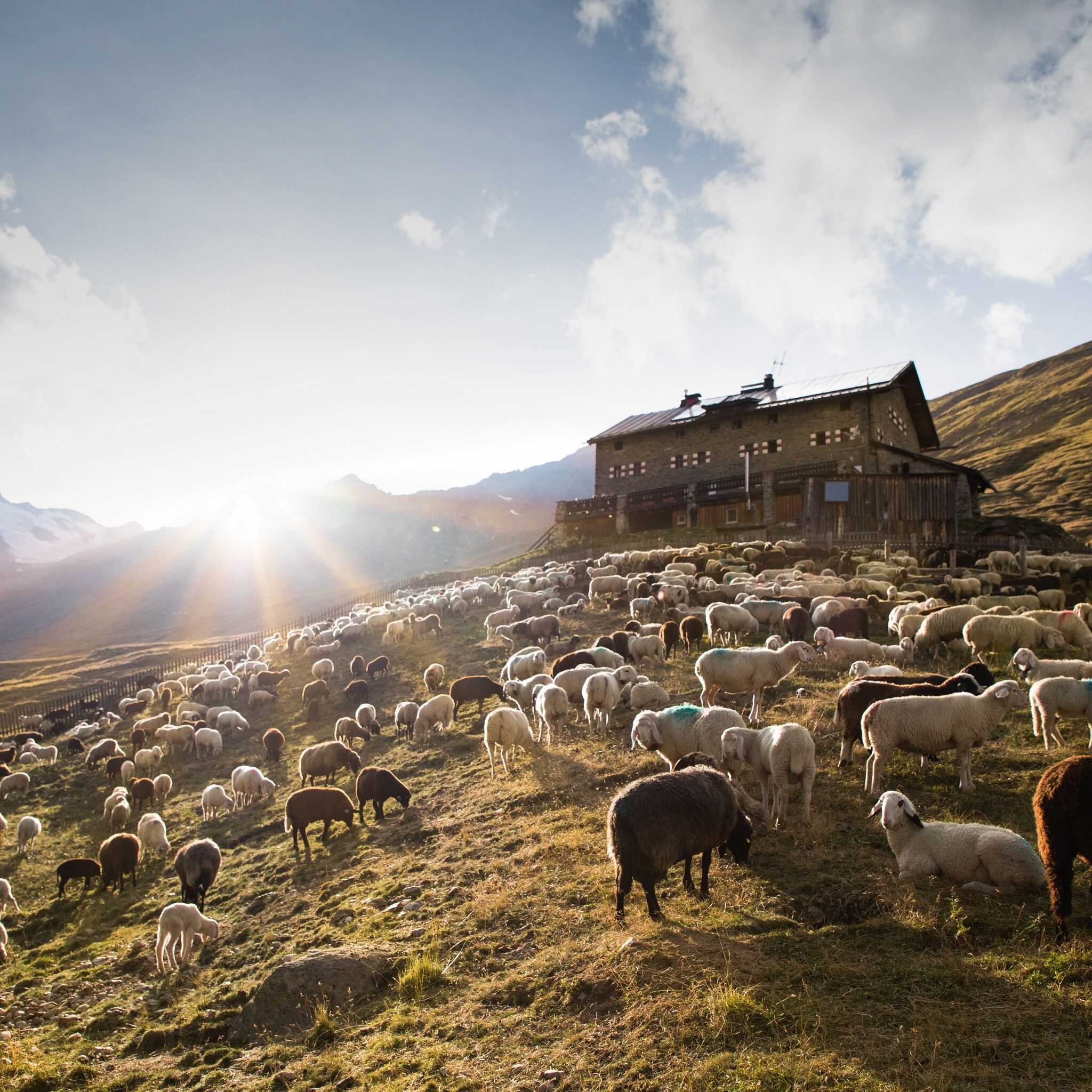
:Alpine pasture / hut / mountain restaurant
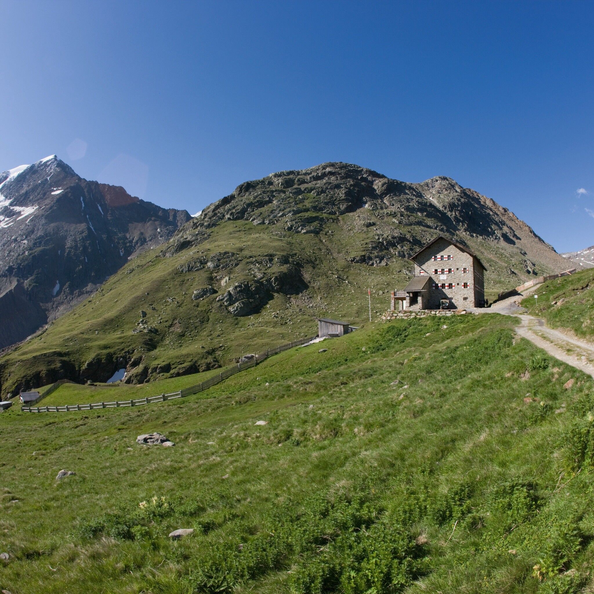
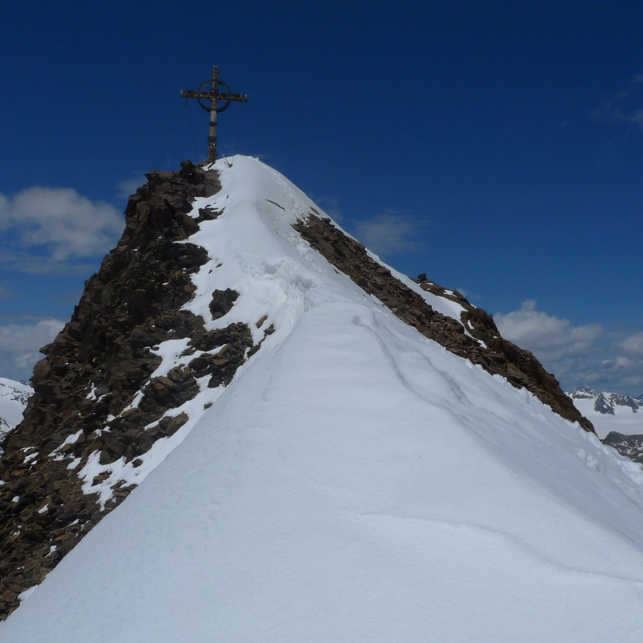
VENT -> Martin Busch Hut -> Kreuzspitze -> VENT
Wearing hiking gear such as breathable outdoor clothing adapted to the weather, ankle-high hiking boots, wind, rain and sun protection, a hat and possibly gloves is recommended! It is also important to bring sufficient provisions as well as a first aid kit, a mobile phone and possibly a hiking map.
Martin-Busch Hut-Kreuzspitze (3,457 m) - return to the hut - descent to Vent - overnight stay,
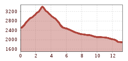
Walking time: total approx. 7 ½ hours.
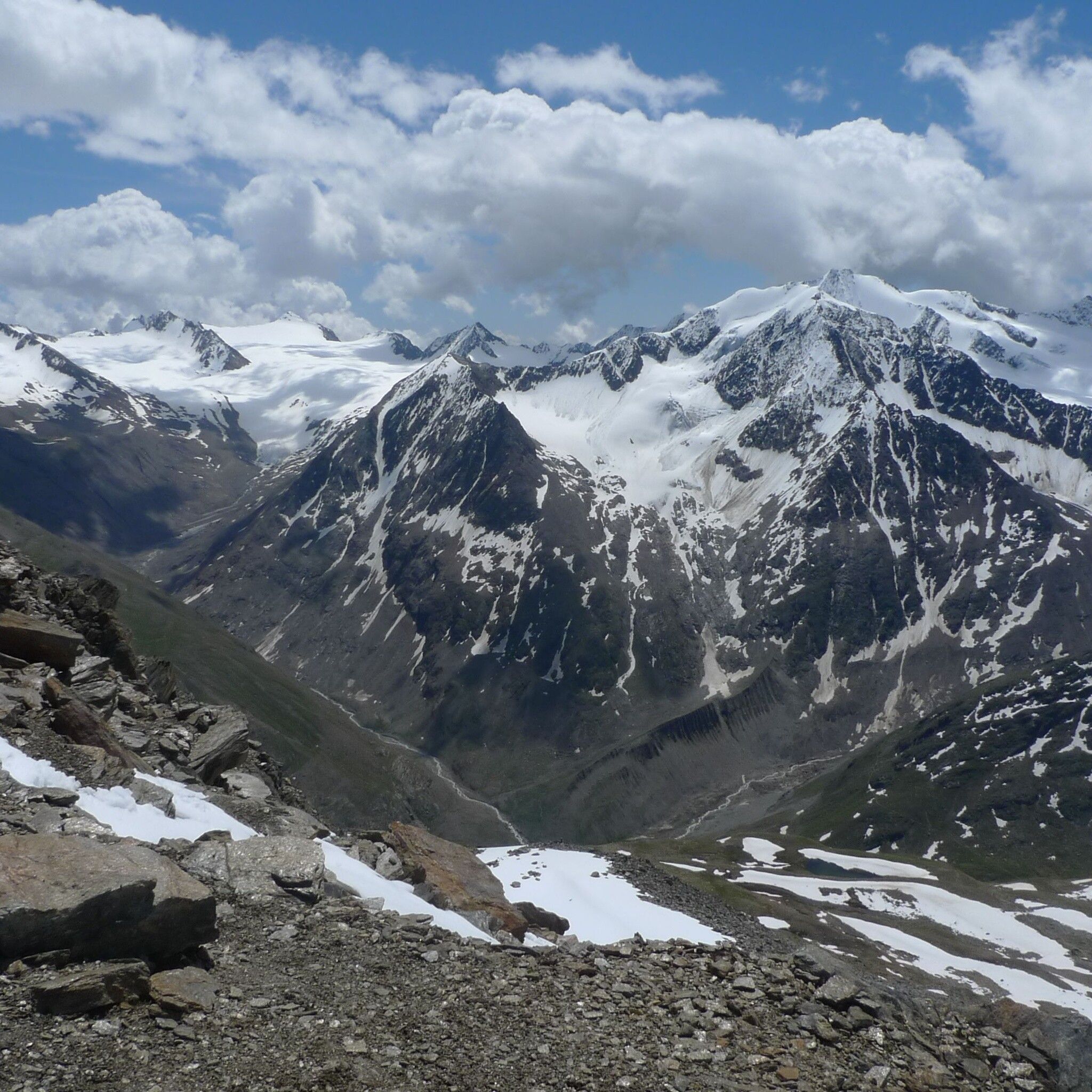
An alternative would also be to continue via the Diemweg to the Ramolhaus approx. 6–7 hours
Travel comfortably and safely by train to Ötztal train station. The final stop or exit point is ÖTZTAL station. Afterwards, you can travel conveniently and quickly by public transport or local taxi companies through the entire valley to your desired destination! The current bus timetable is available at: http://fahrplan.vvt.at
In the mountaineering village of Vent, the following parking options are available to you.
- In summer, in front of the village (parking meter, coins or EC card only) and at the valley station of the chairlift (at the ticket office of the mountain railways)
- In winter, only at the valley station of the chairlift.
Cost: €6.00 per day/car


")


