To the Parditschhof

Nauders /
Difficulty ratings: easy
Route length: 4.5 km
Duration: 2:00 h

Tour information

  • Requirement: easy
  • Length: 4.5 km
  • Duration: 2:00 h
  • Elevation uphill:304 hm
  • Elevation downhill:294 hm
Highest point1,663 m

Starting point

Pfarrkirche St. Valentin

Finishing point

Pfarrkirche St. Valentin

Features

  • Circular route
  • Suitable for families
Source: TVB Tiroler Oberland

Description

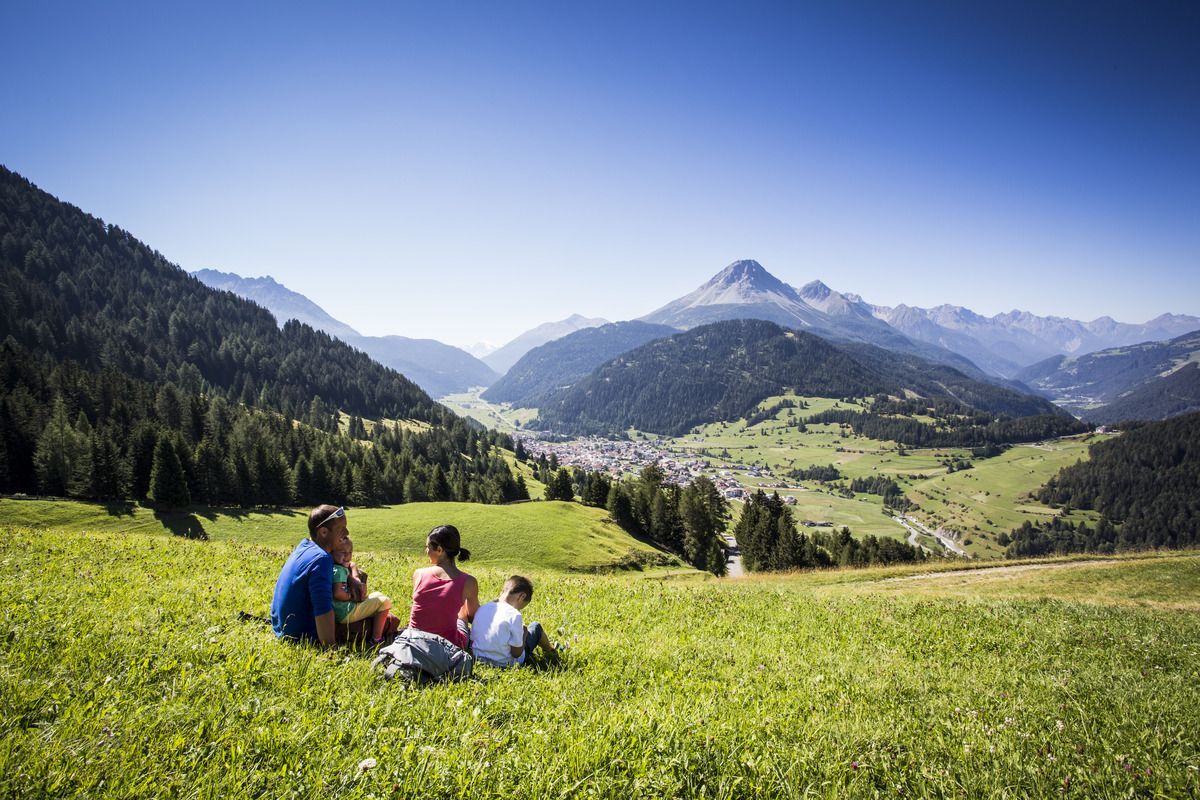
The starting point is the parish church of St. Valentine in the village centre. From there, a tarmac road (No. 14) leads to the Parditschhof (1,644 m). There are fantastic distant views to the south to the Ortler and to the southwest to the Engadine. The small mountain chapel (designed by Clemens Holzmeister) blends harmoniously into the breath-taking mountain landscape. At the designated opening times, the Berggasthof offers home-made specialties in the cosy farmhouse parlour or on the panoramic terrace. Alternatively, you can either continue towards Gamor (No. 17b) or to Labaunalm (No. 16, 14). To go back to the village, take the Mountain trail no. 14a, past a fenced pasture for animals.

Weather

Today

clear sky
14°C/2°C
0%0l0 km/h

Wed

partly Cloudy
10°C/3°C
45%0.3l5 km/h

Thu

mainly clear
10°C/1°C
0%0l5 km/h
Go to weather forecast

More tours in the surrounding area

  • Sternenweg im Gepatsch

    Difficulty:medium
    Length:4.0 kmDuration:1:30 hElevation uphill:202 m
  • Rolli-Wanderung Aifner Alm

    Difficulty:medium
    Length:6.0 kmDuration:2:30 hElevation uphill:460 m
  • Rolli-Wanderung Nassereinalm

    Difficulty:medium
    Length:5.5 kmDuration:1:45 hElevation uphill:269 m
  • Rolli-Wanderung Gepatschhaus

    Length:8.5 kmDuration:1:45 hElevation uphill:156 m
  • Rolli-Wanderung Falkaunsalm

    Difficulty:medium
    Length:4.5 kmDuration:1:45 hElevation uphill:392 m
  • Handbike Route Kaunertaler Gletscher

    Difficulty:difficult
    Length:27.5 kmDuration:4:00 hElevation uphill:1,500 m
  • Talwanderweg Kaunertal

    Difficulty:easy
    Duration:2:30 hElevation uphill:295 m
  • Kaunerberger Wasserweg

    Opening hours:open
    Difficulty:medium
    Length:15.2 kmDuration:6:00 hElevation uphill:935 m
  • Hohe Aifnerspitze (2.779 m)

    Difficulty:medium
    Length:7.2 kmDuration:5:15 hElevation uphill:815 m
  • Gletscherlehrpfad Gepatschferner

    Difficulty:medium
    Length:8.4 kmDuration:3:45 hElevation uphill:400 m
  • Radurschlklamm Gorge

    Opening hours:open
    Difficulty:medium
    Length:7.5 kmDuration:3:20 hElevation uphill:442 m
  • Rundwanderung Frudiger

    Difficulty:medium
    Length:13.5 kmDuration:4:55 hElevation uphill:588 m
  • Kapelle Maria Schnee

    Difficulty:easy
    Length:1.7 kmDuration:0:30 hElevation uphill:90 m
  • Großer Mutzkopf

    Opening hours:closed
    Difficulty:easy
    Length:10.3 kmDuration:4:00 hElevation uphill:507 m
Newsletter

The mountain is calling? So does our newsletter!

In our monthly newsletter we reveal the best holiday tips for Tyrol.