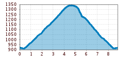
Friday: Panorama hike in Achenkirch

Achenkirch am Achensee / Karwendel
Difficulty ratings: easy
Route length: 9.0 km
Duration: 4:00 h

Tour information

  • Requirement: easy
  • Length: 9.0 km
  • Duration: 4:00 h
  • Elevation uphill:572 hm
  • Elevation downhill:0 hm
Highest point1,371 m

Starting point

Achenkirch, Information office

Finishing point

Achenkirch, Information office

Features

  • Circular route
  • Suitable for families

Best time of year

  • January
  • February
  • March
  • April
  • May
  • June
  • July
  • August
  • September
  • October
  • November
  • December

Trail condition

Gravel and forest path

Equipment

For all tours, sturdy boots (ankle-high hiking boots) are essential. Please bring weather appropriate clothing. Telescopic hiking poles are recommended. All tours require sure-footedness and an adequate fitness level.
Source: TVB Achensee

Description

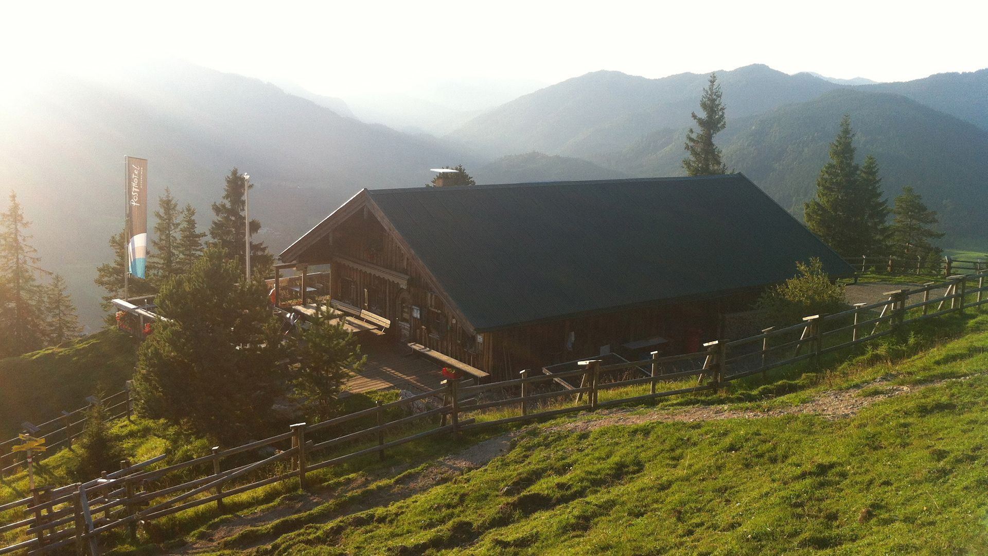
We walk from the starting point to the biomass cogeneration plant. We follow the forest path (natural toboggan run) to the Adlerhorst (1,230 metres). After a short ascent we will reach the panorama trail leading to the Zöhreralm mountain hut (1,334 metres). We will stop for refreshments at the Gourmet-Alm mountain hut and enjoy the splendid view over the valley and the lake. The driveway takes us down the valley back to the starting point.

View details.

Getting here

  • Arrival by public transport

    With the regional buses to Achenkirch, exit bus stop: Achenkirch Gemeindeamt
  • Parking

    Car park at the biomass cogeneration plant (where the hike follows, paid parking lot)

Weather

Today

partly Cloudy
10°C/1°C
10%0l10 km/h

Tue

mainly clear
15°C/0°C
10%0l10 km/h

Wed

light rain showers
11°C/3°C
70%2.2l5 km/h
Go to weather forecast

More tours in the surrounding area

  • Handbike ride Pertisau - Falzthurnalm

    Difficulty:difficult
    Length:3.3 kmDuration:1:00 hElevation uphill:105 m
  • Dalfaz Alm

    Difficulty:medium
    Length:10.5 kmDuration:4:30 hElevation uphill:840 m
  • Buchau - Gramaialm

    Difficulty:easy
    Length:32.9 kmDuration:3:00 hElevation uphill:540 m
  • Gramai Alm - Gramai Hochleger - Sonnjoch - Gramai Alm

    Difficulty:difficult
    Length:10.8 kmDuration:6:30 hElevation uphill:1,200 m
  • 465 Rund um den Guffert

    Difficulty:medium
    Length:41.0 kmDuration:6:00 hElevation uphill:990 m
  • 435 Feilkopf

    Difficulty:medium
    Length:8.3 kmDuration:2:00 hElevation uphill:580 m
  • 13 Zillertal Cycle Path

    Difficulty:easy
    Length:36.4 kmDuration:2:00 hElevation uphill:120 m
  • Rofan tour

    Difficulty:medium
    Length:30.5 kmDuration:4 daysElevation uphill:1,450 m
  • Rofan tour- stage 2 - scenic tour

    Difficulty:medium
    Length:9.3 kmDuration:3:30 hElevation uphill:370 m
  • Rofan tour - stage 1

    Difficulty:medium
    Length:5.0 kmDuration:2:00 hElevation uphill:840 m
  • Rofan tour - stage 4

    Difficulty:medium
    Length:4.1 kmDuration:1:45 h
  • Rofan tour - stage 2 - alternative summit route

    Difficulty:difficult
    Length:8.7 kmDuration:5:00 hElevation uphill:670 m
  • Steinberg - Panoramarunde

    Difficulty:easy
    Length:6.1 kmDuration:2:00 hElevation uphill:200 m
  • Guffert

    Difficulty:difficult
    Length:10.3 kmDuration:6:30 hElevation uphill:1,195 m
  • Bärenwald circuit

    Difficulty:easy
    Length:4.9 kmDuration:1:30 hElevation uphill:170 m
Newsletter

The mountain is calling? So does our newsletter!

In our monthly newsletter we reveal the best holiday tips for Tyrol.