
Arrival by public transport
Line 210, Bus stop Pfunds Dorf, walking distance to Tscheylücke: 6,9 km
Line 273, Bus stop Pfunds Stuben, walking distance to Tscheylücke: 8,1 km
Tip: There ist a hiking shuttle to the Tschey every Thursday
Hike through the Pfundser Tschey into the Platzertal to the historic mine, once home to the most important ore deposits in the Landeck district at 2,500–3,000 m elevation.
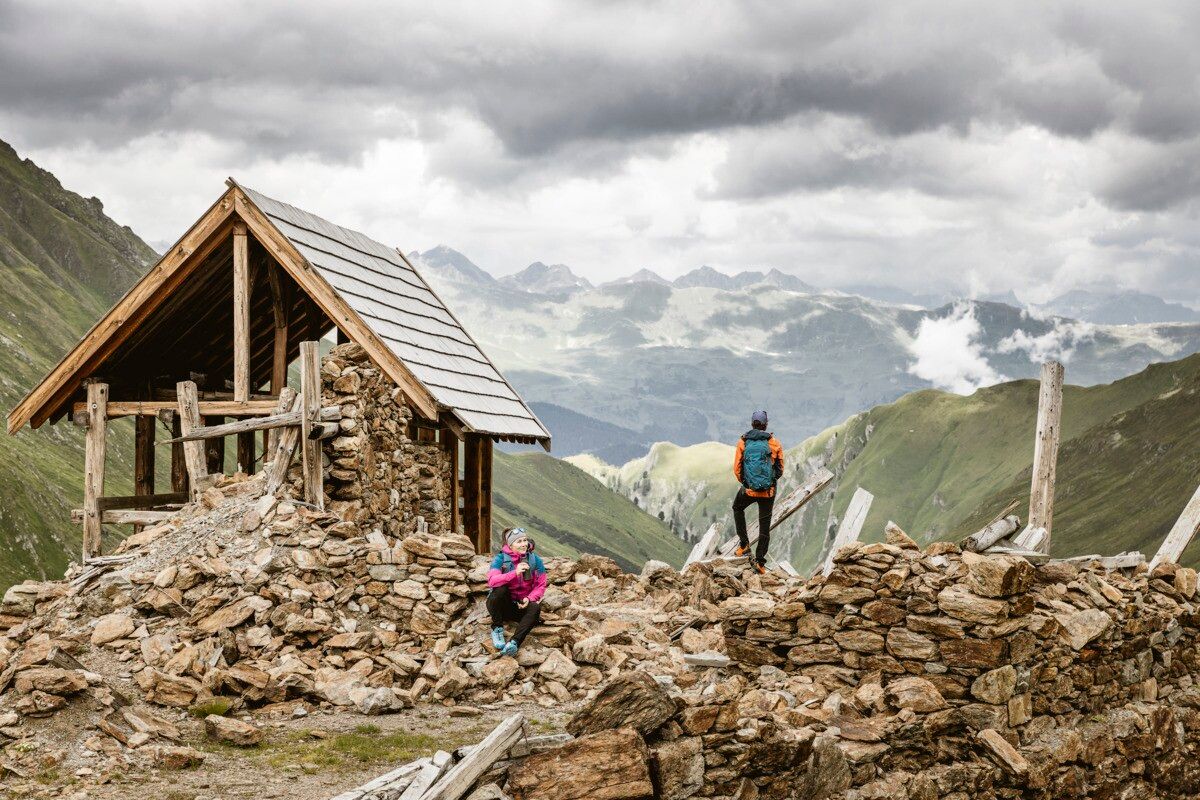
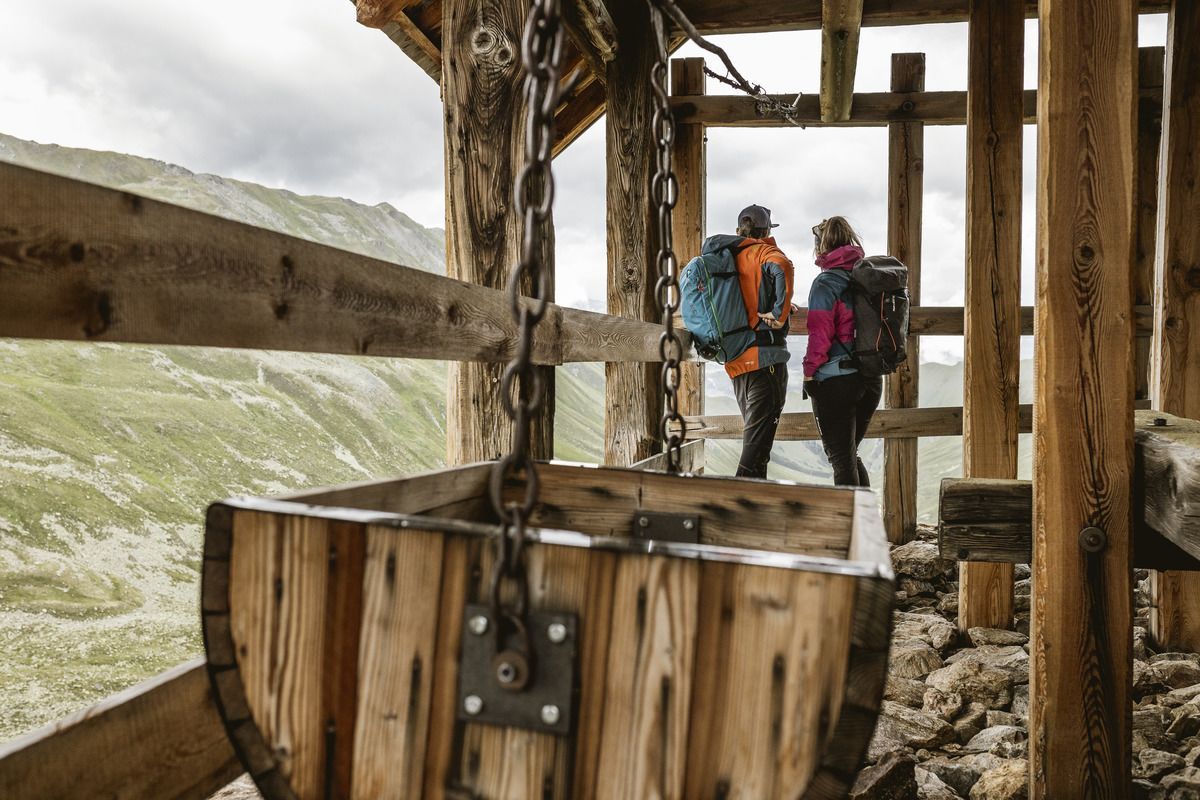
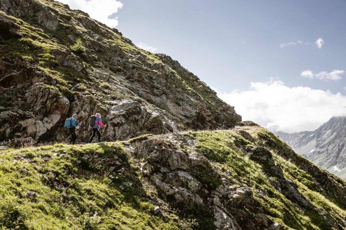
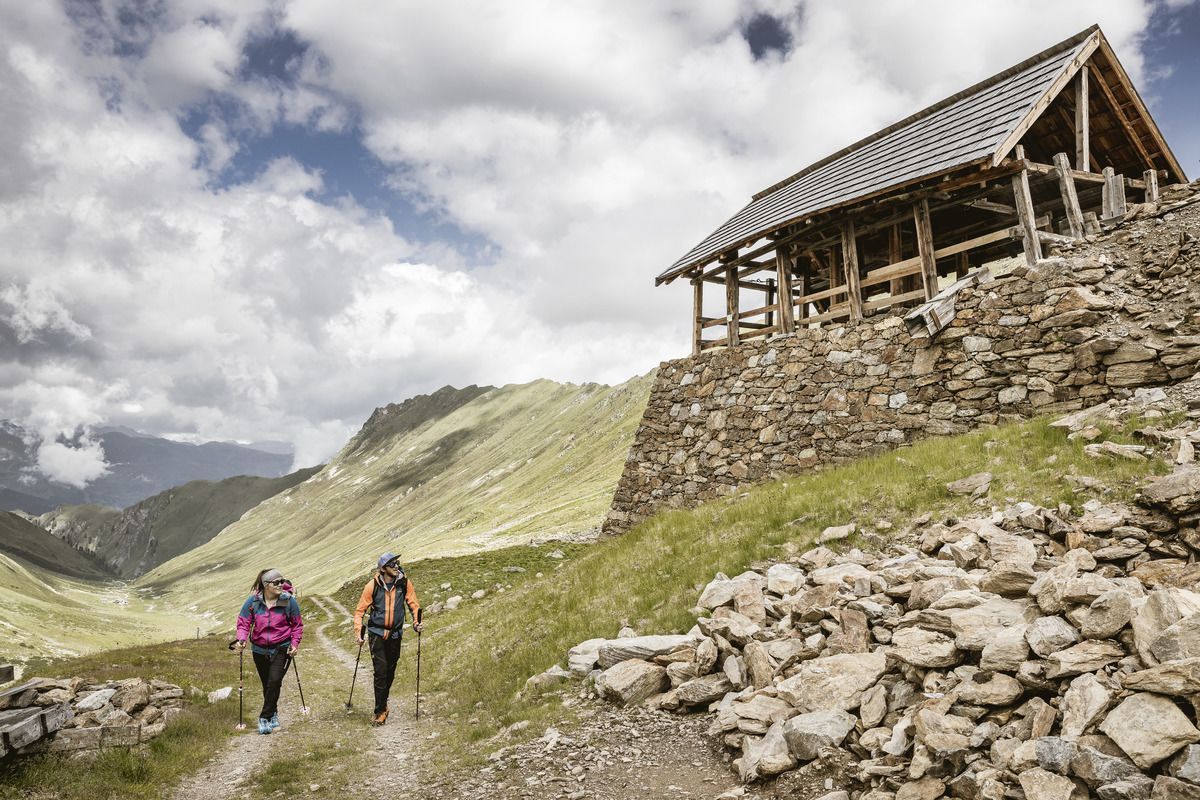
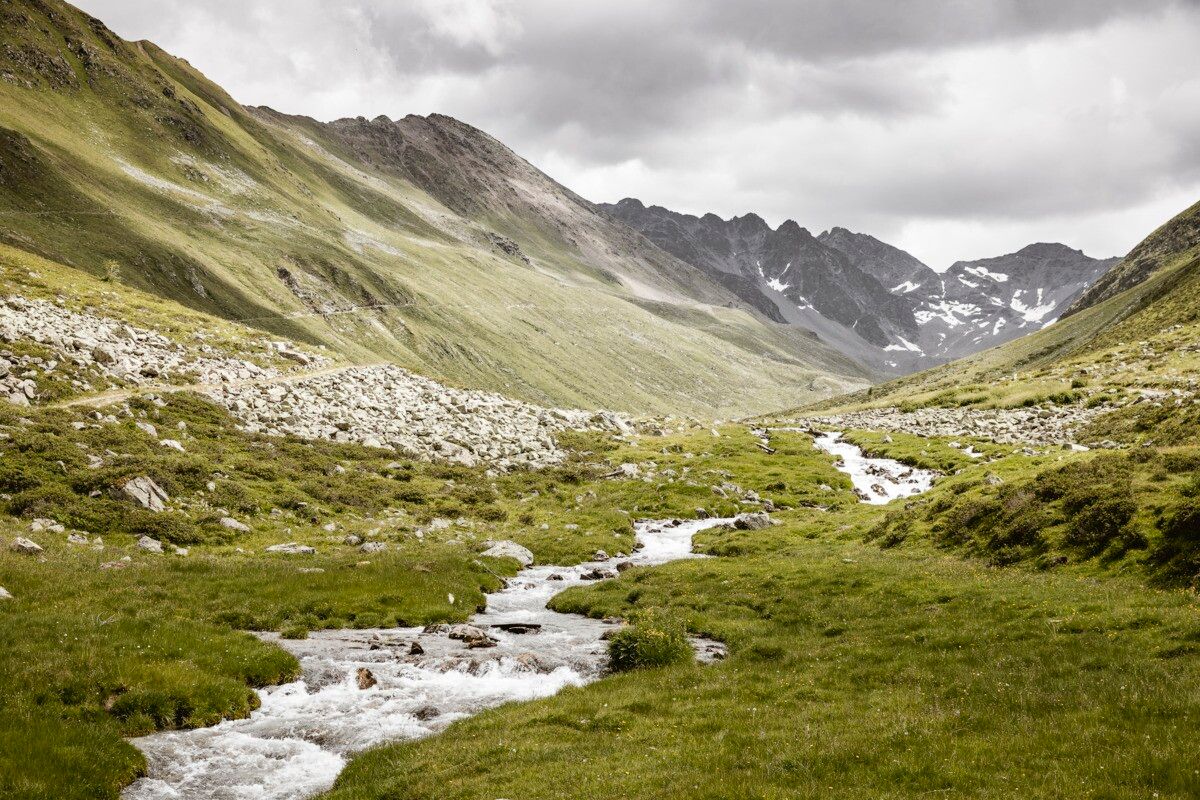
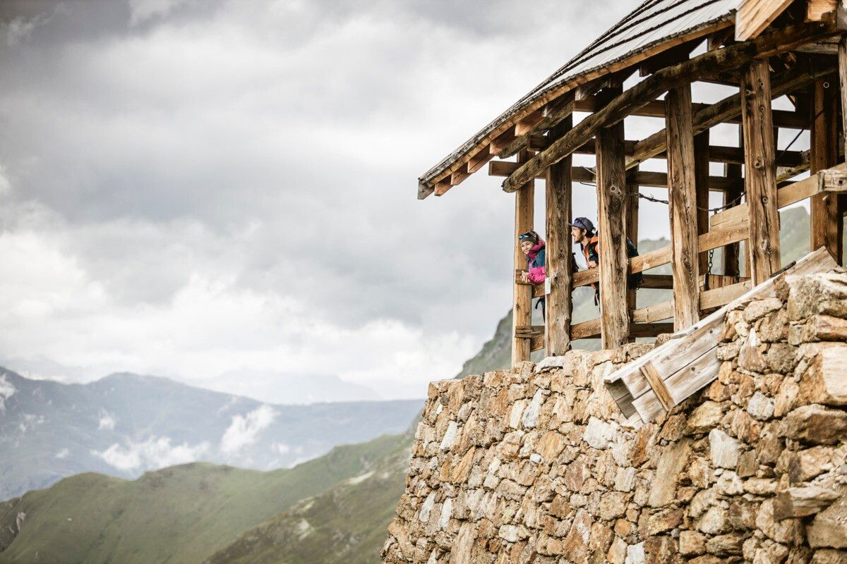
Drive from Pfunds to Greit up to the Tscheylücke. From there the path leads through the beautiful high valley past the Maria Schnee chapel to a fork in the road. Here the path branches off to the right towards Platzertal. Follow the signposting always towards Platzer Alm. Pass the dilapidated buildings of the ore and silver processing and continue to the alpine pasture. Passing the alpine pasture you continue to the probably highest mine of the Alps. Here, lead, zinc, silver and copper were mined at an altitude of almost 3,000 m.
Line 210, Bus stop Pfunds Dorf, walking distance to Tscheylücke: 6,9 km
Line 273, Bus stop Pfunds Stuben, walking distance to Tscheylücke: 8,1 km
Tip: There ist a hiking shuttle to the Tschey every Thursday
Drive from Pfunds via Greit to the parking area Tscheylücke.
Parking area Tscheylücke, free of charge


