Themed hikes Bibis Märchenwald

Ried im Oberinntal / Samnaun Group
Difficulty ratings: easy
Route length: 2.0 km
Duration: 0:45 h

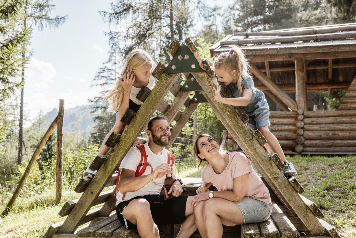
Fun, nature and adventure - a magical experience for the whole family.
Tour information

  • Requirement: easy
  • Length: 2.0 km
  • Duration: 0:45 h
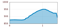
  • Elevation uphill:85 hm
  • Elevation downhill:76 hm
Highest point963 m

Starting point

Infobüro TVB | Ried im Oberinntal

Finishing point

Infobüro TVB | Ried im Oberinntal
  • Fitness level 1 / 6
  • Technique 1 / 6

Features

  • Suitable for families

Best time of year

  • January
  • February
  • March
  • April
  • May
  • June
  • July
  • August
  • September
  • October
  • November
  • December

Trail condition

Trail, Forest Road, asphalt

Equipment

We recommend equipment suitable for the tour and weather conditions, including sturdy shoes, weatherproof clothing, food, and appropriate maps.
Source: TVB Tiroler Oberland

Description

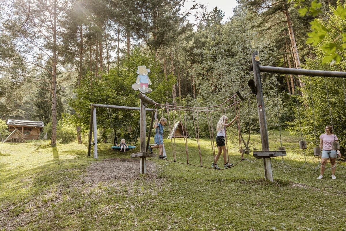
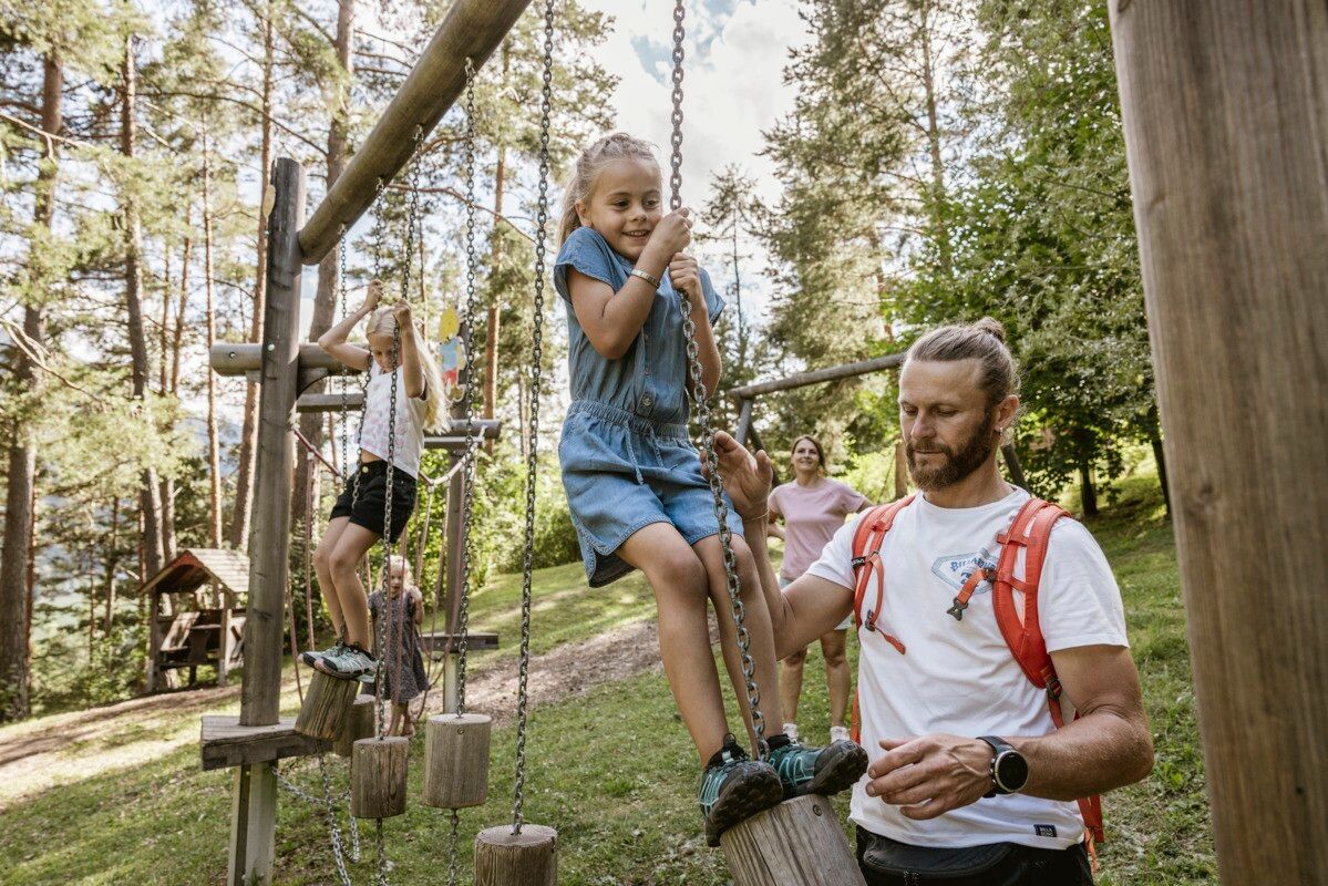
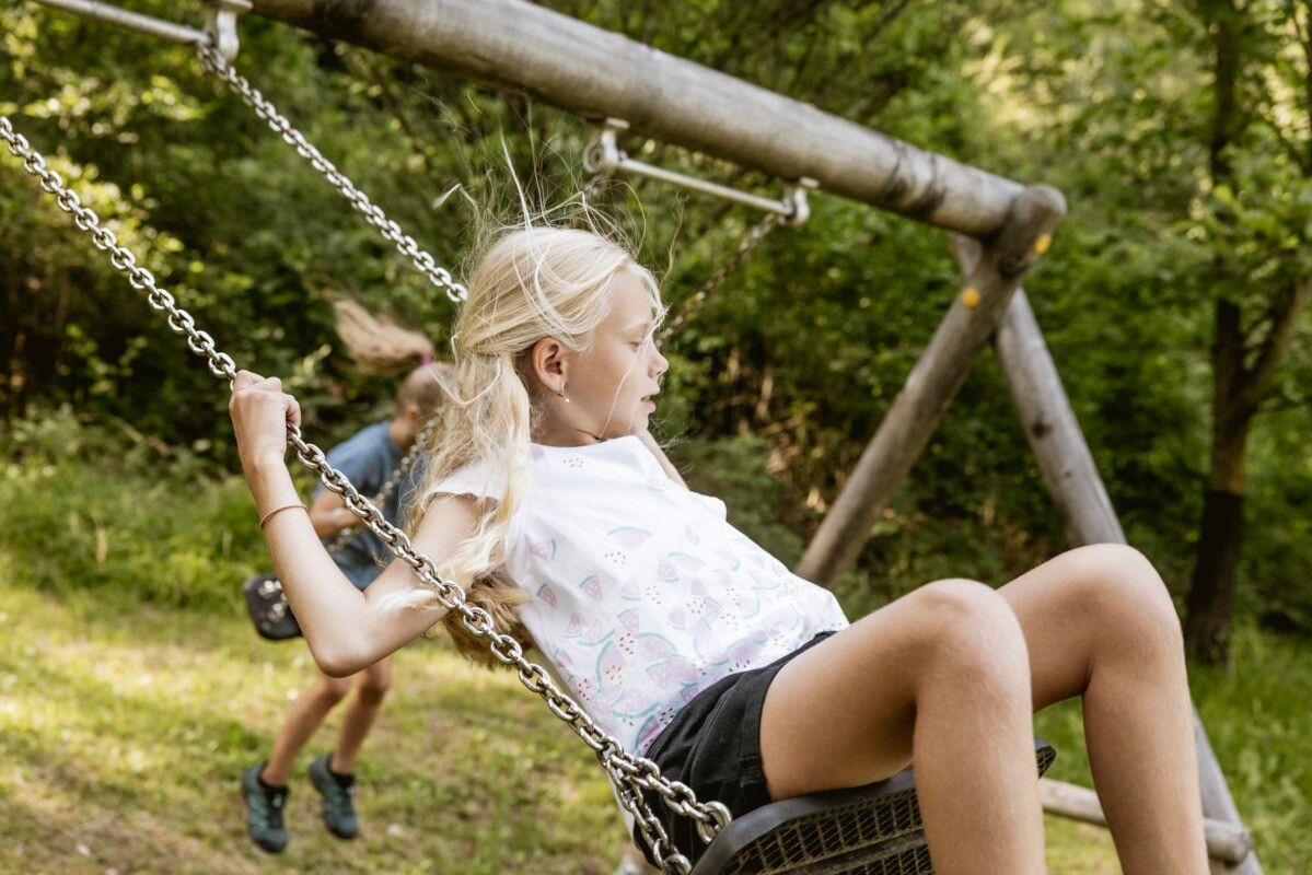
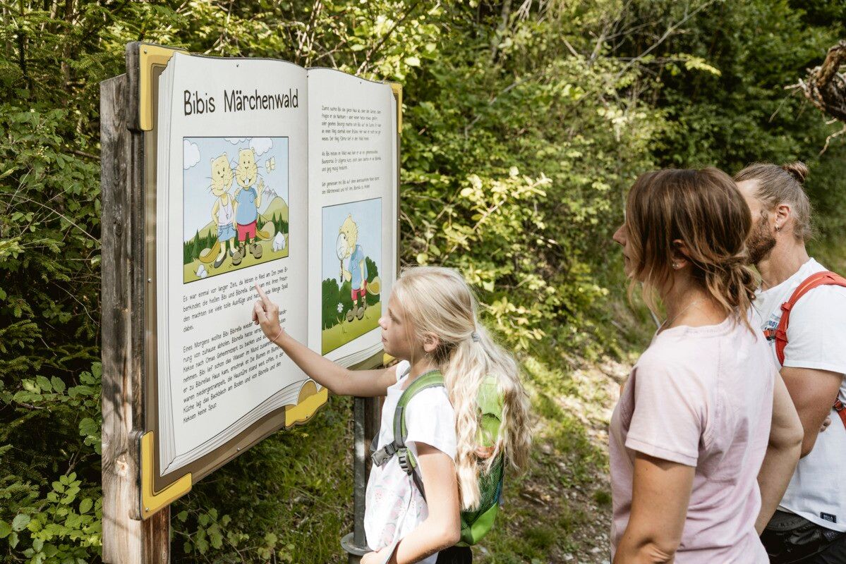
The circular route starts right in the center of Ried at the information office and follows the road towards Serfaus–Fiss–Ladis. Shortly after crossing the Inn bridge, the path branches off to the left towards Leitenbühel. Along the route, visitors playfully immerse themselves in the local flora and fauna. A total of 17 interactive knowledge and puzzle stations invite participation and discovery. The highlight at the end of the trail is the forest playground.

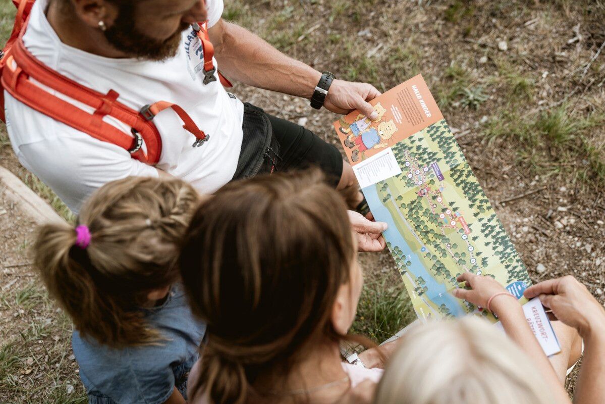
Anyone who solves all the puzzles in the puzzle booklet, available at the information offices, will receive a small gift at one of the information offices.

Getting here

  • Arrival by public transport

    Line 210, 220, Bus stop Ried i. O. Gemeindeamt, walking distance to the tourist office: 200 m

  • Parking

    parking area Badesee Ried, free of charge

Weather

Today

mainly clear
23°C/10°C
30%0.4l5 km/h

Mon

light rain showers
25°C/11°C
65%3.5l5 km/h

Tue

light rain showers
24°C/14°C
70%3.7l5 km/h
Go to weather forecast

More tours in the surrounding area

  • Verpeilschlucht

    Opening hours:open
    Difficulty:medium
    Duration:3:00 hElevation uphill:386 m
  • Talwanderweg Kaunertal

    Difficulty:easy
    Duration:2:30 hElevation uphill:295 m
  • Kaunerberger Wasserweg

    Difficulty:medium
    Length:15.2 kmDuration:6:00 hElevation uphill:935 m
  • Ötztal Trek Stage 15

    Difficulty:difficult
    Length:6.5 kmDuration:2:30 hElevation uphill:332 m
  • Gletscherlehrpfad Gepatschferner

    Difficulty:medium
    Length:8.4 kmDuration:3:45 hElevation uphill:400 m
  • Hohe Aifnerspitze (2.779 m)

    Difficulty:medium
    Length:7.2 kmDuration:5:15 hElevation uphill:815 m
  • Kapelle Maria Schnee

    Difficulty:easy
    Length:1.7 kmDuration:0:30 hElevation uphill:90 m
  • Radurschlklamm Gorge

    Opening hours:open
    Difficulty:medium
    Length:7.5 kmDuration:3:20 hElevation uphill:442 m
  • Rundwanderung Frudiger

    Difficulty:medium
    Length:13.5 kmDuration:4:55 hElevation uphill:588 m
  • Rolli-Wanderung Aifner Alm

    Difficulty:medium
    Length:6.0 kmDuration:2:30 hElevation uphill:460 m
  • Rolli-Wanderung Nassereinalm

    Difficulty:medium
    Length:5.5 kmDuration:1:45 hElevation uphill:269 m
  • Rolli-Wanderung Gepatschhaus

    Length:8.5 kmDuration:1:45 hElevation uphill:156 m
  • Rolli-Wanderung Falkaunsalm

    Difficulty:medium
    Length:4.5 kmDuration:1:45 hElevation uphill:392 m
Newsletter

The mountain is calling? So does our newsletter!

In our monthly newsletter we reveal the best holiday tips for Tyrol.