
Opening hours:Today closed
Place:Sölden
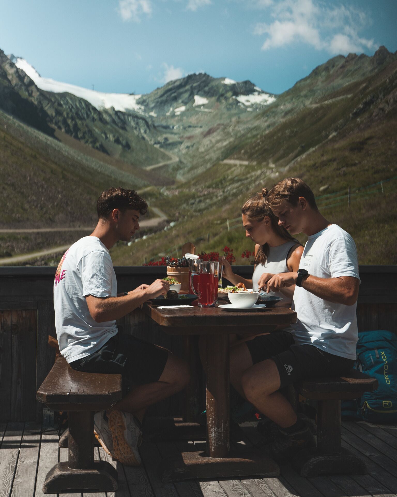
:Restaurant, Alpine pasture / hut / mountain restaurant
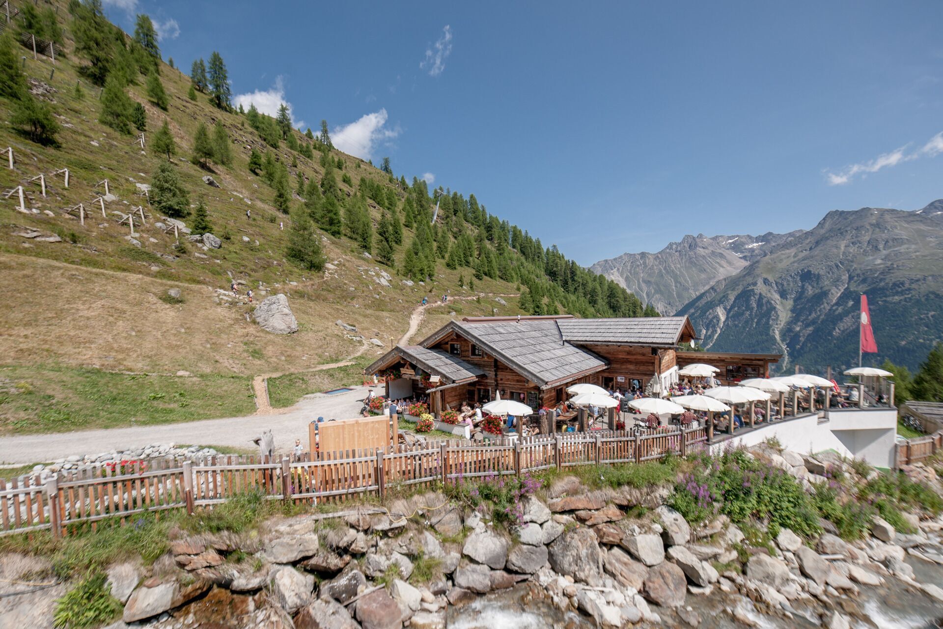
Ascent with the Giggijochbahn cable car Hike: Giggijochbahn top station - Rotkogel hut - Rettenbachalm - Sölden
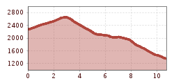
very steep descent from Rotkogel hut - Rettenbachalm, otherwise good hiking trail
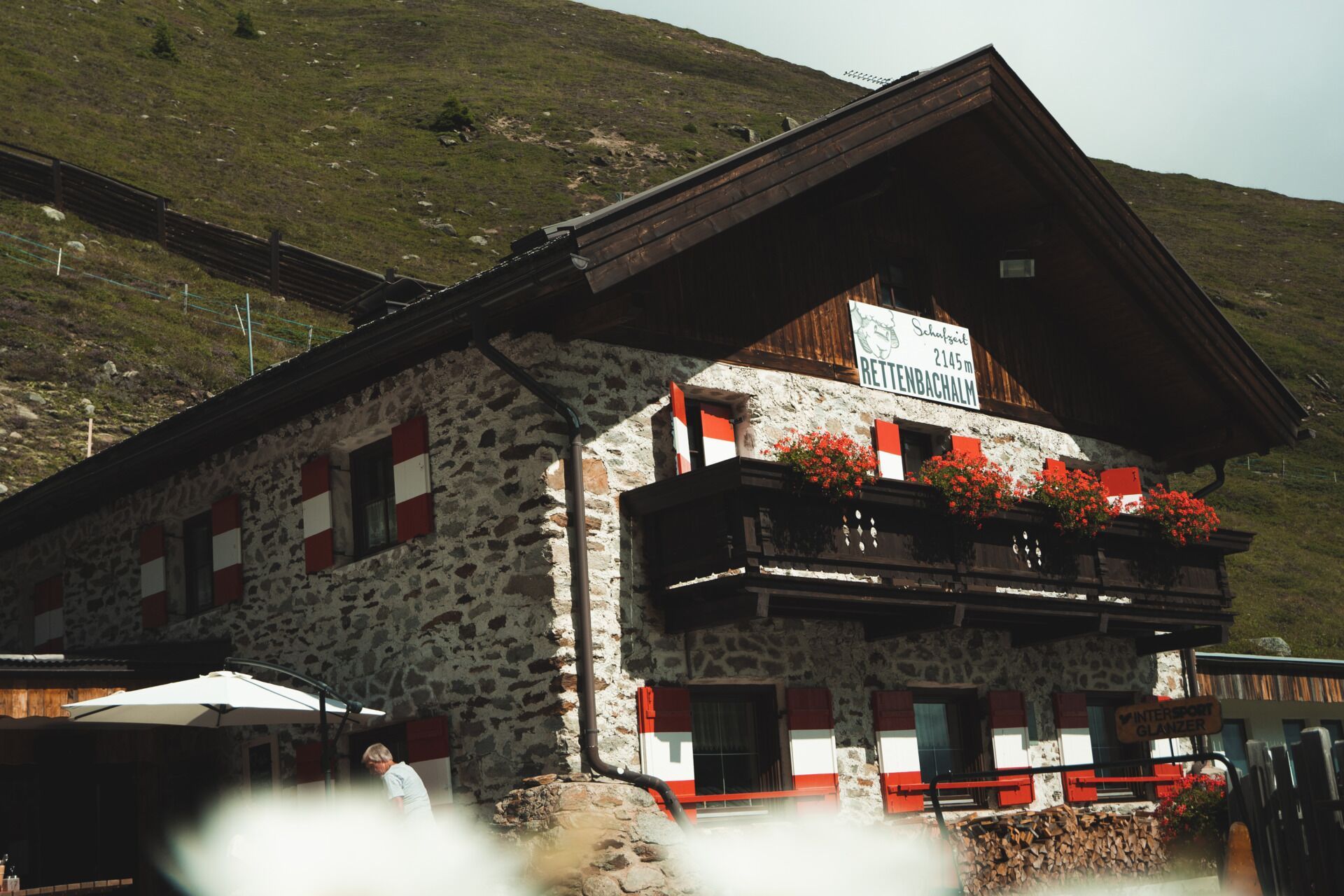
Ascent with the Giggijochbahn cable car (2,284 m) - climb to Rotkogel hut (2,660 m) - Rettenbachalm (2,145 m) - Hühnersteign (2,012 m) - descent to Sölden
Travel comfortably and safely by train to the Ötztal station. The final stop or exit point is ÖTZTAL station. Afterwards, travel conveniently and quickly with public transport or local taxi companies through the entire valley to your desired destination. The current bus timetable is available at: http://fahrplan.vvt.at
The following parking options are available in Sölden:
- Gaislachkoglbahn + underground parking garage
Parking spaces are subject to a fee.
For parking for several days (e.g. hut route):
- Gaislachkoglbahn parking garage, parking ticket either online or directly at the Gaislachkoglbahn ticket office


