Themed hikes Discovery Route - Under the Spell of Water

open
Längenfeld / Stubai Alps
Difficulty ratings: easy
Route length: 2.4 km
Duration: 1:19 h

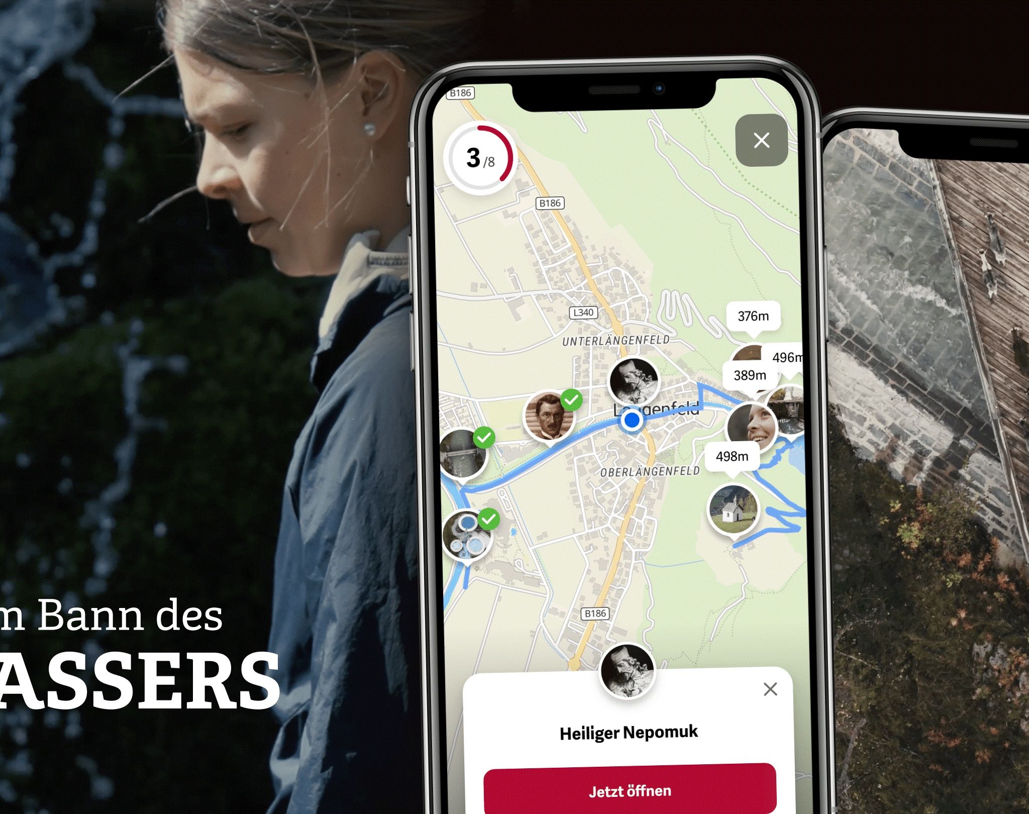
Water is life – but it can also become a threat. Along this adventure route, you dive into the history of floods in Längenfeld. You learn how the Ötztaler Ache and its tributaries have shaped the valley over centuries, which protective measures were taken, and the role faith and the community played. Let yourself be carried away by impressive stories, historical events, and modern solutions – and discover how humans are in constant interaction with nature.

Tour information

  • Requirement: easy
  • Length: 2.4 km
  • Duration: 1:19 h
  • Elevation uphill:220 hm
  • Elevation downhill:1 hm
Highest point1,385 m

Starting point

Aqua Dome Thermal Spa Längenfeld

Finishing point

Brand Alm
  • Fitness level 2 / 6

Best time of year

  • January
  • February
  • March
  • April
  • May
  • June
  • July
  • August
  • September
  • October
  • November
  • December
Source: TVB Ötztal Tourismus

Description

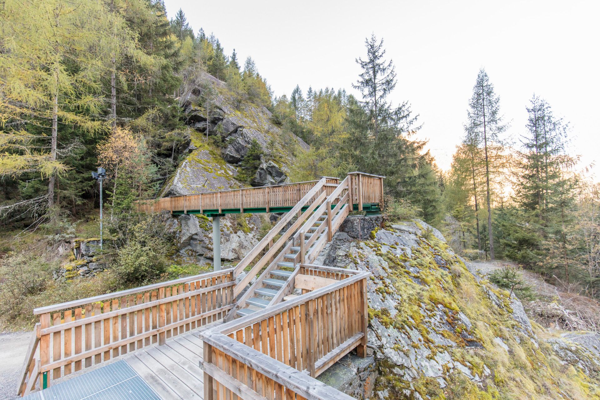
From the Aqua Dome, first follow the Ache to the Fischbach. Then continue walking along the Albin-Egger-Lienz-Promenade, cross the street, and reach the chapel. From there, the rock path leads up to the Brand Alm, where you can enjoy a magnificent panorama of Längenfeld from above.


Nearby huts and mountain restaurants

Getting here

  • Arrival by public transport

    Travel comfortably and safely by train to the Ötztal station. The final stop or exit point is ÖTZTAL station. Afterwards, travel conveniently and quickly with public transport or local taxi companies through the entire valley to your desired destination!

    The current bus timetable is available at: fahrplan.vvt.at

  • Parking

    The following parking options are available in Längenfeld:

    • Sports field Längenfeld | free of charge

More tours in the surrounding area

  • Stuibenfall hike - Umhausen

    Opening hours:open
    Difficulty:easy
    Length:2.9 kmDuration:1:45 hElevation uphill:456 m
  • Ötztal Trek Stage 6

    Difficulty:difficult
    Length:7.6 kmDuration:3:30 hElevation uphill:640 m
  • Ötztal Trek Stage 4

    Difficulty:difficult
    Length:8.9 kmDuration:4:00 hElevation uphill:802 m
  • Ötztal Trek Stage 3

    Difficulty:difficult
    Length:10.4 kmDuration:4:00 hElevation uphill:842 m
  • Ötztal Trek Stage 10

    Difficulty:difficult
    Length:11.1 kmDuration:4:30 hElevation uphill:1,476 m
  • Ötztal Trek Stage 7

    Difficulty:difficult
    Length:5.3 kmDuration:2:00 hElevation uphill:376 m
  • Ötztal Trek Stage 8

    Difficulty:difficult
    Length:9.3 kmDuration:3:30 hElevation uphill:274 m
  • Ötztal Trek

    Length:246.4 kmDuration:84:25 hElevation uphill:18,910 m
  • Ötztal Trek Stage 1

    Difficulty:medium
    Length:18.6 kmDuration:6:30 hElevation uphill:1,561 m
  • Ötztal Trek Stage 17

    Difficulty:difficult
    Length:16.4 kmDuration:6:00 hElevation uphill:1,080 m
  • Ötztal Trek Stage 14

    Difficulty:difficult
    Length:6.3 kmDuration:3:00 hElevation uphill:1,004 m
  • Ötztal Trek Stage 16

    Difficulty:difficult
    Length:6.9 kmDuration:2:30 hElevation uphill:358 m
  • Ötztal Trek Stage 20

    Opening hours:closed
    Difficulty:medium
    Length:6.4 kmDuration:3:00 hElevation uphill:610 m
  • Ötztal Trek Stage 12

    Difficulty:difficult
    Length:4.8 kmDuration:2:00 hElevation uphill:592 m
  • Ötztal Trek Stage 11

    Difficulty:difficult
    Length:12.0 kmDuration:5:00 hElevation uphill:705 m
  • Ötztal Trek Stage 5

    Difficulty:difficult
    Length:8.1 kmDuration:3:30 hElevation uphill:1,125 m
  • Ötztaler Urweg

    Length:189.1 kmDuration:72:19 hElevation uphill:9,428 m
  • Ötztal Trek Stage 22

    Difficulty:difficult
    Length:21.5 kmDuration:8:00 hElevation uphill:647 m
  • Ötztal Trek Stage 21

    Difficulty:difficult
    Length:9.4 kmDuration:4:30 hElevation uphill:1,270 m
Newsletter

The mountain is calling? So does our newsletter!

In our monthly newsletter we reveal the best holiday tips for Tyrol.