Mountain hikes Edelweißsteig

open
Nauders / Ötztal Alps
Difficulty ratings: medium
Route length: 17.0 km
Duration: 7:00 h

Edelweißsteig

Tour information

  • Requirement: medium
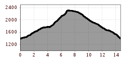
  • Length: 17.0 km
  • Duration: 7:00 h
  • Elevation uphill:1,027 hm
  • Elevation downhill:1,004 hm
Highest point2,310 m

Starting point

Pfarrkirche St. Valentin

Finishing point

Pfarrkirche St. Valentin

Features

  • Circular route

Equipment

- feste Trekking- oder Bergschuhe mit Gummiprofilsohle - Kleidung angepasst an Temperatur: kurze Hose, Funktionsshirt und Kopfbedenkung bei Sonnenschein, Anorak mit Kapuze, Überhose oder lange Hose, Regenschutz, Mütze & Handschuhe, - Teleskopstöcke, evtl. Klettergurt - Tagesrucksack mit Trinkflasche, Proviant und Sonnenschutz - Kamera, Fernglas, Handy, Erste Hilfe
Source: TVB Tiroler Oberland

Description

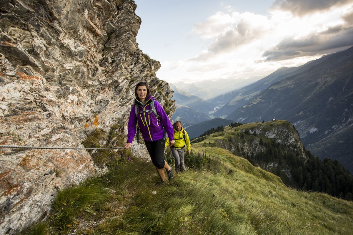
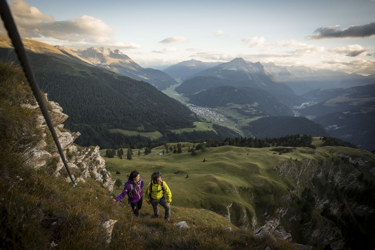
For many, edelweiss is the epitome of the Alps, for others a legendary mystery. The Edelweisssteig, with the sign of the royal alpine flower, leads experienced mountaineers from the Bazahler Kopf (2,160 m) to the Fluchtwand and promises an impressive mountain panorama.  Starting from the parish church in the centre of Nauders, Trail no. 14 leads towards Parditschhof. From there it goes on Route no. 16 through the Valdigastei, past the Bazahler peaks, to the entrance of the Edelweisssteig (No. 15 b) at approx. 2,200 m. The trail marked black is only suitable for experienced mountain hikers. It is secured with a steel cable and stirrups and leads over the edge of the mountain up to the Fluchtwand at 2,328 m. A head for heights and being sure-footed are essential. A simpler alternative is the red (intermediate) Mountain trail no. 15a. The way back is via Trail no. 15 to Labaunalm and past the Parditschhof back to Nauders (No. 14 or 14a).

Weather

Today

partly Cloudy
16°C/6°C
50%0.2l5 km/h

Sat

clear sky
19°C/4°C
0%0l5 km/h

Sun

mainly clear
19°C/6°C
20%0.3l5 km/h
Go to weather forecast

More tours in the surrounding area

  • Gletscherlehrpfad Gepatschferner

    Difficulty:medium
    Length:8.4 kmDuration:3:45 hElevation uphill:400 m
  • Hohe Aifnerspitze (2.779 m)

    Difficulty:medium
    Length:7.2 kmDuration:5:15 hElevation uphill:815 m
  • Kapelle Maria Schnee

    Difficulty:easy
    Length:1.7 kmDuration:0:30 hElevation uphill:90 m
  • Radurschlklamm Gorge

    Opening hours:open
    Difficulty:medium
    Length:7.5 kmDuration:3:20 hElevation uphill:442 m
  • Rundwanderung Frudiger

    Difficulty:medium
    Length:13.5 kmDuration:4:55 hElevation uphill:588 m
  • Verpeilschlucht

    Opening hours:open
    Difficulty:medium
    Duration:3:00 hElevation uphill:386 m
  • Großer Mutzkopf

    Opening hours:closed
    Difficulty:easy
    Length:10.3 kmDuration:4:00 hElevation uphill:507 m
  • Rolli-Wanderung Aifner Alm

    Difficulty:medium
    Length:6.0 kmDuration:2:30 hElevation uphill:460 m
  • Rolli-Wanderung Nassereinalm

    Difficulty:medium
    Length:5.5 kmDuration:1:45 hElevation uphill:269 m
  • Rolli-Wanderung Gepatschhaus

    Length:8.5 kmDuration:1:45 hElevation uphill:156 m
  • Rolli-Wanderung Falkaunsalm

    Difficulty:medium
    Length:4.5 kmDuration:1:45 hElevation uphill:392 m
  • Talwanderweg Kaunertal

    Difficulty:easy
    Duration:2:30 hElevation uphill:295 m
  • Kaunerberger Wasserweg

    Opening hours:closed
    Difficulty:medium
    Length:15.2 kmDuration:6:00 hElevation uphill:935 m
  • Ötztal Trek Stage 15

    Difficulty:difficult
    Length:6.5 kmDuration:2:30 hElevation uphill:332 m
Newsletter

The mountain is calling? So does our newsletter!

In our monthly newsletter we reveal the best holiday tips for Tyrol.