Long-distance hike ET7 | Alpina Antica Trail

Kirchberg in Tirol / Kitzbühel Alps
Difficulty ratings: difficult
Route length: 14.7 km
Duration: 5:15 h

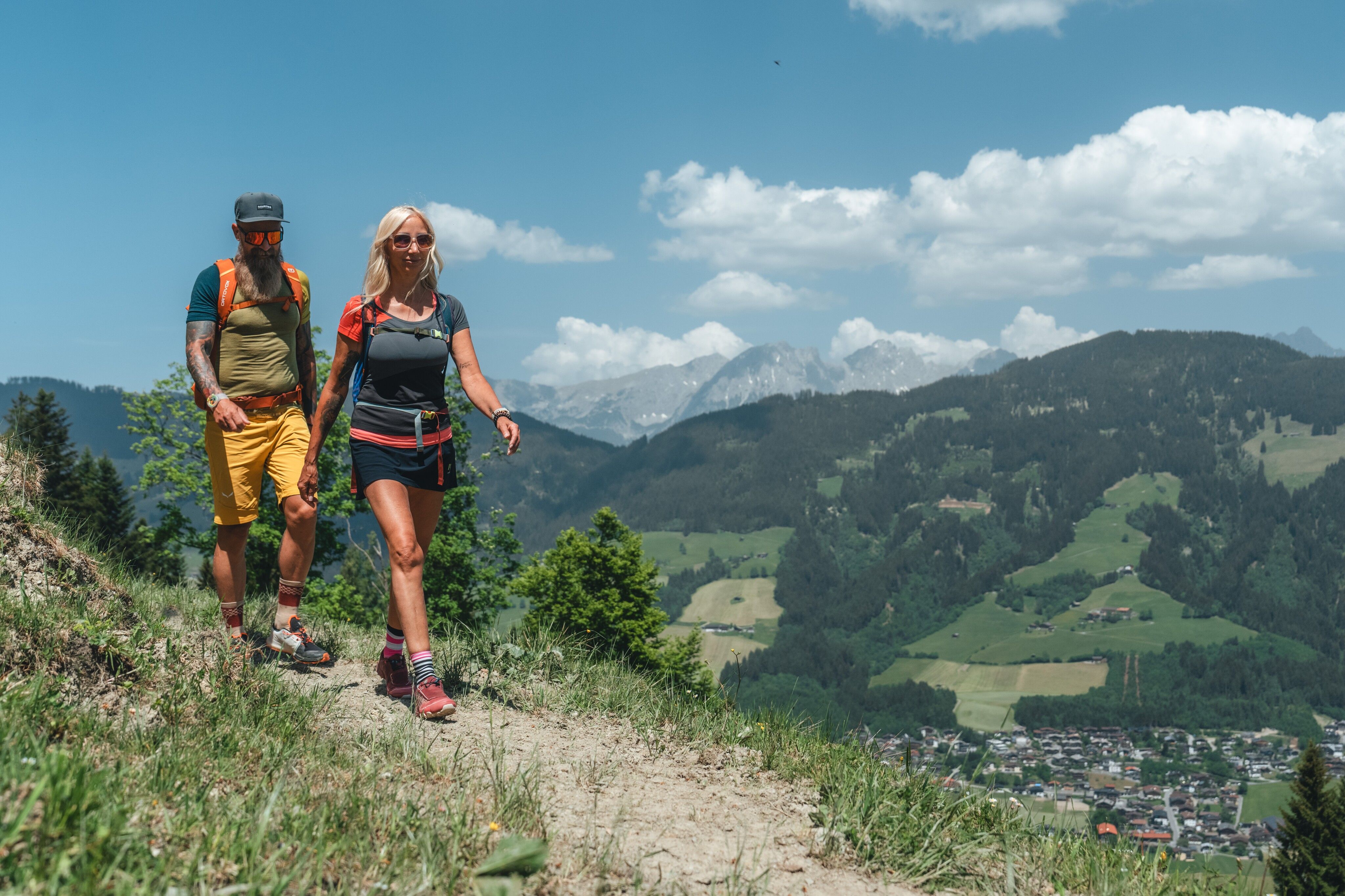
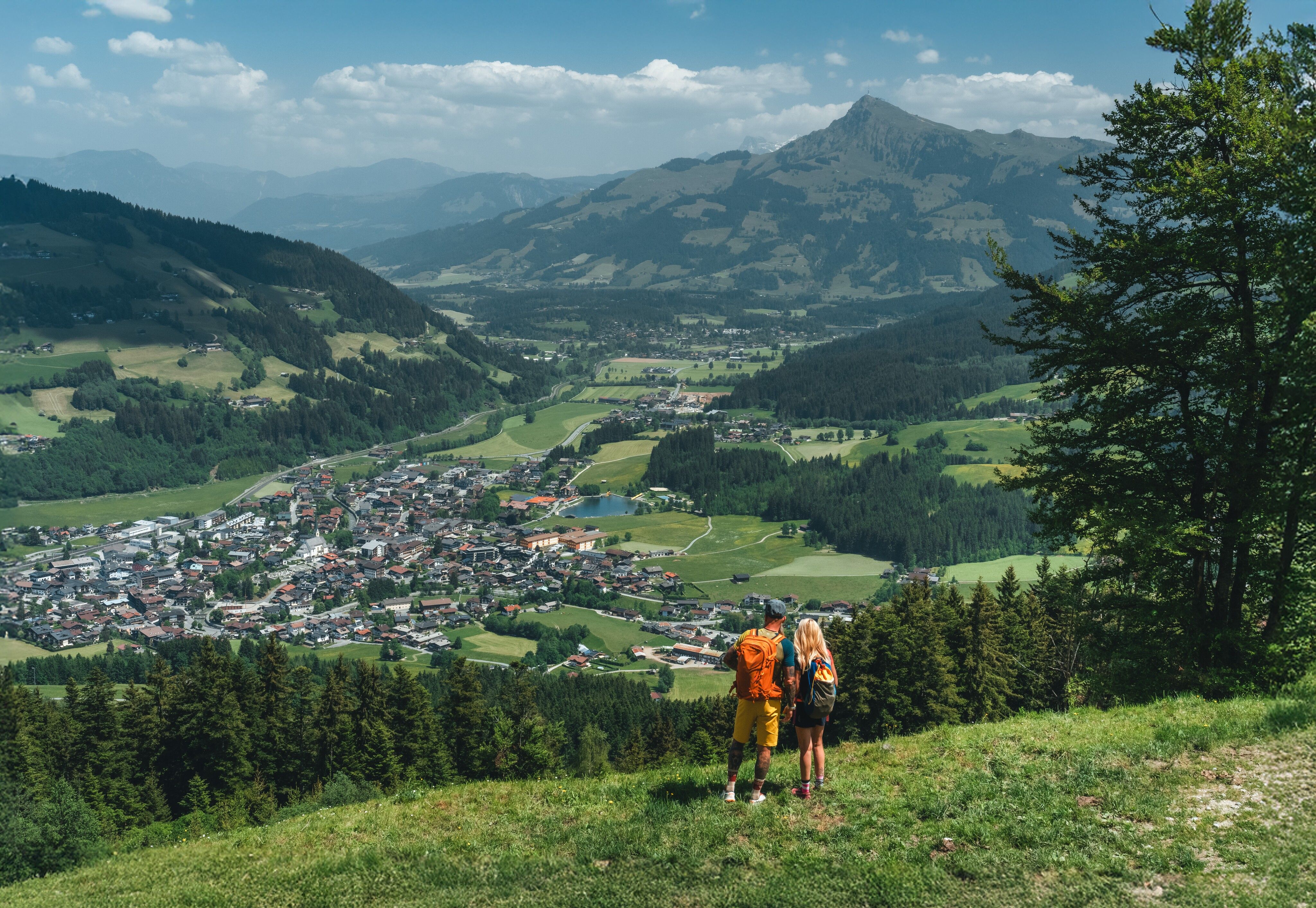
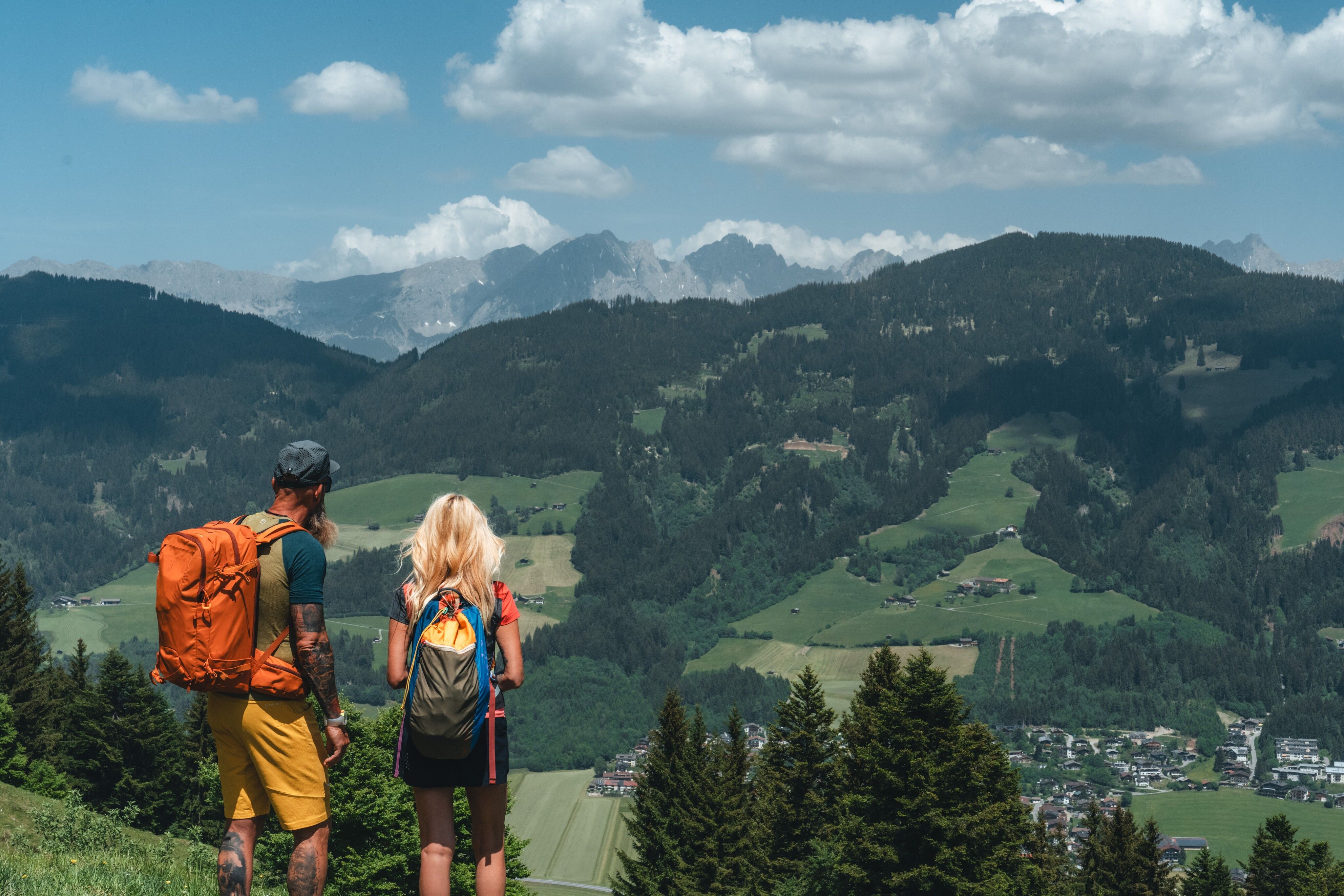
From alpine pasture to alpine pasture from the mountain village of Kirchberg in Tirol to Aschau at the head of the Spertental valley!
Tour information

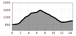
  • Requirement: difficult
  • Length: 14.7 km
  • Duration: 5:15 h
  • Elevation uphill:893 hm
  • Elevation downhill:702 hm
Highest point1,619 m

Starting point

Kirchberg in Tirol

Finishing point

Aschau bei Kirchberg
  • Fitness level 5 / 6
  • Technique 4 / 6

Features

  • Multi-day hike

Best time of year

  • January
  • February
  • March
  • April
  • May
  • June
  • July
  • August
  • September
  • October
  • November
  • December

Trail condition

Mountain hiking trail, gravel road, asphalt road

Equipment

Mountain boots, weather protection, provisions, first aid kit
Source: Kitzbüheler Alpen Management GmbH

Description

Unless tax collectors were levying high tolls for certain routes or busy paths were threatened by bands of robbers, most pack animal routes led through valley systems and avoided mountains as much as possible – unless the valley floors were difficult to pass due to rivers or dense vegetation. In the case of this stage, the pack animal drivers of yesteryear probably preferred the valley floor of the Spertental to reach the Pinzgau via Aschau and the Stangenjoch. We hope to be forgiven for leading you steeply up into the alpine pasture regions high above the Spertental in this instance, only to descend back to the valley floor later and finally hike along the classic pack animal route to Aschau at the very end. Because one thing, fortunately, is different today: we all hike for the sake of enjoyment – and there is plenty of that to be found on the alpine pastures of this stage, both in terms of scenery and culinary delights!

Nearby huts and mountain restaurants

Getting here

Weather

Today

mainly clear
23°C/9°C
65%2.1l5 km/h

Mon

light rain showers
18°C/7°C
60%1.1l10 km/h

Tue

mainly clear
17°C/5°C
15%0l10 km/h
Go to weather forecast

More tours in the surrounding area

  • The Wiegalm

    Difficulty:medium
    Length:10.5 kmDuration:4:45 hElevation uphill:680 m
  • Koasa Trail Stage 2

    Difficulty:medium
    Length:11.8 kmDuration:7:15 hElevation uphill:1,078 m
  • Koasa Trail Stage 3

    Difficulty:medium
    Length:19.9 kmDuration:7:10 hElevation uphill:730 m
  • Koasa Trail Stage 5

    Difficulty:medium
    Length:14.0 kmDuration:6:45 hElevation uphill:935 m
  • Kaiserkrone - stage 5

    Difficulty:medium
    Length:10.8 kmDuration:5:15 hElevation uphill:840 m
  • Kaiserkrone - stage 4

    Difficulty:medium
    Length:16.1 kmDuration:6:30 hElevation uphill:640 m
  • Koasa Trail Stage 1

    Difficulty:medium
    Length:16.9 kmDuration:6:45 hElevation uphill:937 m
  • Koasa Trail Stage 4

    Difficulty:medium
    Length:20.6 kmDuration:7:35 hElevation uphill:923 m
  • Alpine Outdoor Gallery

    Difficulty:easy
    Length:6.7 kmDuration:2:00 hElevation uphill:117 m
  • Schafsiedel

    Difficulty:medium
    Length:15.6 kmDuration:7:00 hElevation uphill:1,280 m
  • Bichlachrunde

    Difficulty:easy
    Length:10.5 kmDuration:3:30 hElevation uphill:295 m
  • Brechhorn

    Difficulty:medium
    Length:11.8 kmDuration:5:00 hElevation uphill:600 m
  • Angerer Alm

    Difficulty:medium
    Length:5.7 kmDuration:2:45 hElevation uphill:652 m
Newsletter

The mountain is calling? So does our newsletter!

In our monthly newsletter we reveal the best holiday tips for Tyrol.