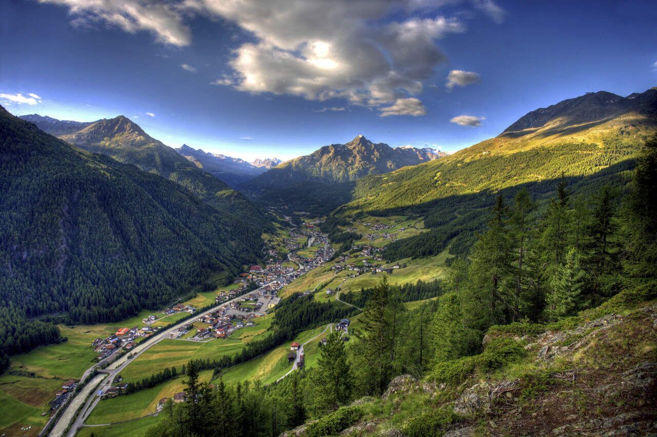
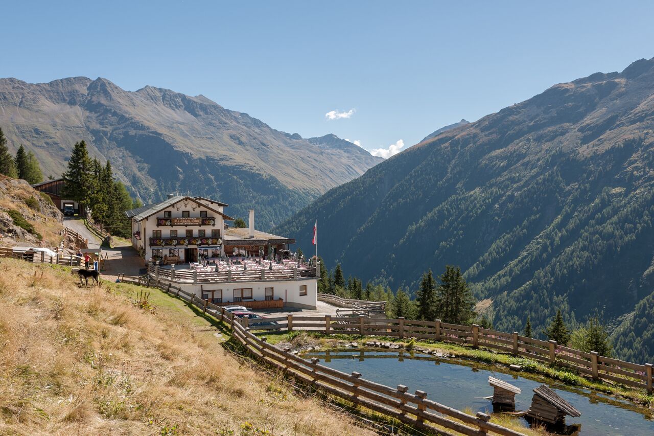
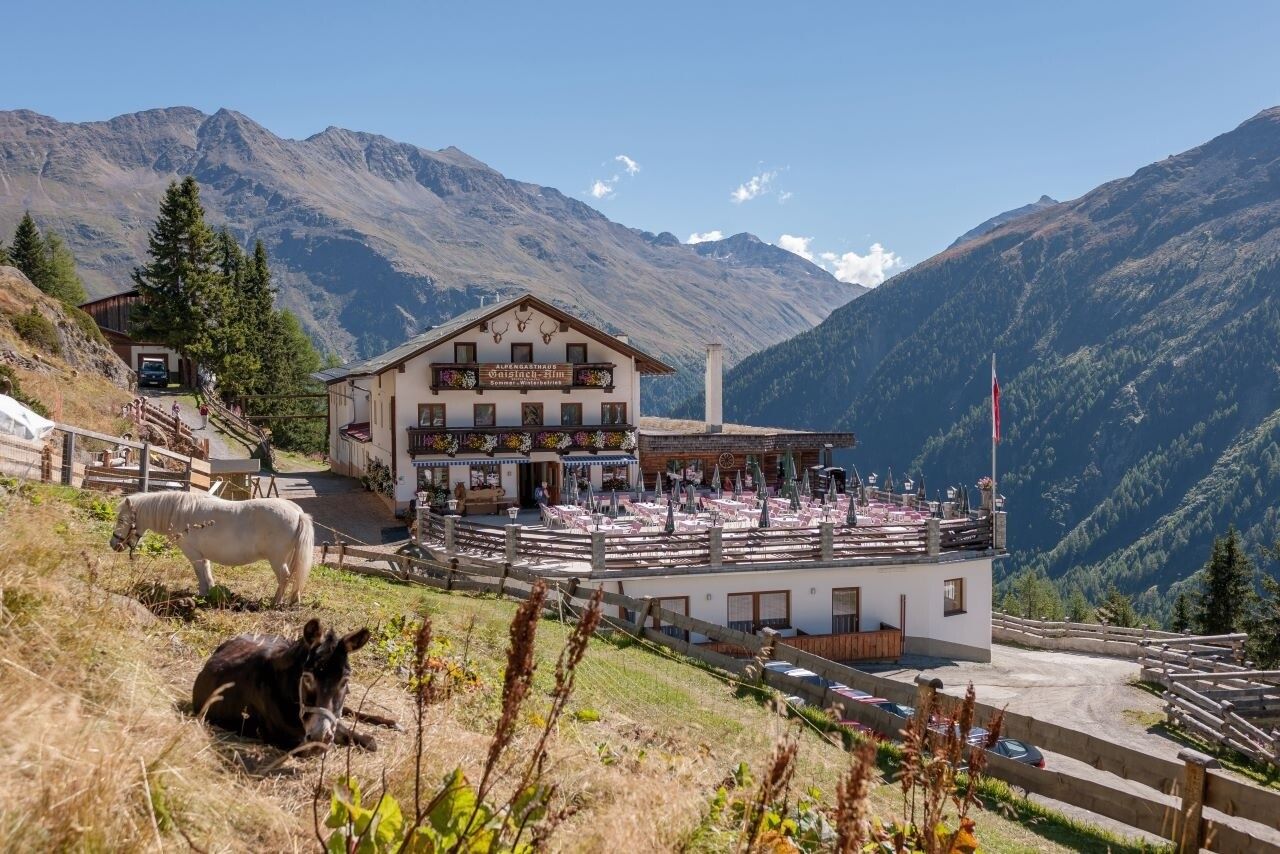
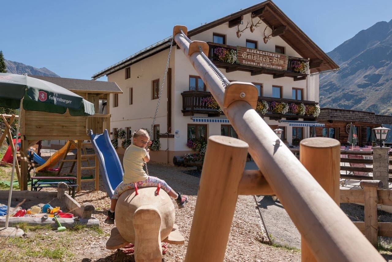
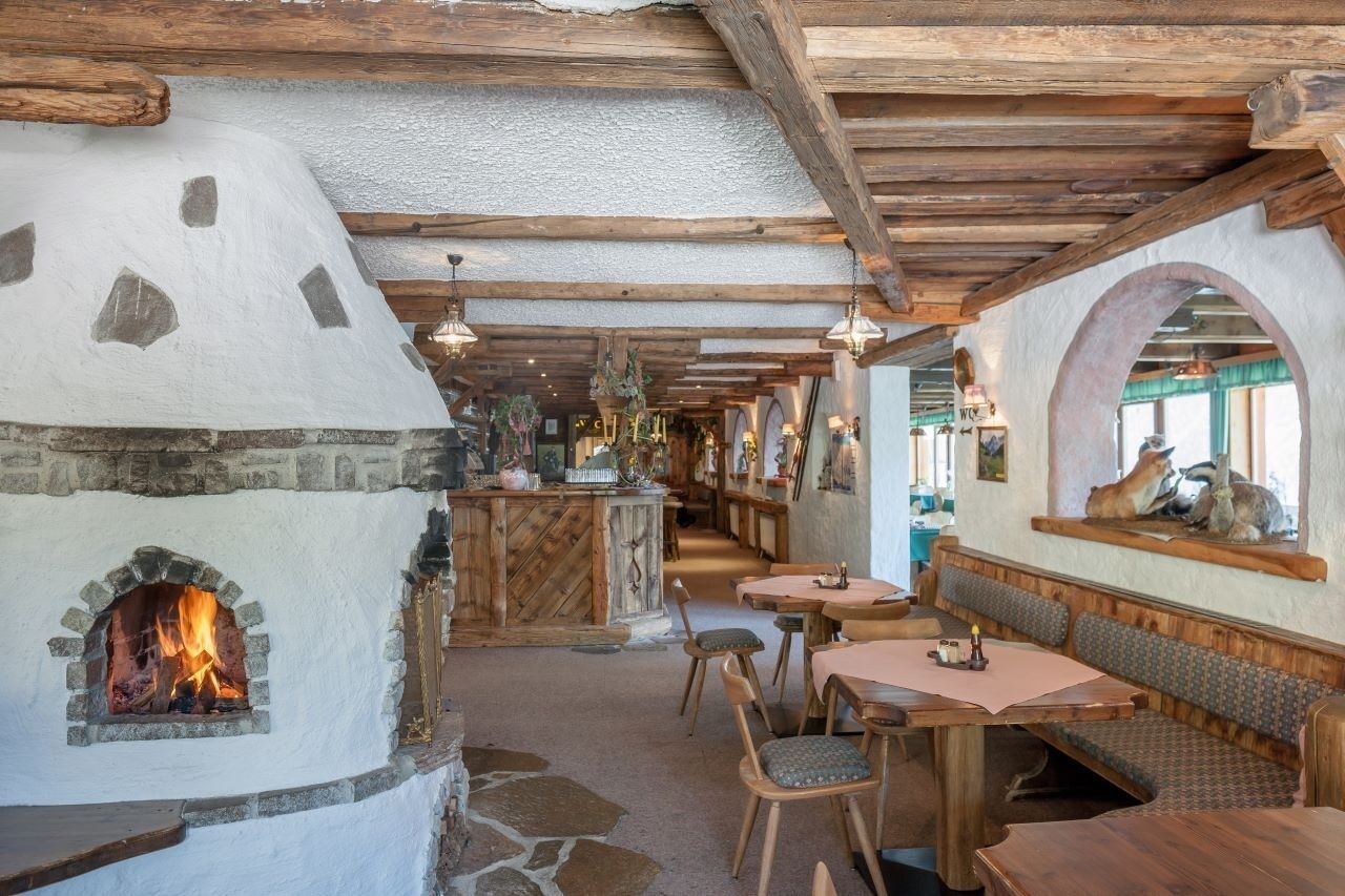
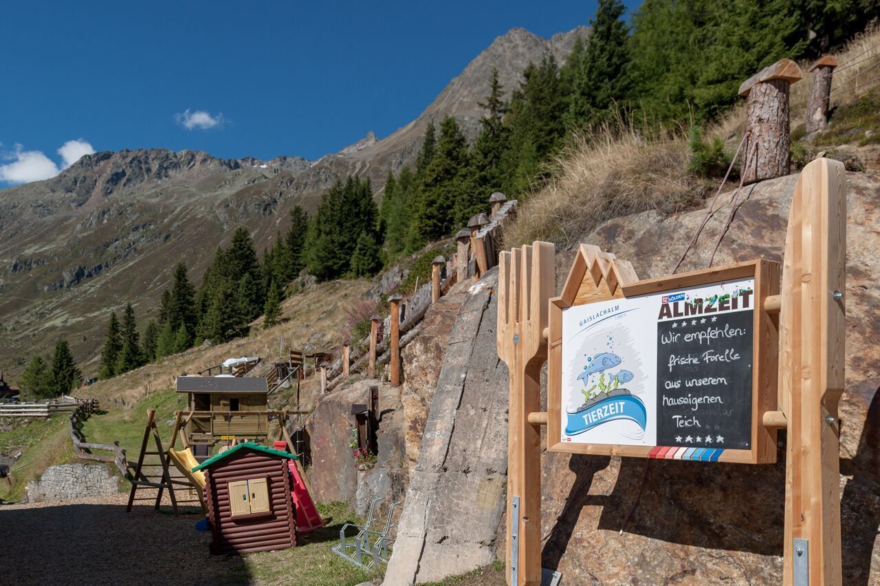
Mountain hikes Gaislachalm

Sölden / Ötztaler Alpen
Difficulty ratings: medium
Route length: 5.1 km
Duration: 2:00 h

SÖLDEN -> GAISLACHALM -> SÖLDEN

Tour information

  • Requirement: medium
  • Length: 5.1 km
  • Duration: 2:00 h
  • Elevation uphill:591 hm
Highest point1,968 m

Starting point

Sölden

Finishing point

Gaislachalm
  • Fitness level 3 / 6

Best time of year

  • January
  • February
  • March
  • April
  • May
  • June
  • July
  • August
  • September
  • October
  • November
  • December

Equipment

Easy hiking trail: suitable for beginners and walkers.Please note the current weather report at: www.oetztal.com/de/sommer.html 

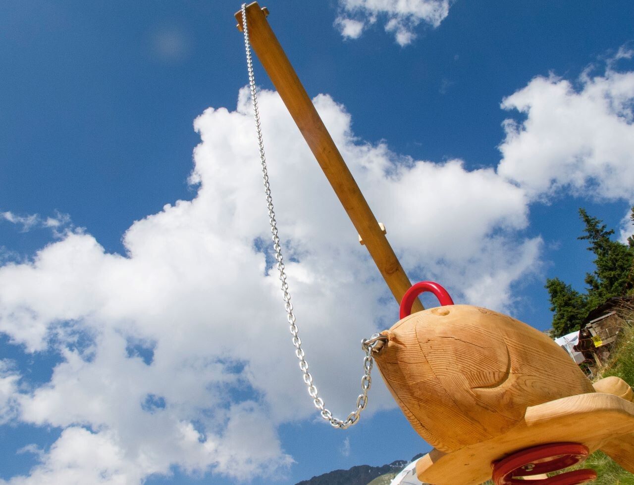
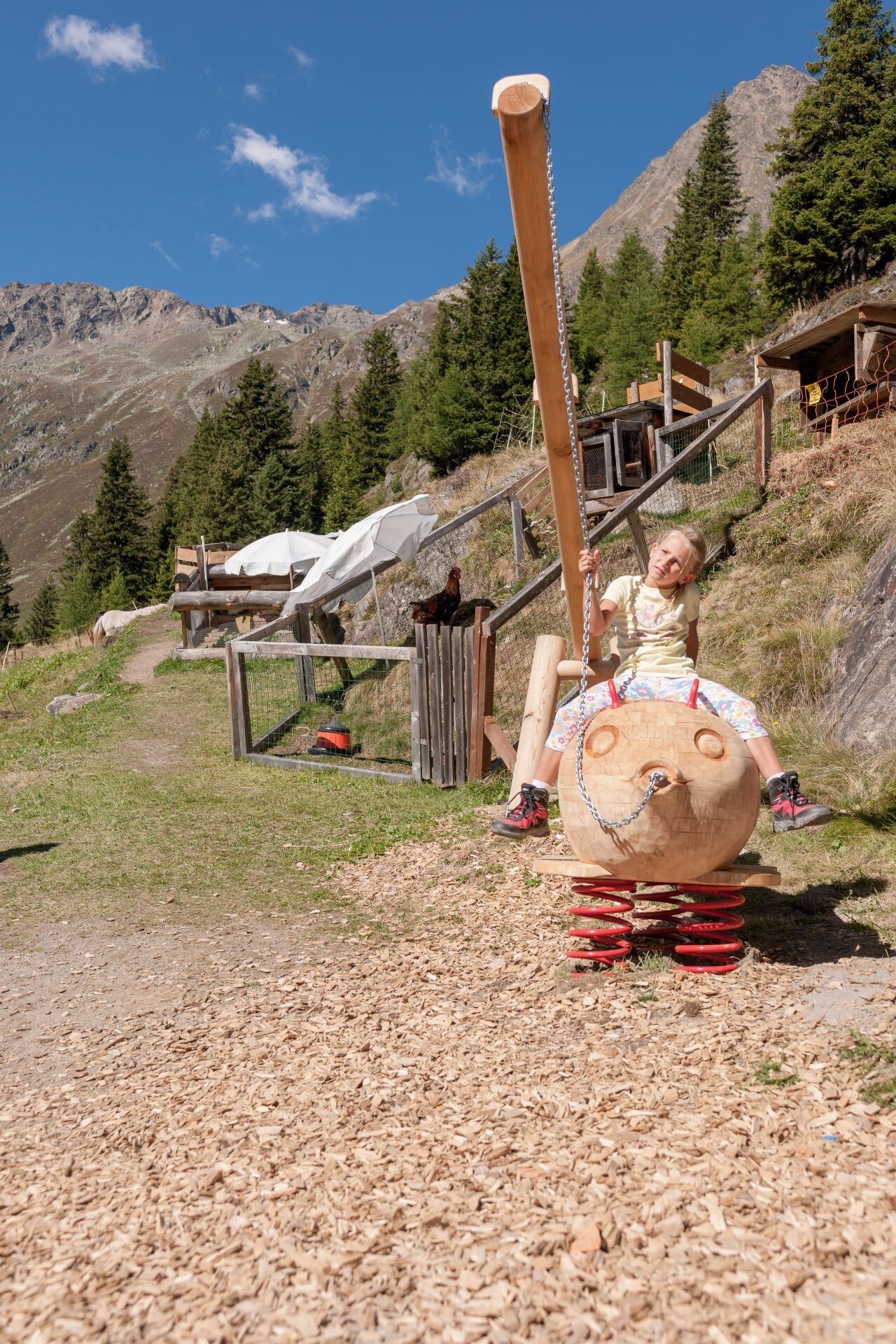
Appropriate equipment such as breathable and weather-appropriate outdoor clothing, ankle-high hiking boots, wind, rain and sun protection, a hat, possibly gloves, is required for all hikes and tours. Carrying a first aid kit, a mobile phone, and possibly a hiking map, as well as sufficient provisions for hikes without stopping opportunities, is necessary.
Source: Ötztal

Description

From Sölden, conveniently with the Zentrum Shuttle or via the hiking trail by the church past the hamlet of Innerwald. At the small chapel in Innerwald, a small path runs along the mountain meadows towards Stiegele. From Stiegele, it then goes leisurely along the wide forest road towards Gaislach Alm. The hike to the alpine guesthouse Gaislachalm is a leisurely hike for the whole family. The Gaislachalm is a rustic guesthouse with a small petting zoo for the children. The view into the Ventertal is breathtaking.


Nearby huts and mountain restaurants

Getting here

  • Arrival by public transport

    Travel comfortably and safely by train to the Ötztal railway station. The final station or exit point is ÖTZTAL station. Afterwards, you can travel conveniently and quickly by public transport or local taxi services through the entire valley to your desired destination. The current bus schedule is available at: http://fahrplan.vvt.at

  • Parking

    In Sölden, the following parking options are available:

    • Postplatz parking lot
    • Stiegele parking lot
    • Step parking lot
    • Giggijoch cable car + underground garage
    • Gaislachkogl cable car + underground garage
    • Hochsölden parking lot
    • Hochsölden parking garage, 1st deck

    The parking lots are chargeable.

    For multi-day parking (e.g., hut tours):

    • Parking ticket either online or directly at the Gaislachkogl cable car ticket office

More tours in the surrounding area

  • Ötztal Trek Stage 6

    Difficulty: difficult
    Length: 7.6 km Duration: 3:30 h Elevation uphill: 640 m
  • Ötztal Trek Stage 7

    Difficulty: difficult
    Length: 5.3 km Duration: 2:00 h Elevation uphill: 376 m
  • Ötztal Trek

    Length: 246.4 km Duration: 84:25 h Elevation uphill: 18,910 m
  • Ötztal Trek Stage 17

    Difficulty: difficult
    Length: 16.4 km Duration: 6:00 h Elevation uphill: 1,080 m
  • Ötztal Trek Stage 16

    Difficulty: difficult
    Length: 6.9 km Duration: 2:30 h Elevation uphill: 358 m
  • Winter hiking trail Rotes Wandl - No. 431

    Opening hours: closed
    Difficulty: easy
    Length: 1.5 km Duration: 0:45 h Elevation uphill: 52 m
  • Ötztal Trek Stage 21

    Difficulty: difficult
    Length: 9.4 km Duration: 4:30 h Elevation uphill: 1,270 m
  • Ötztal Trek Stage 4

    Difficulty: difficult
    Length: 8.9 km Duration: 4:00 h Elevation uphill: 802 m
  • Ötztal Trek Stage 3

    Difficulty: difficult
    Length: 10.4 km Duration: 4:00 h Elevation uphill: 842 m
  • Ötztal Trek Stage 10

    Difficulty: difficult
    Length: 11.1 km Duration: 4:30 h Elevation uphill: 1,476 m
  • Ötztal Trek Stage 8

    Difficulty: difficult
    Length: 9.3 km Duration: 3:30 h Elevation uphill: 274 m
  • Ötztal Trek Stage 20

    Opening hours: closed
    Difficulty: medium
    Length: 6.4 km Duration: 3:00 h Elevation uphill: 610 m
  • Ötztal Trek Stage 11

    Difficulty: difficult
    Length: 12.0 km Duration: 5:00 h Elevation uphill: 705 m
  • Ötztal Trek Stage 5

    Difficulty: difficult
    Length: 8.1 km Duration: 3:30 h Elevation uphill: 1,125 m
  • Ötztal Trek Stage 1

    Difficulty: medium
    Length: 18.6 km Duration: 6:30 h Elevation uphill: 1,561 m
  • Ötztal Trek Stage 14

    Difficulty: difficult
    Length: 6.3 km Duration: 3:00 h Elevation uphill: 1,004 m
  • Ötztal Trek Stage 12

    Difficulty: difficult
    Length: 4.8 km Duration: 2:00 h Elevation uphill: 592 m
  • Ötztaler Urweg

    Length: 189.1 km Duration: 72:19 h Elevation uphill: 9,428 m
  • Ötztal Trek Stage 22

    Difficulty: difficult
    Length: 21.5 km Duration: 8:00 h Elevation uphill: 647 m
  • Vent - Breslauer Hütte - Vernagthütte

    Difficulty: medium
    Length: 10.4 km Duration: 4:00 h Elevation uphill: 1,203 m
Newsletter

The mountain is calling? So does our newsletter!

In our monthly newsletter we reveal the best holiday tips for Tyrol.