Mountain hikes Gasthof Granstein

Sölden / Ötztal Alps
Difficulty ratings: medium
Route length: 3.6 km
Duration: 1:19 h

SÖLDEN -> GASTHOF GRANSTEIN -> SÖLDEN

Tour information

  • Requirement: medium
  • Length: 3.6 km
  • Duration: 1:19 h
  • Elevation uphill:331 hm
  • Elevation downhill:150 hm
Highest point1,469 m

Starting point

Sölden

Finishing point

Gasthof Granstein
  • Fitness level 3 / 6

Best time of year

  • January
  • February
  • March
  • April
  • May
  • June
  • July
  • August
  • September
  • October
  • November
  • December

Equipment

Moderate mountain trail; for sure-footed and experienced hikers. Good physical condition, mountain experience & mountain equipment (see notice equipment) necessary. Please pay attention to the current weather report: Appropriate equipment such as breathable suitable outdoor clothes for the weather, ankle-high walking boots, wind-, rain- & sun protection, hat, possibly gloves, is for all hikes and tours necessary. Please bring a first-aidbox, a mobile phone, a walking map and if there is no hut on the way a snack and enough to drink.
Source: TVB Ötztal Tourismus

Description

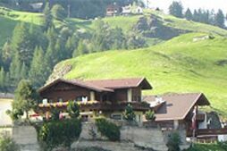
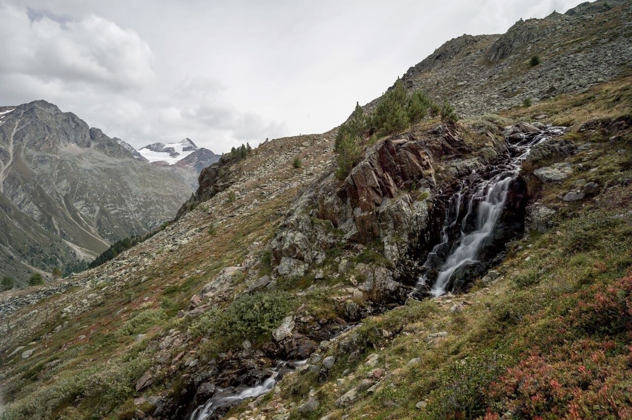
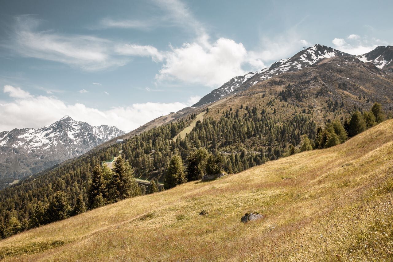
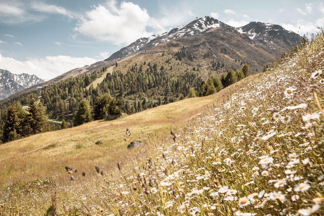
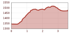
From Freizeit Arena you walk to the car park of Giggijoch mountain gondola and further on to the hamlet of Hainbach. A steeply rising, fenced walking trail takes you up to the hamlets of Mahpuit and Leite. The beautiful path with almost no change in elevation leads across the forest to the road towards Granstein and the lovely mountain inn (short descending section).

Nearby huts and mountain restaurants

Getting here

  • Arrival by public transport

    Travel safe and comfortable with the train to the Ötztal Bahnhof train station. Last stop and exit point is the train station Ötztal Bahnhof. Afterwards you can travel smoothly and quick with the public transport or our local taxi companies through the valley to your desired destination. Please find the current bus timetable here:http://fahrplan.vvt.at

  • Parking

    The following parking facilities are available in Sölden:

    • Parking lot
    • parking lot Stiegele
    • stair parking
    • Giggijochbahn + underground garage
    • Gaislachkoglbahn + underground garage
    • Parking Hochsölden
    • parking garage Hochsölden 1. parking lot

    All parking is free during the day.

    Parking for several days (eg hike tour):

    • Parkticket either online or directly at the cash desk of the Gaislachkoglbahn

More tours in the surrounding area

  • Ötztal Trek Stage 4

    Difficulty:difficult
    Length:8.9 kmDuration:4:00 hElevation uphill:802 m
  • Ötztal Trek Stage 10

    Difficulty:difficult
    Length:11.1 kmDuration:4:30 hElevation uphill:1,476 m
  • Ötztal Trek Stage 8

    Difficulty:difficult
    Length:9.3 kmDuration:3:30 hElevation uphill:274 m
  • Ötztal Trek

    Length:246.4 kmDuration:84:25 hElevation uphill:18,910 m
  • Ötztal Trek Stage 16

    Difficulty:difficult
    Length:6.9 kmDuration:2:30 hElevation uphill:358 m
  • Ötztal Trek Stage 20

    Difficulty:medium
    Length:6.4 kmDuration:3:00 hElevation uphill:610 m
  • Ötztal Trek Stage 11

    Difficulty:difficult
    Length:12.0 kmDuration:5:00 hElevation uphill:705 m
  • Ötztal Trek Stage 5

    Difficulty:difficult
    Length:8.1 kmDuration:3:30 hElevation uphill:1,125 m
  • Ötztal Trek Stage 6

    Difficulty:difficult
    Length:7.6 kmDuration:3:30 hElevation uphill:640 m
  • Ötztal Trek Stage 7

    Difficulty:difficult
    Length:5.3 kmDuration:2:00 hElevation uphill:376 m
  • Ötztal Trek Stage 17

    Difficulty:difficult
    Length:16.4 kmDuration:6:00 hElevation uphill:1,080 m
  • Ötztal Trek Stage 12

    Difficulty:difficult
    Length:4.8 kmDuration:2:00 hElevation uphill:592 m
  • Ötztal Trek Stage 21

    Difficulty:difficult
    Length:9.4 kmDuration:4:30 hElevation uphill:1,270 m
  • Ötztal Trek Stage 3

    Difficulty:difficult
    Length:10.4 kmDuration:4:00 hElevation uphill:842 m
  • Ötztal Trek Stage 1

    Difficulty:medium
    Length:18.6 kmDuration:6:30 hElevation uphill:1,561 m
  • Ötztal Trek Stage 14

    Difficulty:difficult
    Length:6.3 kmDuration:3:00 hElevation uphill:1,004 m
  • Ötztaler Urweg

    Length:189.1 kmDuration:72:19 hElevation uphill:9,428 m
  • Ötztal Trek Stage 22

    Difficulty:difficult
    Length:21.5 kmDuration:8:00 hElevation uphill:647 m
  • Stuibenfall hike - Umhausen

    Opening hours:open
    Difficulty:easy
    Length:2.9 kmDuration:1:45 hElevation uphill:456 m
  • Piccard bridge loop hike - Obergurgl

    Opening hours:closed
    Difficulty:difficult
    Length:18.2 kmDuration:8:00 hElevation uphill:1,111 m
Newsletter

The mountain is calling? So does our newsletter!

In our monthly newsletter we reveal the best holiday tips for Tyrol.