
Place:Sölden
:Restaurant, Alpine pasture / hut / mountain restaurant
SÖLDEN -> GASTHOF SONNECK -> SÖLDEN

Red mountain trails are moderately difficult: some narrow and steep but secured hiking and climbing sections await hikers.The corresponding signs have a yellow background and show a red circle as a difficulty indication.
Moderately difficult mountain trail; suitable for sure-footed and experienced mountain hikers;Good physical condition, mountain experience, and mountain equipment (see under equipment) are necessary.Please observe the current weather report at: https://www.oetztal.com/de/sommer.html
Appropriate equipment such as breathable and weather-appropriate outdoor clothing, ankle-high hiking boots, wind, rain and sun protection, hat, and possibly gloves, is required for all hikes and routes.It is necessary to take a first-aid kit, a mobile phone, and possibly a hiking map,as well as sufficient provisions on hikes without opportunities to stop for refreshments.
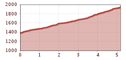
Start in the center of Sölden and follow the path towards Innerwald. Past the church, an asphalted, steep path leads up to the district of Innerwald.
Continue through Innerwald until the Ötztal Glacier Road, which you follow to the "Stiegele" junction.
From Stiegele, the hiking trail runs as a forest road, which is flat at first and then slightly ascends. The path mostly runs parallel to the ski slope.
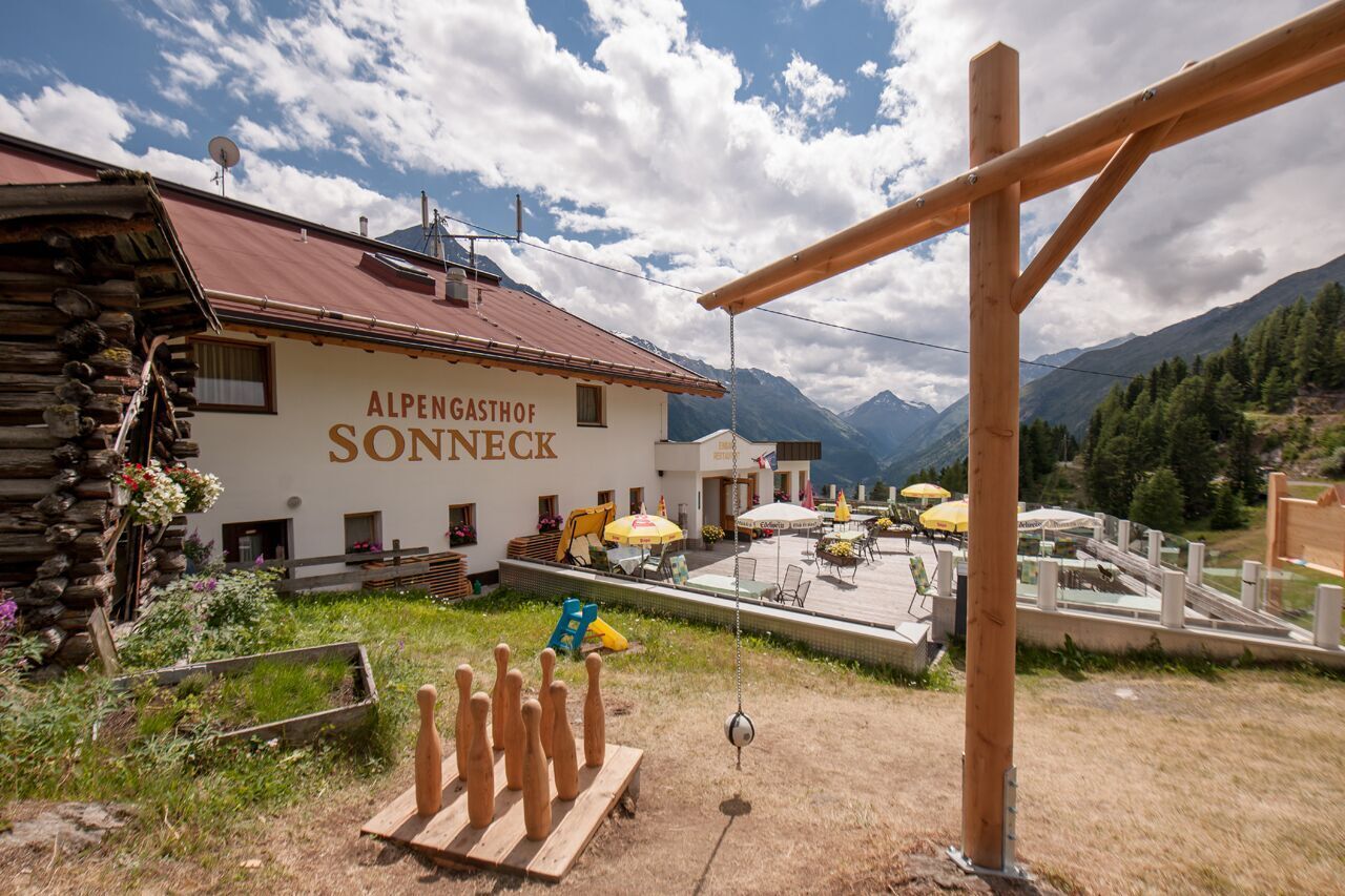
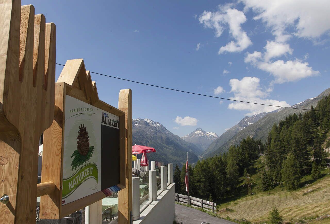
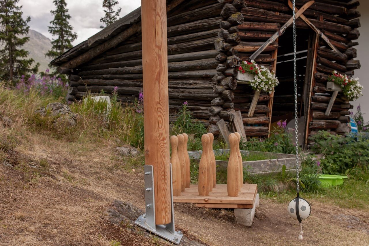
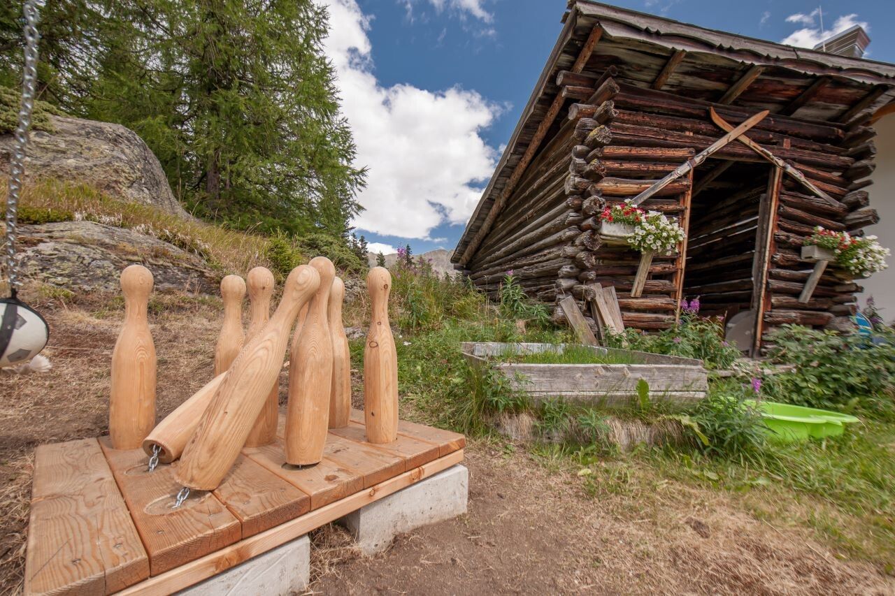
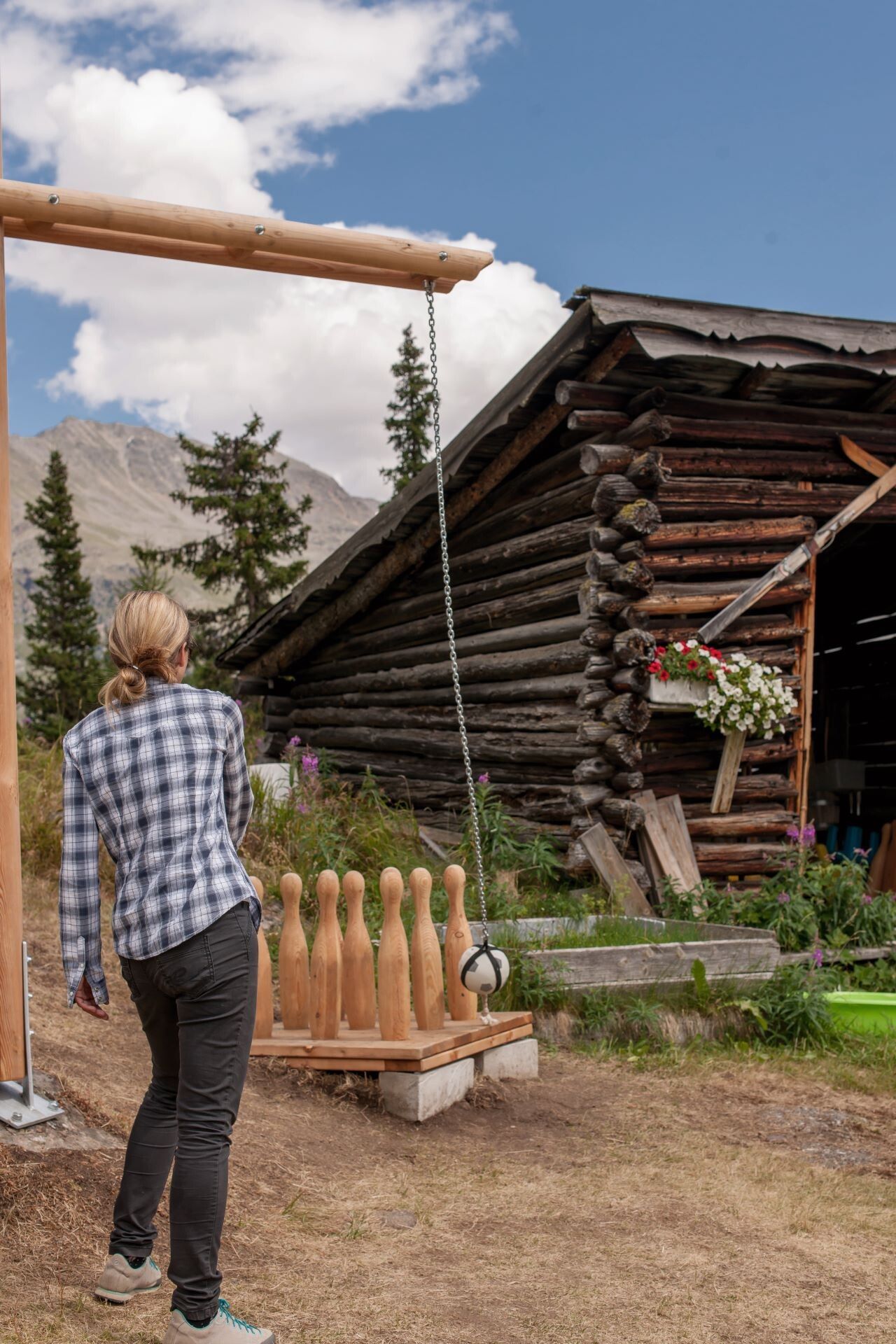
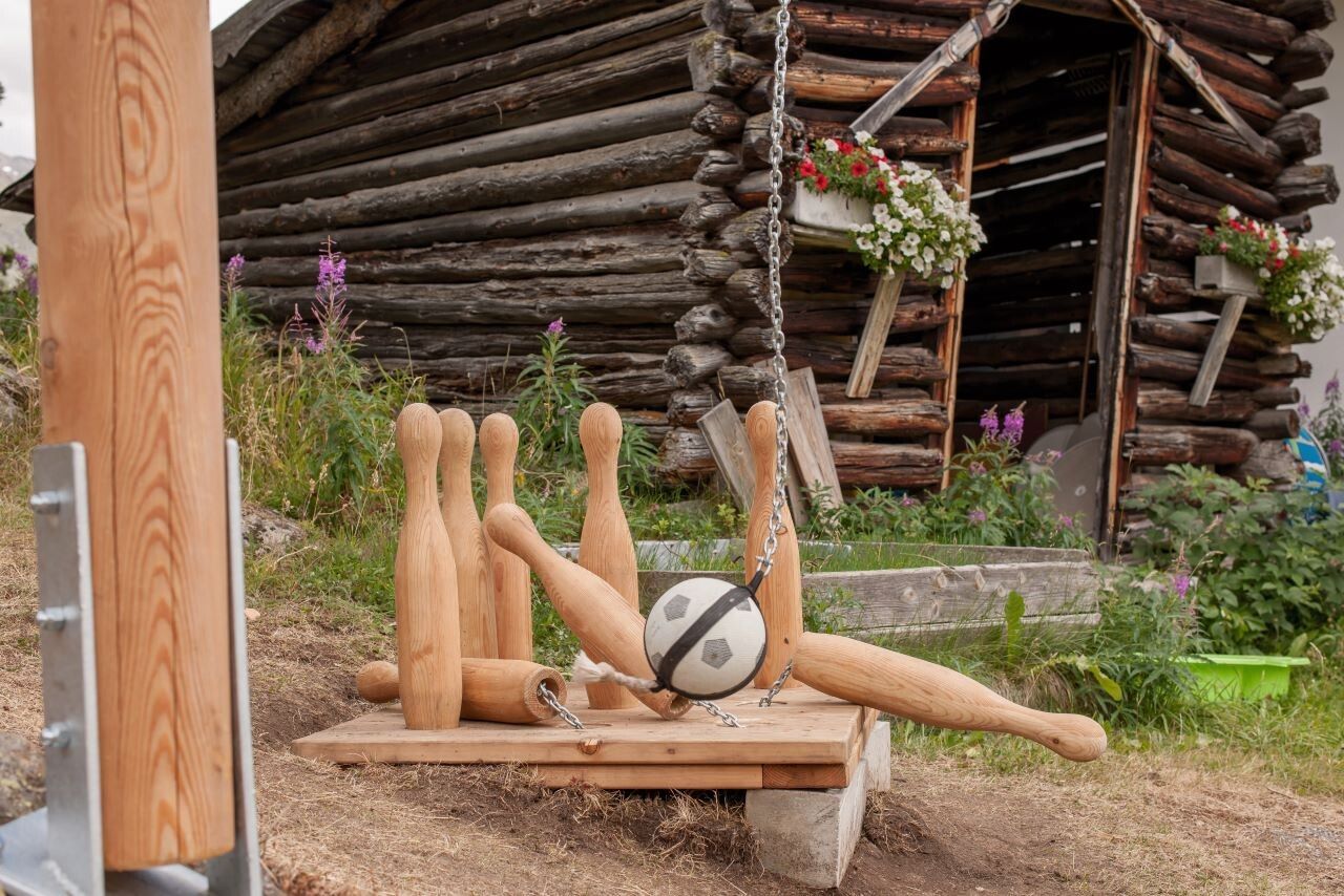
After several curves, you reach Gasthof Sonneck, where a cozy stop with a wonderful view awaits you.
Travel comfortably and safely by train to the Ötztal train station.The final stop or exit point is ÖTZTAL station.Then, travel conveniently and quickly by public bus service or local taxi companies through the entire valley to your desired destination.The current bus schedule is available at: fahrplan.vvt.at
The following parking options are available in Sölden:
Parking spaces are chargeable.
For parking for several days (e.g., hut tours):


")


