Hut hike Gschneier Alm

Pfunds / Ötztal Alps
Difficulty ratings: medium
Route length: 8.6 km
Duration: 3:46 h

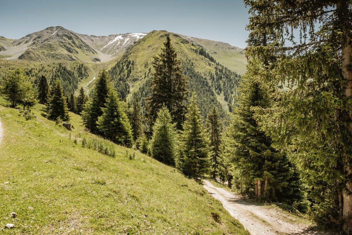
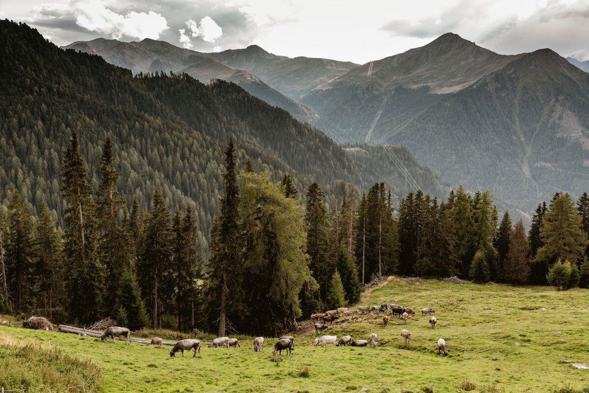
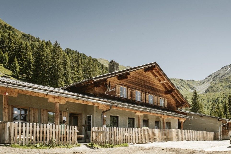
Hike from Greiter Säge up to the beautifully situated Gschneier Alm at the foot of Lahnkopf.
Tour information

  • Requirement: medium
  • Length: 8.6 km
  • Duration: 3:46 h
  • Elevation uphill:508 hm
  • Elevation downhill:503 hm
Highest point2,037 m

Starting point

Parking area Tscheylücke | Pfunds

Finishing point

Parking area Tscheylücke | Pfunds
  • Fitness level 3 / 6
  • Technique 3 / 6

Best time of year

  • January
  • February
  • March
  • April
  • May
  • June
  • July
  • August
  • September
  • October
  • November
  • December

Trail condition

Forest road, Trail

Equipment

We recommend equipment suitable for the tour and weather conditions, including sturdy shoes, weatherproof clothing, food, and appropriate maps.
Source: TVB Tiroler Oberland

Description

Starting at Greiter Säge at the entrance to the Pfundser Tschey, follow the signs toward Gschneier Alm. The route follows a mountain road with several switchbacks uphill to Gschneier Alm. The return follows the same route back to Greiter Säge / Tscheylücke.

Getting here

  • Arrival by public transport

    Line 210, Bus stop Pfunds Dorf, walking distance to Tscheylücke: 6,9 km
    Line 273, Bus stop Pfunds Stuben, walking distance to Tscheylücke: 8,1 km

    Tip: There ist a hiking shuttle to the Tschey every Thursday

  • Parking

    Parking area Tscheylücke, free of charge

Weather

Today

light rain showers
30°C/15°C
55%4l5 km/h

Tue

light rain showers
29°C/15°C
55%2.1l5 km/h

Wed

light rain showers
30°C/15°C
45%4.5l5 km/h
Go to weather forecast

More tours in the surrounding area

Newsletter

The mountain is calling? So does our newsletter!

In our monthly newsletter we reveal the best holiday tips for Tyrol.