
Opening hours:Open today
Place:
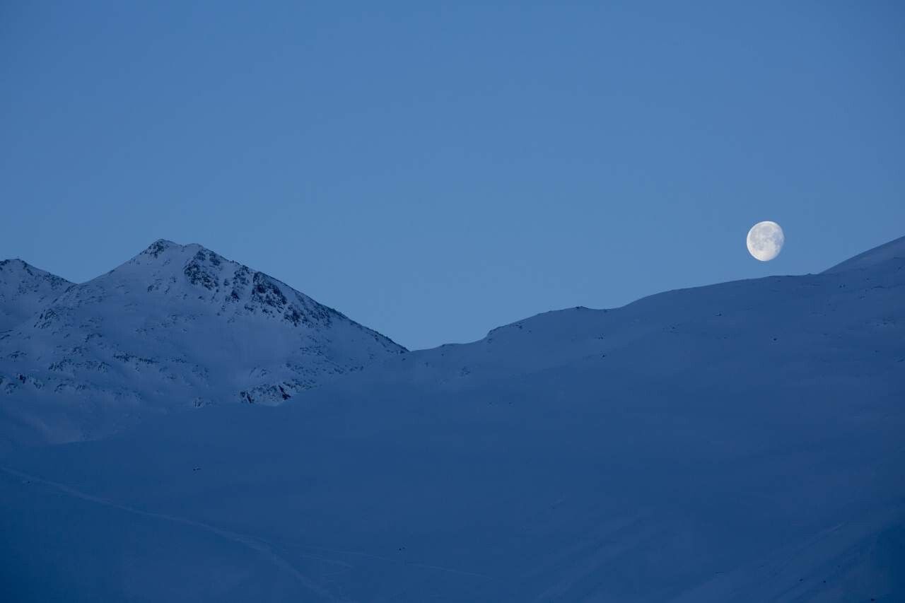
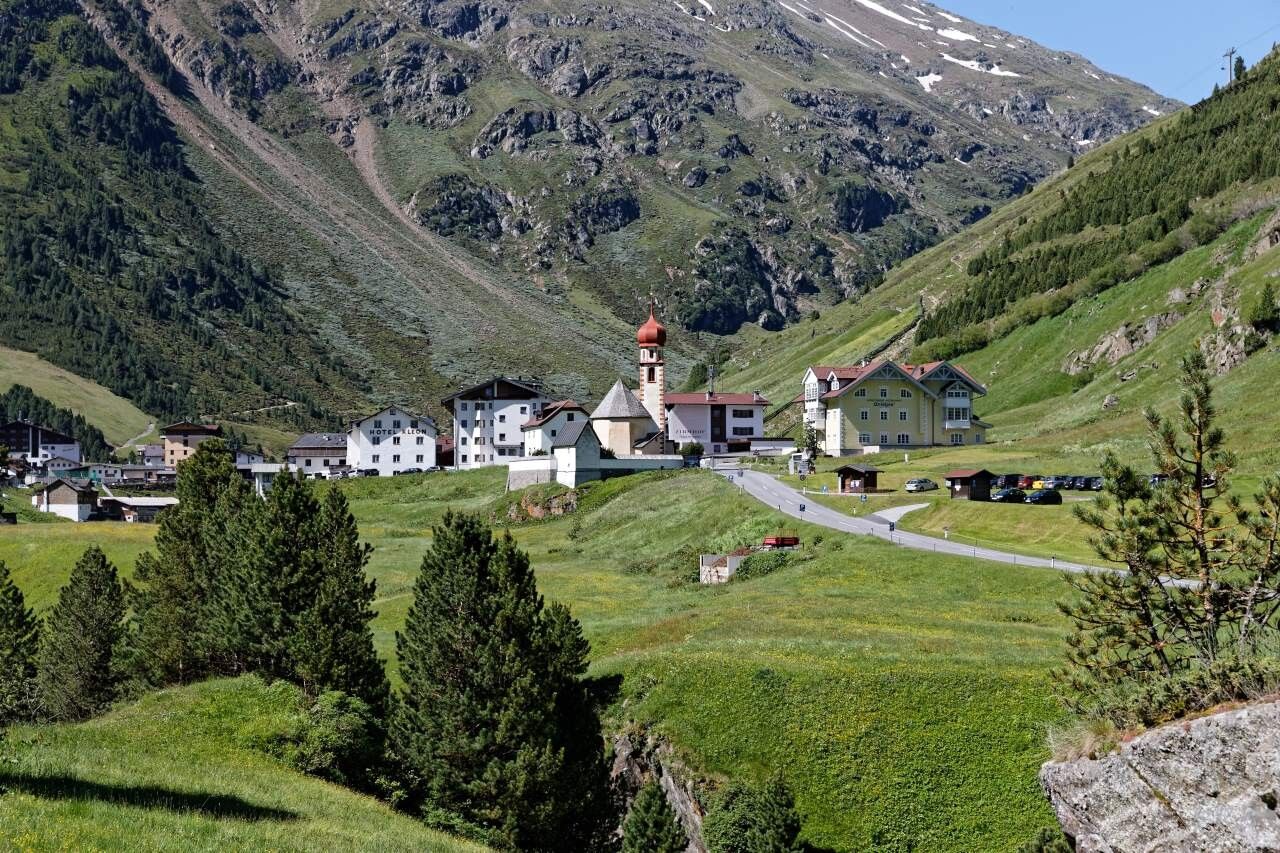
Vent
:
Restaurant
VERNAGTHÜTTE -'> GUSLARSPITZE
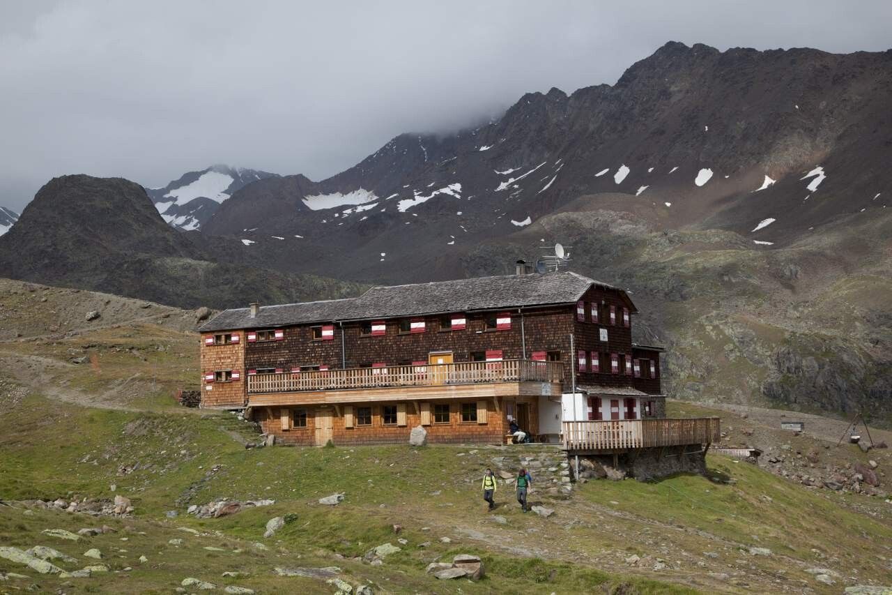
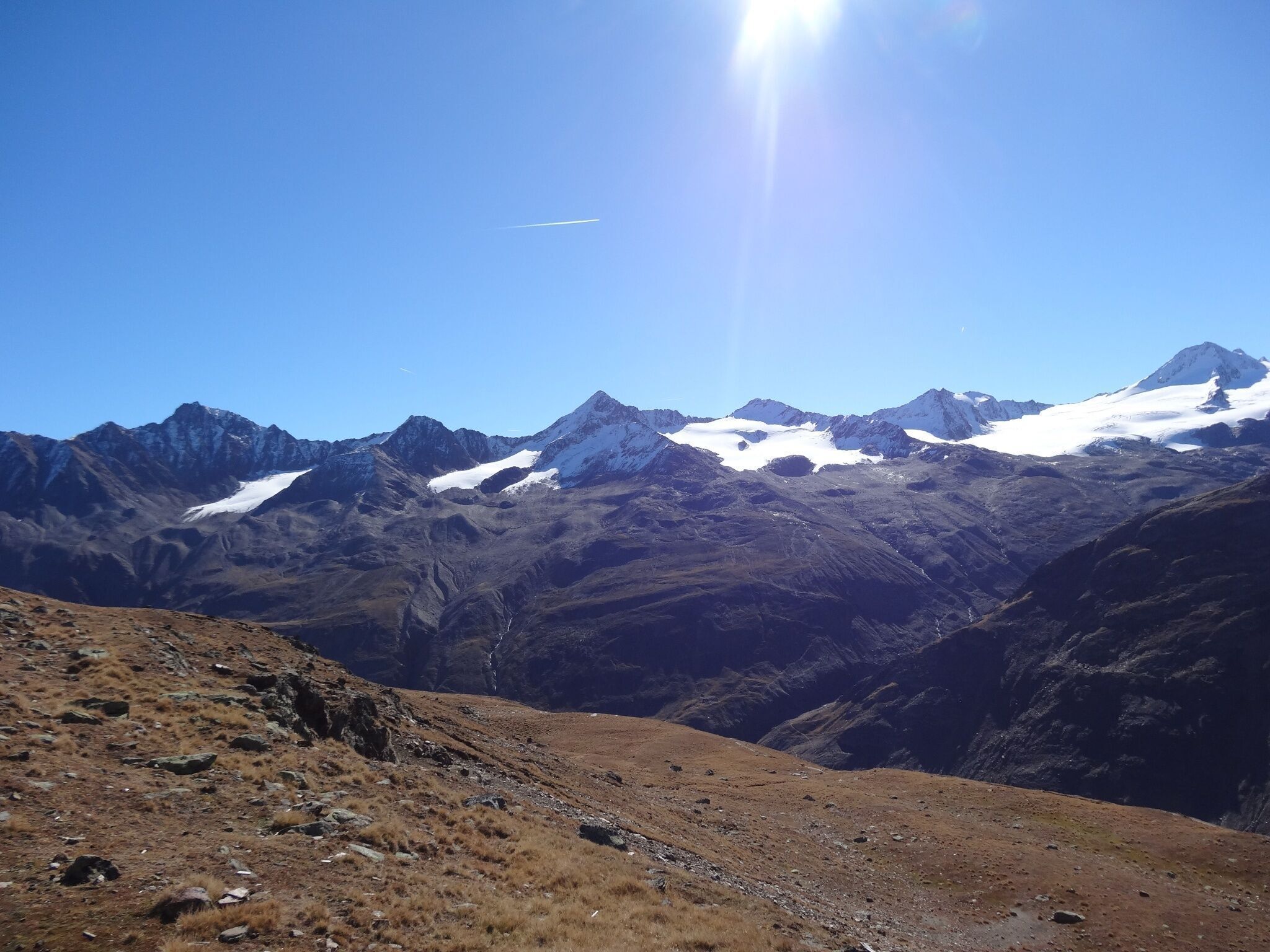
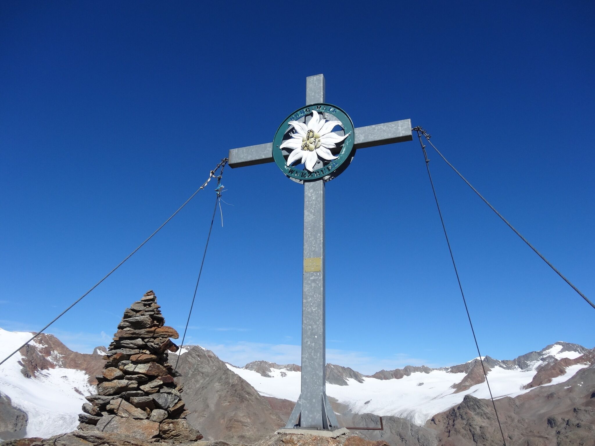
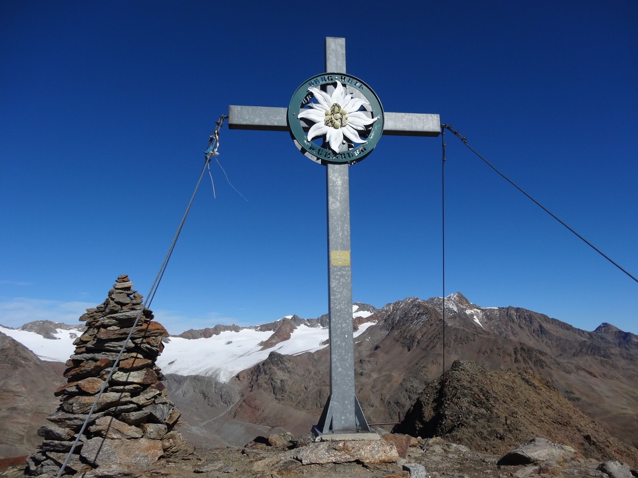
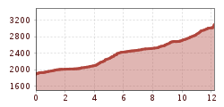
From Vent across Alpine meadows to the suspension bridge in Rofen, further on to the goods lift of Vernagthütte. Here you take the moderately climbing path to the hut via Platteiberg and Vernagtbachtal. From the Vernagthütte on the hut access path down a few meters to the south and after the first corner on the right at the signposted junction further south down to the glacier stream. Over a bridge and keeping to the right in the wide basin upwards. Soon after, in serpentines to the left on a wide moraine ridge and along this always gently ascending southward into the wide cirque between Hinterer and Vorderer Guslarspitze. Part over a scree slope up into the saddle between Hinterer and Mittlerer Guslarspitze, then keeping left on the broad ridge and gently ascending to the east to the broad summit with the large summit cross.
Enjoy a both comfortable and relaxing train ride to the train station in Ötztal Bahnhof. You get off the train in ÖTZTAL Bahnhof where you change to a public bus or local taxi. The current bus schedule can be found at: http://fahrplan.vvt.at
The following parking options are available in the mountaineering village Vent
- In summertime in front of the village (parking machine, only coins or EC card) and at the chairlift (at the ticket office of the mountain railways)
- In wintertime only at the chairlift
Cost: € 5,00 per day/car


