Mountain hikes Hike Köfels - Umhausen

Umhausen / Ötztal Alps
Difficulty ratings: easy
Route length: 4.6 km
Duration: 1:30 h

UMHAUSEN PARKING LOT MURE -> Neudorf -> Fork Fundustal/Leierstal -> Grantau -> KÖFELS    

Tour information

  • Requirement: easy
  • Length: 4.6 km
  • Duration: 1:30 h
  • Elevation uphill:408 hm
  • Elevation downhill:52 hm
Highest point1,389 m

Starting point

Mure parking lot

Finishing point

Köfels
  • Fitness level 2 / 6

Best time of year

  • January
  • February
  • March
  • April
  • May
  • June
  • July
  • August
  • September
  • October
  • November
  • December

Equipment

Easy hiking trail; suitable for beginners and walkers

Please note the current weather report

Appropriate equipment such as breathable and weather-appropriate outdoor clothing, ankle-high hiking boots, wind, rain, and sun protection, hat, possibly gloves, is required for all hikes and routes. Bringing a first aid kit, a mobile phone, and possibly a hiking map, as well as sufficient provisions for hikes without dining options, is necessary.

Source: TVB Ötztal Tourismus

Description

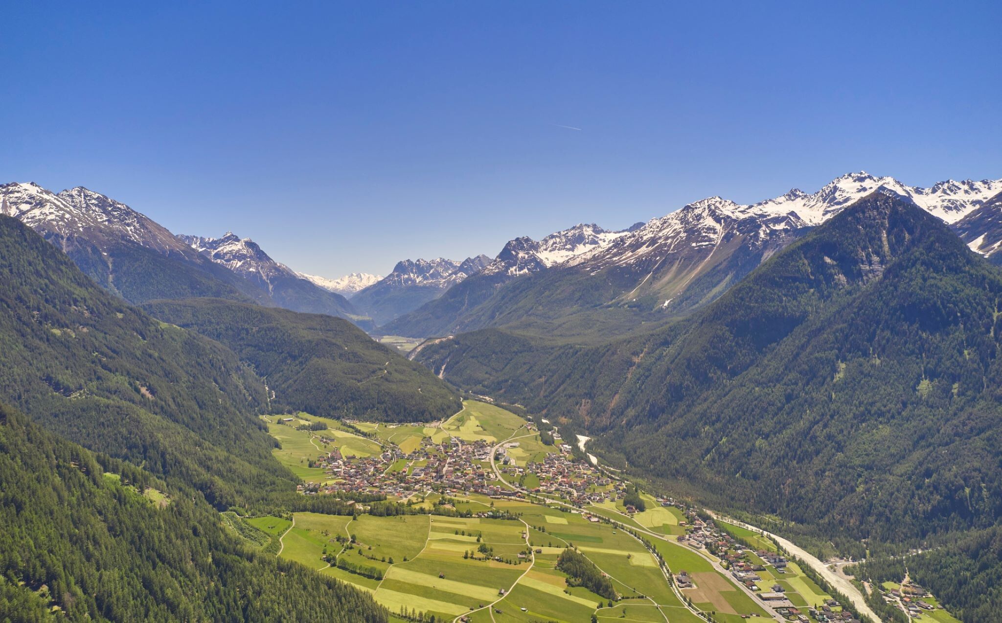
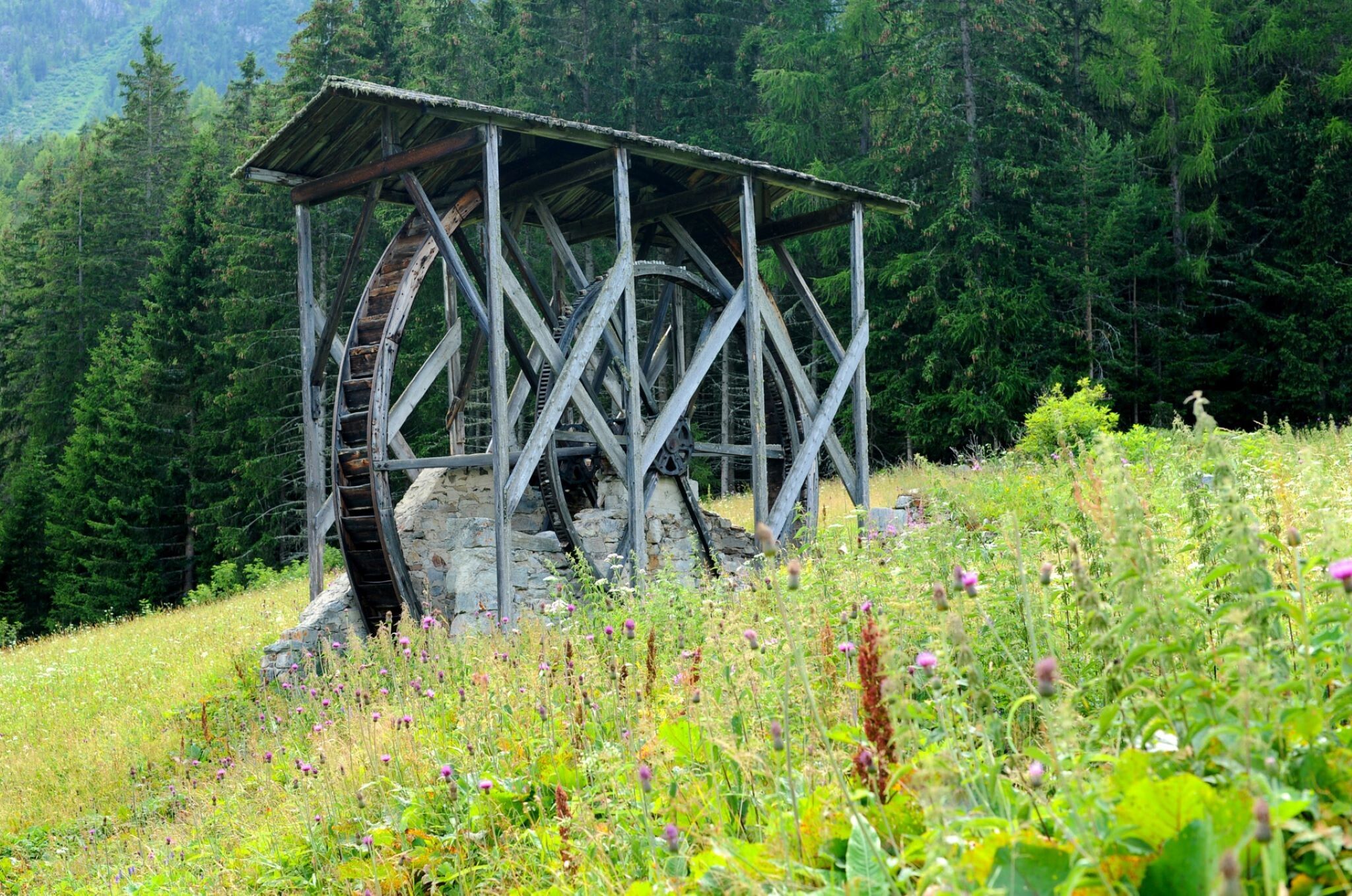
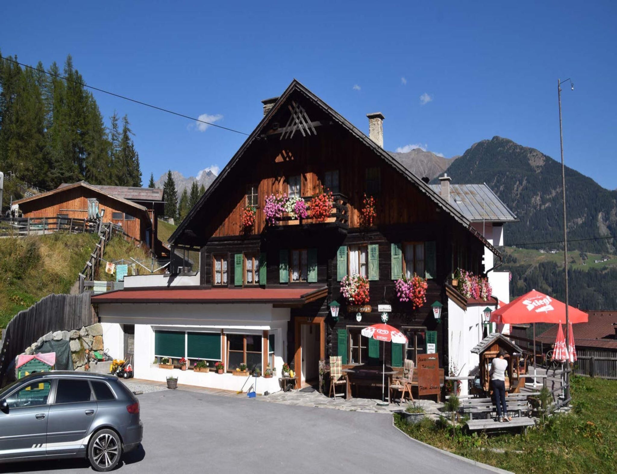
Köfels is a small farming village in the Tyrolean Ötztal, located on a sunny plateau at 1,400 m. The village is surrounded by meadows and forest and is a central starting point for attractive high-altitude hikes and mountain tours. The easy hike starts from the "Mure" parking lot in the center of Umhausen village. Passing the parish church, turn right into Hintere Gasse, then past Hotel Johanna towards the Neudorf district. From there, go down to the Fundus Bridge, which you cross at the same time. Immediately after the bridge, turn left and follow the wide Fortsweg along the Ötztaler Ache river to "Grantau." Then turn right and first go uphill along the street, then continue on a narrow path through the forest until you finally reach Köfels. A stop at the Alpengasthof Köfels or the Edelweiß snack station for rest and refreshment is worthwhile. Köfels is also accessible by car.


Nearby huts and mountain restaurants

Getting here

  • Arrival by public transport

    Travel comfortably and safely by train to the Ötztal train station. The final stop or exit point is ÖTZTAL station. Afterwards, you can conveniently and quickly travel through the entire valley to your desired destination with public transportation or local taxi services! The current bus schedule is available at: http://fahrplan.vvt.at

  • Parking

    In Umhausen, the following parking options are available to you:

    • Mure parking lot | free of charge

More tours in the surrounding area

  • Ötztal Trek Stage 4

    Difficulty:difficult
    Length:8.9 kmDuration:4:00 hElevation uphill:802 m
  • Ötztal Trek Stage 10

    Difficulty:difficult
    Length:11.1 kmDuration:4:30 hElevation uphill:1,476 m
  • Ötztal Trek Stage 8

    Difficulty:difficult
    Length:9.3 kmDuration:3:30 hElevation uphill:274 m
  • Ötztal Trek

    Length:246.4 kmDuration:84:25 hElevation uphill:18,910 m
  • Ötztal Trek Stage 16

    Difficulty:difficult
    Length:6.9 kmDuration:2:30 hElevation uphill:358 m
  • Ötztal Trek Stage 20

    Difficulty:medium
    Length:6.4 kmDuration:3:00 hElevation uphill:610 m
  • Ötztal Trek Stage 11

    Difficulty:difficult
    Length:12.0 kmDuration:5:00 hElevation uphill:705 m
  • Ötztal Trek Stage 5

    Difficulty:difficult
    Length:8.1 kmDuration:3:30 hElevation uphill:1,125 m
  • Ötztal Trek Stage 6

    Difficulty:difficult
    Length:7.6 kmDuration:3:30 hElevation uphill:640 m
  • Ötztal Trek Stage 7

    Difficulty:difficult
    Length:5.3 kmDuration:2:00 hElevation uphill:376 m
  • Ötztal Trek Stage 17

    Difficulty:difficult
    Length:16.4 kmDuration:6:00 hElevation uphill:1,080 m
  • Ötztal Trek Stage 12

    Difficulty:difficult
    Length:4.8 kmDuration:2:00 hElevation uphill:592 m
  • Ötztal Trek Stage 21

    Difficulty:difficult
    Length:9.4 kmDuration:4:30 hElevation uphill:1,270 m
  • Ötztal Trek Stage 3

    Difficulty:difficult
    Length:10.4 kmDuration:4:00 hElevation uphill:842 m
  • Ötztal Trek Stage 1

    Difficulty:medium
    Length:18.6 kmDuration:6:30 hElevation uphill:1,561 m
  • Ötztal Trek Stage 14

    Difficulty:difficult
    Length:6.3 kmDuration:3:00 hElevation uphill:1,004 m
  • Ötztaler Urweg

    Length:189.1 kmDuration:72:19 hElevation uphill:9,428 m
  • Ötztal Trek Stage 22

    Difficulty:difficult
    Length:21.5 kmDuration:8:00 hElevation uphill:647 m
  • Stuibenfall hike - Umhausen

    Opening hours:open
    Difficulty:easy
    Length:2.9 kmDuration:1:45 hElevation uphill:456 m
  • Piccard bridge loop hike - Obergurgl

    Opening hours:closed
    Difficulty:difficult
    Length:18.2 kmDuration:8:00 hElevation uphill:1,111 m
Newsletter

The mountain is calling? So does our newsletter!

In our monthly newsletter we reveal the best holiday tips for Tyrol.