Hike to Aifneralm mountain hut

Kaunerberg / Ötztal Alps
Route length: 10.0 km
Duration: 3:00 h

Tour information

  • Length: 10.0 km
  • Duration: 3:00 h
  • Elevation uphill:460 hm
  • Elevation downhill:460 hm
Highest point1,980 m

Starting point

Car park near the hamlet Puschlin

Finishing point

Car park near the hamlet Puschlin

Features

  • Wheelchair hike

Trail condition

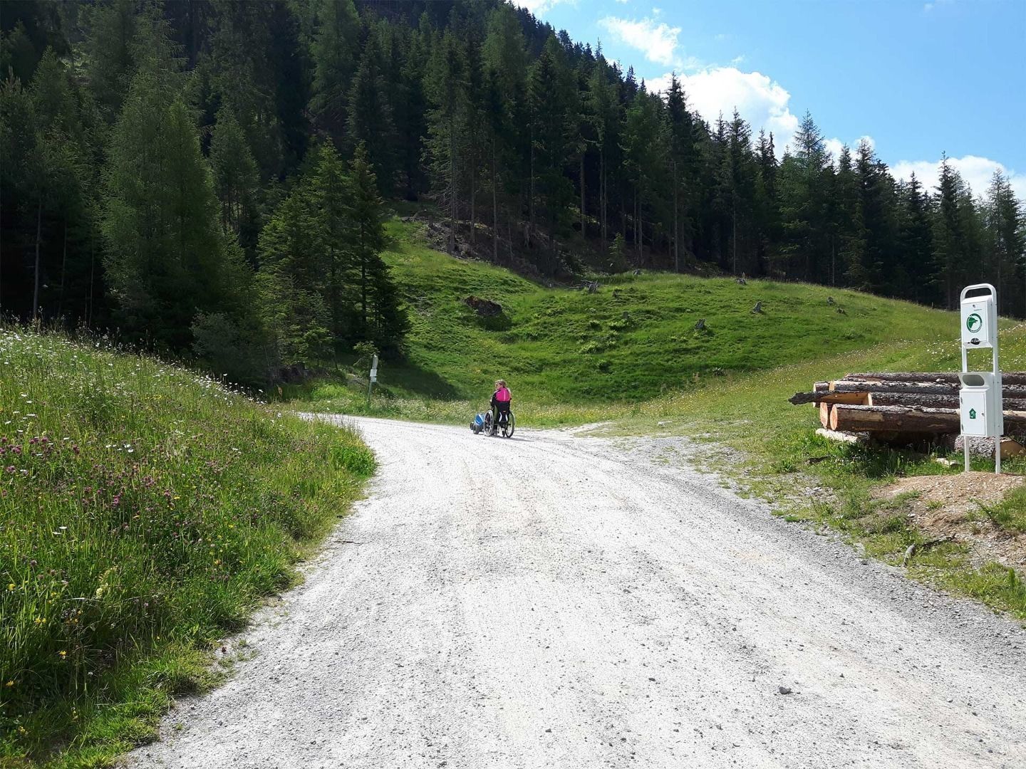
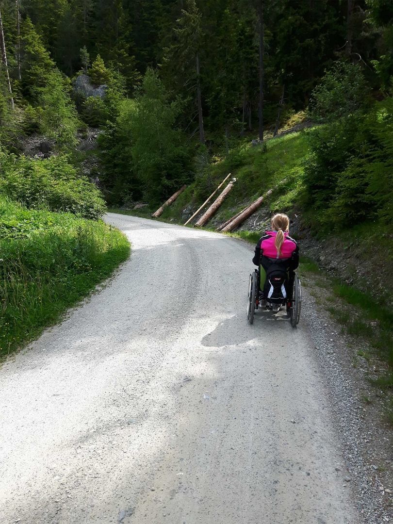
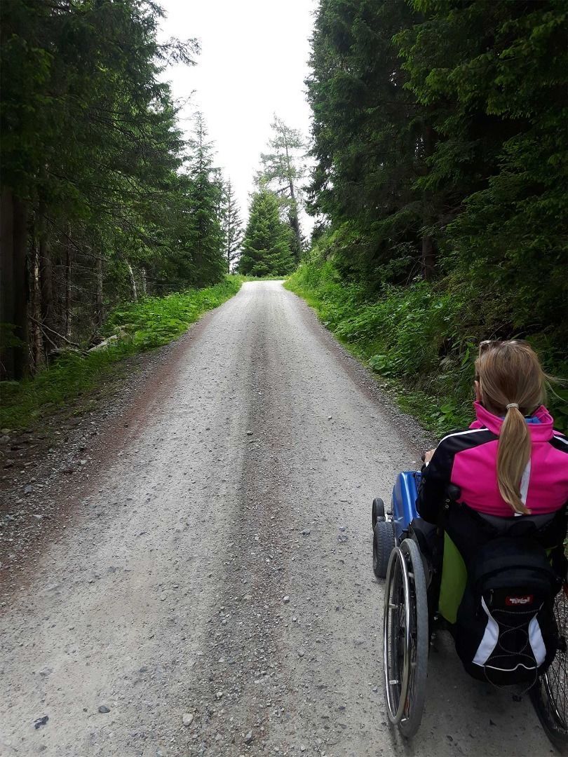
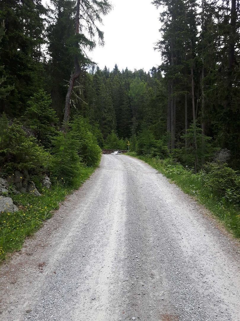
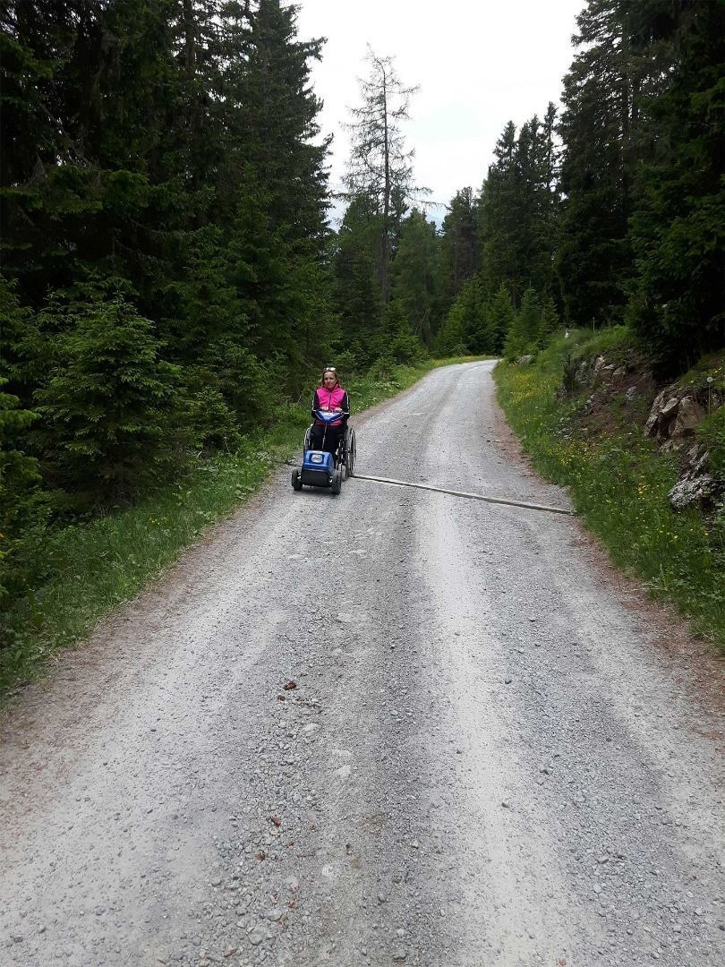
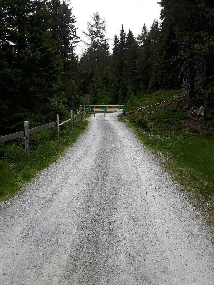
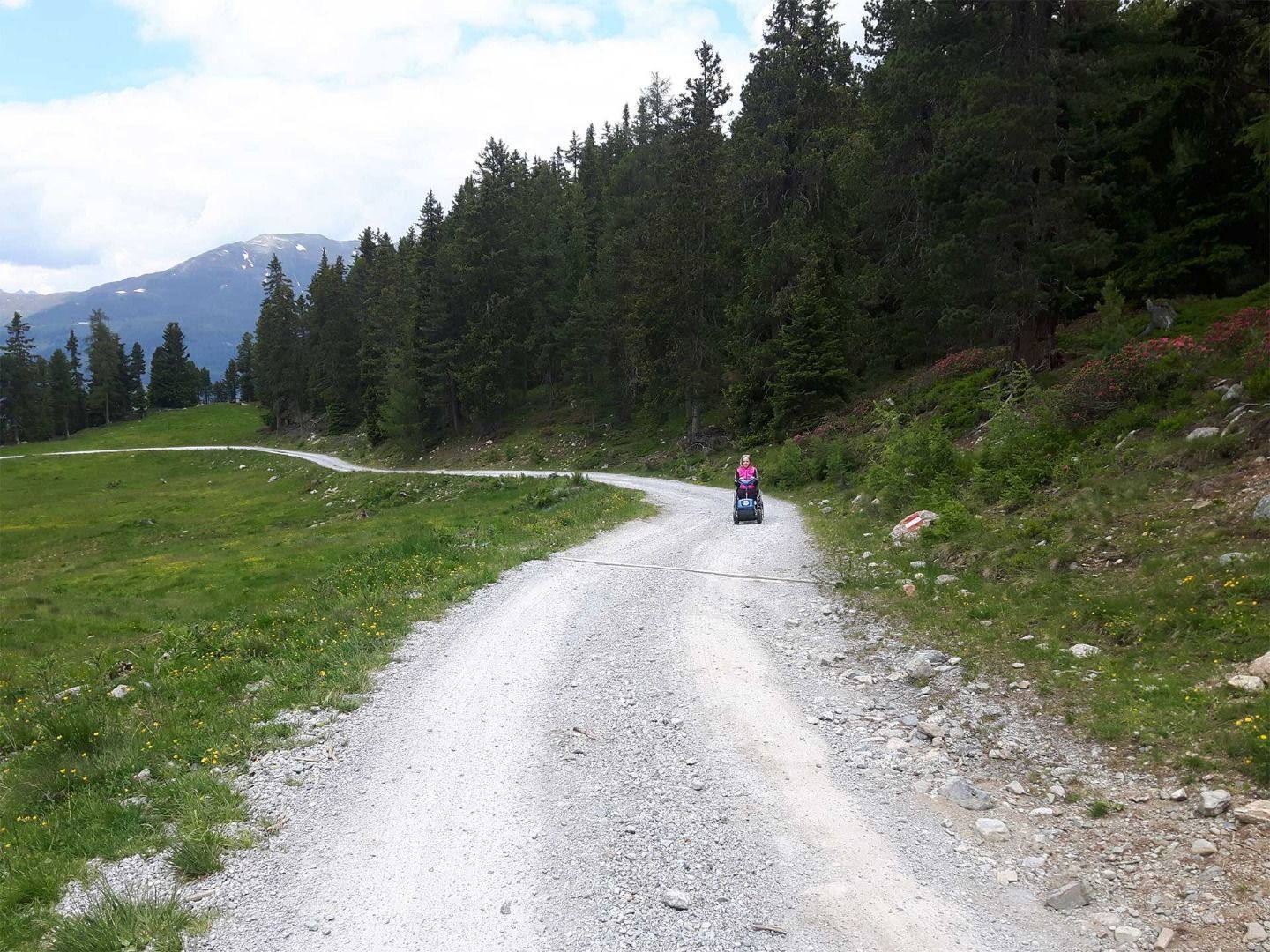
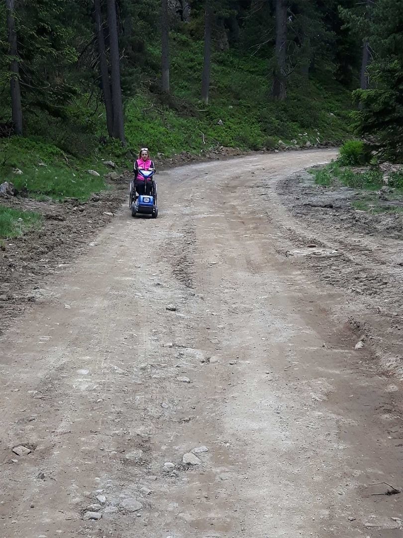
At first, a well-prepared forest path leads steeply uphill and you will already overcome a few metres in altitude at the beginning. After approx. 2/3 the road becomes bumpier and difficult to drive on.
Source: TVB Pitztal

Description

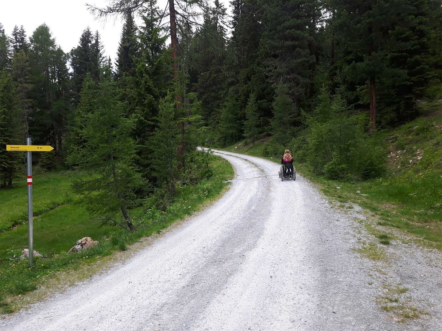
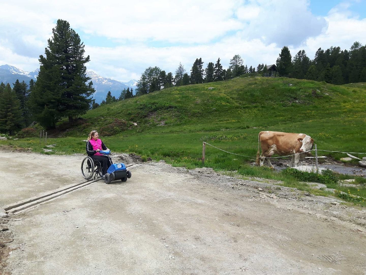
Swiss Trac Tour: Start: Please do not take the trail starting straight at the Naturparkhaus, as this features a short section that is not accessible by Swiss-Trac.
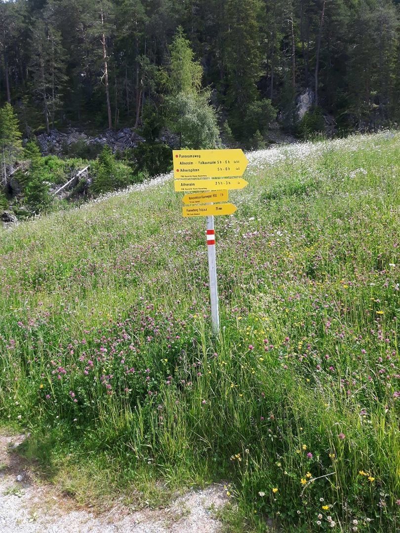
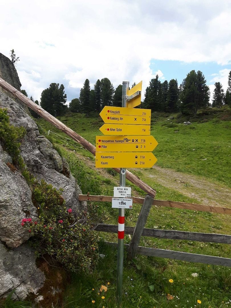
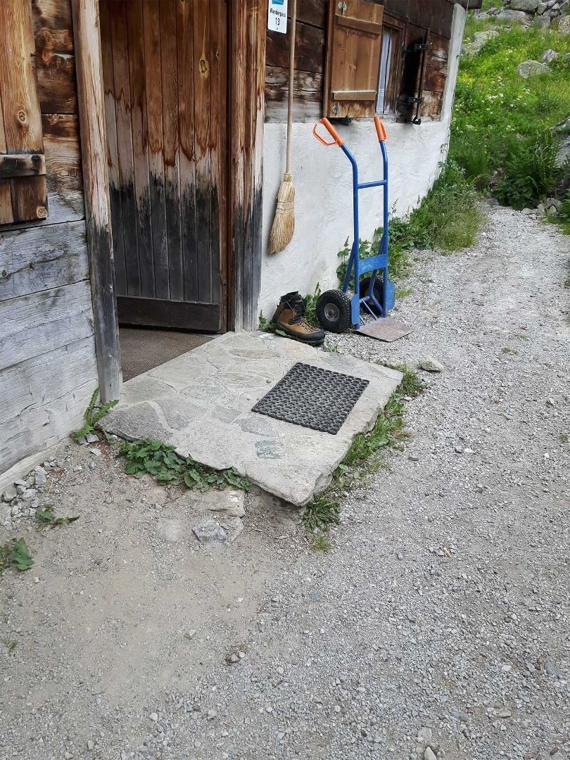
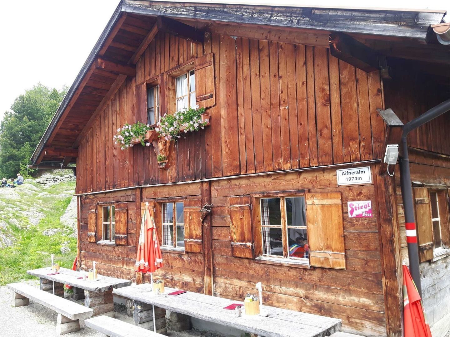
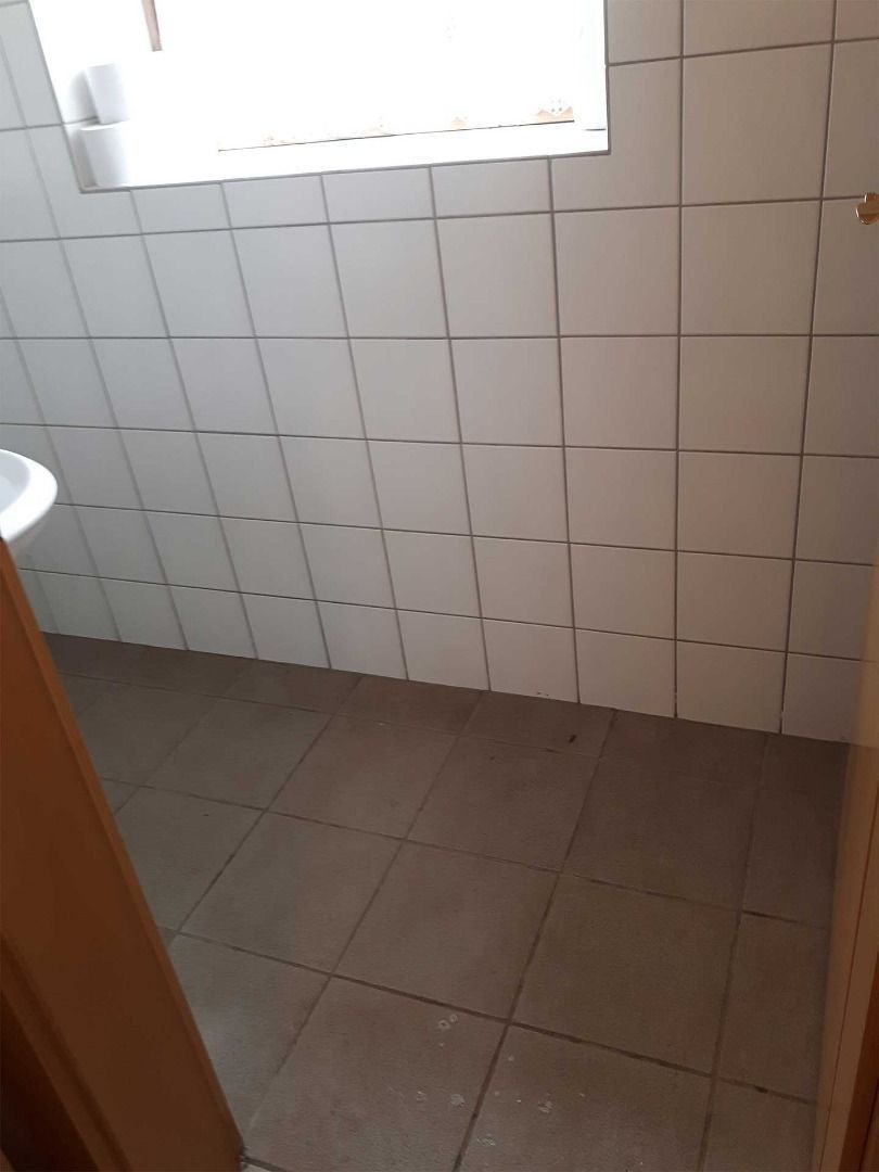
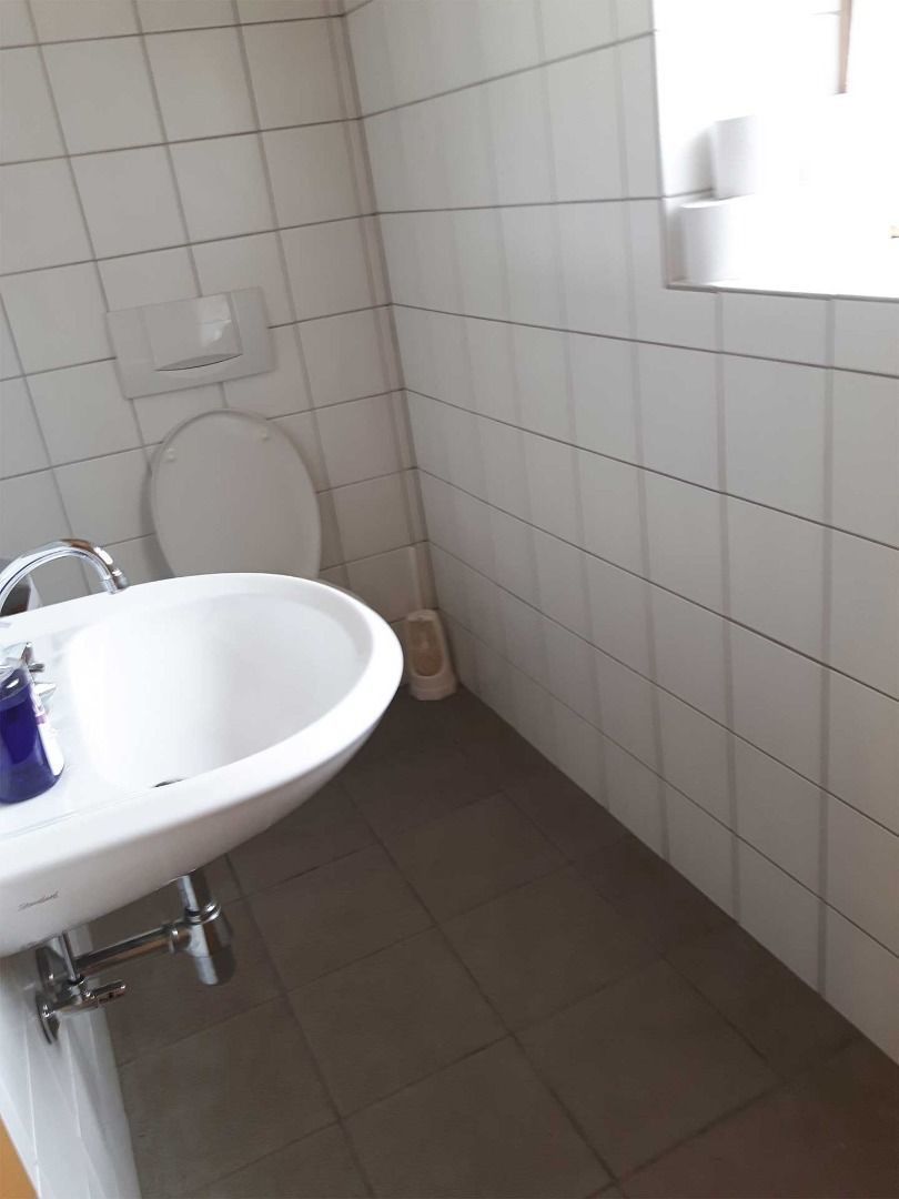
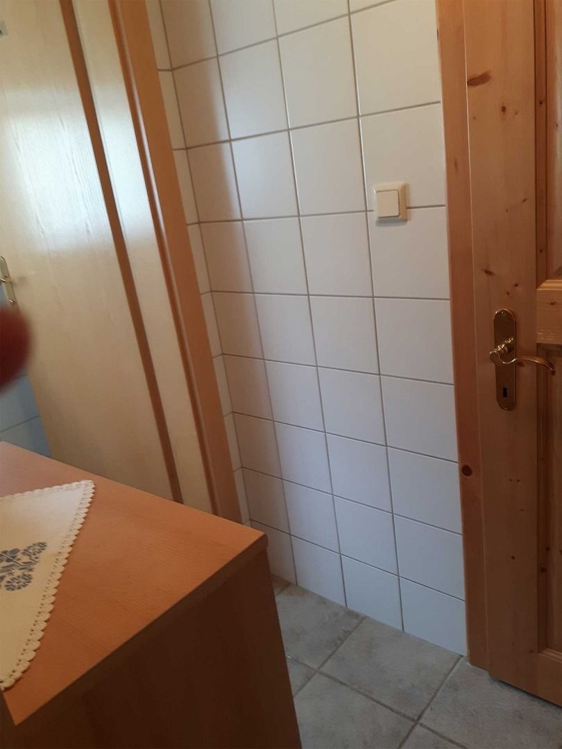
Start this route at the car park near the hamlet of Puschlin. Initially follow a well-prepared forest path. You will cover some altitude on this initial steep uphill section. Please note that you should never leave the main path. It leads past beautiful alpine meadows and after approx. 2/3 of the way, the surface of the path will become a little rougher and harder to navigate. After ca. 1.5 h you will reach the catered mountain hut “Aifner Alm”. The hut itself is accessible via a ramp, however, after rainfall the path leading up to it may be washed out in places. The toilet can be accessed by mounting one step. The corridor is very narrow due to a box. The toilet can be accessed by wheelchair but there is not sufficient space for turning circles.
 

Weather

Today

snow showers
5°C/0°C
85%8l10 km/h

Sat

snow showers
3°C/-3°C
80%1.3l5 km/h

Sun

light snowfall
2°C/-3°C
85%10.8l5 km/h
Go to weather forecast

More tours in the surrounding area

  • Rolli-Wanderung Gepatschhaus

    Length:8.5 kmDuration:1:45 hElevation uphill:156 m
  • Kapelle Maria Schnee

    Difficulty:easy
    Length:1.7 kmDuration:0:30 hElevation uphill:90 m
  • Verpeilschlucht

    Opening hours:open
    Difficulty:medium
    Length:4.9 kmDuration:3:00 hElevation uphill:386 m
  • Talwanderweg Kaunertal

    Difficulty:easy
    Duration:2:30 hElevation uphill:295 m
  • Kaunerberger Wasserweg

    Opening hours:open
    Difficulty:medium
    Length:15.2 kmDuration:6:00 hElevation uphill:935 m
  • Rolli-Wanderung Aifner Alm

    Difficulty:medium
    Length:6.0 kmDuration:2:30 hElevation uphill:460 m
  • Rolli-Wanderung Falkaunsalm

    Difficulty:medium
    Length:4.5 kmDuration:1:45 hElevation uphill:392 m
  • Rolli-Wanderung Nassereinalm

    Difficulty:medium
    Length:5.5 kmDuration:1:45 hElevation uphill:269 m
  • Großer Mutzkopf

    Opening hours:closed
    Difficulty:easy
    Length:10.3 kmDuration:4:00 hElevation uphill:507 m
  • Rundwanderung Frudiger

    Difficulty:medium
    Length:13.5 kmDuration:4:55 hElevation uphill:588 m
  • Radurschlklamm Gorge

    Opening hours:closed
    Difficulty:medium
    Length:7.5 kmDuration:3:20 hElevation uphill:442 m
  • Hohe Aifnerspitze (2.779 m)

    Difficulty:medium
    Length:7.2 kmDuration:5:15 hElevation uphill:815 m
  • Gletscherlehrpfad Gepatschferner

    Difficulty:medium
    Length:12.0 kmDuration:5:00 hElevation uphill:407 m
  • Sternenweg im Gepatsch

    Difficulty:medium
    Length:4.0 kmDuration:1:30 hElevation uphill:202 m
  • Ötztal Trek Stage 15

    Difficulty:difficult
    Length:6.5 kmDuration:2:30 hElevation uphill:332 m
Newsletter

The mountain is calling? So does our newsletter!

In our monthly newsletter we reveal the best holiday tips for Tyrol.