
Opening hours:Today closed
Place:
Oetz
:
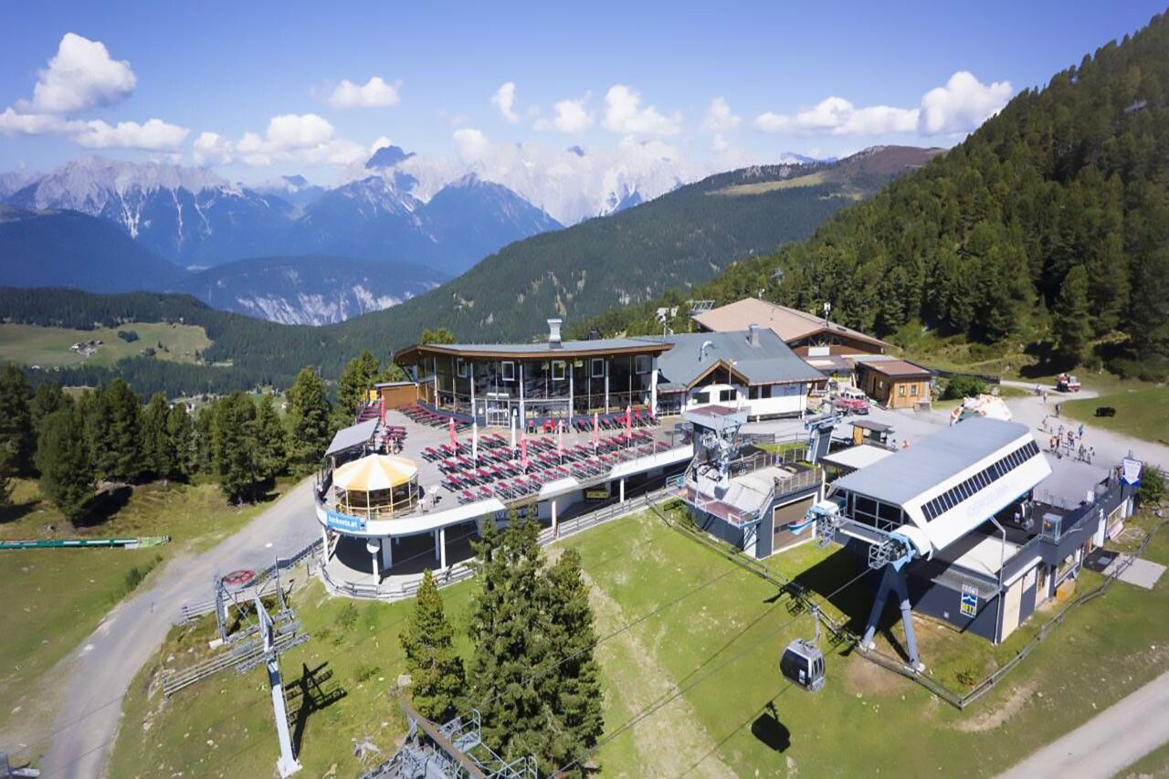
Restaurant
PANORAMA RESTAURANT HOCHOETZ -> Stufenreich -> Schlatt -> Klingenburg -> OETZ
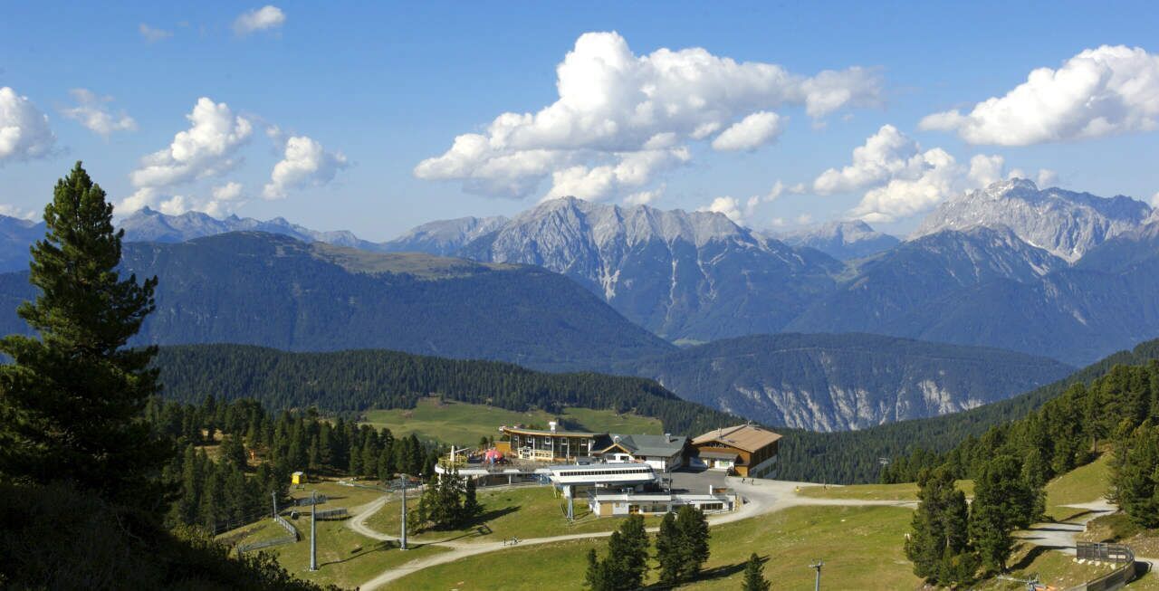
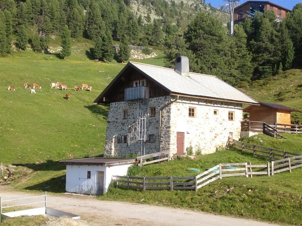
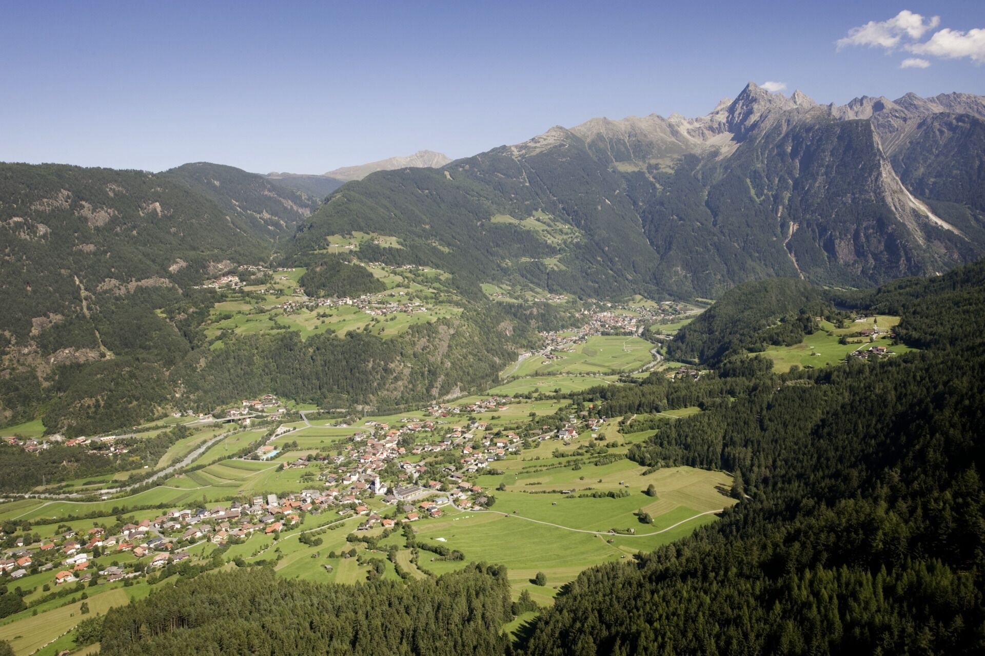
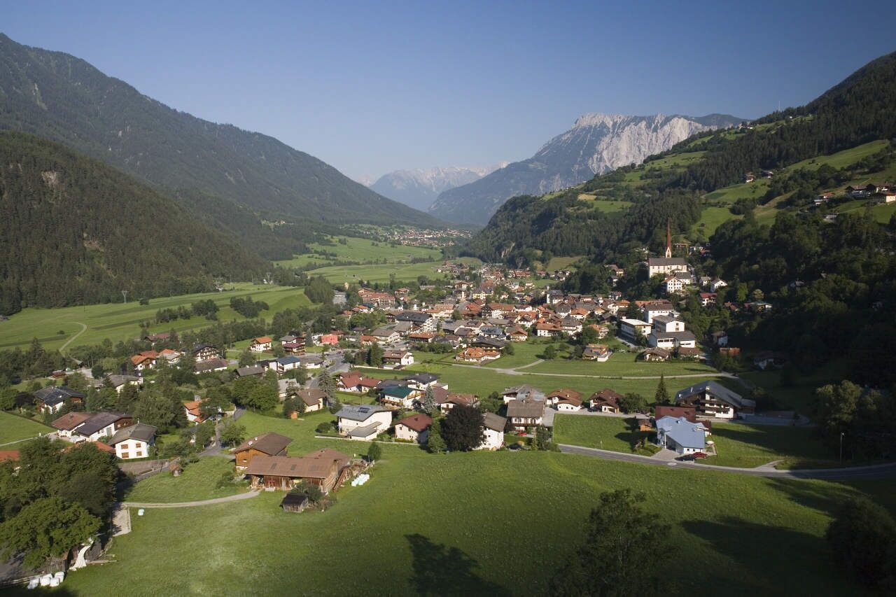
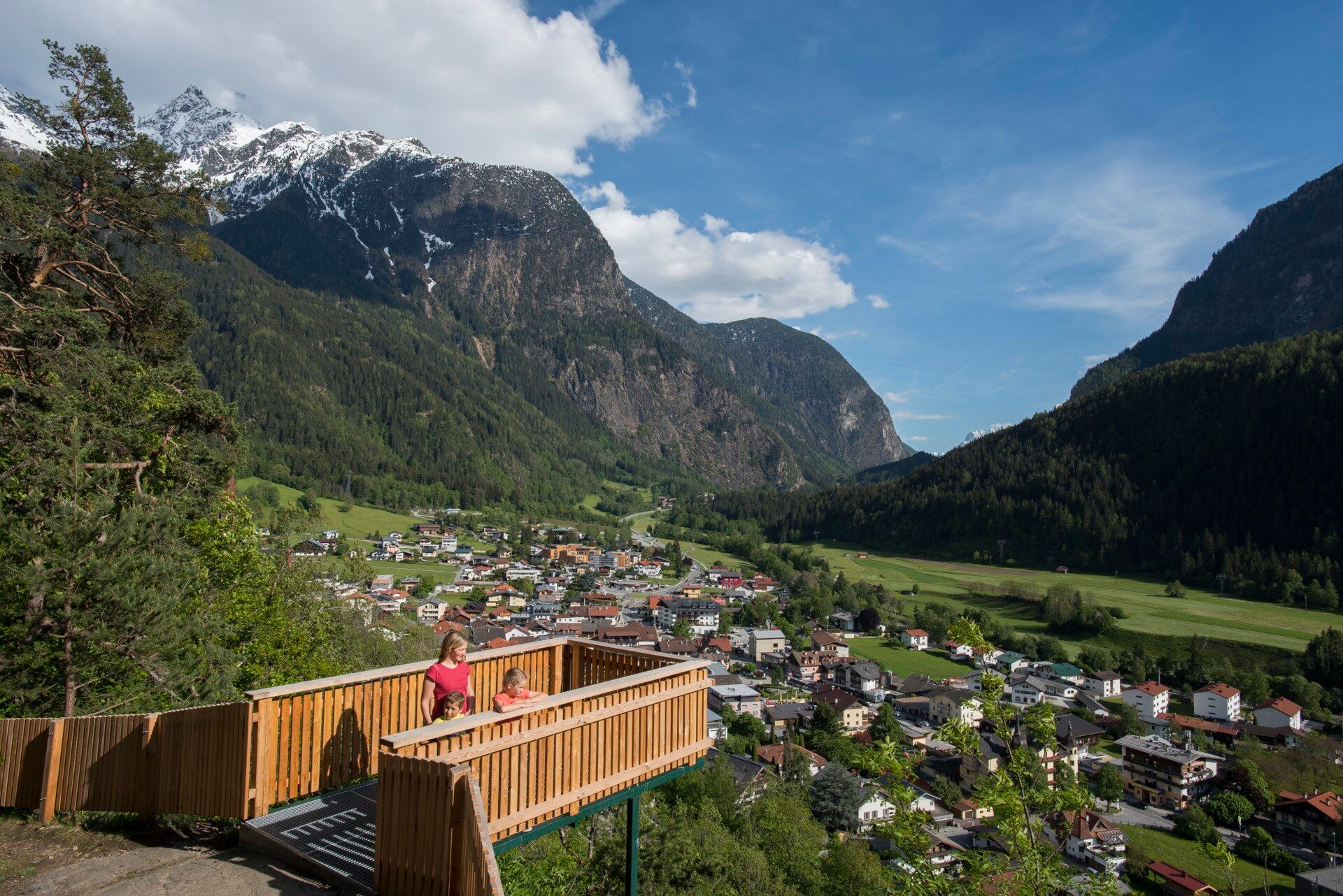
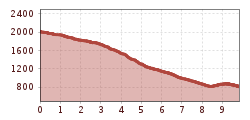
From the mountain station Hochoetz, you hike down to the left to the old Kühtaile Alm (not managed). Past the Alm, continue through the forest on the wide forest road steadily downhill. After a hairpin turn, the steep hiking path to Stufenreich branches off to the left. In Stufenreich, walk across the meadows further to Klingenburg. Below Klingenburg, you reach the viewing platform "Hexenplatte" to the parish church. Then follow the cross path to the right out to the Kalvarienberg chapel. There you reach again a wide forest road and stroll comfortably down to the valley station of the gondola.
On the route from Hochoetz to Oetz, you cover 1,200 meters of altitude; good hiking shoes and poles are recommended!
Travel comfortably and safely by train to the Ötztal railway station. The final stop or exit point is the ÖTZTAL station. Afterwards, you can conveniently and quickly travel by public bus or local taxis throughout the valley to your desired destination! The current bus schedule is available at: http://fahrplan.vvt.at
The following parking options are available:


")


