Mountain hikes Höhenweg Dreiländergrenzstein

Nauders / Sesvenna Group
Difficulty ratings: medium
Route length: 12.4 km
Duration: 6:30 h

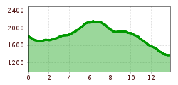
Take the chairlift up to Kleiner Mutzkopf, continue to Schwarzer See and Grüner See. From there, follow the path towards Großer Mutzkopf and at the fork in the path to the Dreiländergrenzstein.
Tour information

  • Requirement: medium
  • Length: 12.4 km
  • Duration: 6:30 h
  • Elevation uphill:753 hm
  • Elevation downhill:764 hm
Highest point2,165 m

Finishing point

Gasthof Martha

Best time of year

  • January
  • February
  • March
  • April
  • May
  • June
  • July
  • August
  • September
  • October
  • November
  • December
Source: TVB Tiroler Oberland

Description

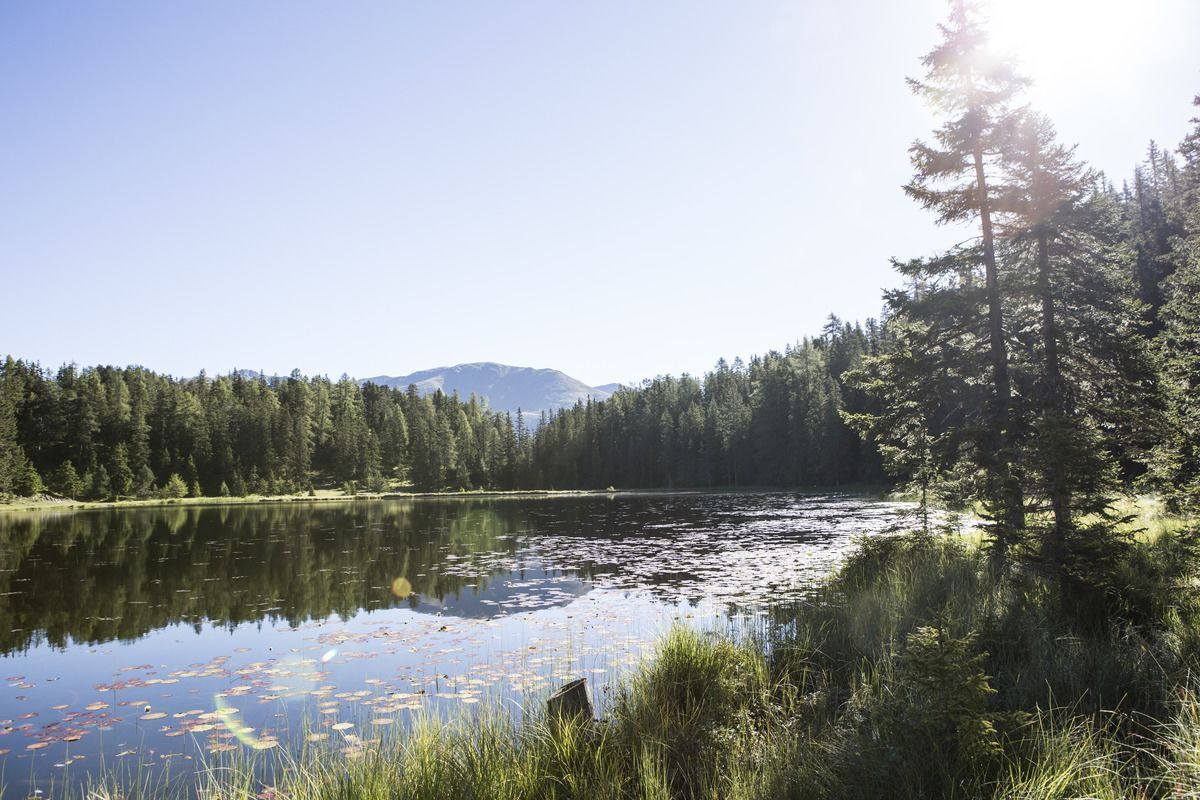
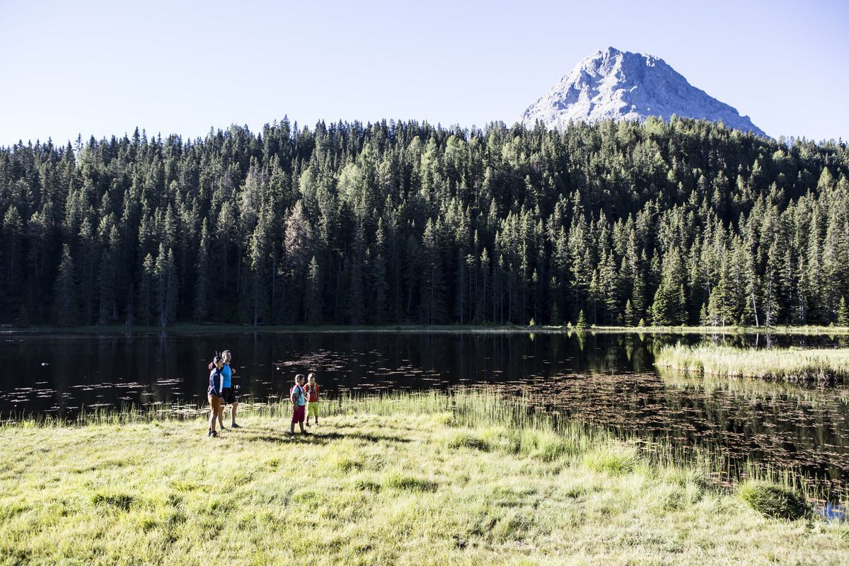
On the tour from Nauders to the Three-Country Boundary Stone at 2,179 m, you cross the borders to Italy and Switzerland in sections. The reward at the end is an impressive panorama. First take the Mutzkopf chairlift up to the Kleiner Mutzkopf (1,812 m). From the mountain station, trail no. 9 leads through the forest to the Black Lake. Continue along trail no. 6 to the Grüner See lake. You then follow this route to the "Großmutzkopf" junction and continue on trail no. 47 to the Dreiländergrenzstein. Return along trail no. 7 to the Großer Mutzkopf and continue downhill at the Tiefhof. From here the Tiefer Sommerweg leads back to Nauders.

Weather

Today

mainly clear
19°C/6°C
0%0l5 km/h

Sun

partly Cloudy
21°C/7°C
0%0l5 km/h

Mon

mainly clear
18°C/7°C
5%0l5 km/h
Go to weather forecast

More tours in the surrounding area

  • Sternenweg im Gepatsch

    Difficulty:medium
    Length:4.0 kmDuration:1:30 hElevation uphill:202 m
  • Großer Mutzkopf

    Opening hours:closed
    Difficulty:easy
    Length:10.3 kmDuration:4:00 hElevation uphill:507 m
  • Ötztal Trek Stage 15

    Difficulty:difficult
    Length:6.5 kmDuration:2:30 hElevation uphill:332 m
  • Rolli-Wanderung Aifner Alm

    Difficulty:medium
    Length:6.0 kmDuration:2:30 hElevation uphill:460 m
  • Rolli-Wanderung Nassereinalm

    Difficulty:medium
    Length:5.5 kmDuration:1:45 hElevation uphill:269 m
  • Rolli-Wanderung Gepatschhaus

    Length:8.5 kmDuration:1:45 hElevation uphill:156 m
  • Rolli-Wanderung Falkaunsalm

    Difficulty:medium
    Length:4.5 kmDuration:1:45 hElevation uphill:392 m
  • Talwanderweg Kaunertal

    Difficulty:easy
    Duration:2:30 hElevation uphill:295 m
  • Kaunerberger Wasserweg

    Opening hours:open
    Difficulty:medium
    Length:15.2 kmDuration:6:00 hElevation uphill:935 m
  • Gletscherlehrpfad Gepatschferner

    Difficulty:medium
    Length:8.4 kmDuration:3:45 hElevation uphill:400 m
  • Hohe Aifnerspitze (2.779 m)

    Difficulty:medium
    Length:7.2 kmDuration:5:15 hElevation uphill:815 m
  • Kapelle Maria Schnee

    Difficulty:easy
    Length:1.7 kmDuration:0:30 hElevation uphill:90 m
  • Radurschlklamm Gorge

    Opening hours:open
    Difficulty:medium
    Length:7.5 kmDuration:3:20 hElevation uphill:442 m
  • Rundwanderung Frudiger

    Difficulty:medium
    Length:13.5 kmDuration:4:55 hElevation uphill:588 m
  • Verpeilschlucht

    Opening hours:open
    Difficulty:medium
    Duration:3:00 hElevation uphill:386 m
Newsletter

The mountain is calling? So does our newsletter!

In our monthly newsletter we reveal the best holiday tips for Tyrol.