
Arrival by public transport
Tip: there is a hiking shuttle to the Radurschl every Tuesday
Beautiful high-altitude hike to the Hohenzollernhaus via the Sommersteig trail.
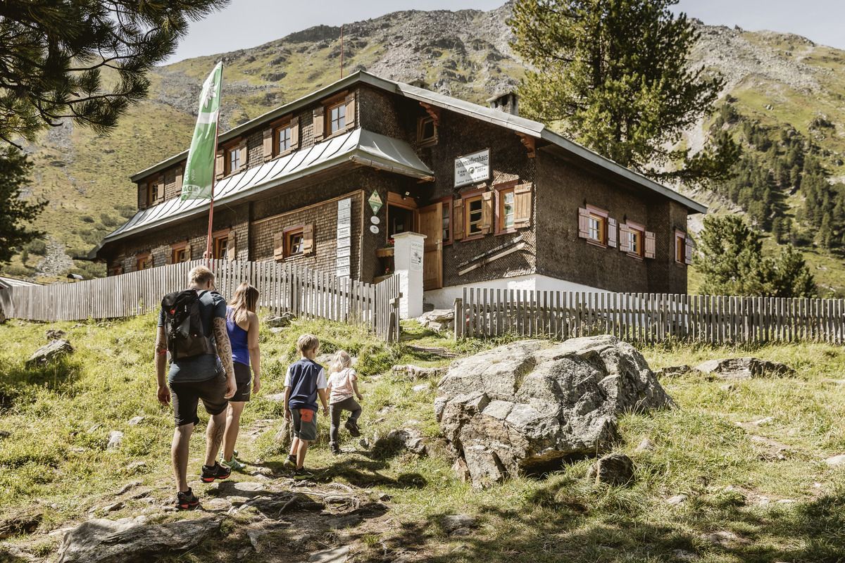
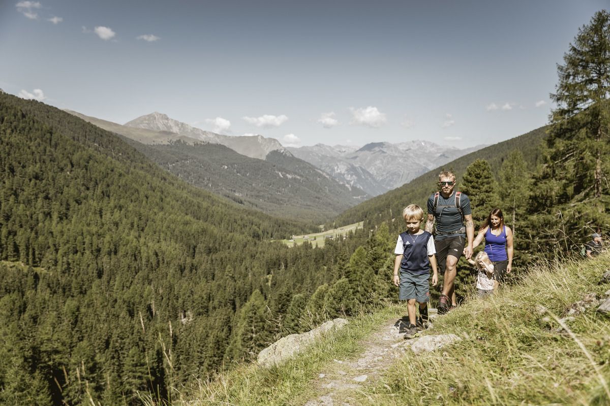
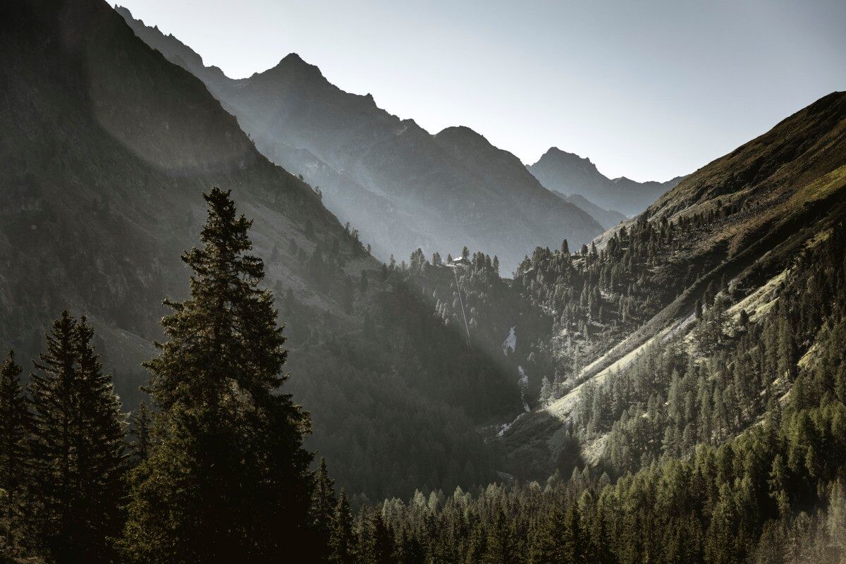
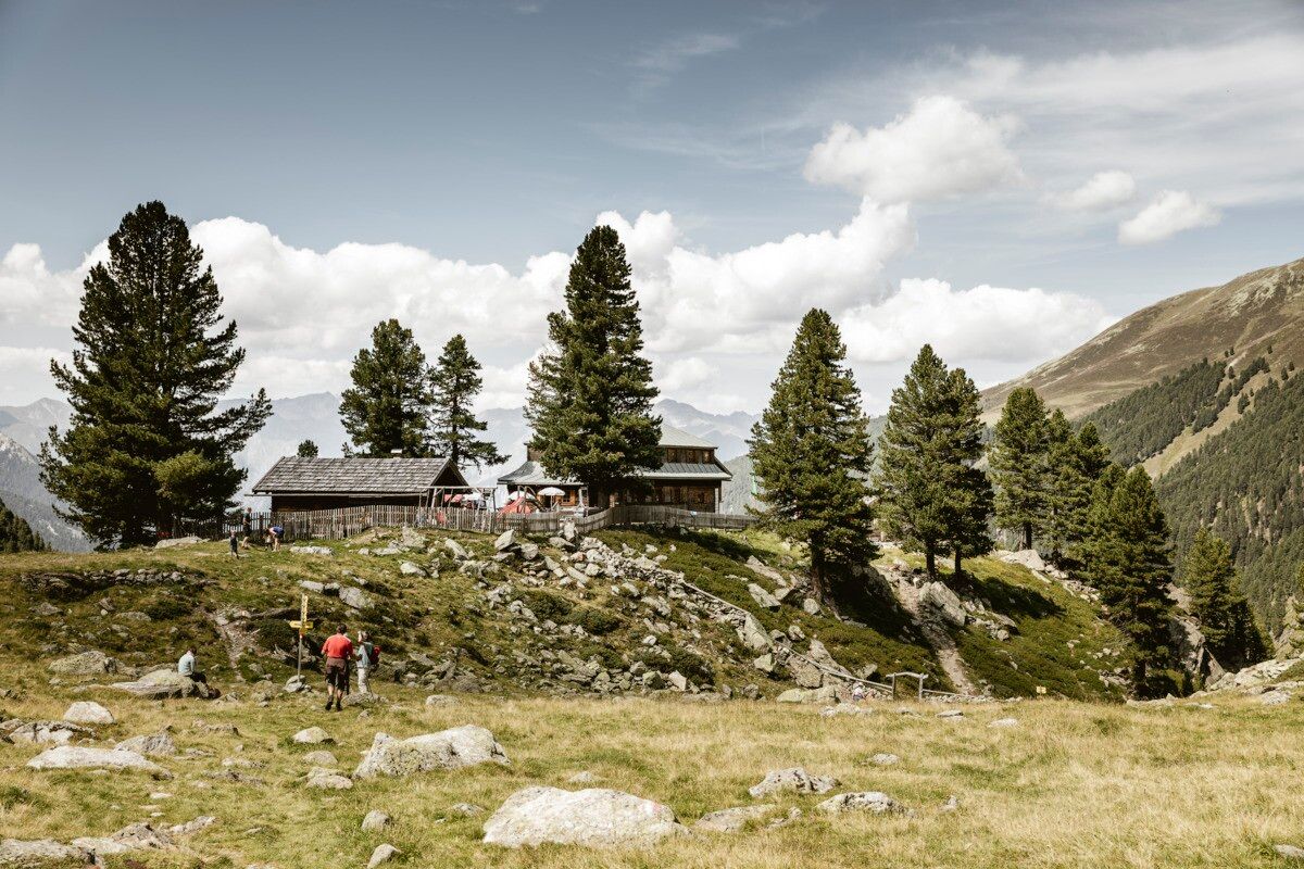
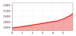
A family-friendly hike leads from the Wildmoos parking area along the rushing stream into the Radurschl Valley to the Radurschlalm. This route to the Hohenzollernhaus follows the Sommersteig trail: after crossing the bridge near the Radurschlalm, the so-called Sommersteig begins and steadily continues up the valley to the Hohenzollernhaus.
The Hohenzollernhaus offers ideal overnight accommodation as well as excellent food. Places to stop for refreshments along the route include the Radurschlalm and the Hohenzollernhaus. From the Hohenzollernhaus, the hike can optionally be extended to the picturesque mountain lake Smaragdsee.
The return follows the same route.
Tip: there is a hiking shuttle to the Radurschl every Tuesday
Parking area Wildmoos, paid parking
🅿️ New Parking Management System in the Radurschltal Valley
Signage installation in the Radurschltal Valley has been completed. The following regulations are now in effect:
🅿️ Parking Lots
1. P🚗 Wildmoos – 60 parking spaces (main parking lot with ticket machine)
2. P🚗 Schönboden – 25 parking spaces
3. P🚗 Wasserschloss – 30 spaces (access by authorization card only)
The authorization card is available exclusively to residents with primary residence in Pfunds at the Pfunds Municipal Office.
💶 Parking Rates
⏱️ 4 hours: €4
🕛 Day pass (until midnight): €6
📅 Each additional day: 4 €
🗓️ Maximum 1 week: 20 €
🎫 The parking ticket can only be purchased at the ticket machine at the Wildmoos parking lot (cash or debit card). It is valid for the Wildmoos and Schönboden parking lots, but not for the Wasserschloss parking lot.
⚠️ The ticket must be displayed clearly behind the windshield. Inspections are conducted by the Austrian Federal Forests (ÖBF).
ℹ️ Important: If you have questions about administrative penalties or fines you have received, please contact the Austrian Federal Forests directly. The municipality of Pfunds is solely responsible for issuing access permits.


