Hut hike Inneralpbach - Farmkehralm

Alpbach / Kitzbühel Alps
Difficulty ratings: medium
Route length: 10.0 km
Duration: 3:15 h

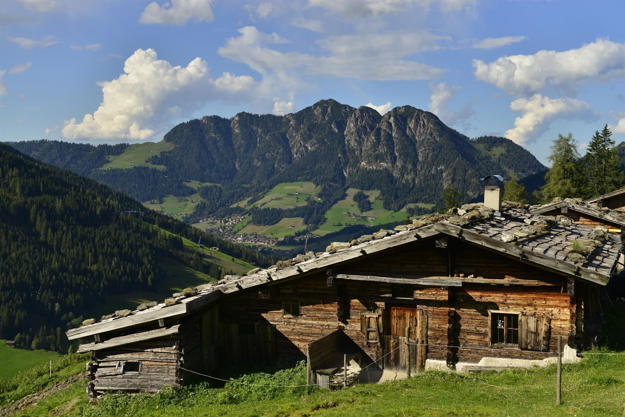
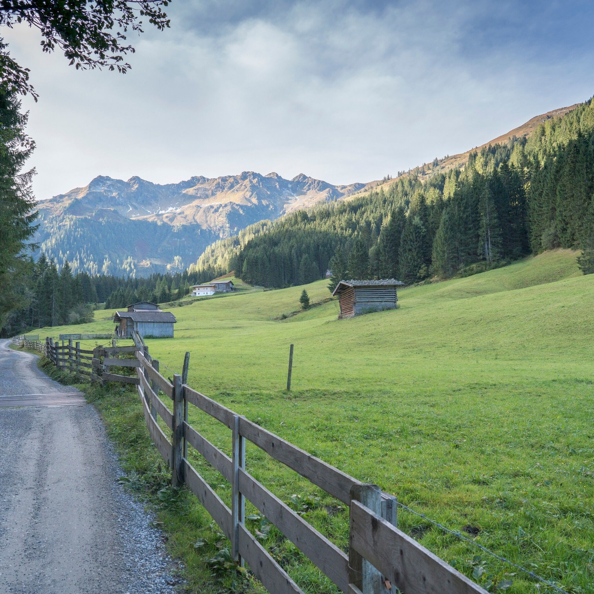
Hike along the Greiter stream to the rustic Farmkehralm

Tour information

  • Requirement: medium
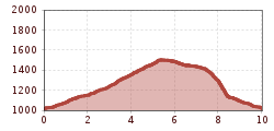
  • Length: 10.0 km
  • Duration: 3:15 h
  • Elevation uphill:504 hm
  • Elevation downhill:504 hm
Highest point1,517 m

Starting point

Inneralpbach parking lot, Alpbach

Finishing point

Inneralpbach parking lot, Alpbach
  • Fitness level 3 / 6

Best time of year

  • January
  • February
  • March
  • April
  • May
  • June
  • July
  • August
  • September
  • October
  • November
  • December

Equipment

Sturdy footwear and weather clothing

Source: Alpbachtal Tourismus

Description

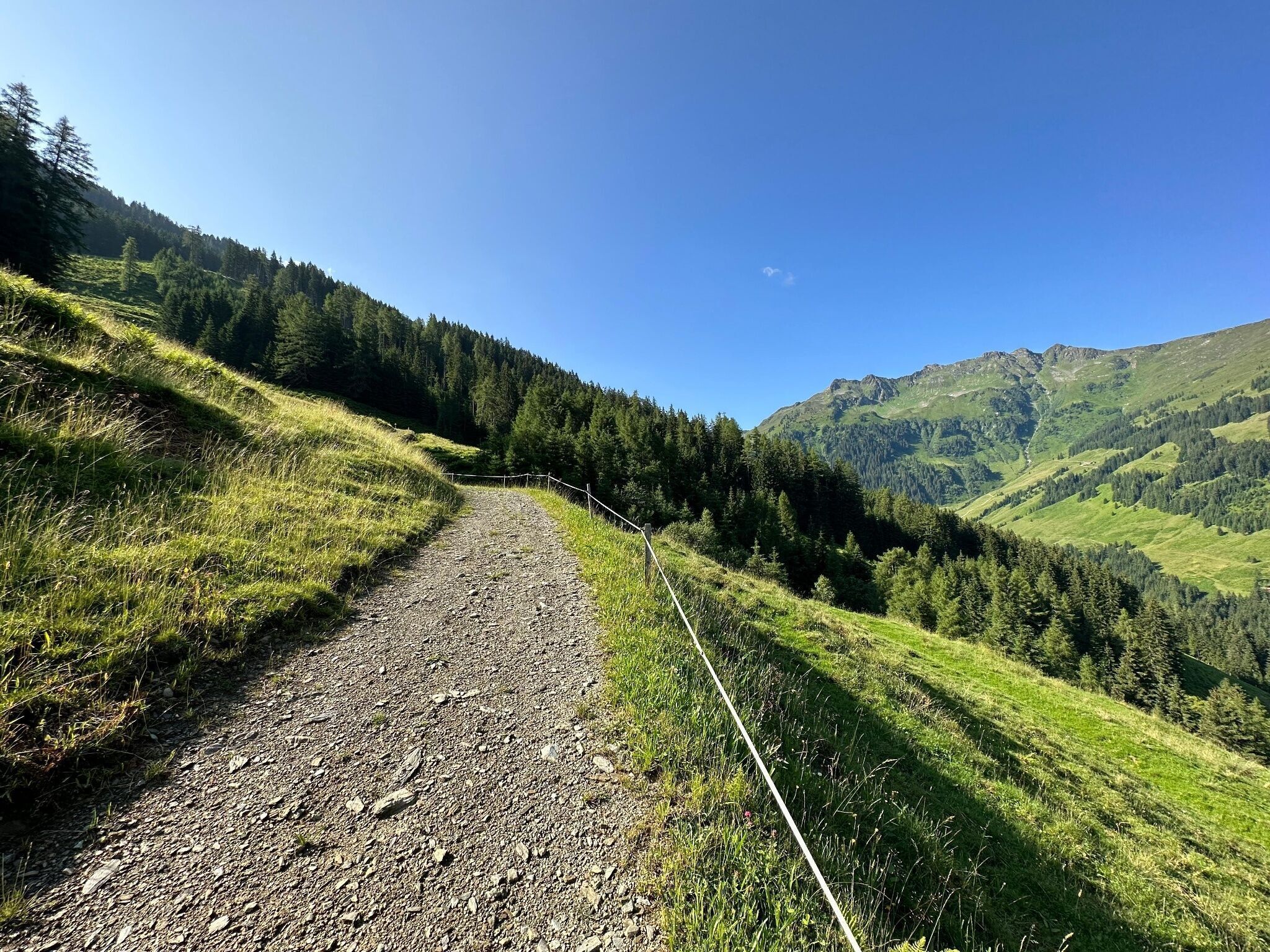
Right past the hotels, over the bridge into the Greiter Graben follow the paved road to the next parking lot (the route can also be started from here). From here a forest road now leads gently uphill to Greitalm further in a long left curve somewhat steeper uphill to Farmkehralm.

The return journey can be on the same route, or a bit more challenging, above Farmkehralm via the Jagdsteig to the Stettauer Almen.

After the Almen you have to pay attention to where you started:

If you parked your car at the former Gasthof Leitner, keep left steeply downhill over the bridge to the starting point.

If your car is in Inneralpbach, or you came by bus, keep right and go over a comfortable path to Inneralpbach.


Nearby huts and mountain restaurants

Getting here

  • Parking

    A12, Kramsach/Brixlegg highway exit, direction Brixlegg, direction Alpbachtal to Inneralpbach


    Inneralpbach or former Gasthof Leitner/Greiter Graben (fee required - cash and card payment possible!).

Weather

Today

mainly clear
10°C/1°C
15%0l5 km/h

Tue

mainly clear
14°C/1°C
10%0l5 km/h

Wed

light rain showers
11°C/4°C
70%2.9l5 km/h
Go to weather forecast

More tours in the surrounding area

  • Day 1: 4 days - 4 summits tour

    Difficulty:medium
    Length:9.8 kmDuration:5:00 hElevation uphill:984 m
  • Voldöpper Spitze Loop Hike

    Difficulty:medium
    Length:12.9 kmDuration:5:00 hElevation uphill:988 m
  • 3-peak-tour Kienberg-Plessenberg-Heuberg

    Difficulty:medium
    Length:8.6 kmDuration:4:30 hElevation uphill:779 m
  • Day 3: 4 days - 4 summits tour

    Difficulty:medium
    Length:19.3 kmDuration:8:00 hElevation uphill:1,371 m
  • Kaiser Gorge - loop trail

    Difficulty:easy
    Length:4.2 kmDuration:1:00 hElevation uphill:198 m
  • Farmkehralm 1.521 m

    Difficulty:medium
    Length:9.3 kmDuration:3:30 hElevation uphill:506 m
  • Barrier-free path Lake Reintal

    Difficulty:medium
    Length:7.0 kmDuration:1:45 hElevation uphill:15 m
  • 4 days - 4 summits tour

    Difficulty:medium
    Length:54.4 kmDuration:4 daysElevation uphill:3,408 m
  • Loop tour Juppi Zauberwald

    Difficulty:easy
    Length:2.5 kmDuration:1:00 hElevation uphill:93 m
  • 3-day Family Tour Alpbachtal

    Difficulty:easy
    Length:18.3 kmDuration:3 daysElevation uphill:998 m
  • Kundler Klamm

    Difficulty:easy
    Length:6.4 kmDuration:2:00 hElevation uphill:116 m
  • Rofan tour - stage 3

    Difficulty:difficult
    Length:11.8 kmDuration:7:30 hElevation uphill:1,150 m
Newsletter

The mountain is calling? So does our newsletter!

In our monthly newsletter we reveal the best holiday tips for Tyrol.