
Opening hours:Today closed
Place:Sölden
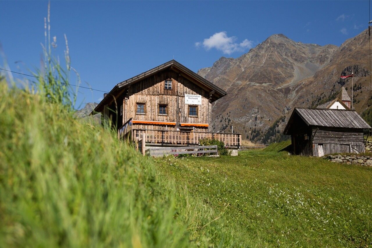
:Alpine pasture / hut / mountain restaurant
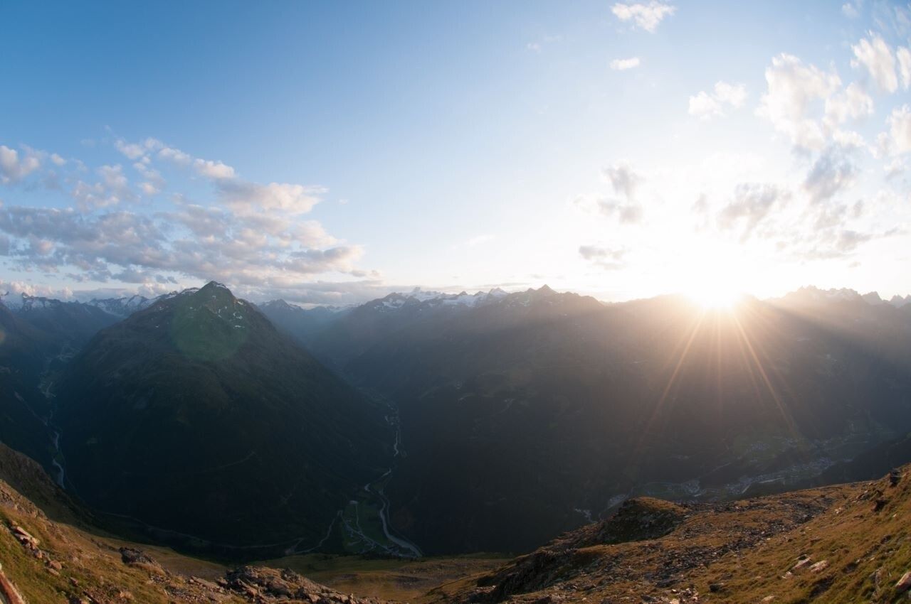
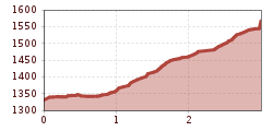
SÖLDEN -> JAUSENSTATION HOCHWALD -> SÖLDEN
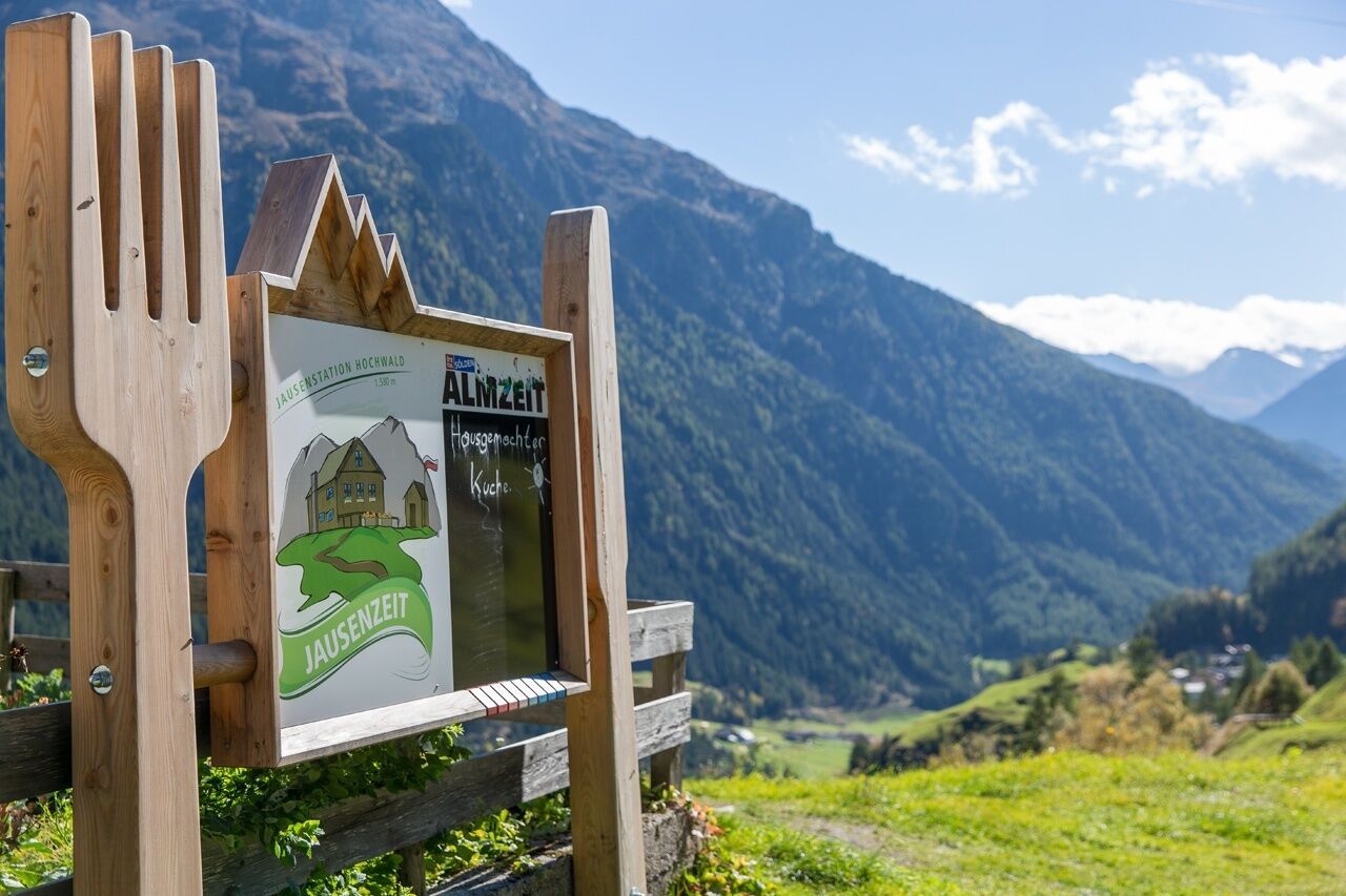
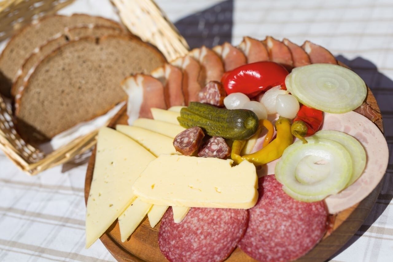
Jause, Brotzeit, Marende - three names for alpine, culinary pleasure! On the way up, the anticipation of the break with a snack is the best motivation.
In the Hochwald Jausenstation, really delicious things are served - for example tasty alpine products in form of a traditional Brettljause. The all-day warm meal kitchen provides you among other things with homemade sausages or Kaiserschmarren.
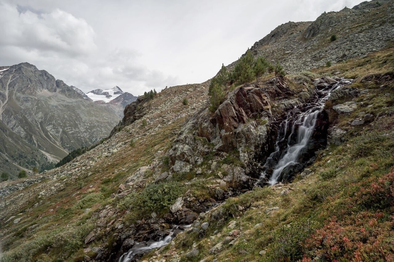
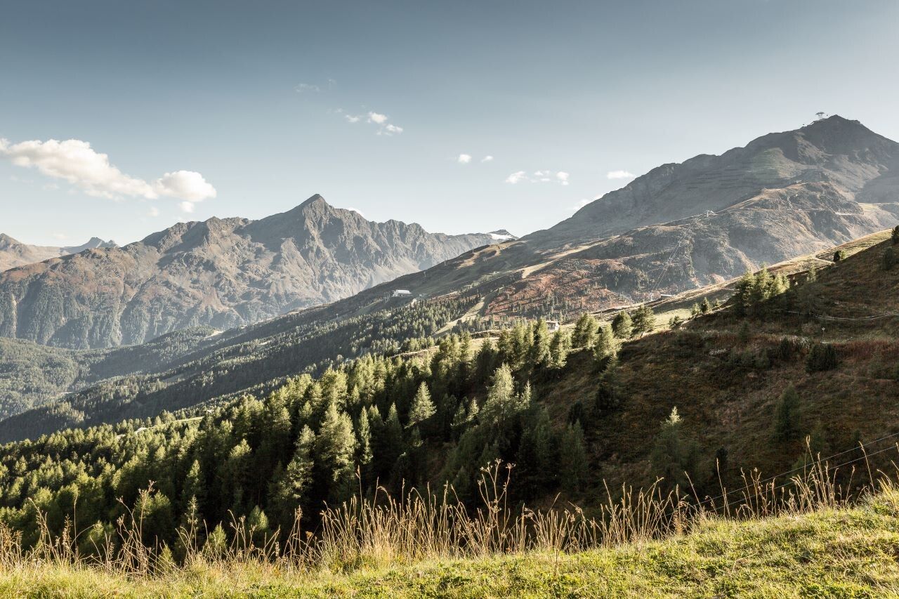
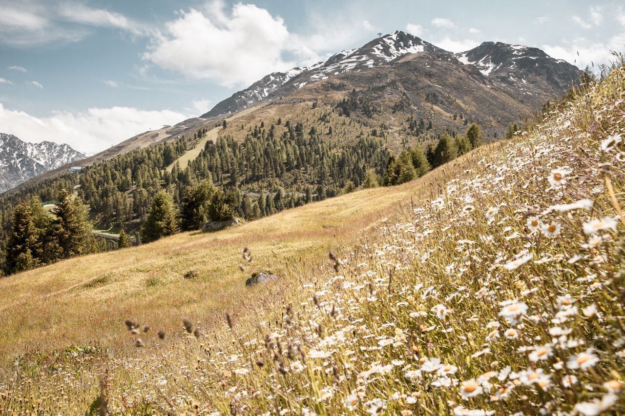
You hike from the Giggijochbahn valley station to the hamlet of Hainbach and continue via the so-called Kreuzweg to Leite. From Leite you continue to hike on the path to Granstein.
When you arrive in Granstein, follow along the wide forest road to the Hochwald Jausenstation.
Travel safe and comfortable with the train to the Ötztal Bahnhof train station. Last stop and exit point is the train station Ötztal Bahnhof. Afterwards you can travel smoothly and quick with the public transport or our localtaxi companies through the valley to your desired destination. Please find the current bus timetable here:http://fahrplan.vvt.at
The following parking facilities are available in Sölden:
All parking is free during the day.
Parking for several days (eg hike tour):


