Mountain hikes Kapellenrunde Reither Kogel

Reith im Alpbachtal / Kitzbühel Alps
Difficulty ratings: easy
Route length: 6.4 km
Duration: 1:54 h

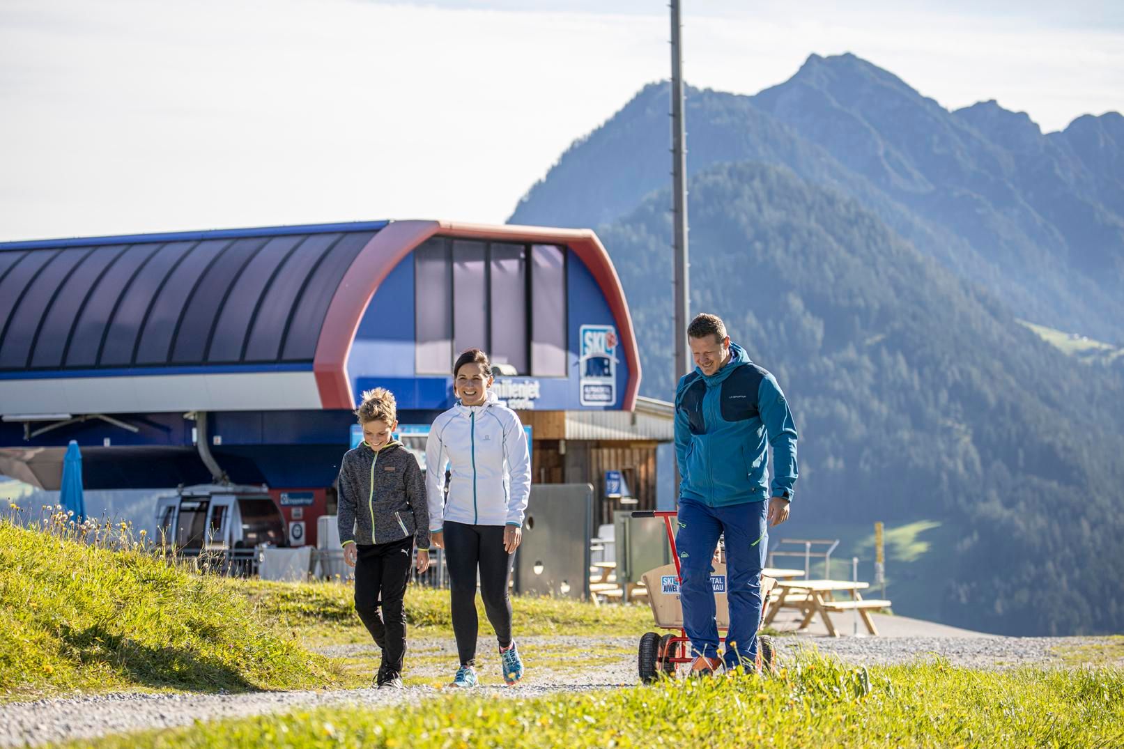
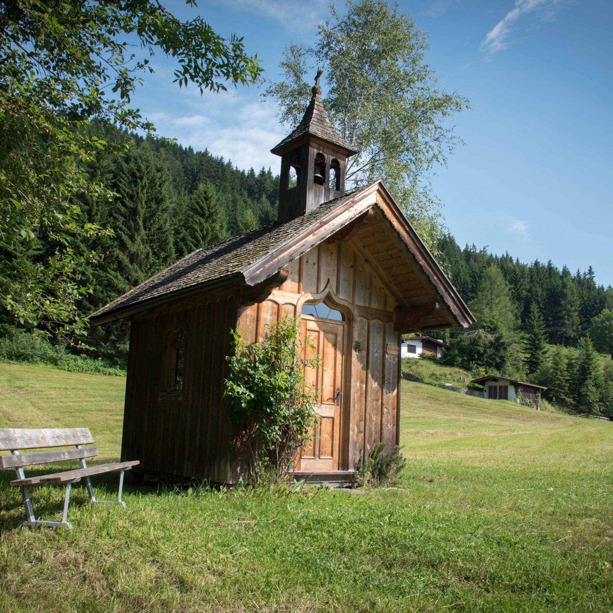
Scenic circular hike on the Reither Kogel featuring panoramic views, four charming chapels, traditional farmhouses and only a small elevation gain.
Tour information

  • Requirement: easy
  • Length: 6.4 km
  • Duration: 1:54 h
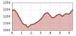
  • Elevation uphill:231 hm
  • Elevation downhill:206 hm
Highest point1,204 m

Starting point

Reitherkogelbahn

Finishing point

Reitherkogelbahn
  • Fitness level 2 / 6
  • Technique 2 / 6

Features

  • Circular route

Best time of year

  • January
  • February
  • March
  • April
  • May
  • June
  • July
  • August
  • September
  • October
  • November
  • December

Equipment

Sturdy hiking boots, Rain gear, Drinking water, Snacks / food, Sun protection (sunscreen, sunglasses and a hat)
Source: Alpbachtal Tourismus

Description

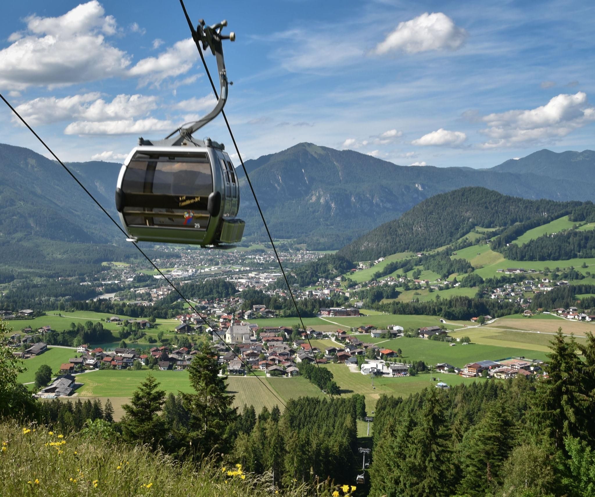
The Kapellenrunde Reither Kogel combines nature, culture and stunning mountain scenery on an easy circular hike above Reith im Alpbachtal. Thanks to the Reitherkogelbahn, the tour begins comfortably at around 1,200 metres above sea level. For guests staying in the region, rides on the summer cable car are included with the Alpbachtal Card.

Right from the mountain station, spectacular views of the Alpbachtal Valley and the surrounding Tyrolean mountains await. The trail first leads through peaceful woodland to the Rosary Chapel (Rosenkranzkapelle), a unique place of reflection that is well known for its unusual rosary vending machine.

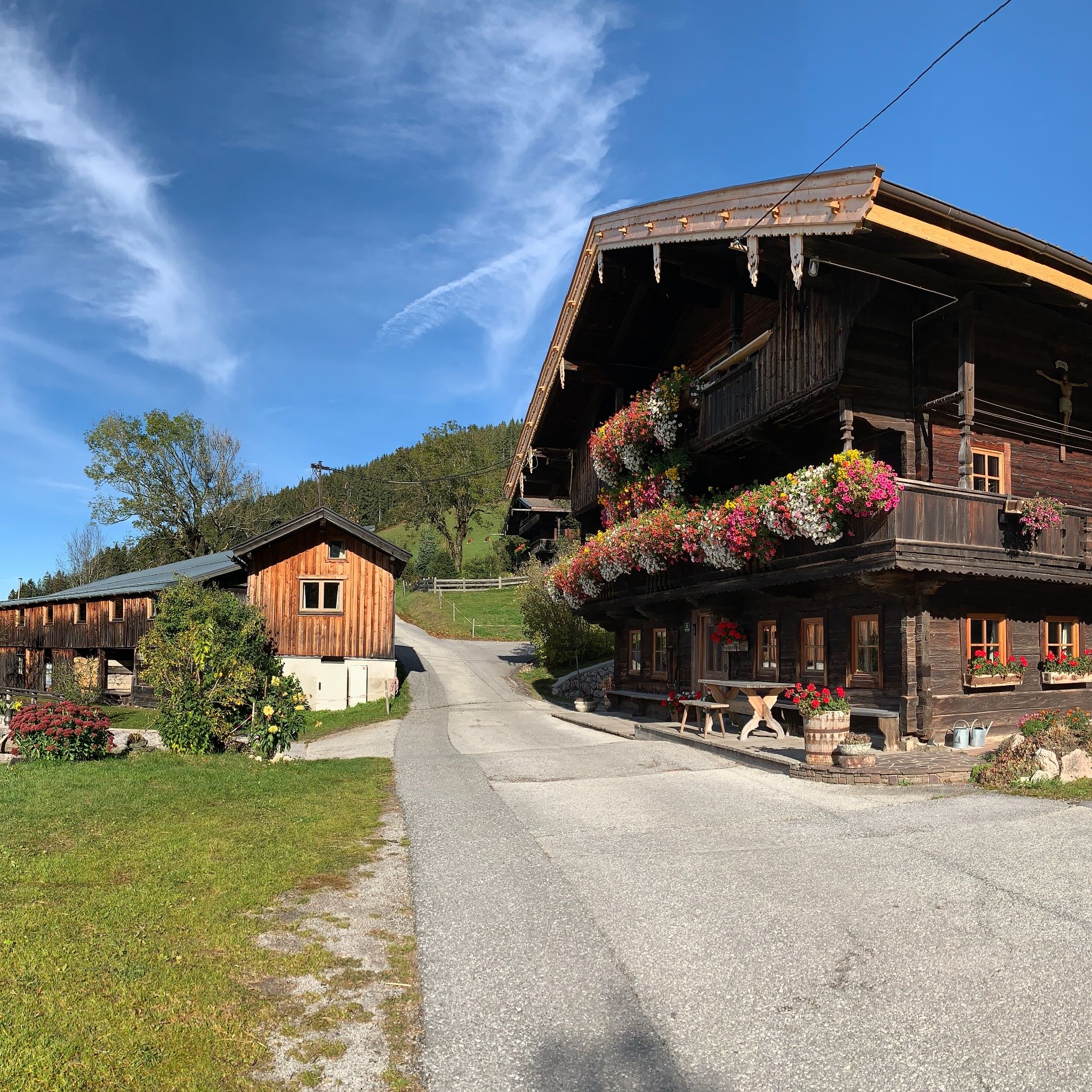
The route then continues gently uphill to the Kerschbaumersattel, where the picturesque Kupfner Chapel is located. Along the way, you will pass beautiful traditional farmhouses and enjoy wonderful views of the surrounding cultural landscape. The Hinterkogel Chapel and the Schwab Chapel are further highlights, inviting visitors to pause and experience a piece of Tyrolean heritage.

The circular trail eventually leads back to the mountain station of the Reitherkogelbahn. With a walking time of around 2 hours and only about 200 metres of elevation gain, this hike is ideal for families, leisure hikers and anyone looking to combine nature, culture and local traditions in a relaxed mountain setting.

After the hike, Café Heisn near the valley station or the cafés and restaurants in the village centre of Reith im Alpbachtal offer the perfect opportunity to enjoy refreshments and regional specialities.


Nearby huts and mountain restaurants

Getting here

  • Parking

    A12 motorway – take the Kramsach exit, then turn left into the Alpbachtal Valley. Continue past Reith im Alpbachtal towards Alpbach. The Wiedersbergerhorn cable car valley station is located on the right-hand side.
    Reitherkogelbahn

Weather

Today

light rain
11°C/2°C
85%8.8l5 km/h

Mon

clear sky
12°C/2°C
10%0l5 km/h

Tue

mainly clear
16°C/2°C
5%0l5 km/h
Go to weather forecast

More tours in the surrounding area

  • Rofan tour - stage 3

    Difficulty:difficult
    Length:11.8 kmDuration:7:30 hElevation uphill:1,150 m
  • Day 1: 4 days - 4 summits tour

    Difficulty:medium
    Length:9.8 kmDuration:5:00 hElevation uphill:984 m
  • 3-peak-tour Kienberg-Plessenberg-Heuberg

    Difficulty:medium
    Length:8.6 kmDuration:4:30 hElevation uphill:779 m
  • Day 3: 4 days - 4 summits tour

    Difficulty:medium
    Length:19.3 kmDuration:8:00 hElevation uphill:1,371 m
  • 4 days - 4 summits tour

    Difficulty:medium
    Length:54.4 kmDuration:4 daysElevation uphill:3,408 m
  • Voldöpper Spitze Loop Hike

    Difficulty:medium
    Length:12.9 kmDuration:5:00 hElevation uphill:988 m
  • Kundler Klamm

    Difficulty:easy
    Length:6.4 kmDuration:2:00 hElevation uphill:116 m
  • Farmkehralm 1.521 m

    Difficulty:medium
    Length:9.3 kmDuration:3:30 hElevation uphill:506 m
  • Loop tour Juppi Zauberwald

    Difficulty:easy
    Length:2.5 kmDuration:1:00 hElevation uphill:93 m
  • Kaiser Gorge - loop trail

    Difficulty:easy
    Length:4.2 kmDuration:1:00 hElevation uphill:198 m
  • 3-day Family Tour Alpbachtal

    Difficulty:easy
    Length:18.3 kmDuration:3 daysElevation uphill:998 m
  • Barrier-free path Lake Reintal

    Difficulty:medium
    Length:7.0 kmDuration:1:45 hElevation uphill:15 m
Newsletter

The mountain is calling? So does our newsletter!

In our monthly newsletter we reveal the best holiday tips for Tyrol.