
Opening hours:Open today
Place:Hochgurgl
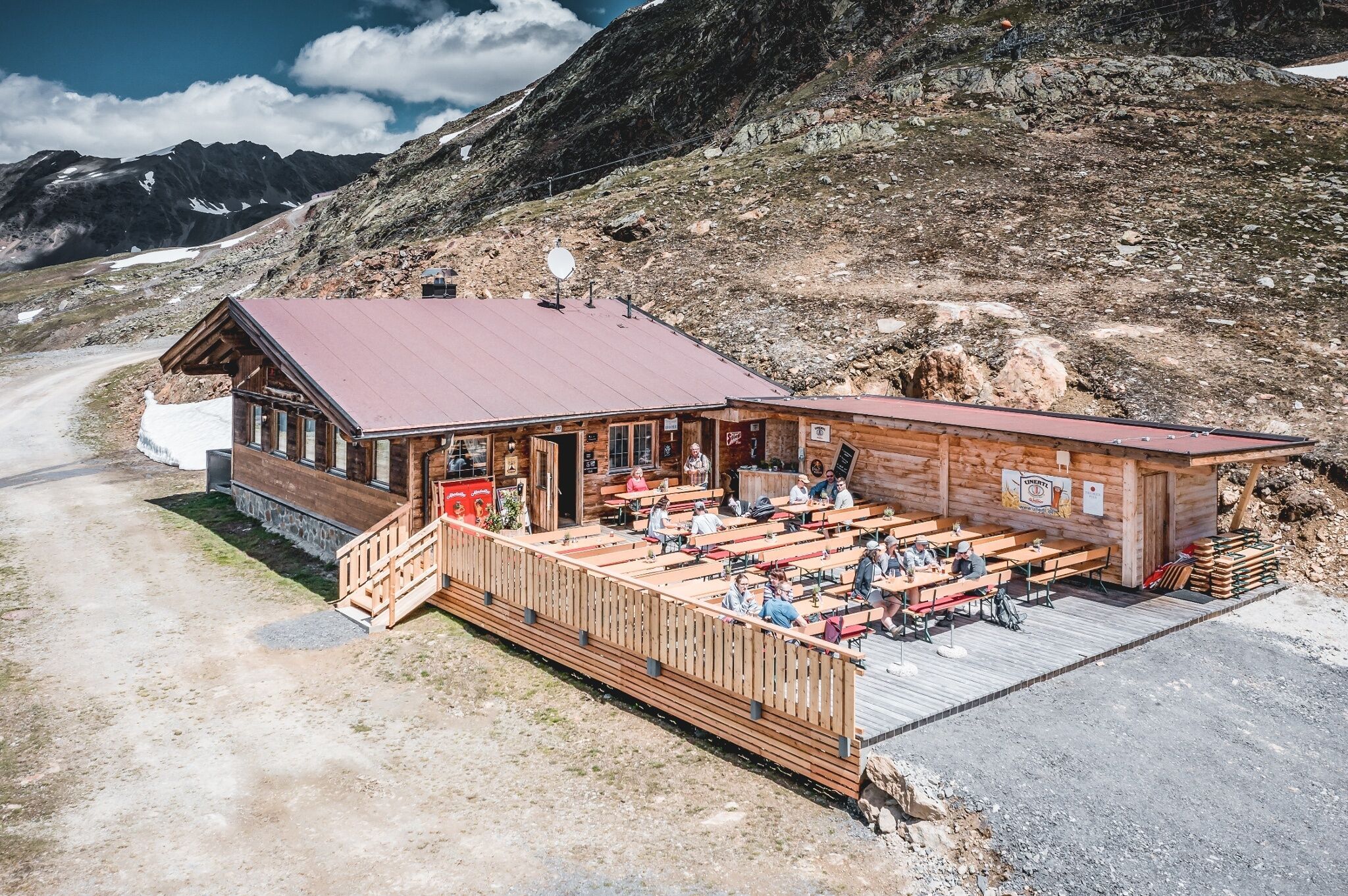
:Restaurant
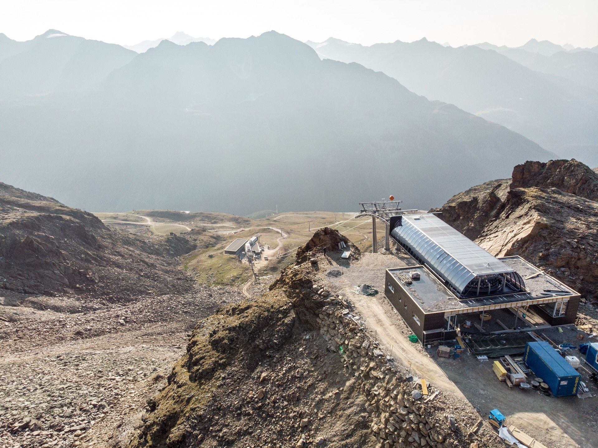
HOCHGURGL CROSSPOINT -> KIRCHENKARHÜTTE


Moderately difficult mountain path; suitable for sure-footed and experienced mountain hikers.
Good physical condition, mountain experience and mountain equipment (see under Equipment) necessary. Please check the current weather report at: www.oetztal.com/de/sommer.html
Appropriate equipment such as breathable and weather-appropriate outdoor clothing, ankle-high hiking boots, wind, rain and sun protection, a hat, and possibly gloves, is required for all hikes and routes. It is necessary to carry a first-aid kit, a mobile phone, and possibly a hiking map, as well as sufficient provisions for hikes without catering options.
The start of this route is behind the Top Mountain Crosspoint. From there, the wide path leads directly to the Kirchenkarhütte. The path continues further via new platforms up to the mountain station at 2,839 m.
Travel comfortably and safely by train to the Ötztal train station. The final stop or exit point is the ÖTZTAL station. Afterwards, you can conveniently and quickly travel with public transport or local taxi companies throughout the valley to your desired destination.
The current bus schedule is available at: http://fahrplan.vvt.at
The following parking options are available in Gurgl:


