
Opening hours:Today closed
Place:
Oetz
:
Restaurant, Alpine pasture / hut / mountain restaurant
PANORAMARESTAURANT HOCHOETZ -> Bielefelder Hut -> Weather Cross -> Wörgetal -> Pucher Lake -> Knappenhaus -> Obere Issalm -> Balbach-> PANORAMARESTAURANT HOCHOETZ

Moderately difficult mountain route, suitable for sure-footed and experienced mountain hikers. Good physical condition, mountain experience and mountain equipment (see equipment) required. Please note the current weather report at: www.oetztal.com/en/summer.html
Appropriate equipment such as breathable and weather-appropriate outdoor clothing, ankle-high hiking boots, wind, rain and sun protection, hat, possibly gloves, is required for all hikes and routes. Carrying a first aid kit, a mobile phone and possibly a hiking map, as well as sufficient provisions for hikes without any refreshment options, is necessary.
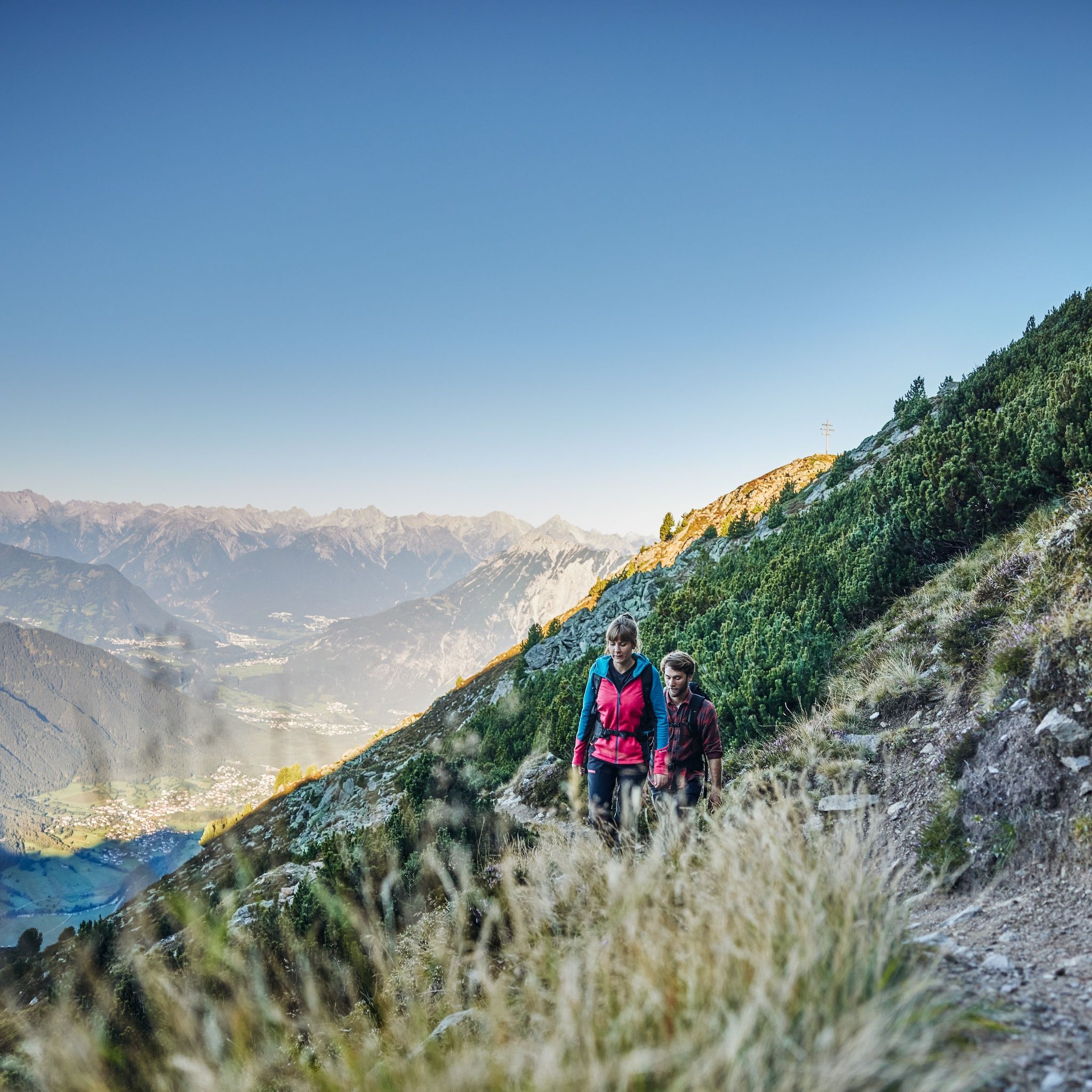
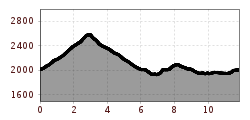
Ascent with the Acherkogelbahn at the outskirts of Oetz. The starting point of the hike is the Panoramic Restaurant Hochoetz at 2,020 m above sea level. From there, a wide forest road initially leads towards the Bielefelder Hut. Afterwards, a steep ascent begins, which shortly below the Brunnenkopf summit turns into a gently running ridge path. This winds attractively along the mountainside.
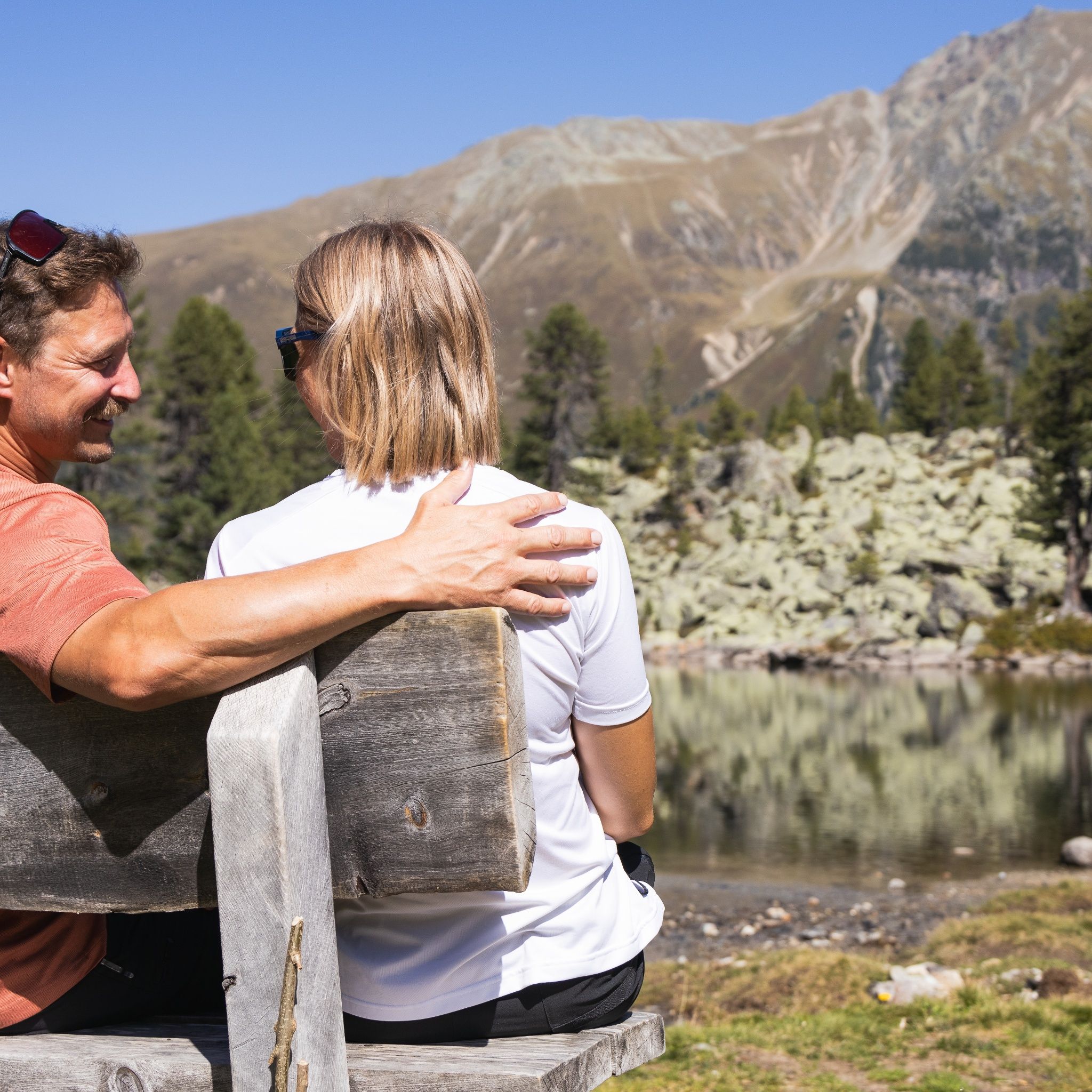
At a fork in the path, the ascent to Rosskopf branches off to the left, while the trail continues to the weather cross, which you reach after a moderate climb. From the summit, there is an impressive panorama of the Stubai Alps and the Mieming chain, ideal for a short rest with a view.
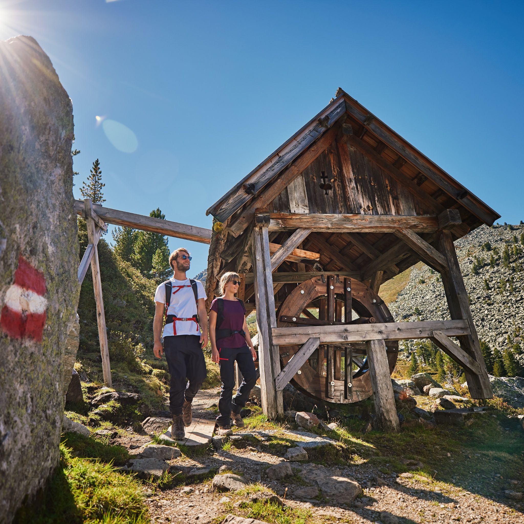
The descent takes place on the back of the weather cross down into the wild romantic Wörgetal. A narrow trail winds through this secluded valley section to the Knappenhaus with stamp mill, a faithfully reconstructed ore processing plant. Here you dive deep into the over 350-year mining history of the region. A real highlight of the route.
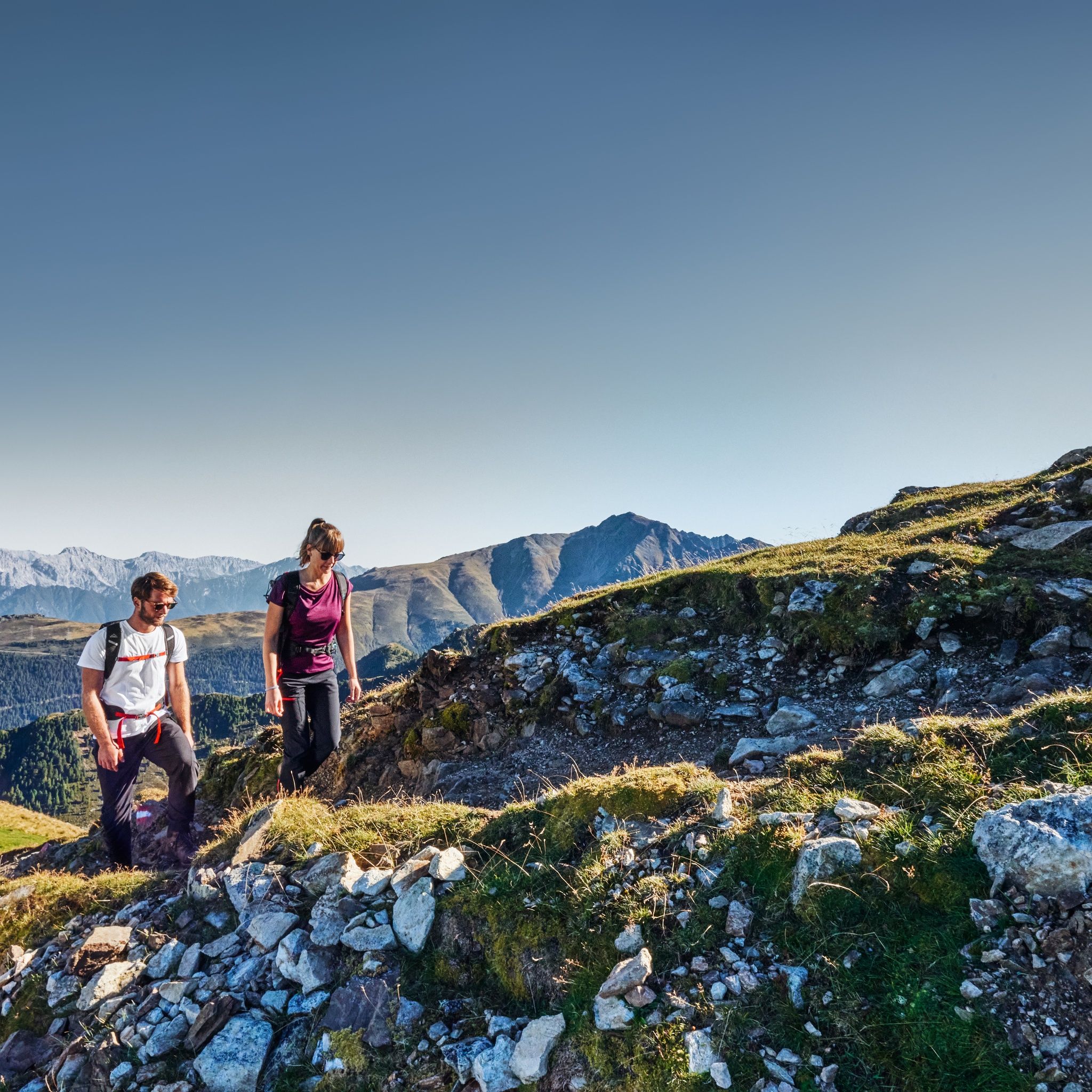
A little further, the path leads past the idyllic Pucher Lake, then over the now dilapidated Obere Issalm. Here the path branches left to the Balbach Alm. Two short but steep ascents lead through a dreamlike landscape: past stone pines and fragrant alpine roses. The Balbach Alm invites you to a cozy stop, ideal for a break with Tyrolean delicacies. Finally, the return takes place via the so-called "Glück auf Weg" through the gentle slopes full of alpine roses towards the Hochoetz mountain station, where the loop closes.
The entire route is about 11.9 kilometers long, classified as demanding, and takes about 5-6 hours to complete. The best time for this route is between June and October.
Tip: Use the free audio guide Hearonymus and experience the Knappenweg with exciting stories directly on the trail!
Travel comfortably and safely by train to the Ötztal train station. The terminus or exit point is the ÖTZTAL train station. Afterwards, you can travel conveniently and quickly with public transport or local taxi companies through the entire valley to your desired destination! The current bus schedule is available at: http://fahrplan.vvt.at
The following parking options are available:
Acherkogelbahn parking lot (fee required)
Rafting entry point parking lot (at the outskirts of Oetz on the right side) (fee required)
Oetz central parking lot (fee required)
Overnight parking during multi-day tours: Central parking lot Oetz, the ticket is available at the Oetz information office.


")


