Long-distance hike Lechtaler Höhenweg

Imst / Lechtaler Alpen
Difficulty ratings: difficult
Route length: 70.0 km
Duration: 41:00 h

This magnificent trail leads in elegant lines and partly over the numerous peaks. The Lechtal Alps represent the longest closed ridge in the Northern Limestone Alps.

Tour information

  • Requirement: difficult
  • Length: 70.0 km
  • Duration: 41:00 h
  • Elevation uphill:6,100 hm
  • Elevation downhill:5,800 hm
Highest point2,766 m

Starting point

767

Finishing point

Anhalter Hütte bzw. Elmen im Lechtal
  • Fitness level 5 / 6
  • Technique 5 / 6

Features

  • Multi-day hike

Best time of year

  • January
  • February
  • March
  • April
  • May
  • June
  • July
  • August
  • September
  • October
  • November
  • December
Source: Outdoorregion Imst

Description

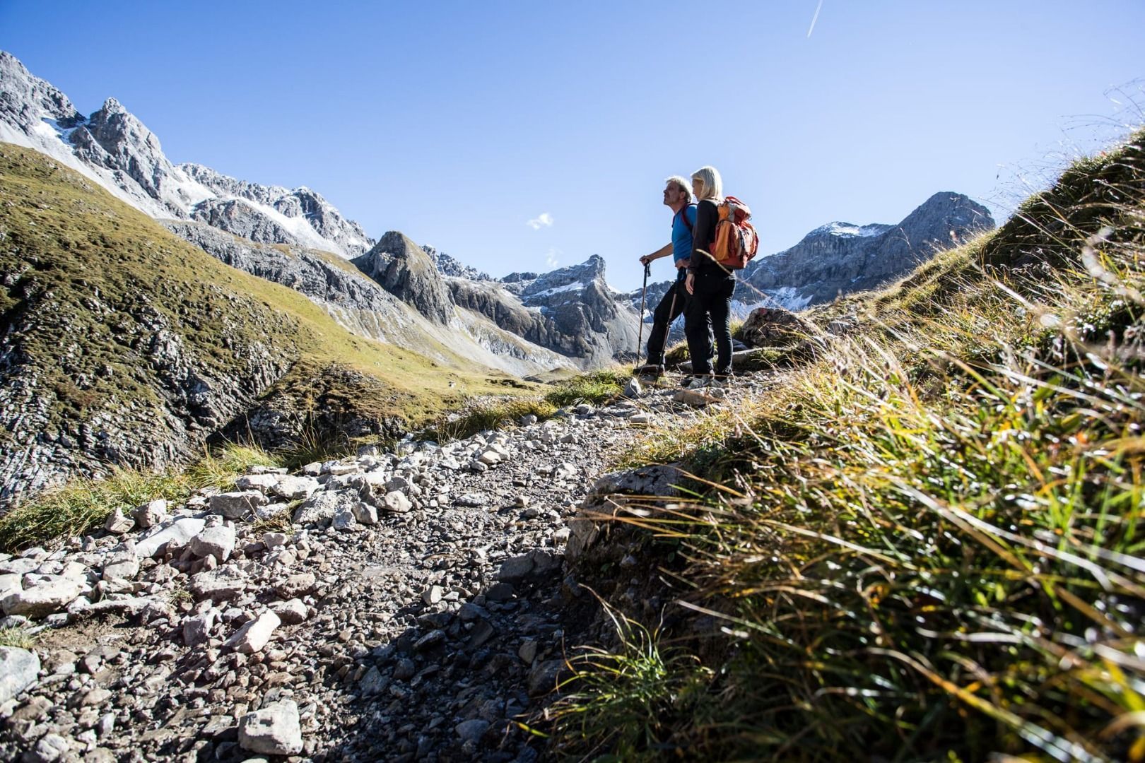
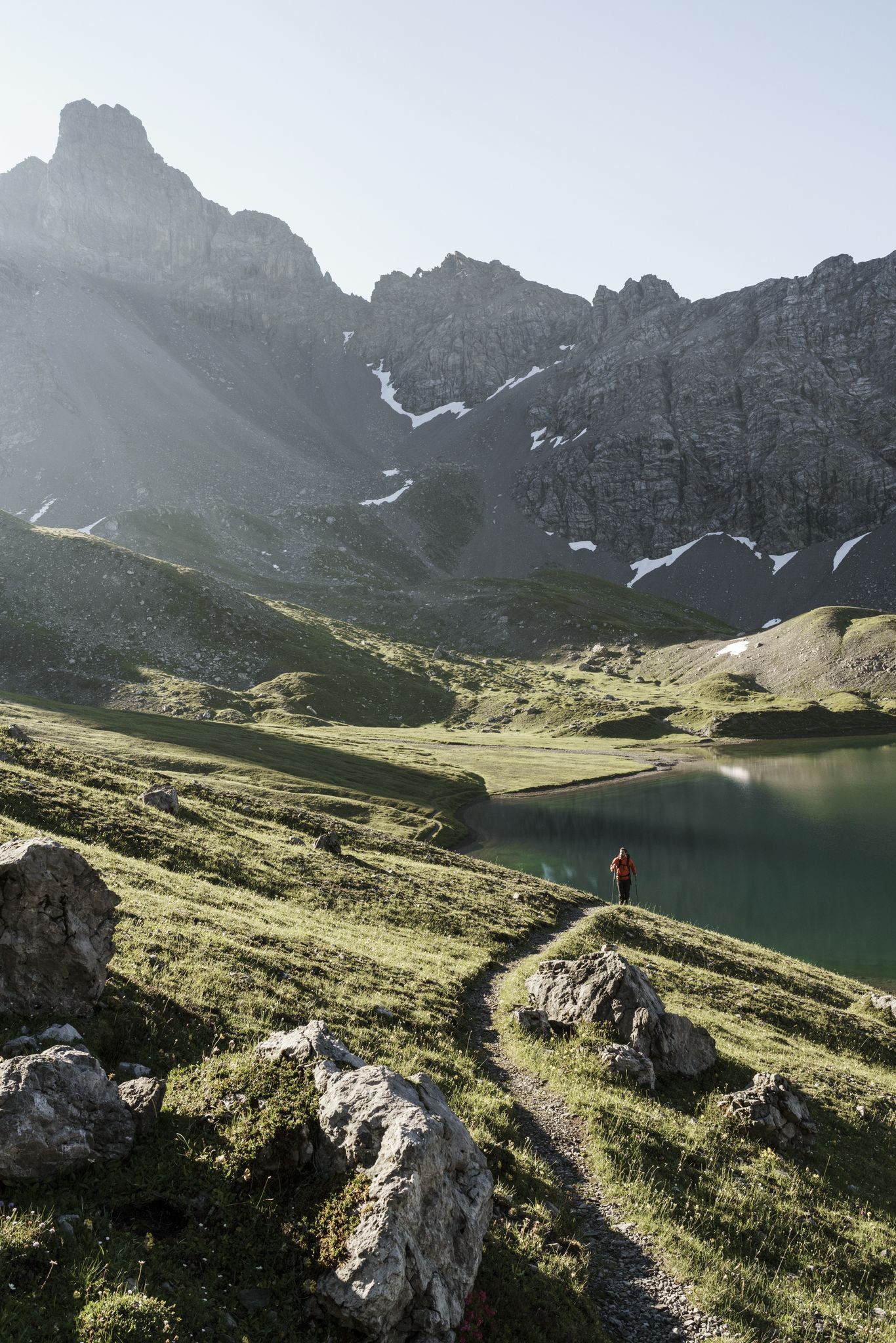
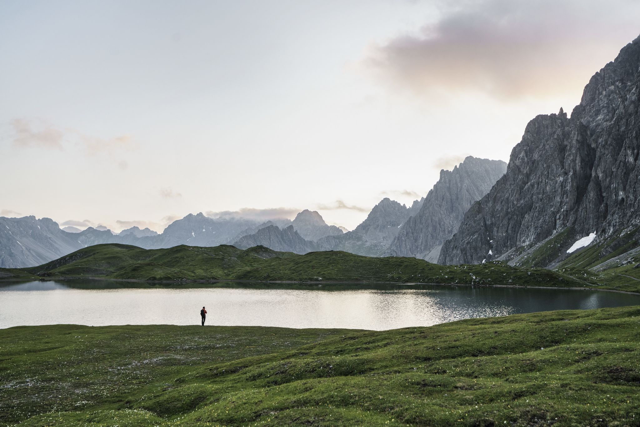
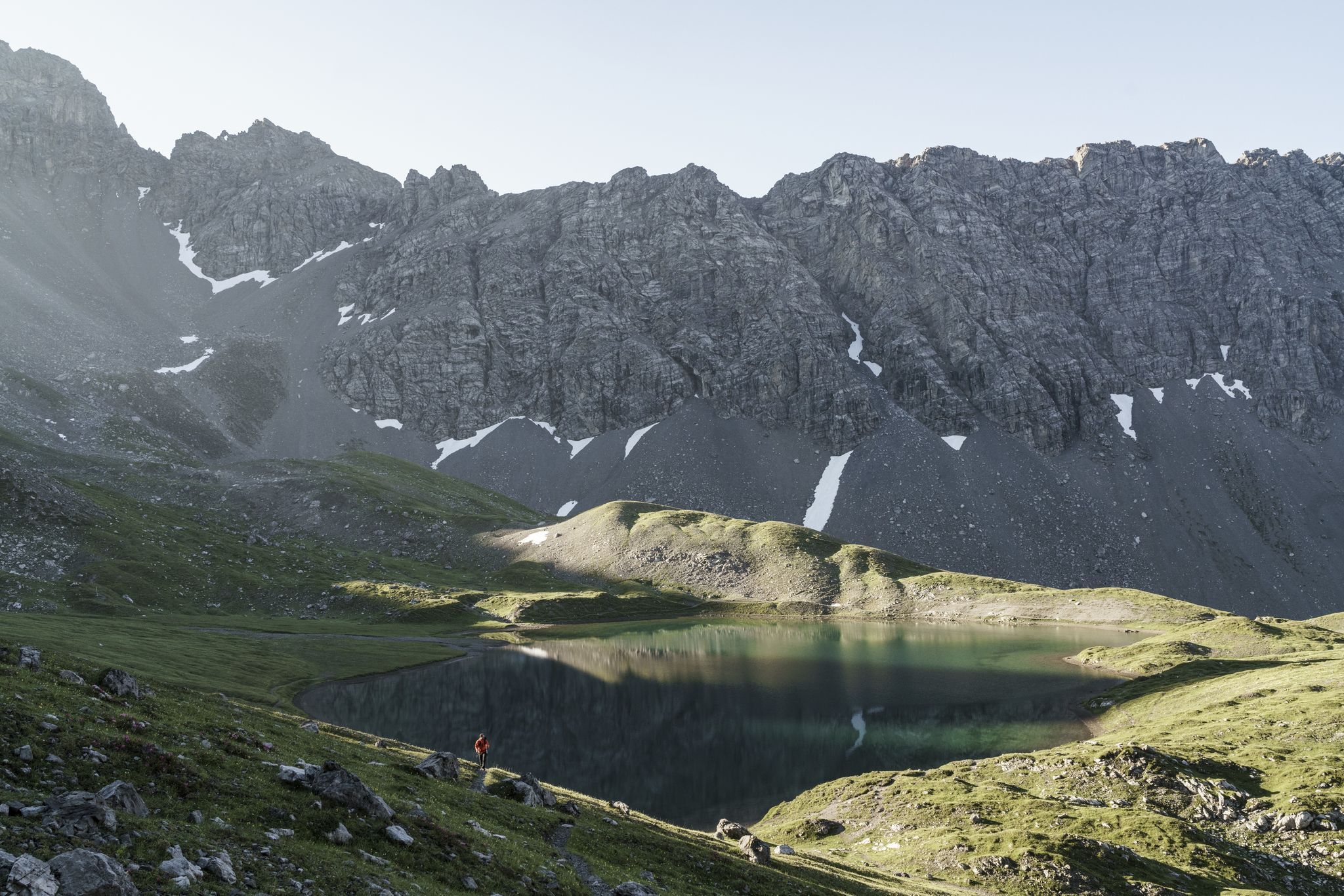
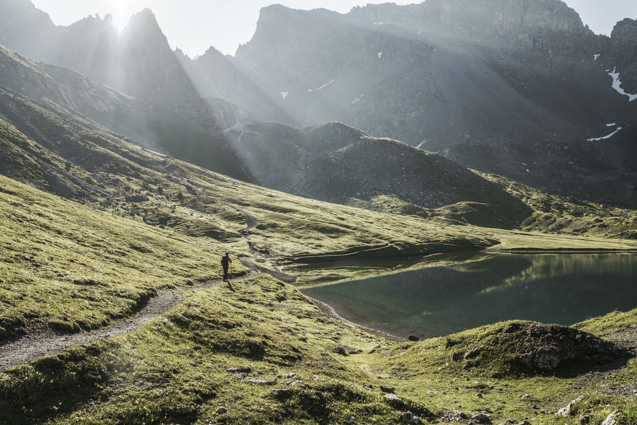
Its highest elevation, the 3,036 m high Parseier Spitze, is the only 3,000-meter peak. The Lechtaler Höhenweg follows in its entire course the Nordalpenweg (long-distance hiking trail) no. 601 or the European long-distance hiking trail no. 4 alpine.
 

More long-distance hiking trails

Newsletter

The mountain is calling? So does our newsletter!

In our monthly newsletter we reveal the best holiday tips for Tyrol.