Lindachweg

Tösens / Ötztal Alps
Difficulty ratings: easy
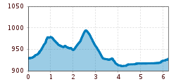
Route length: 6.2 km
Duration: 1:50 h

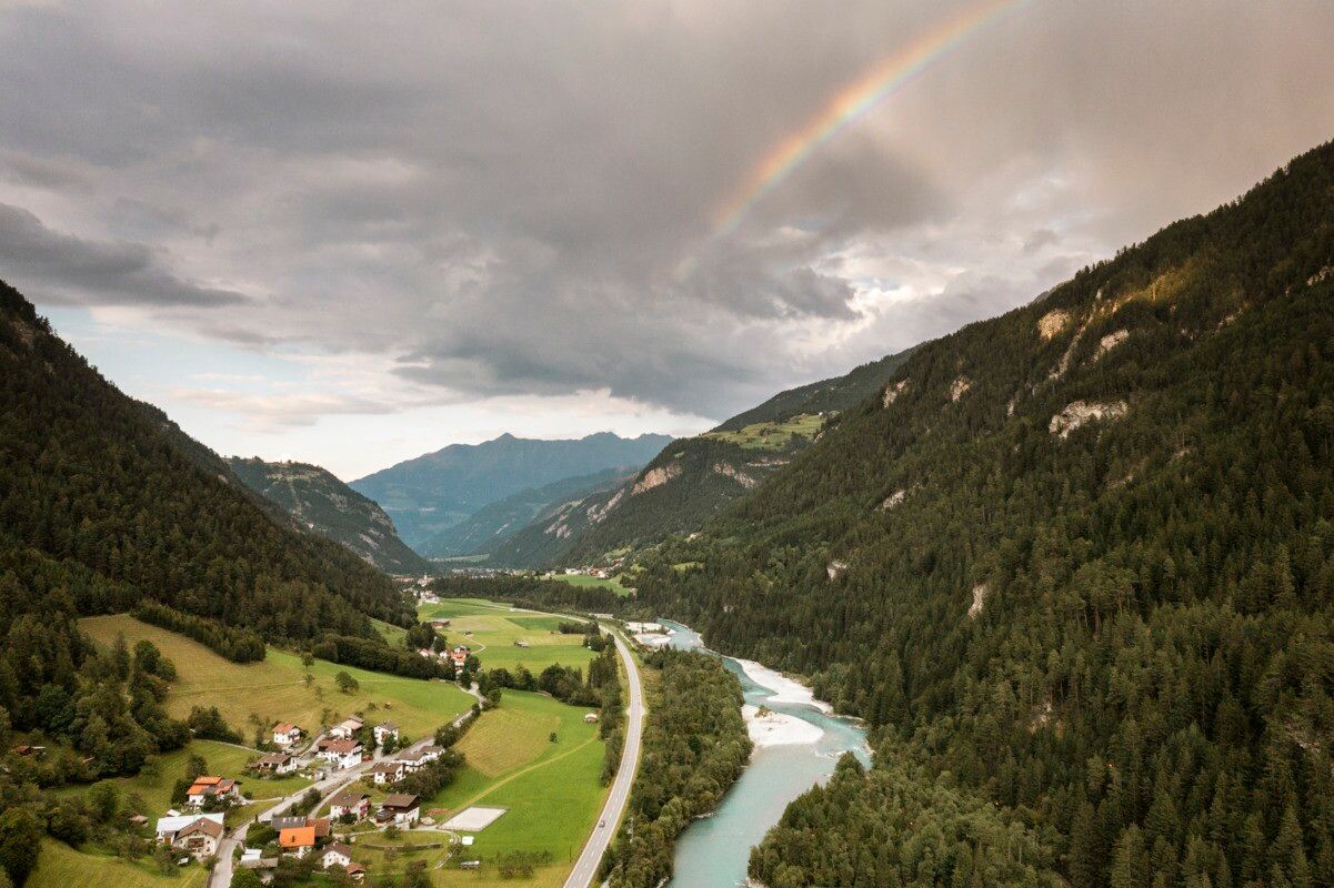
This walk takes you along the Lindach trail above Tösens through peaceful woodland and back via the Steinbrücke hamlet.
Tour information

  • Requirement: easy
  • Length: 6.2 km
  • Duration: 1:50 h
  • Elevation uphill:120 hm
  • Elevation downhill:124 hm
Highest point1,001 m

Starting point

Gemeindeamt | Tösens

Finishing point

Gemeindeamt | Tösens
  • Fitness level 1 / 6
  • Technique 2 / 6

Best time of year

  • January
  • February
  • March
  • April
  • May
  • June
  • July
  • August
  • September
  • October
  • November
  • December

Trail condition

asphalt, forest road, trail

Equipment

We recommend equipment suitable for the tour and weather conditions, including sturdy shoes, weatherproof clothing, food, and appropriate maps.
Source: TVB Tiroler Oberland

Description

The starting point of this walk is the municipal office in Tösens. From there, turn left at the parish church of Tösens towards Obertösens. At the junction leading to Übersachsen, the Lindach trail branches off to the left below the Forcher family farm. The path begins as a narrow trail and later widens as it continues through the forest above Tösens, offering relaxing setting. It eventually ends at the old federal road. After about five minutes walking along this road towards Ried, a turn-off to the left leads to the Steinbrücke area. From there, an asphalt road takes you back to Tösens and the starting point.

Getting here

  • Arrival by public transport

    Line 210, Bus stop:  Tösens Gemeindeamt

  • Parking

    municipal parking area in Tösens, free of charge

FAQs

More tours in the surrounding area

Newsletter

The mountain is calling? So does our newsletter!

In our monthly newsletter we reveal the best holiday tips for Tyrol.