
Opening hours:Open today
Place:Sautens
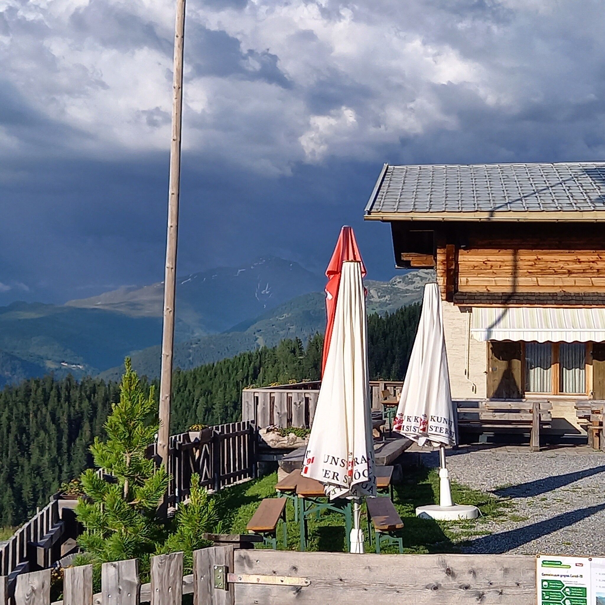
:Restaurant
SAUTENS -> Three Churches View -> Holzberg -> Reichenbachalm -> MAISALM
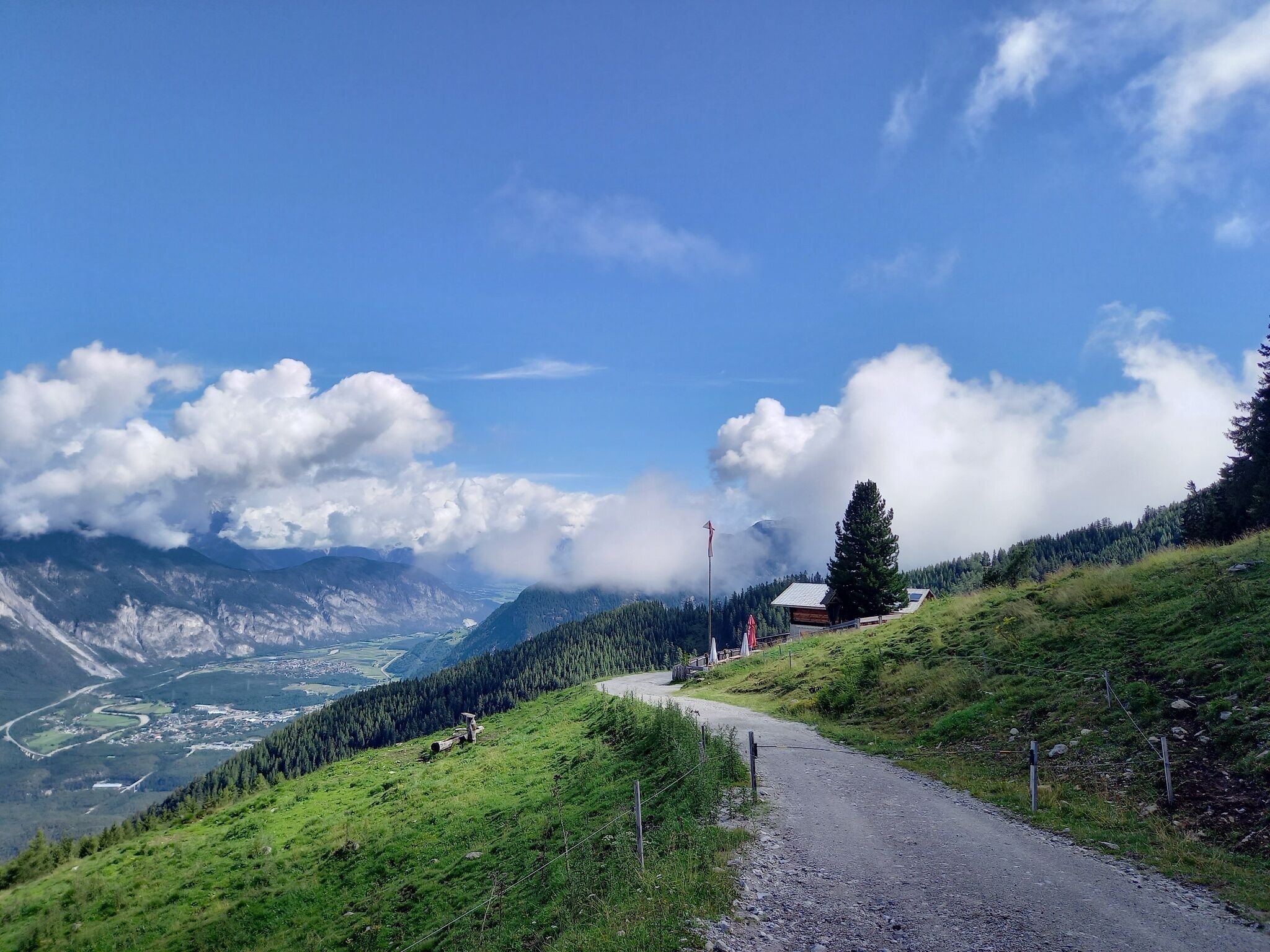

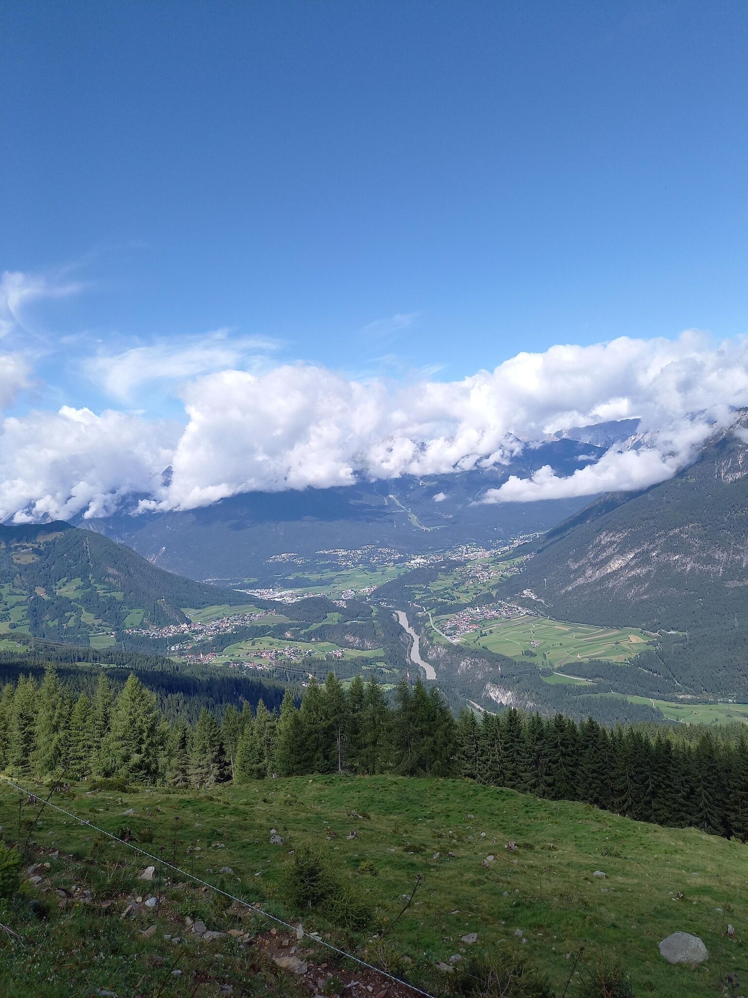
From the Sautens church, you walk leisurely to the Three Churches View and further to the barbecue area "Goaßtalbrunnen". Follow the forest road in switchbacks through the forest to the junction towards Maisalm. The beautiful forest path passes by the Reichenbachalm (not operated) to the Maisalm. At the pasture, you will be rewarded for the ascent with a wonderful view of the Inn Valley, Roppen, and the Pitztal.
Travel comfortably and safely by train to the Ötztal station. The final stop or exit point is the ÖTZTAL station. Then travel comfortably and quickly with public transport or local taxi companies throughout the valley! The current bus schedule is available at: fahrplan.vvt.at
For all aviation fans, Innsbruck Airport is connected by daily scheduled flights directly to destinations across Europe. Additionally, numerous charter flights are operated. A comfortable and time-saving journey is guaranteed. More information for your flight search at: www.checkfelix.com
The following parking options are available in Sautens:


