Mountain hikes Middle High Trail Alpbach (Year-round hiking trail)

Alpbach / Kitzbühel Alps
Difficulty ratings: medium
Route length: 9.0 km
Duration: 3:00 h

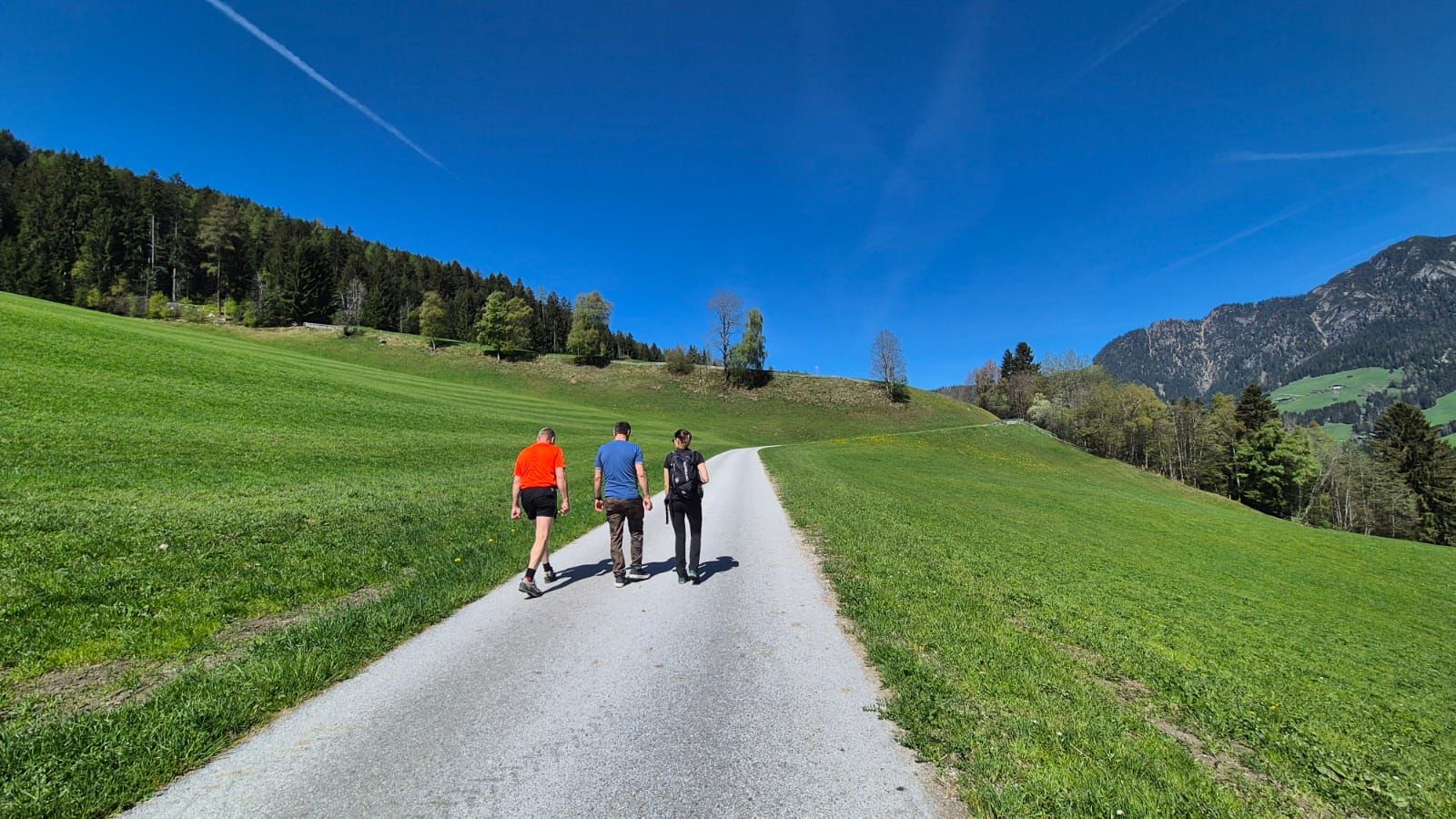
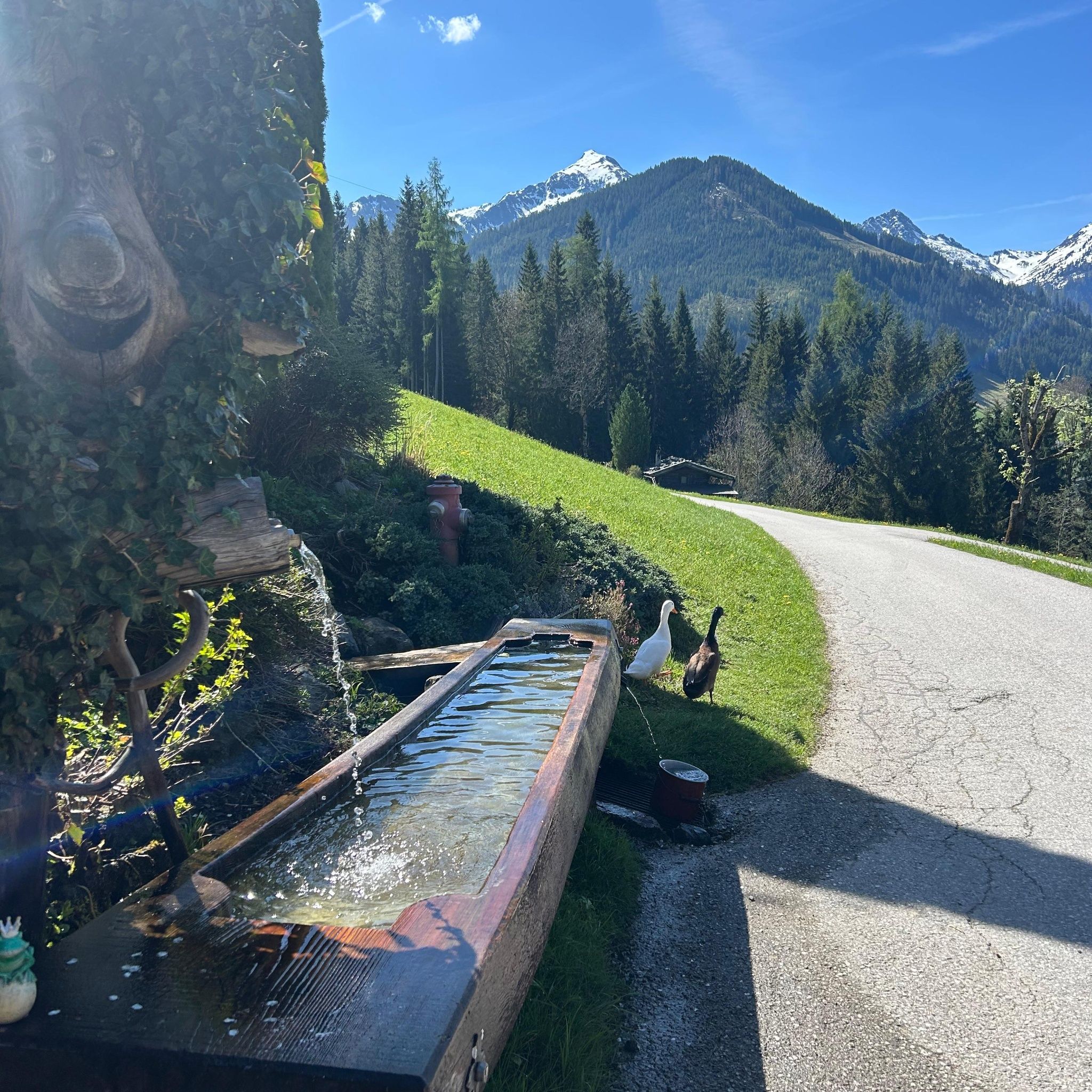
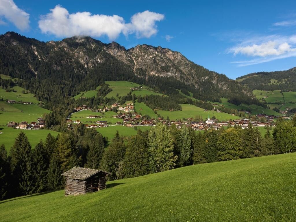
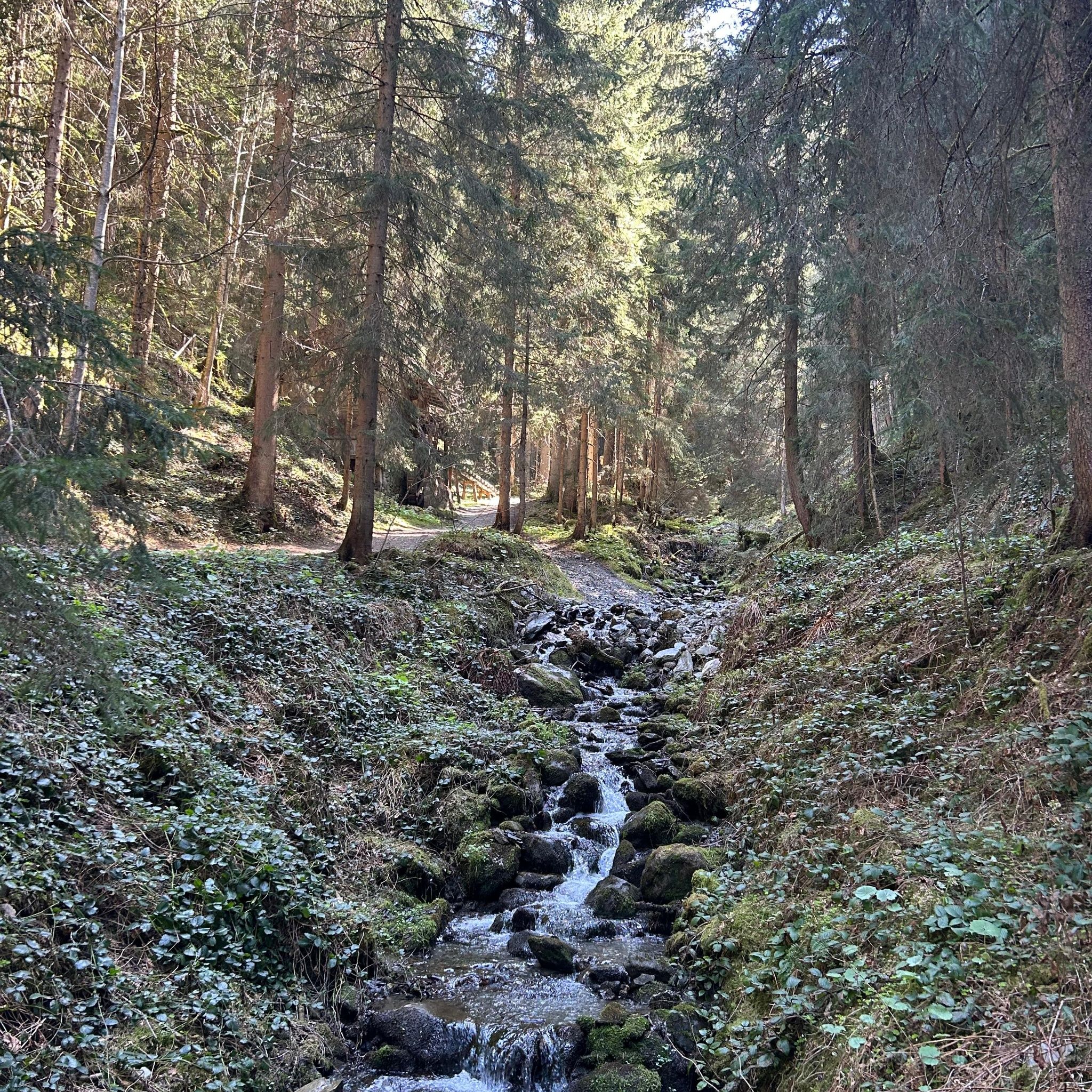
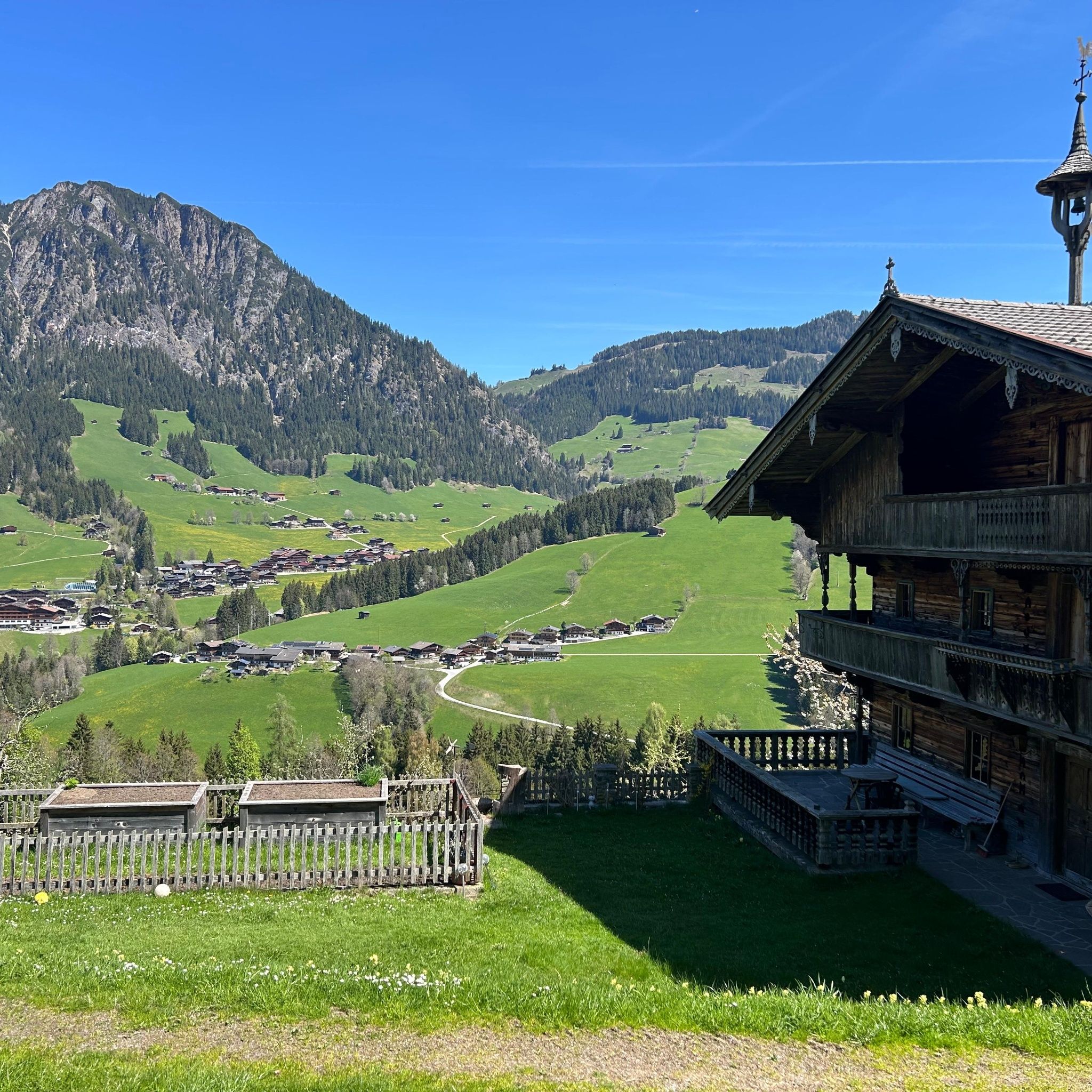
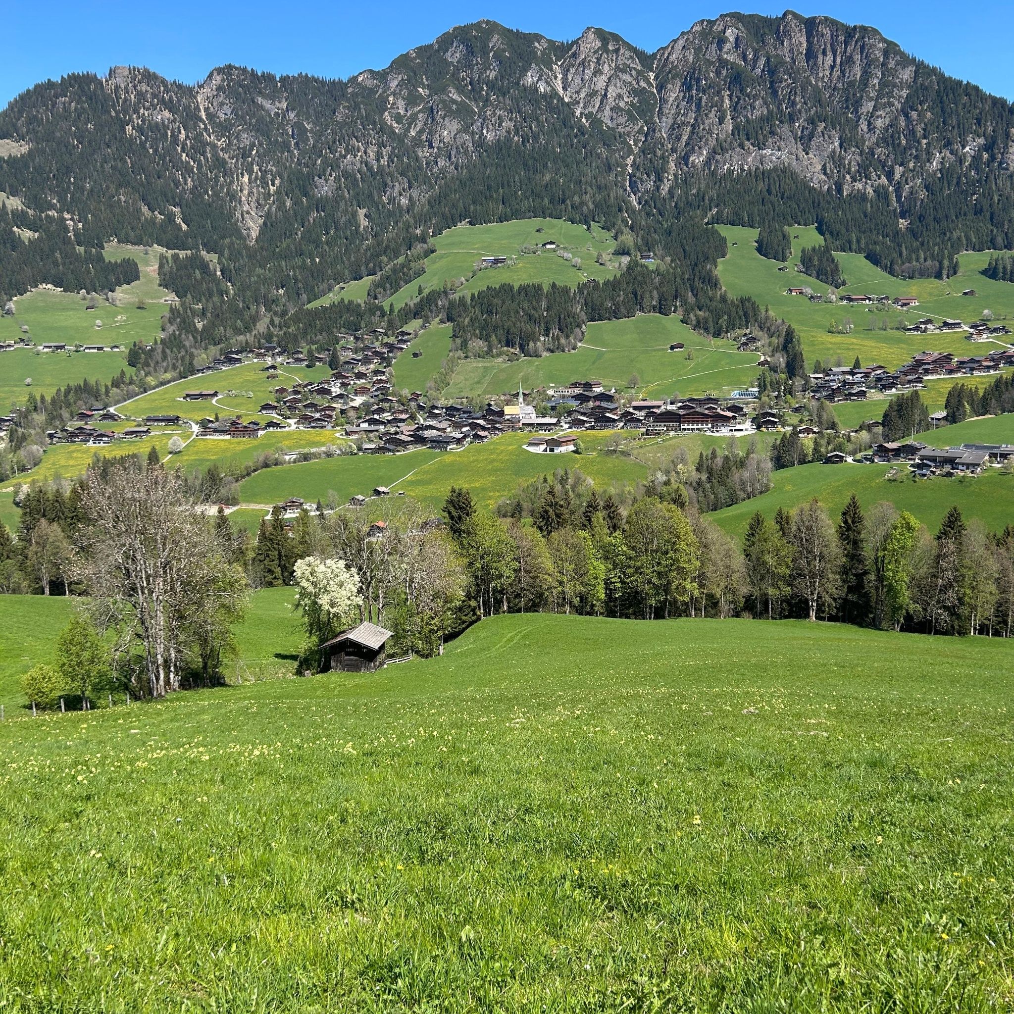
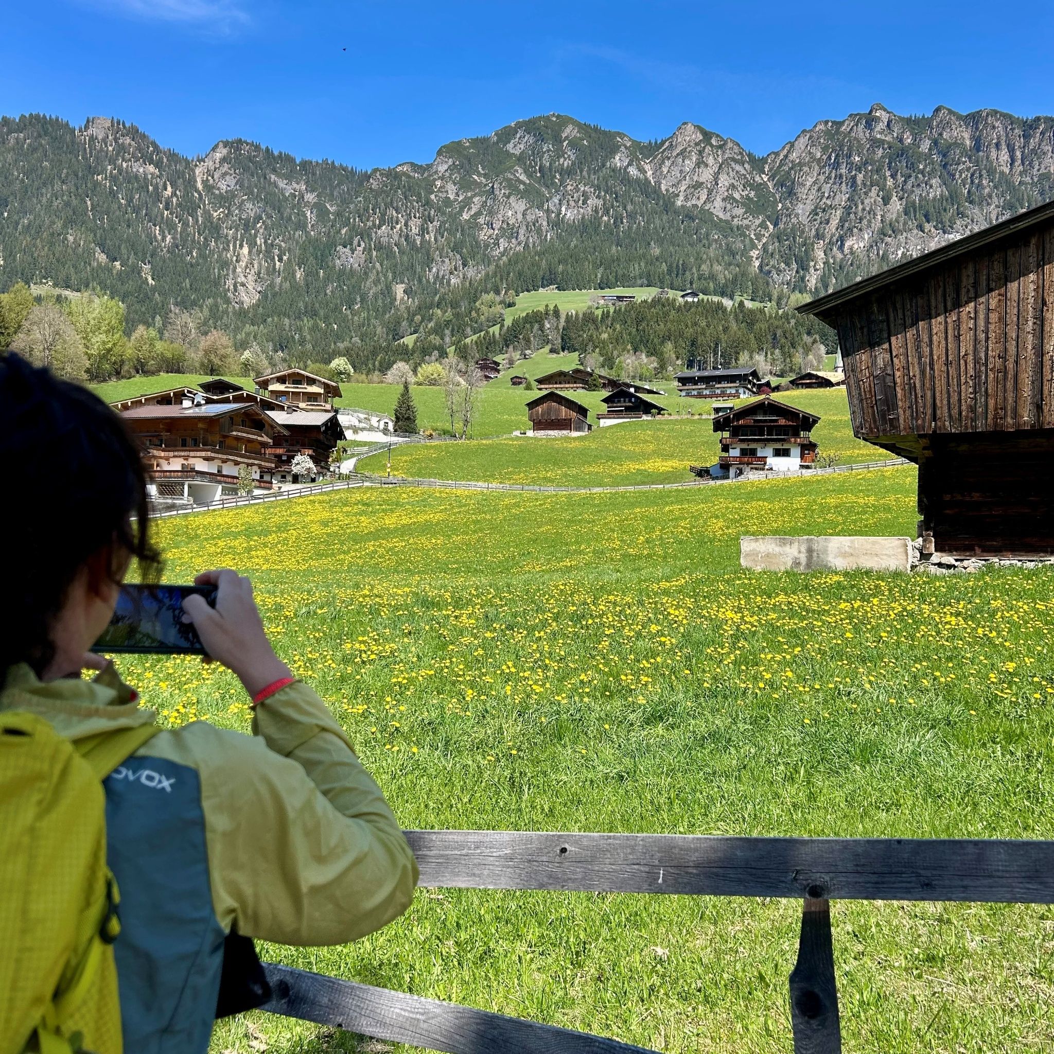
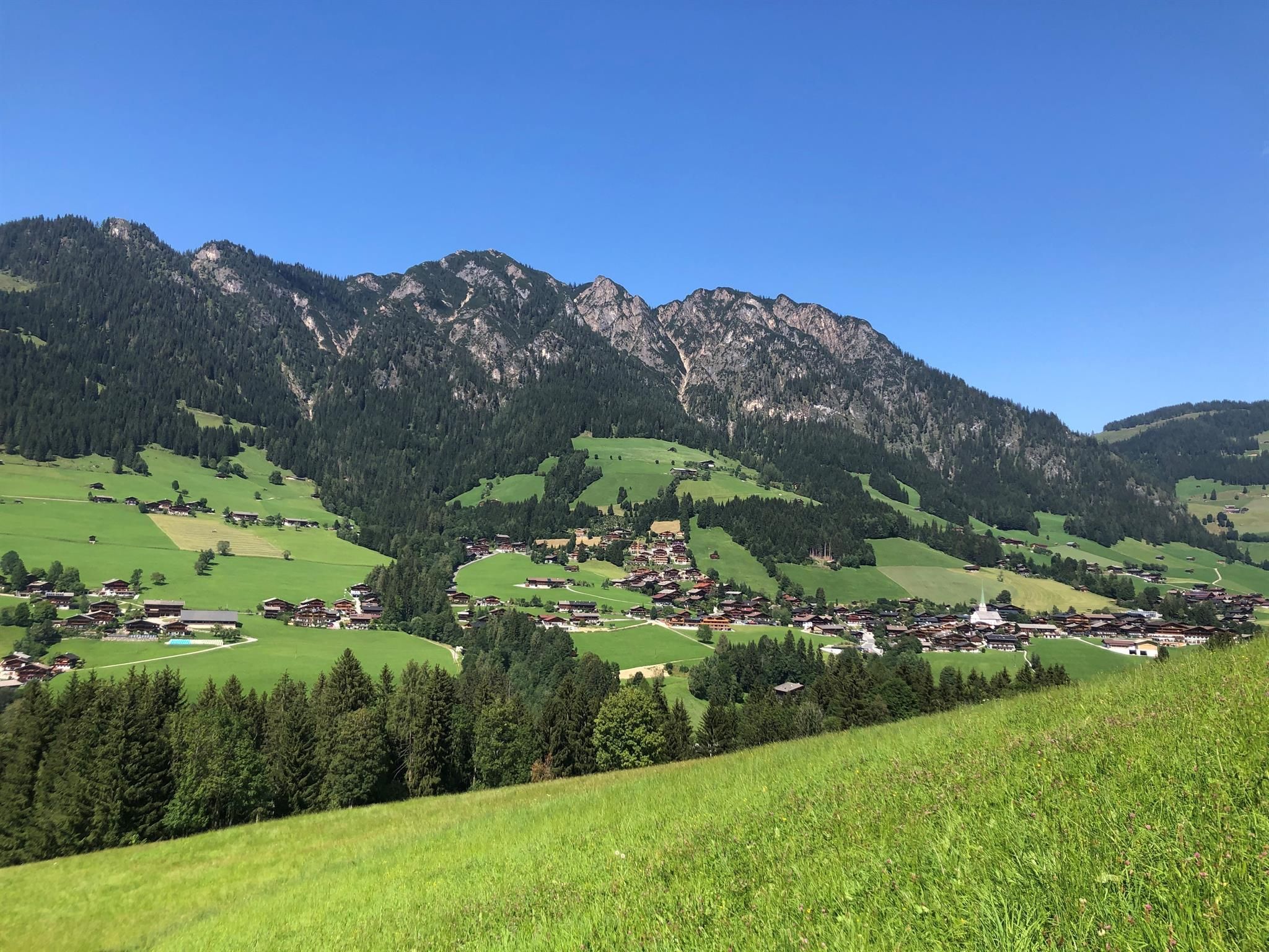
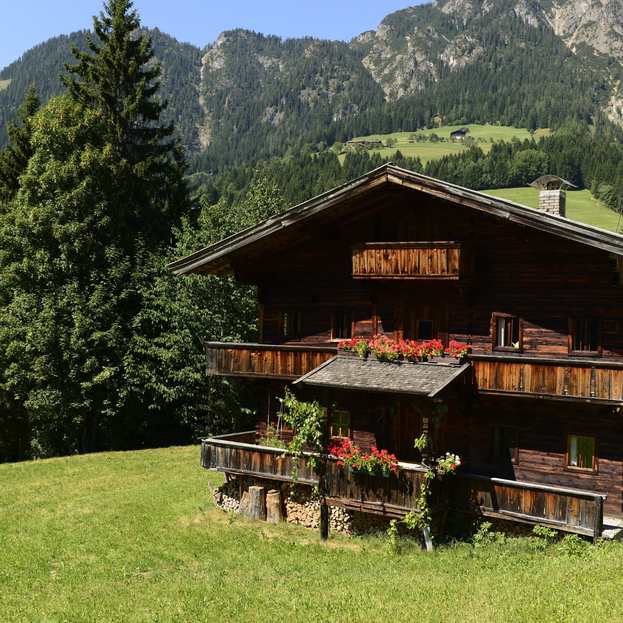
Certified year-round hiking trail: A varied circular hike on the sunny side of Alpbach, offering beautiful views of the village and the surrounding mountains. The Mittlerer Höhenweg combines sunny stretches with peaceful forest paths, making it ideal for a leisurely hike.
Tour information

  • Requirement: medium
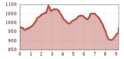
  • Length: 9.0 km
  • Duration: 3:00 h
  • Elevation uphill:301 hm
  • Elevation downhill:301 hm
Highest point1,076 m

Starting point

Alpbach

Finishing point

Alpbach
  • Fitness level 3 / 6

Best time of year

  • January
  • February
  • March
  • April
  • May
  • June
  • July
  • August
  • September
  • October
  • November
  • December

Equipment

sturdy shoes

Source: Alpbachtal Tourismus

Description

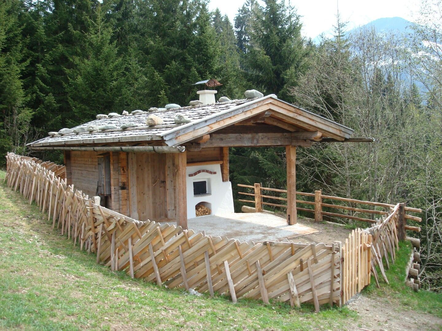
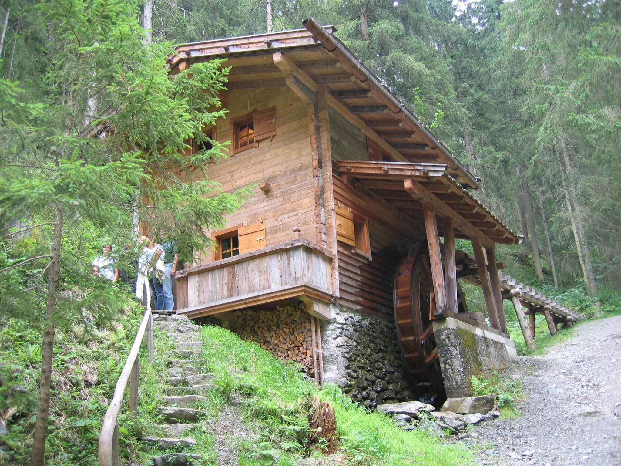
Below the church past the Hotel Alpbacherhof, then cross the small bridge, turn right at the fork and over the Mühlbach bridge (the entrance to the Mühlbach path – Path of Reflection – is on the left) first follow path A4 to Stoffen and now continue on path A7 (Middle High Trail) via Stettau, past the Brechelstube and the grain mill.

Then the path continues to Inneralpbach. From here you can also start the return journey with the regional bus!

On foot, follow the street downhill, after the fire station turn left, cross the bridge following path A11 downhill to "Oberhaus". Here take path A9 downhill to the bridge, now along the street to the right uphill, and at the junction "to the sports field" turn left on path A4 uphill to the village center and the starting point. 


Nearby huts and mountain restaurants

Getting here

  • Parking

    A12, motorway exit Kramsach/Brixlegg, direction Brixlegg, direction Alpbachtal, to Alpbach
    in front of Alpbach village center

Weather

Today

light rain
15°C/7°C
75%0.8l5 km/h

Thu

mainly clear
17°C/5°C
0%0l5 km/h

Fri

mainly clear
19°C/5°C
5%0l5 km/h
Go to weather forecast

More tours in the surrounding area

  • Kaiser Gorge - loop trail

    Difficulty:easy
    Length:4.2 kmDuration:1:00 hElevation uphill:198 m
  • Voldöpper Spitze Loop Hike

    Difficulty:medium
    Length:12.9 kmDuration:5:00 hElevation uphill:988 m
  • Barrier-free path Lake Reintal

    Difficulty:medium
    Length:7.0 kmDuration:1:45 hElevation uphill:15 m
  • Day 1: 4 days - 4 summits tour

    Difficulty:medium
    Length:9.8 kmDuration:5:00 hElevation uphill:984 m
  • 3-peak-tour Kienberg-Plessenberg-Heuberg

    Difficulty:medium
    Length:8.6 kmDuration:4:30 hElevation uphill:779 m
  • Day 3: 4 days - 4 summits tour

    Difficulty:medium
    Length:19.3 kmDuration:8:00 hElevation uphill:1,371 m
  • 4 days - 4 summits tour

    Difficulty:medium
    Length:54.4 kmDuration:4 daysElevation uphill:3,408 m
  • Loop tour Juppi Zauberwald

    Difficulty:easy
    Length:2.5 kmDuration:1:00 hElevation uphill:93 m
  • Farmkehralm 1.521 m

    Difficulty:medium
    Length:9.3 kmDuration:3:30 hElevation uphill:506 m
  • Kundler Klamm

    Difficulty:easy
    Length:6.4 kmDuration:2:00 hElevation uphill:116 m
  • 3-day Family Tour Alpbachtal

    Difficulty:easy
    Length:18.3 kmDuration:3 daysElevation uphill:998 m
  • Rofan tour - stage 3

    Difficulty:difficult
    Length:11.8 kmDuration:7:30 hElevation uphill:1,150 m
Newsletter

The mountain is calling? So does our newsletter!

In our monthly newsletter we reveal the best holiday tips for Tyrol.